

United Arab Emirates Garmin topographic map
$29
United Arab Emirates topo map for Garmin
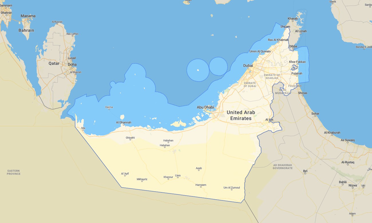
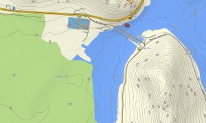
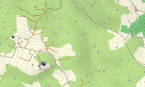
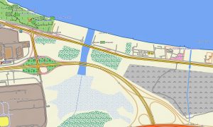
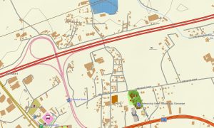
Navigate the United Arab Emirates’ expressways, desert dunes, and mountain areas with a detailed topographic Garmin map built for both urban and off-road use. This Garmin GPS map covers Abu Dhabi, Dubai, Sharjah, the Hajar Mountains, and interior desert regions, augmenting basic Garmin maps with OSM topographic maps that display relief, wadis, and off-highway tracks.
Designed as an OSM map tourist Garmin solution, it supports city driving, desert safaris, dune bashing, mountain hikes, and coastal trips. These outdoor maps Garmin users rely on function fully offline, so your Garmin map keeps operating in remote desert camps, wadis, and new development zones.
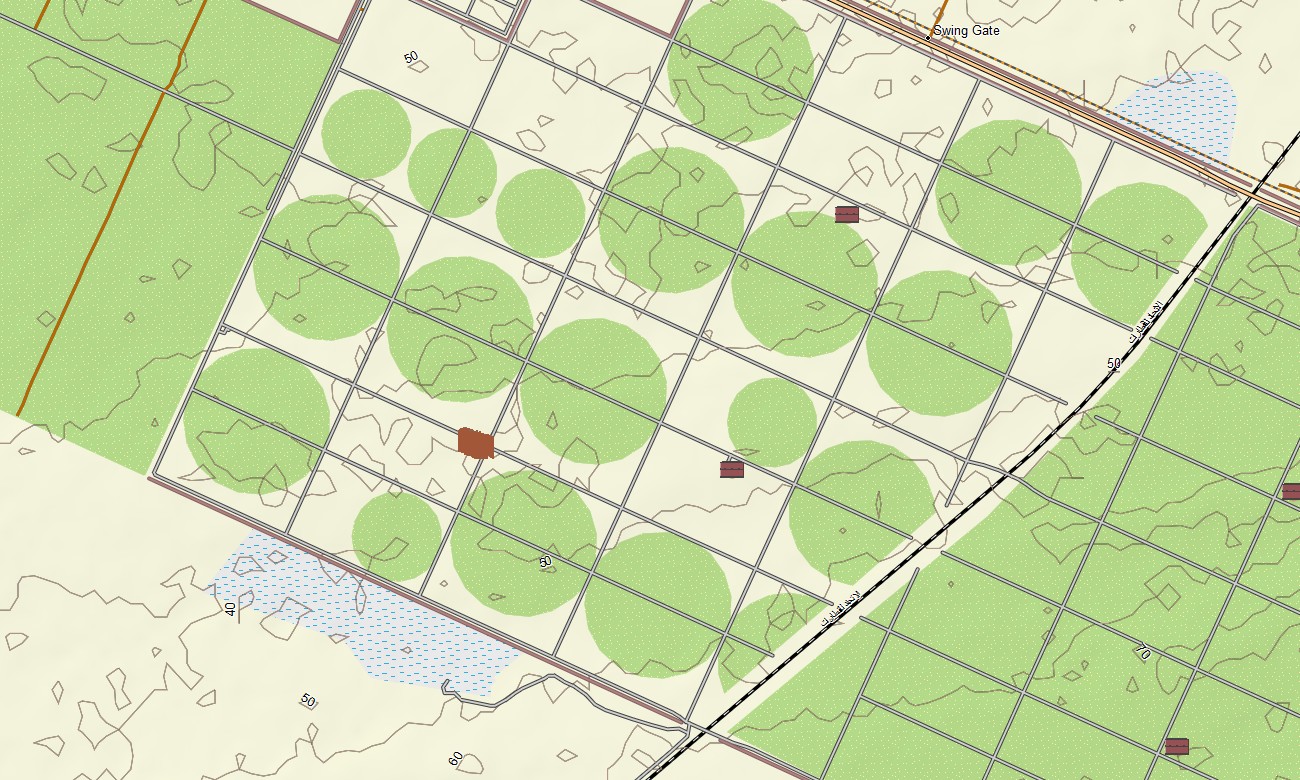
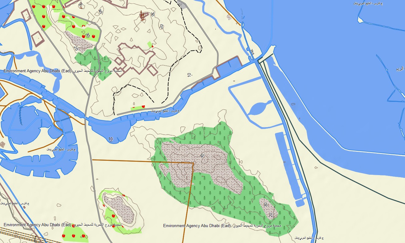
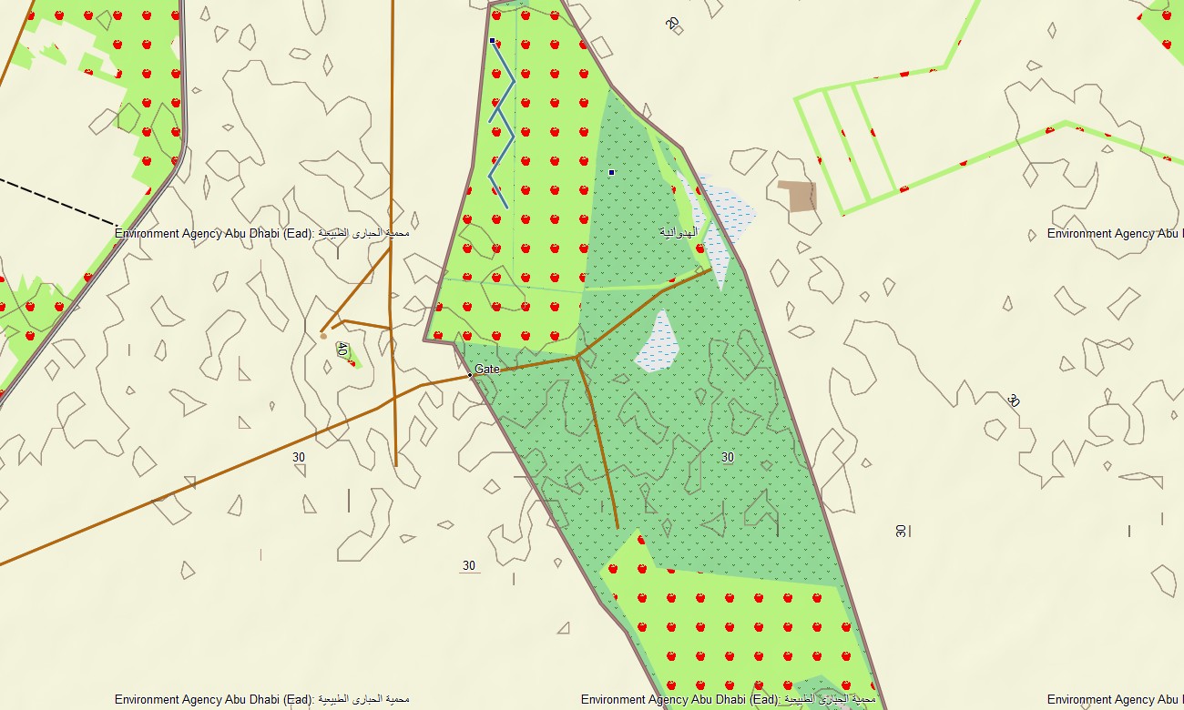
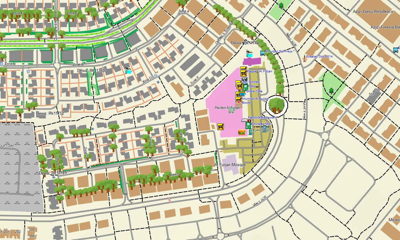
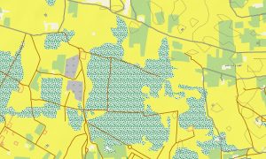
As an OSM topo map, it blends contour lines, dune fields, wadis, gravel plains, mountain tracks, desert pistes, and dense urban networks. Open street maps Garmin layers provide detailed junction layouts, service roads, and emerging infrastructure, while OSM topographic maps show subtle relief that shapes routes in otherwise flat terrain. Routing-ready maps for Garmin navigator devices calculate efficient paths along multilane highways, city streets, and mapped desert tracks where routing is supported. With one Garmin GPS map, residents and visitors can manage commuting, logistics, and recreation with offline turn-by-turn guidance.
Garmin OSM maps can be installed as a map for Garmin watch on supported running, hiking, and 4×4-oriented watches. Users can follow OSM topo map lines and key waypoints from the wrist while exploring dunes or wadis. Layered cartography integrates transport, relief, hydrology, coastlines, and settlements into one Garmin map, making topographic maps for Garmin highly valuable for fleet operators, tour companies, and adventure travelers in the UAE. Delivered as downloadable Garmin maps, the UAE product is provided via a download Garmin map link and updated frequently to track fast-changing infrastructure.
Key Features:
- Topographic maps for Garmin covering the United Arab Emirates with highways, city streets, service roads, desert pistes, mountain tracks, wadis, coastline, and elevation contours
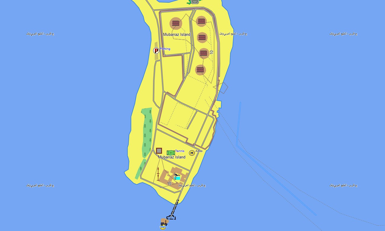
- Natural and modified features such as dune fields, gravel deserts, mountains, coastal lagoons, man-made islands, and reclaimed land are shown on the OSM topographic maps
- OSM topo map data helps users evaluate dune areas, wadi depths, and gentle slopes for safe off-road routes
- Open street maps Garmin layers deliver dense city mapping for Abu Dhabi, Dubai, Sharjah, and other emirates with POIs and infrastructure
- Routing on maps for Garmin navigator units supports daily commuting, inter-emirate travel, and tourist circuits with offline navigation
- Outdoor maps Garmin users can download Garmin map segments for key adventure zones such as Liwa, Hatta, or Jebel Jais
- Garmin OSM maps operate on handheld GPS receivers and can function as a map for Garmin watch on compatible devices
- The Garmin map, leveraging an OSM map tourist Garmin base, turns the Garmin GPS map into a versatile navigation tool for both city and desert exploration in the UAE
Only logged in customers who have purchased this product may leave a review.
Reviews
There are no reviews yet.