
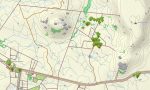
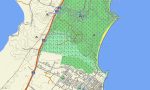
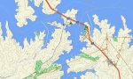
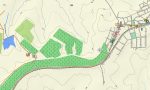
Uruguay Garmin topographic map
$29
Uruguay topo map for Garmin
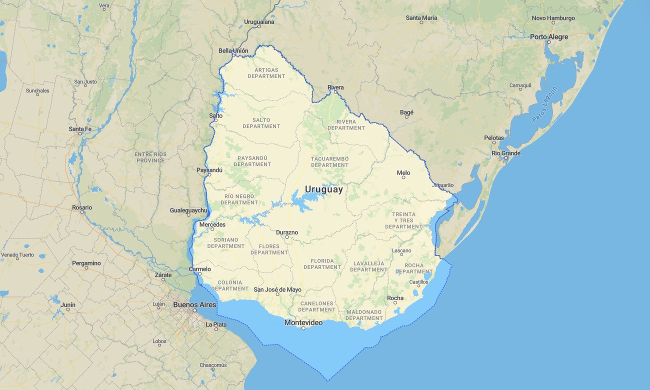
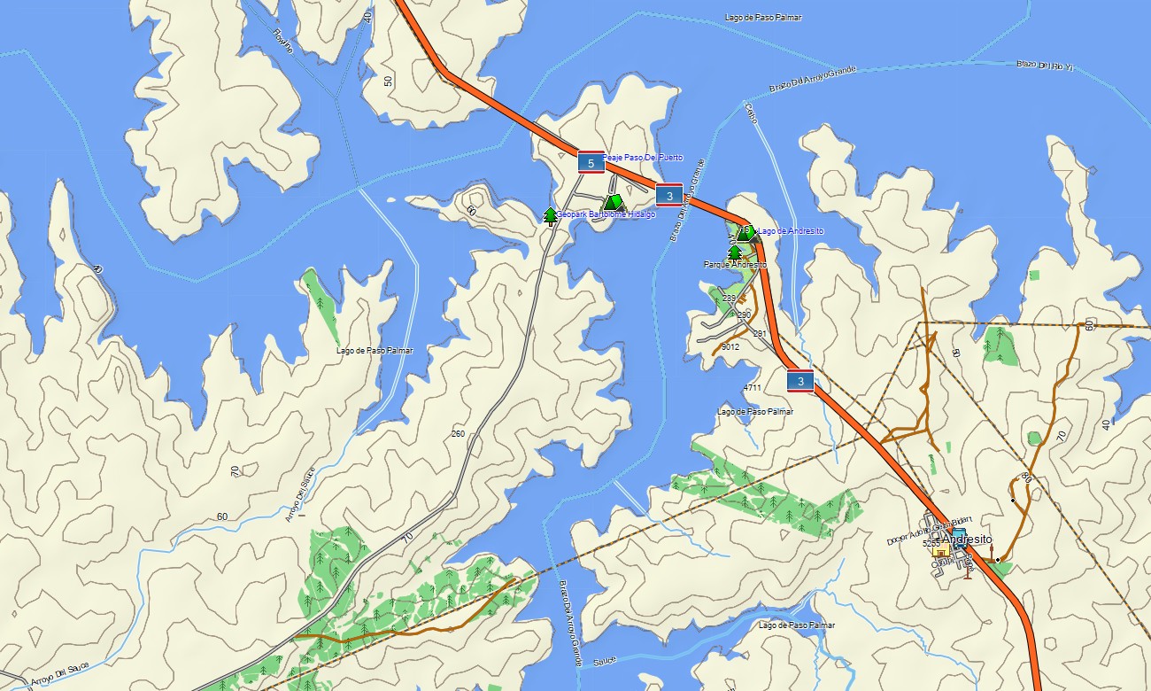
Discover the gentle landscapes and coastal charm of Uruguay with a detailed topographic Garmin map crafted for seamless travel across its rolling plains, vineyard-covered hills, and expansive Atlantic beaches. This comprehensive Garmin GPS map provides full coverage from the historic capital Montevideo to the thermal springs in the north and the vibrant beach resorts of Punta del Este, ensuring reliable navigation for leisure and cultural travel.
Conceived as a versatile OSM map tourist Garmin solution, it is ideal for hiking tours along the rocky coast of Cabo Polonio and scenic road trips through the wine-producing region of Canelones. These dependable outdoor maps Garmin travelers rely on work completely without an internet connection. Instant download with regular free updates included guarantees your Garmin map stays a current and accurate companion for any journey.
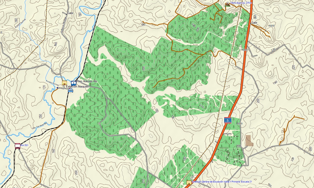
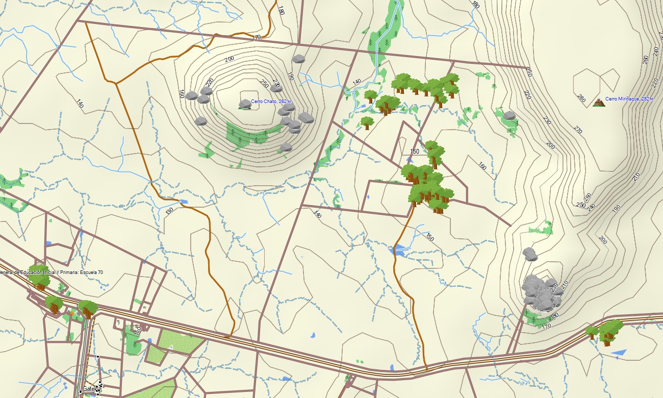
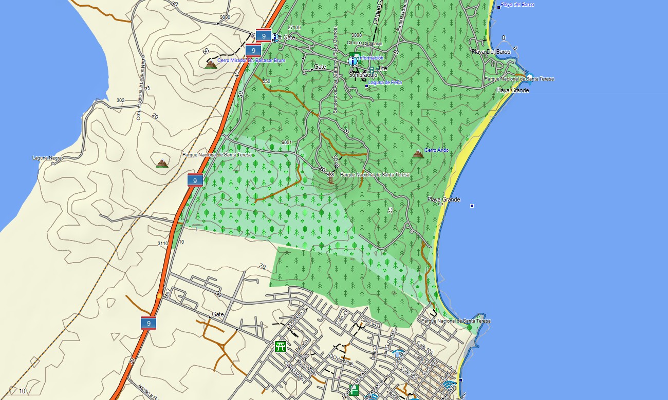
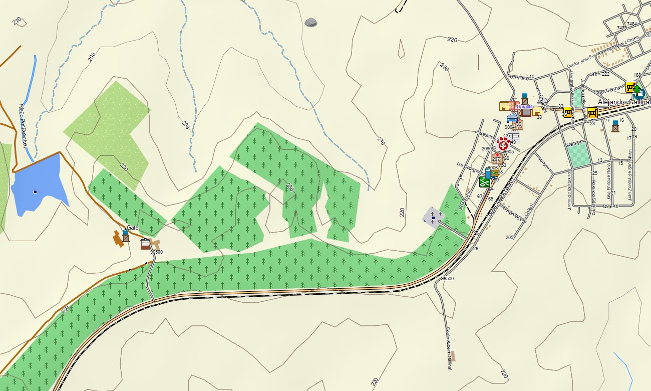
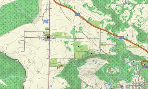
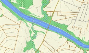
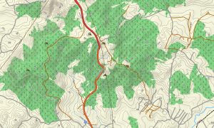
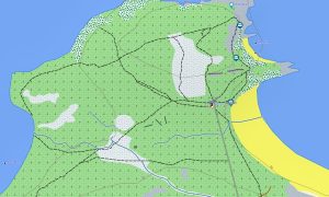
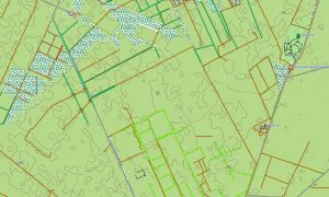
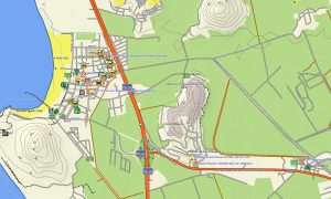
This Garmin GPS map functions as a clear OSM topo map, integrating a well-developed network of national highways, rural routes, river systems, lagoons, and subtle elevation contours. The characteristic terrain of the rolling Pampas, the wetlands of the Esteros de Farrapos, and the granite hills of the Cuchilla Grande are clearly shown, making these topographic maps for Garmin perfect for exploring the country’s understated natural beauty.
Featuring integrated routing, these maps for Garmin navigator devices enable easy planning and turn-by-turn instructions directly on your GPS. Whether driving along the coastal Rambla, traversing the agricultural interior, or navigating city streets, this Garmin map provides consistent offline guidance.
The map includes multiple data layers: complete road networks for cross-country travel, detailed street plans for cities and towns, and rich topographic information for rural exploration. After purchase, you get an instant download link; setup is fast, and routine updates keep your Garmin OSM maps precise and reliable over time.
Key Features:
- Topographic maps for Garmin covering Uruguay with roads, tracks, trails, rivers, lakes, lagoons, coastline, and elevation contours
- Natural features such as rolling plains (pampas), Atlantic coastline, river basins, wetlands, and low hill ranges (cuchillas)
- Complete road coverage including national highways, departmental routes, urban streets, and rural connections
- Points of interest:urban infrastructure, historical colonial sites, archaeological ruins, beach resorts, thermal spas, hilltop views, lighthouses, monuments, wineries, estancias (ranches)
- Routing support for driving and long-distance navigation on compatible devices
- Full compatibility with handheld GPS units, automotive navigators, and as a map for Garmin watch models
Only logged in customers who have purchased this product may leave a review.
Reviews
There are no reviews yet.