

USA Northeast Garmin topographic map
$39
USA Northeast topo map for Garmin
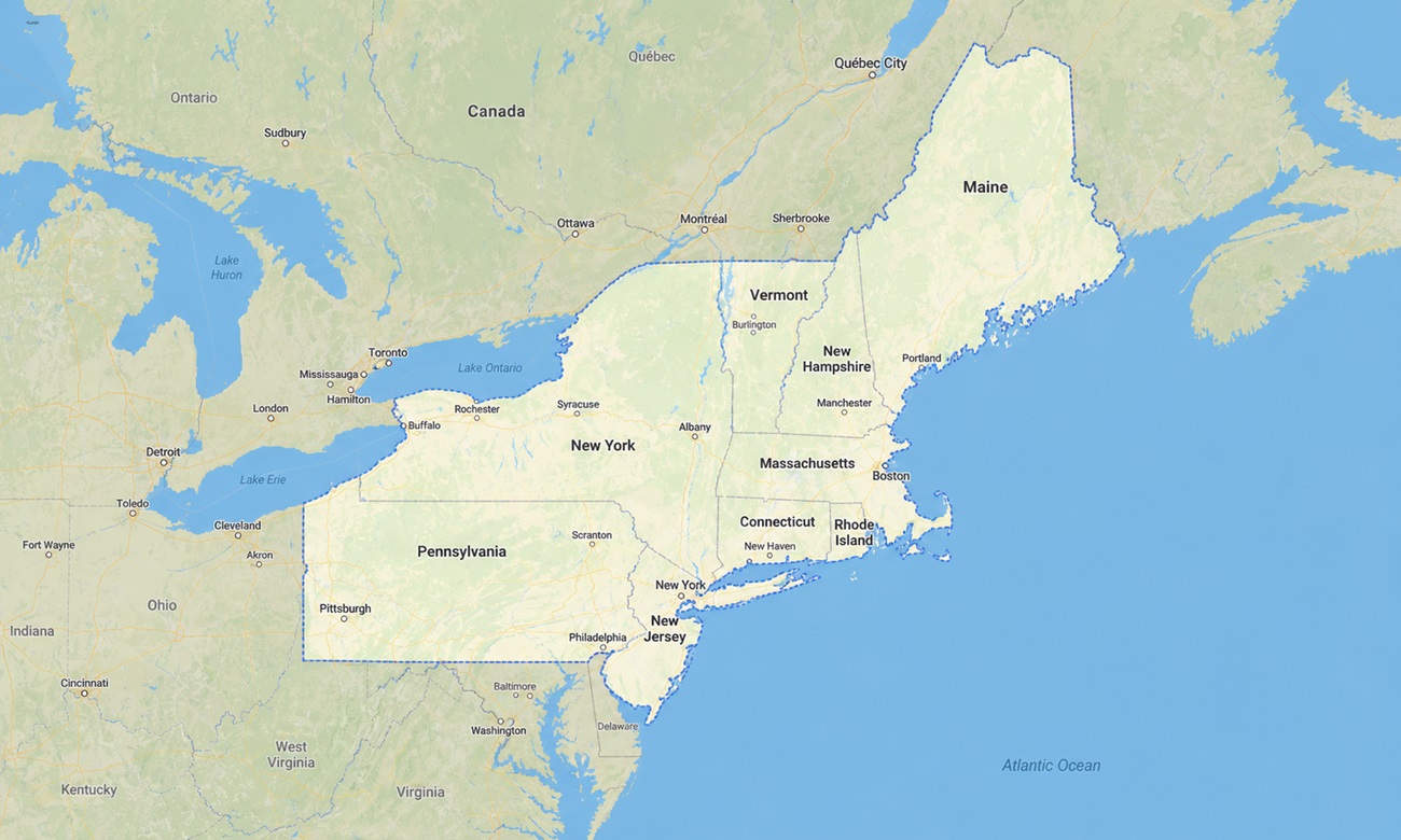
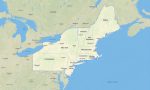
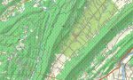
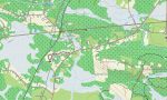
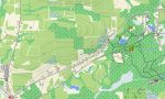
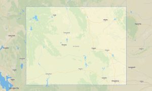
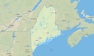
The map contains the following states of the USA: Maine, New Hampshire, Vermont, Massachusetts, Rhode Island, Connecticut, New York, New Jersey, and Pennsylvania. Explore the compact but incredibly varied Northeast with a detailed topographic Garmin map created for city travel, mountain routes, coastal drives, and outdoor recreation. This regional Garmin GPS map covers everything from New York City, Boston, and Philadelphia to the Adirondacks, White Mountains, Green Mountains and the rocky shores of Maine.
Designed as a practical OSM map tourist Garmin solution, it is ideal for hiking, cycling, weekend road trips, scenic touring, and navigating rural backroads across New England and the Mid-Atlantic. These dependable outdoor maps Garmin users rely on work fully offline, helping travelers stay oriented in state forests, mountain valleys, coastal villages, and remote trailhead areas where mobile coverage may be unreliable.
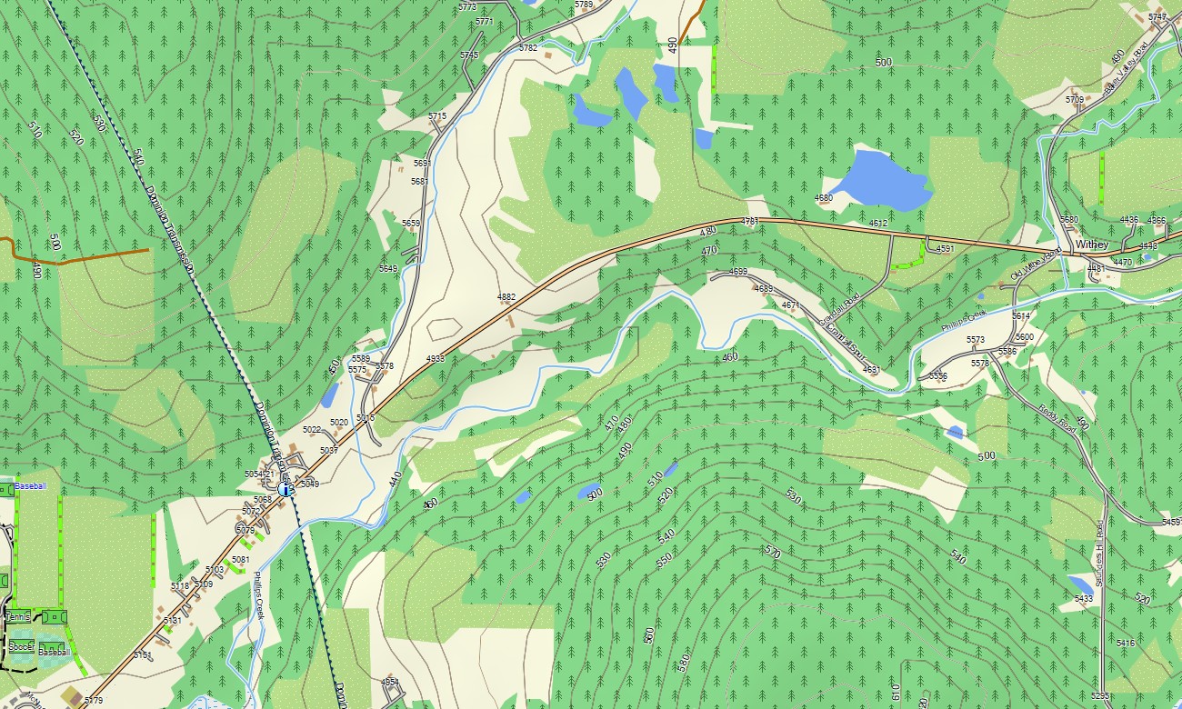
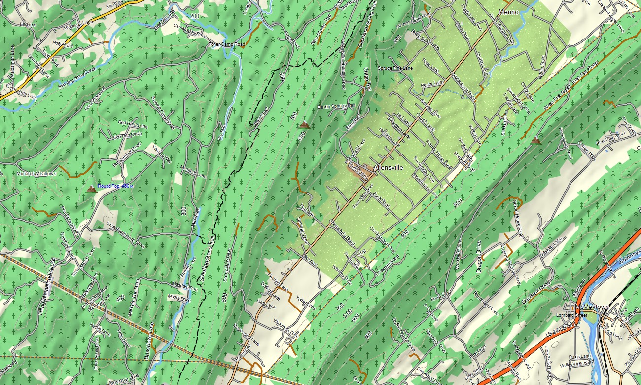
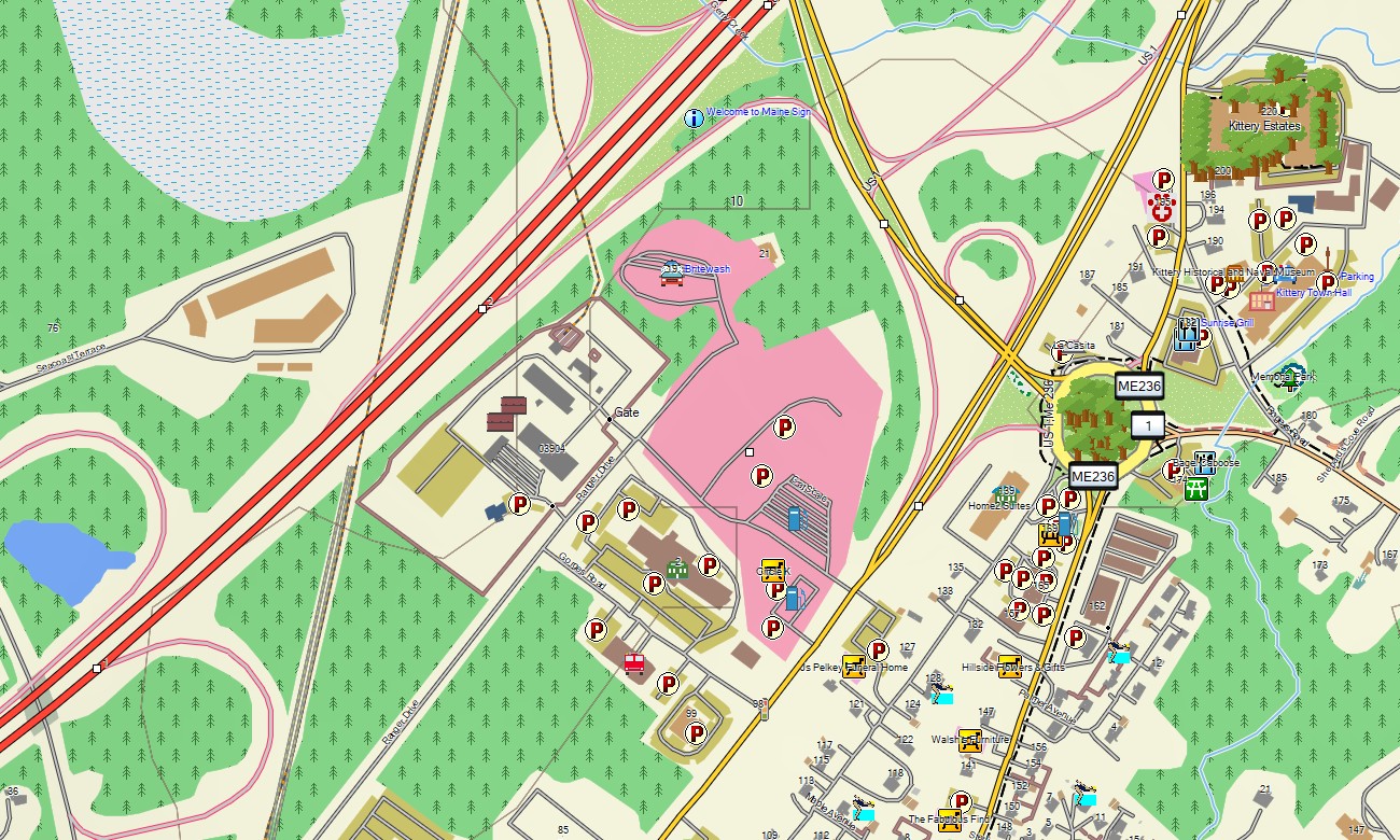
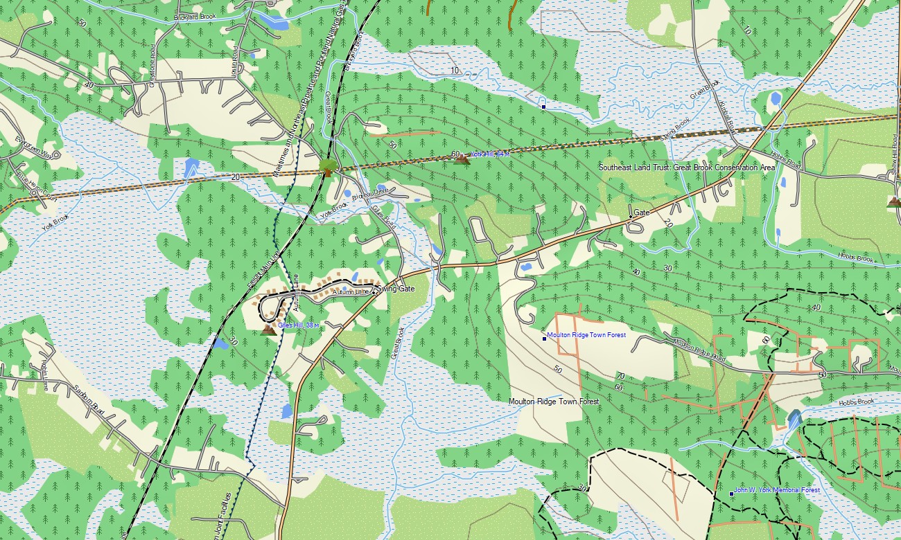
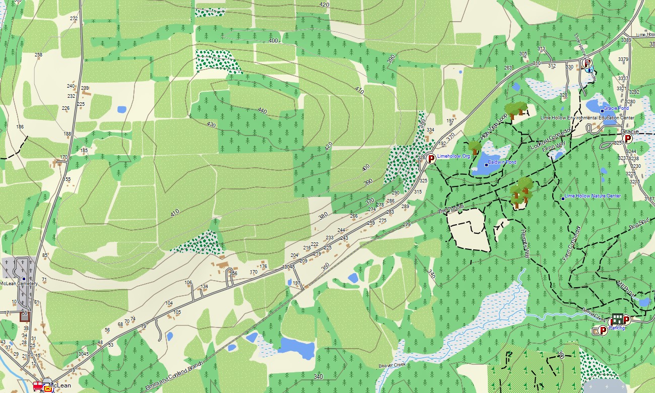
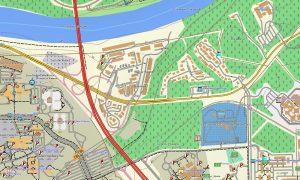
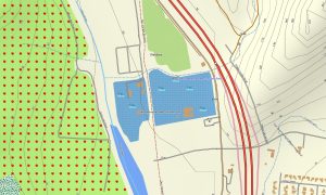
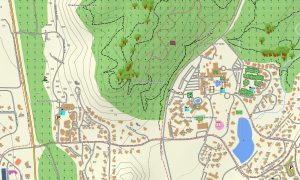
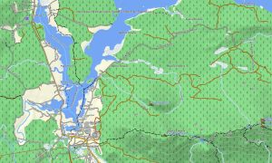
This Garmin GPS map functions as a detailed OSM topo map, combining highways, local streets, hiking paths, rivers, lakes, reservoirs, coastlines, islands, and elevation contours. Natural features such as Acadia’s granite coast, Lake Champlain, the Hudson Valley, the Finger Lakes, the Delaware Water Gap, and Appalachian Trail corridors are clearly represented, making these OSM topographic maps useful for both route planning and terrain awareness.
With routing support, these maps for Garmin navigator devices allow turn-by-turn guidance on compatible units. Whether you are driving through Boston suburbs, crossing Pennsylvania highways, exploring Vermont villages, or locating a trail in New Hampshire, this Garmin map delivers reliable offline navigation without depending on phone service.
Created from open street maps Garmin compatible data and maintained as part of our Garmin OSM maps collection, this product includes road, trail, urban, and terrain layers. After purchase, you receive an instant link to download Garmin map files; installation is straightforward, and the map is compatible with handheld GPS units, vehicle navigators, and supported map for Garmin watch models.
Key Features:
- Topographic maps for Garmin covering the USA Northeast with roads, trails, rivers, lakes, coastline, islands, forests, and elevation contours
- Natural features include the Appalachian Mountains, Adirondacks, White Mountains, Green Mountains, Catskills, Poconos, Atlantic beaches, bays, and river valleys
- Complete road coverage for interstates, state highways, city streets, rural roads, scenic byways, ferry access roads, and park routes
- Points of interest: historic towns, lighthouses, harbors, monuments, campgrounds, ski areas, viewpoints, bridges, ferry terminals, and protected areas
- Routing support for driving, touring, and long-distance navigation on compatible Garmin devices
- Compatible with handheld GPS units, automotive navigators, and selected map for Garmin watch devices
Only logged in customers who have purchased this product may leave a review.

Reviews
There are no reviews yet.