

USA Southwest Garmin topographic map
$39
USA Southwest topo map for Garmin
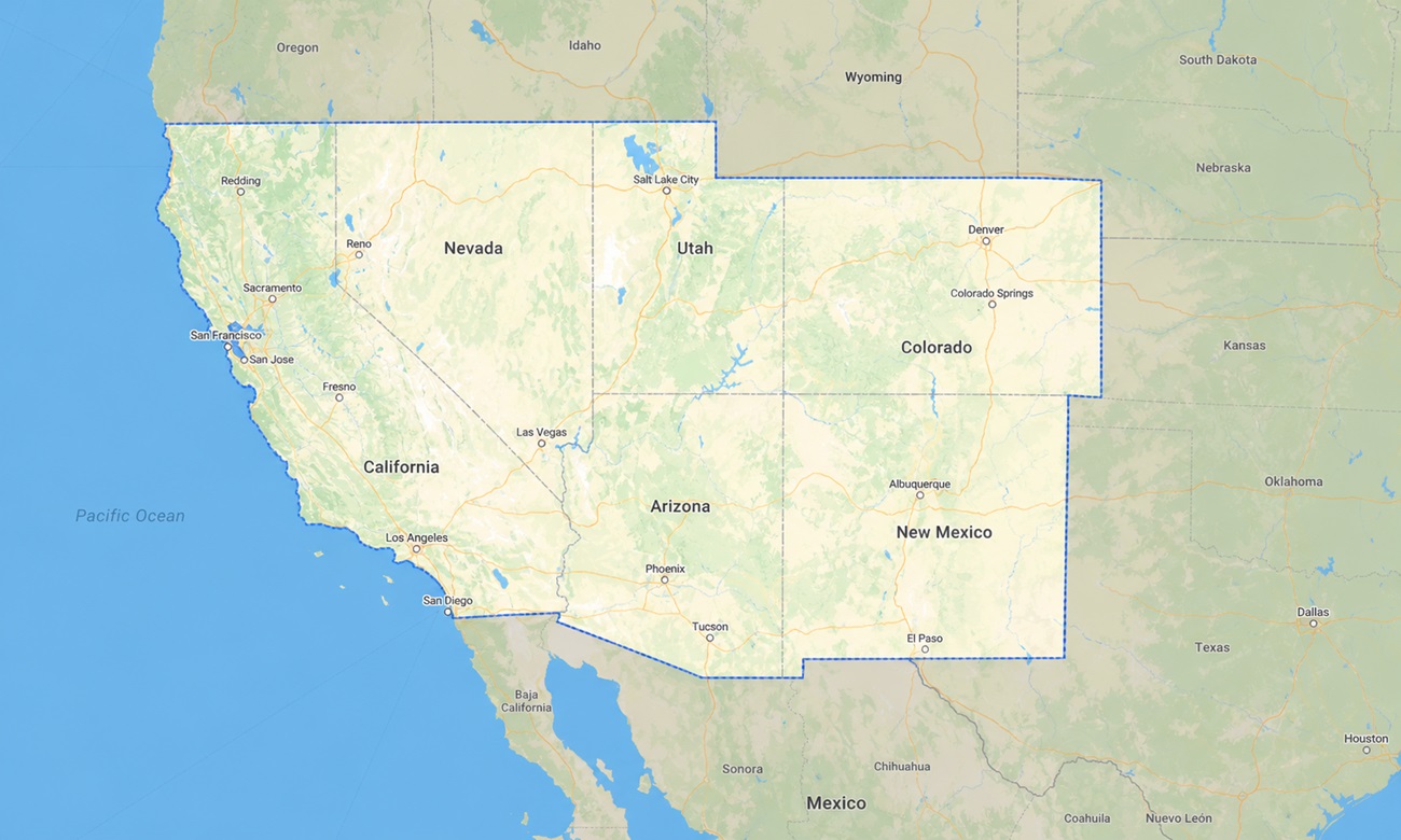
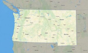
The map contains the following states of the USA: Nevada, Utah, Colorado, Arizona, New Mexico, and California. Navigate the dramatic landscapes of the American Southwest with a detailed topographic Garmin map created for desert highways, canyon trails, mountain passes, coastal routes, and national park adventures.
Built as a premium OSM map tourist Garmin solution, it is designed for travelers exploring Yosemite, Death Valley, Zion, Bryce Canyon, Grand Canyon, Joshua Tree, Rocky Mountain National Park, Monument Valley, and countless desert backroads. These reliable outdoor maps Garmin users depend on work fully offline, making them essential in remote canyons, desert valleys, alpine forests, dry lake basins, and mountain regions where mobile internet may not be available.
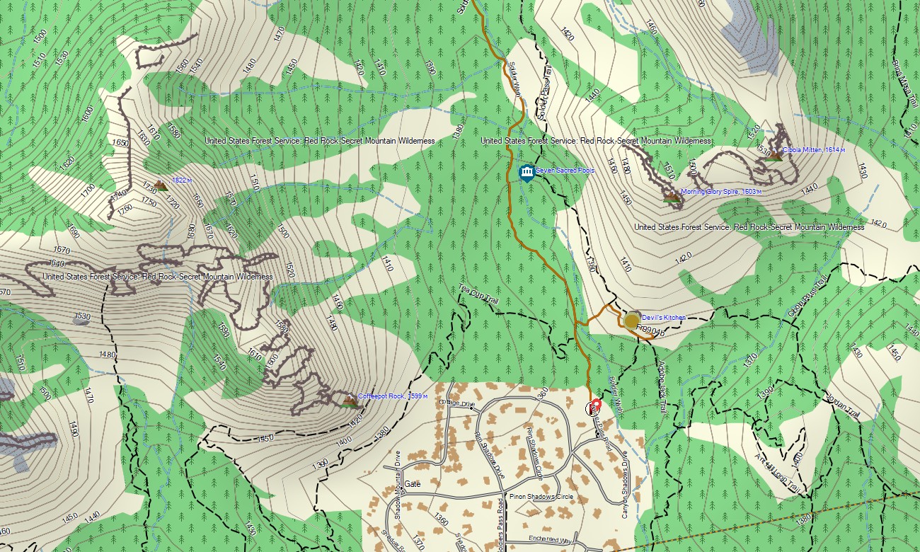
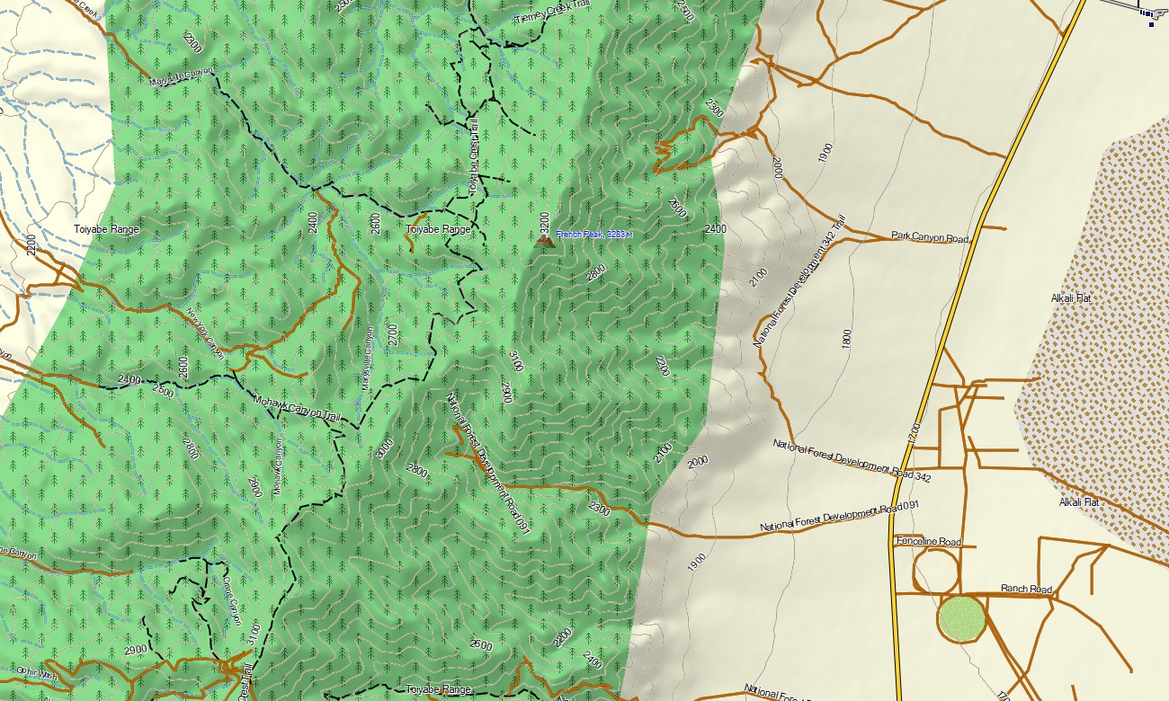
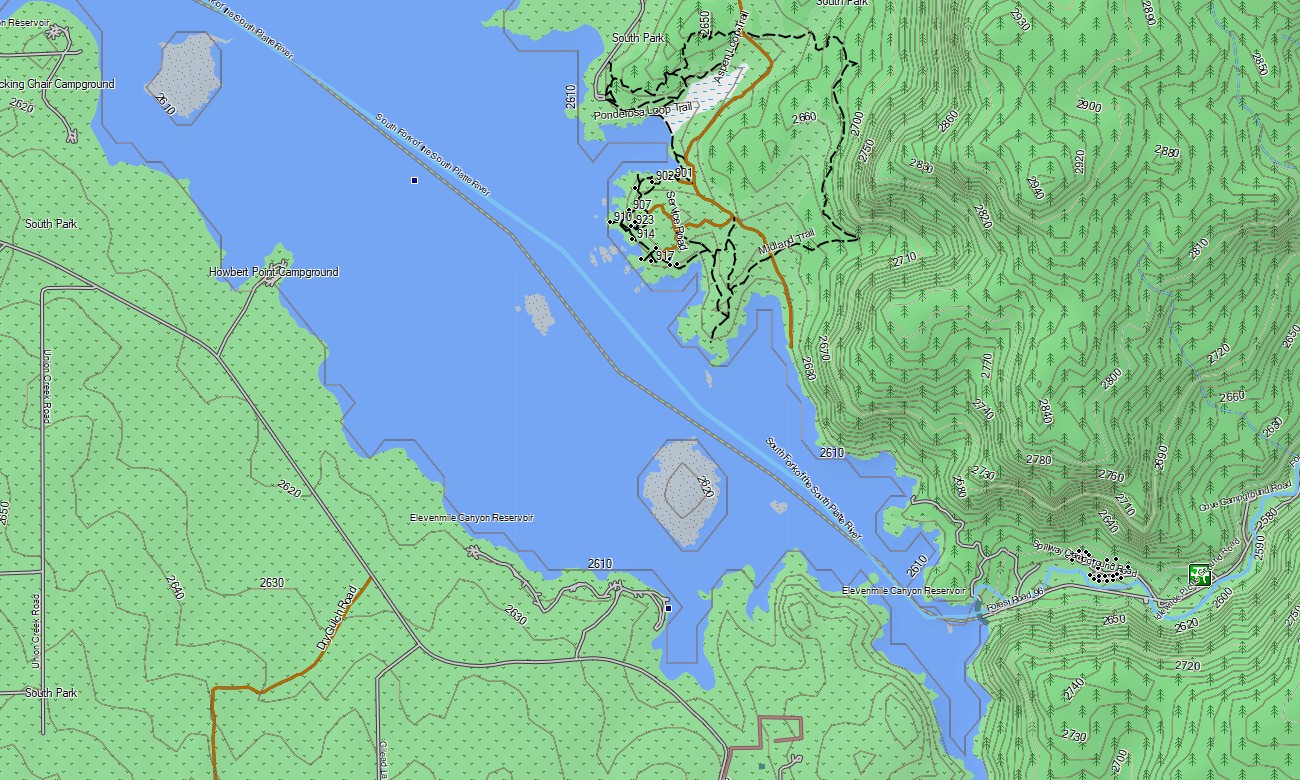
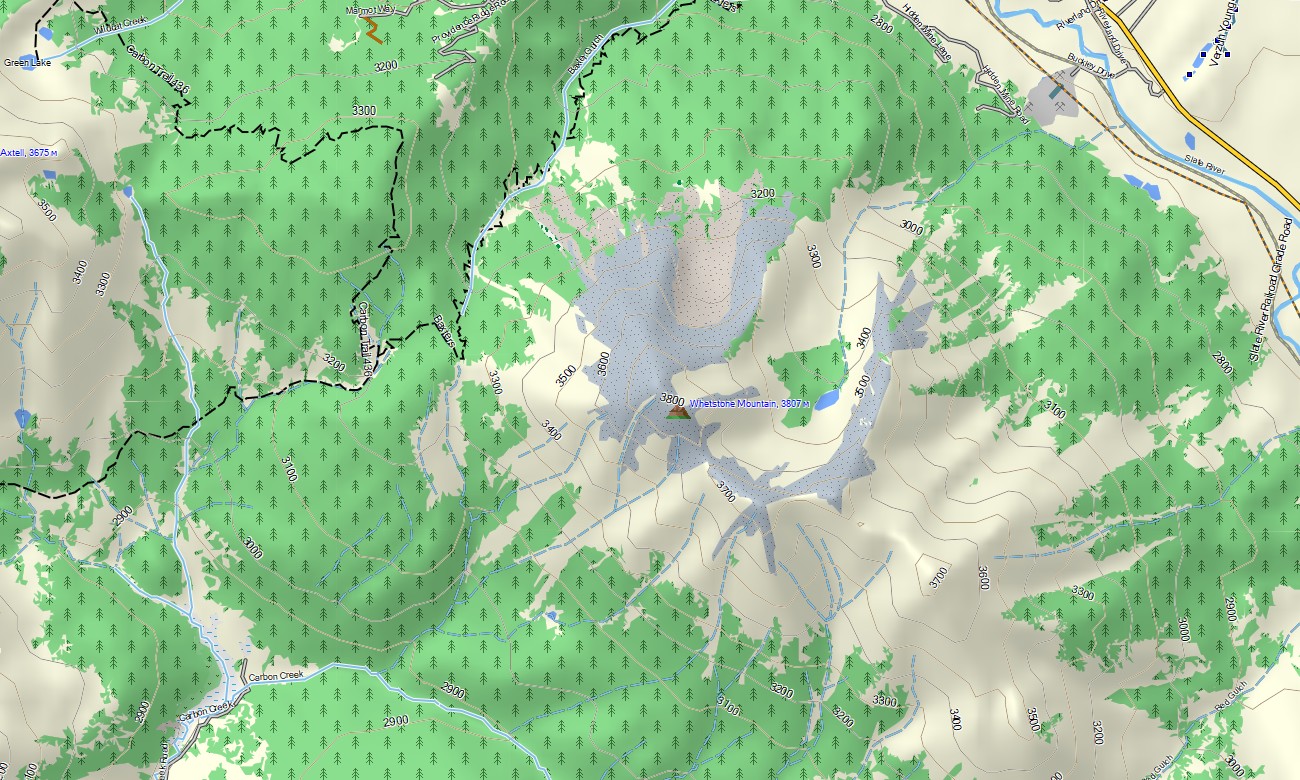
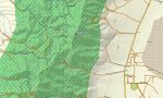
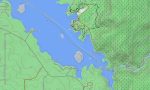
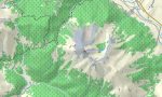
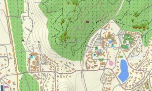
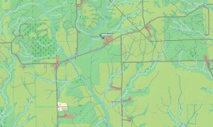
This Garmin GPS map functions as a detailed OSM topo map, combining interstates, scenic byways, state highways, forest roads, desert tracks, hiking trails, rivers, lakes, reservoirs, coastlines, canyons, washes, and elevation contours. The Colorado Plateau, Sierra Nevada, Rocky Mountains, Sonoran Desert, Mojave Desert, Pacific coastline, red-rock formations, and volcanic fields are clearly shown. These OSM topographic maps help users plan safe routes through rugged and often isolated terrain.
Featuring routing support, these maps for Garmin navigator devices provide turn-by-turn guidance on compatible models. Whether navigating Los Angeles, San Francisco, Las Vegas, Phoenix, Denver, Salt Lake City, Albuquerque, mountain passes, or desert roads, this Garmin map delivers dependable offline navigation for road trips and outdoor travel.
Created from open street maps Garmin compatible sources and maintained as part of our Garmin OSM maps, the product includes road, trail, city, POI, and terrain layers. After purchase, you receive an instant link to download Garmin map files for fast installation on compatible handheld GPS units, automotive navigators, and selected map for Garmin watch models.
Key Features:
- Topographic maps for Garmin covering the USA Southwest with highways, roads, trails, desert tracks, rivers, lakes, coastline, canyons, washes, and elevation contours
- Natural features include the Grand Canyon, Colorado Rockies, Sierra Nevada, Mojave Desert, Sonoran Desert, Colorado Plateau, Pacific Coast, alpine forests, and volcanic fields
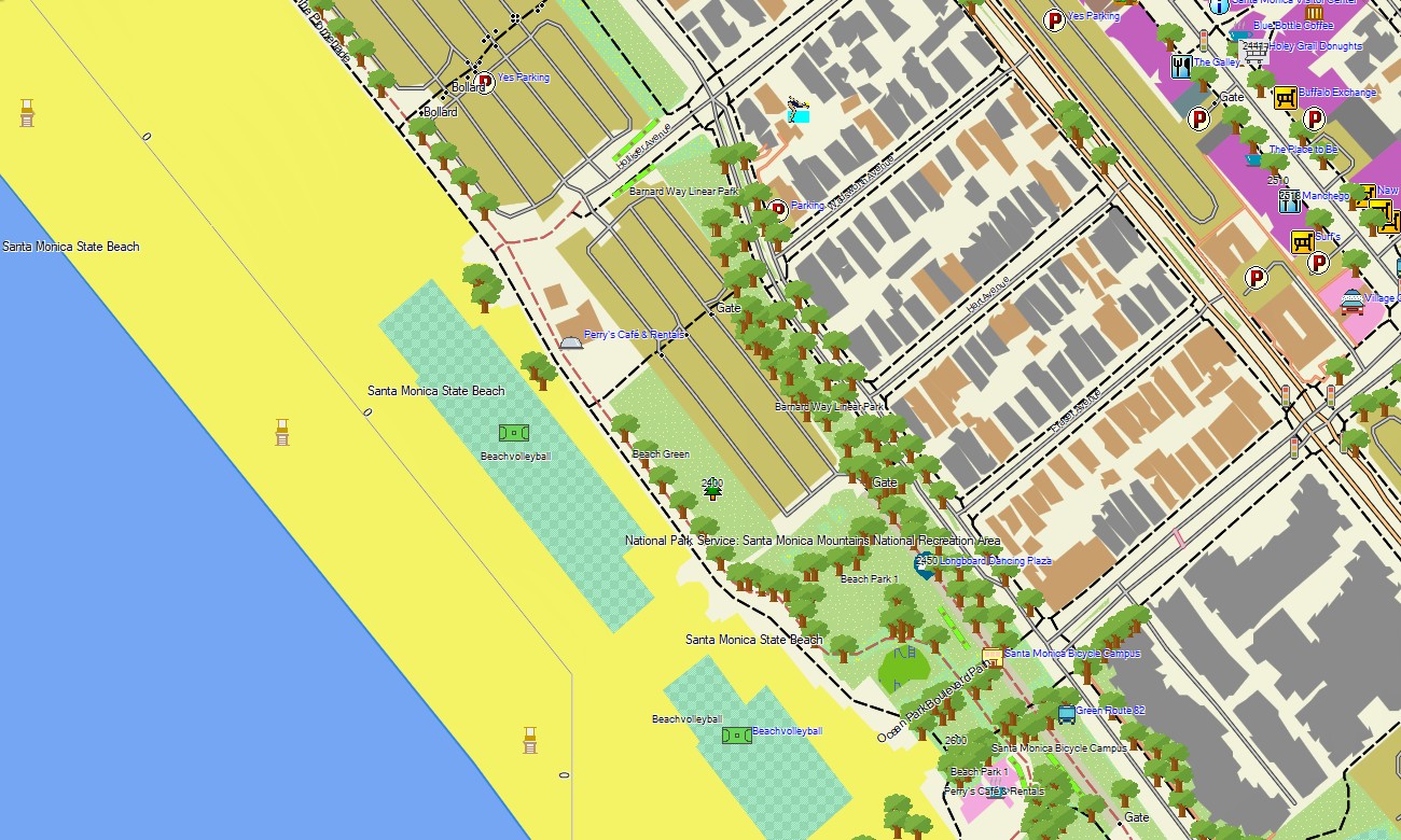
- Complete road coverage for interstates, scenic byways, state highways, forest roads, rural routes, urban streets, and national park access roads
- Points of interest: trailheads, campgrounds, viewpoints, monuments, ski resorts, hot springs, missions, historic towns, dams, marinas, and border crossings
- Routing support for driving, touring, and long-distance navigation on compatible Garmin devices
- Compatible with handheld GPS units, automotive navigators, and selected map for Garmin watch devices
Only logged in customers who have purchased this product may leave a review.

Reviews
There are no reviews yet.