
Virginia Garmin topographic map
$25
Virginia topo map for Garmin
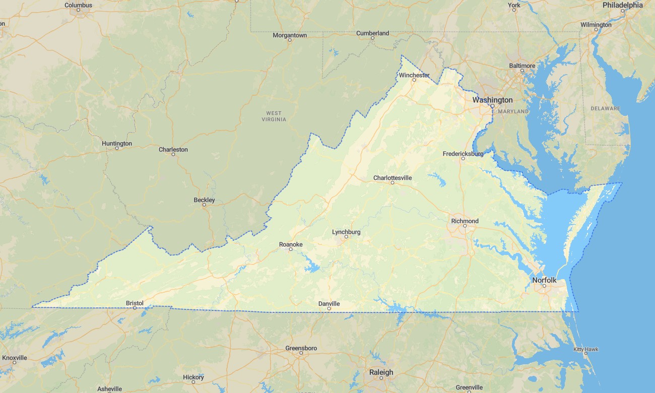
Explore Virginia’s Blue Ridge Mountains, Chesapeake Bay shores, Shenandoah Valley, coastal plains, Piedmont hills, historic cities, forests, and river corridors with detailed Garmin maps. This Garmin GPS map covers Richmond, Virginia Beach, Norfolk, Alexandria, Roanoke, Charlottesville, Williamsburg, Shenandoah region, Appalachian highlands, and tidewater communities.
Built as a versatile OSM map tourist Garmin solution, it supports hiking, beach travel, cycling, camping, fishing access, history-focused trips, and city navigation. These outdoor maps Garmin users depend on operate offline, giving the Garmin map reliable value from mountain overlooks to bay wetlands and dense urban streets.
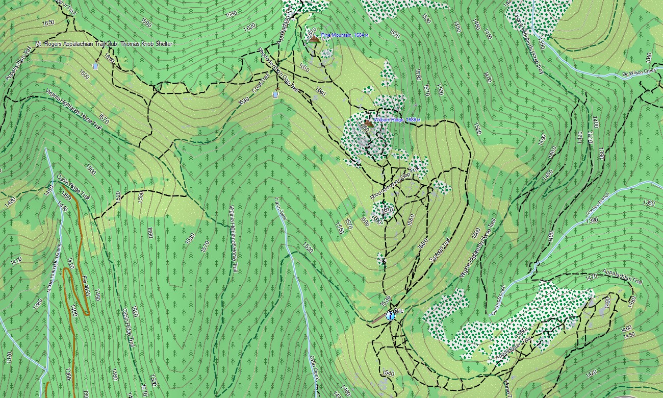
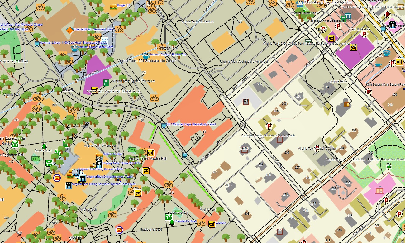
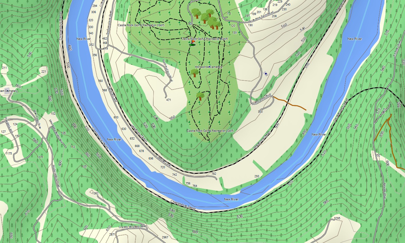
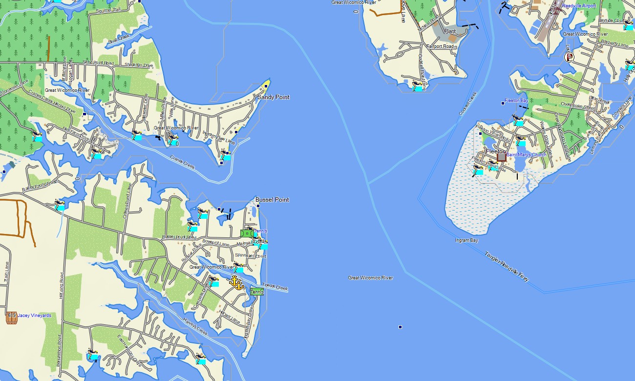
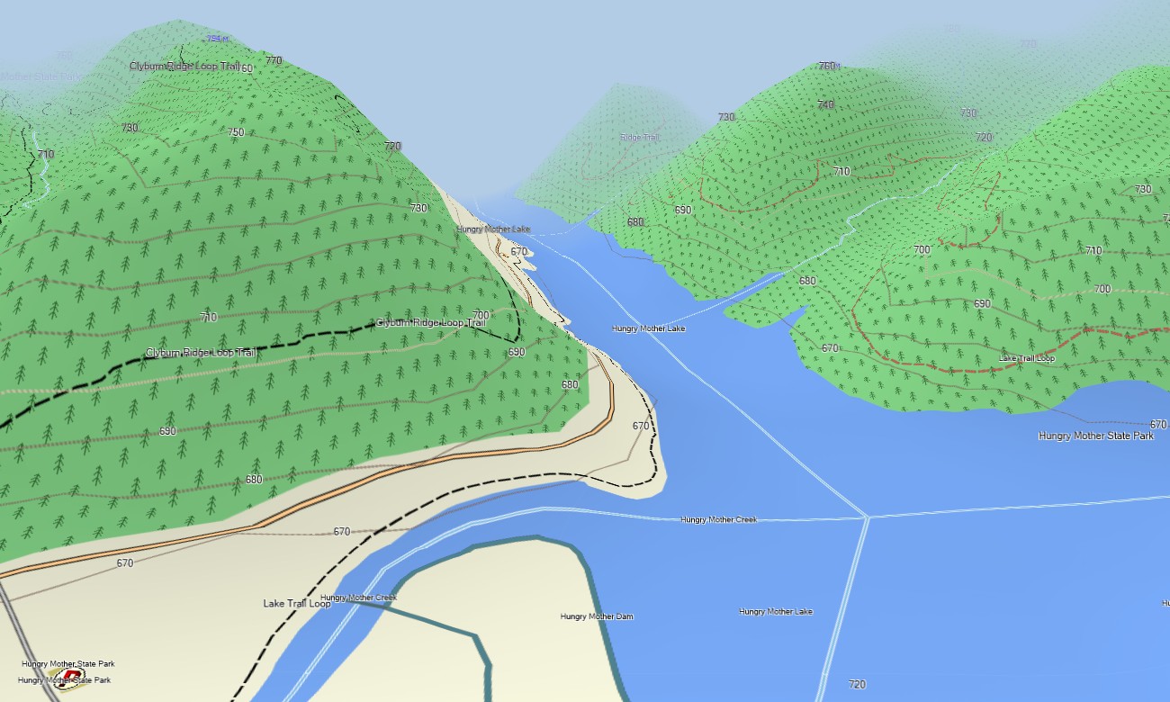
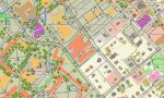
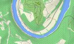
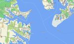
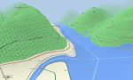
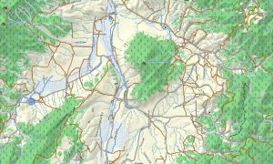
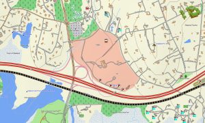
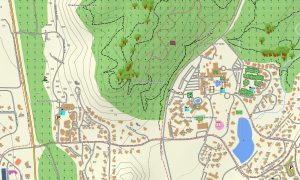
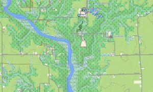
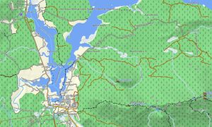
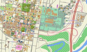
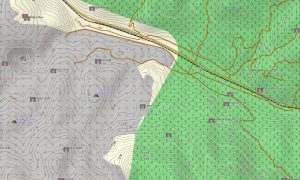
This Garmin GPS map serves as an OSM topo map, showing city streets, local roads, park routes, rural lanes, trails, rivers, reservoirs, coastlines, wetlands, ridges, valleys, beaches, and elevation contours. Created from open street maps Garmin compatible data, these OSM topographic maps help travelers understand Virginia’s full transition from Atlantic lowlands to Appalachian relief.
Maps for Garmin navigator devices support routing through metropolitan areas, colonial towns, mountain communities, park approaches, and coastal regions where compatible. Whether navigating Richmond, exploring Skyline Drive surroundings, visiting historic battlefields, or traveling near Chesapeake Bay, this Garmin map delivers steady offline direction.
The product combines road networks, detailed street plans, topographic elevation contours, water features, coastline detail, recreation paths, and historical landmarks. After purchase, use the download Garmin map link for installation. Garmin OSM maps are practical for handheld GPS units, automotive receivers, outdoor devices, and selected units accepting a map for Garmin watch.
Key Features:
- Topographic maps for Garmin covering Virginia with roads, trails, rivers, reservoirs, coastlines, wetlands, and elevation contours
- Natural features such as Blue Ridge mountains, Shenandoah Valley, Chesapeake Bay, beaches, forests, rivers, and plains
- Road coverage including city streets, state roads, county routes, park roads, coastal access roads, and rural lanes
- Points of interest: battlefields, colonial sites, trailheads, harbors, campgrounds, viewpoints, museums, monuments
- Routing support for city, coastal, and mountain navigation on compatible Garmin devices
- Compatible with handheld GPS units, automotive navigators, and selected Garmin watch models
Only logged in customers who have purchased this product may leave a review.
Reviews
There are no reviews yet.