


Xinjiang Garmin topographic map
$29
Xinjiang topo map for Garmin
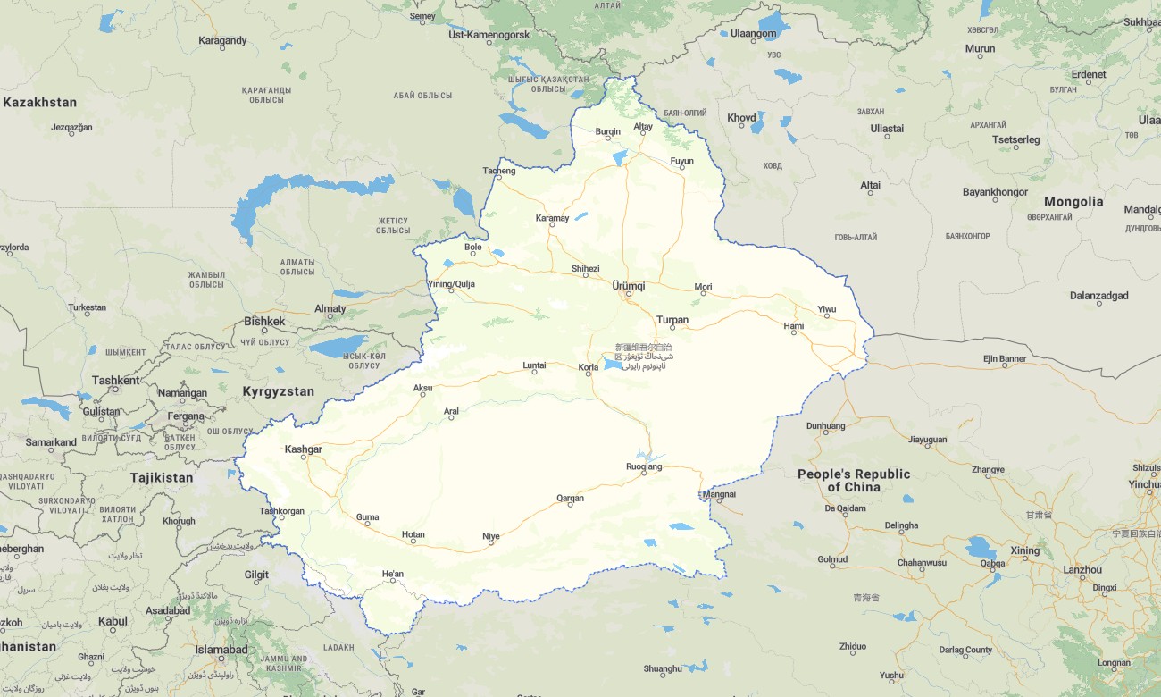
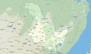
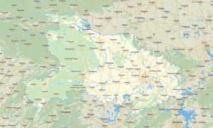
Navigate Xinjiang’s immense deserts, high mountain ranges, Silk Road cities, border highways, grasslands, lakes, oases, and remote valleys with detailed Garmin maps prepared for offline travel. This Garmin GPS map covers Urumqi, Kashgar, Turpan, Hotan, Korla, Aksu, Karamay, Yining, Altay, Hami, the Taklamakan Desert, Tian Shan, Pamir routes, and northern steppe regions.
Created as a rugged OSM map tourist Garmin resource, the map supports overland expeditions, long-distance driving, cycling, hiking, cultural journeys, desert-edge travel, and mountain route planning. These outdoor maps Garmin adventurers depend on include highways, rural roads, desert tracks, mountain passes, rivers, lakes, villages, border towns, viewpoints, and essential travel services.
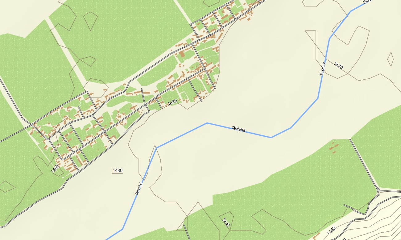
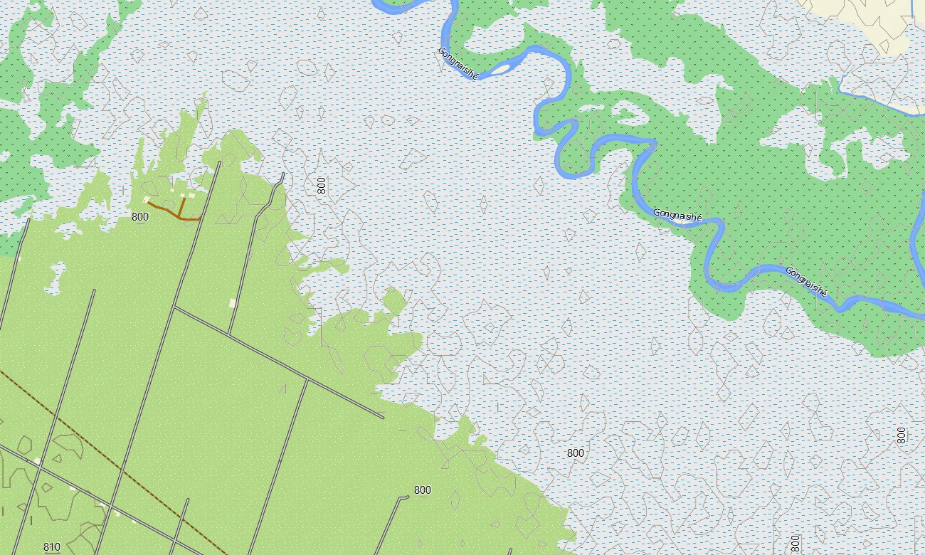
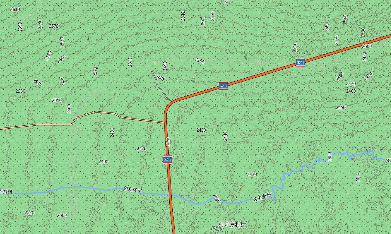
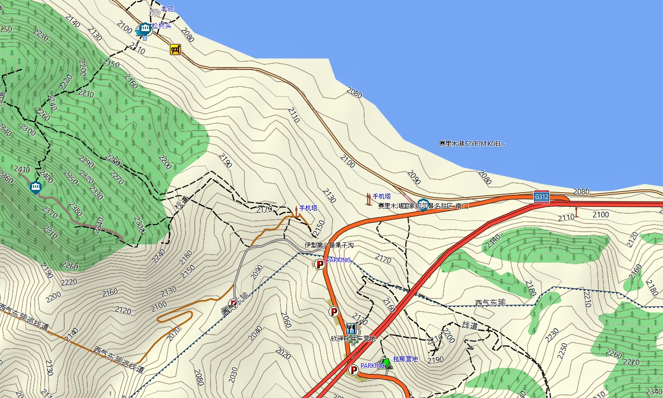
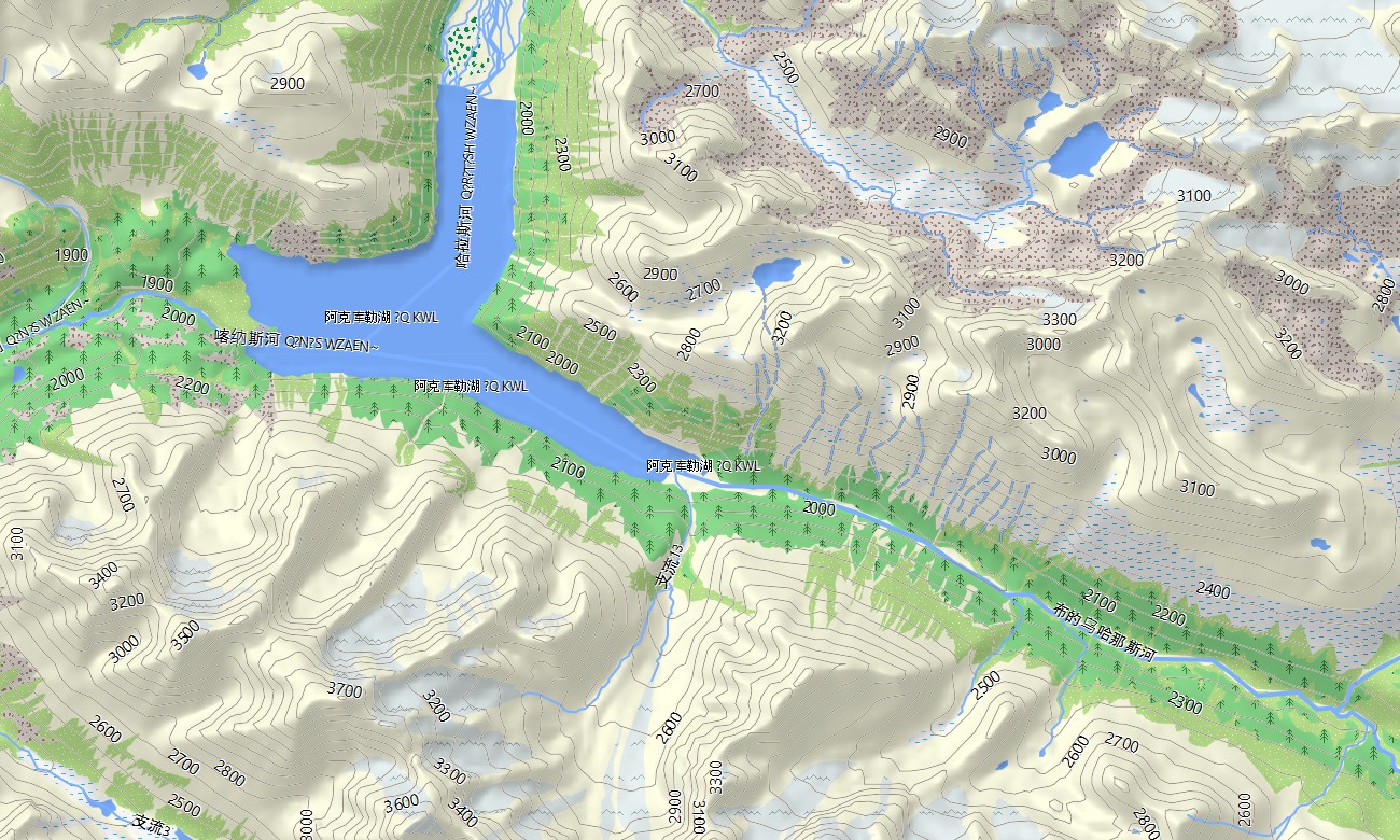
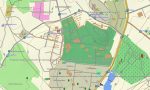
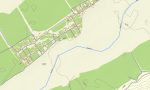
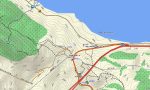
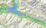
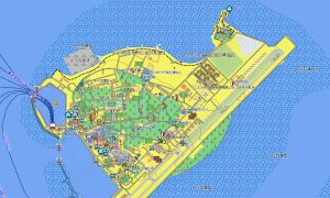
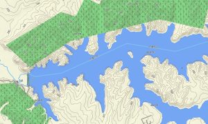
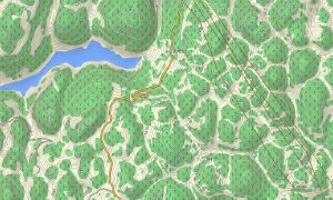
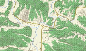
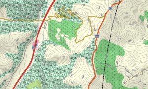
This Garmin GPS map functions as a powerful OSM topo map with elevation contours, sand basins, alpine ridges, glacier valleys, river corridors, oases, steppe landscapes, canyons, and settlement details. The Garmin map is especially valuable around Tian Shan, Karakoram Highway approaches, Pamir Plateau routes, Kanas Lake, Sayram Lake, Turpan Basin, and Taklamakan Desert margins.
Based on open street maps Garmin compatible information, the product provides practical coverage for cities, oasis towns, long highways, mountain valleys, border regions, and sparsely populated landscapes. Users can download Garmin map files before departure and install them on compatible devices for areas where mobile coverage can be limited for long distances.
Regular Garmin OSM maps updates help improve available road data, scenic access, rural tracks, service points, attractions, and route references. Maps for Garmin navigator devices support desert highways, mountain-pass journeys, city navigation, border-region travel, and routes between bazaars, lakes, ruins, villages, ski areas, viewpoints, and nature reserves.
A map for Garmin watch helps hikers, runners, cyclists, and outdoor travelers follow routes on mountain trails, oasis paths, lake roads, city streets, and desert-edge tracks. These OSM topographic maps and topographic maps for Garmin provide essential offline orientation across Xinjiang’s vast and demanding terrain.
Key Features:
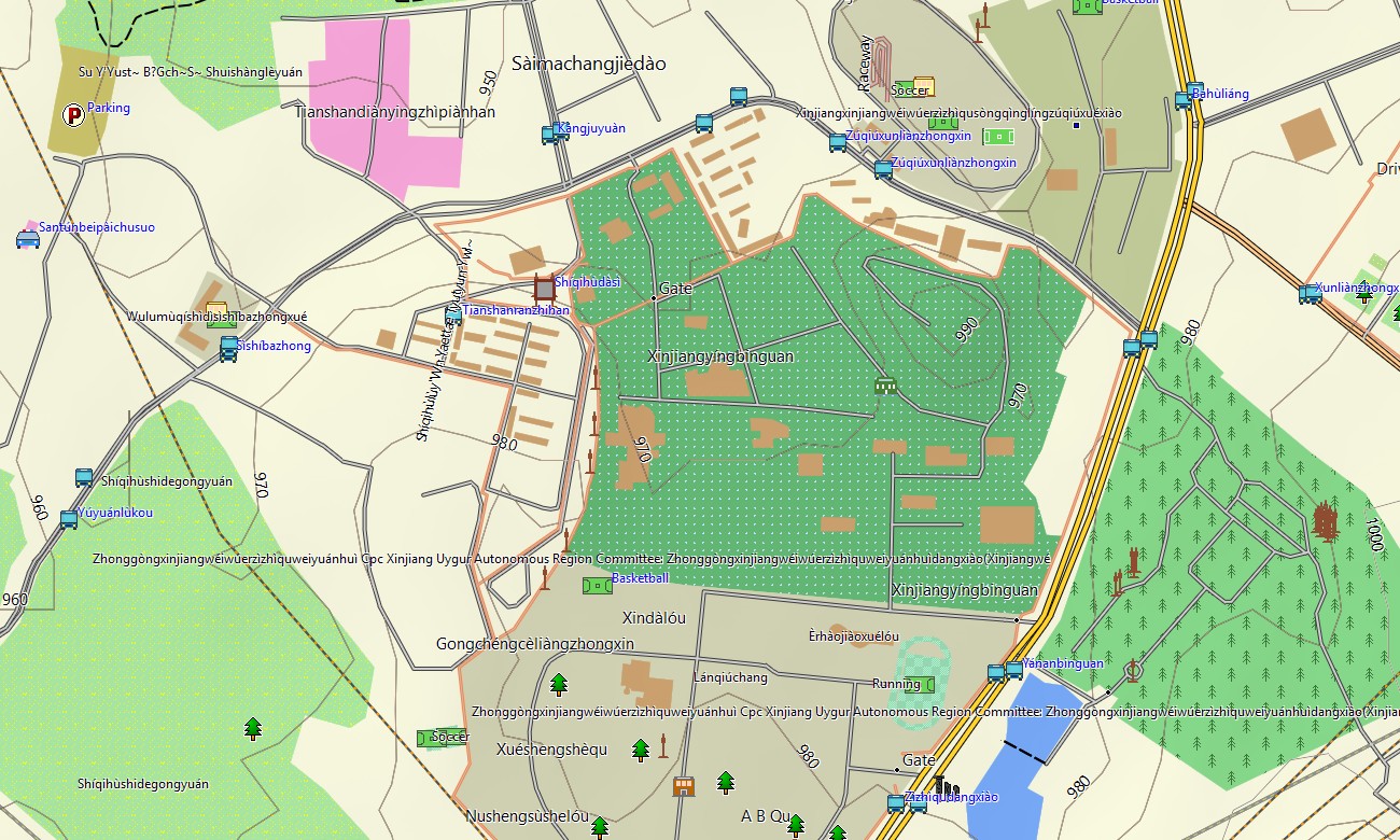
- Topographic maps for Garmin covering Xinjiang include national highways, city streets, rural roads, desert tracks, mountain routes, rivers, lakes, oases, grasslands, villages, border towns, and elevation contours
- Natural features include the Tian Shan, Altai Mountains, Pamir Plateau, Taklamakan Desert, Turpan Basin, Kanas Lake, Sayram Lake, Ili Valley, glaciers, canyons, oases, and steppe landscapes
- Road coverage includes long-distance highways, provincial roads, urban streets, mountain passes, desert access roads, village lanes, bridge routes, tunnel sections, scenic drives, and border-region corridors
- Points of interest include bazaars, ancient ruins, mosques, museums, viewpoints, lakeside areas, ski resorts, campsites, railway stations, hotels, desert parks, old towns, and cultural landmarks
- Routing support helps compatible maps for Garmin navigator devices calculate routes through Urumqi, Kashgar, Turpan, Ili Valley, Altay, desert corridors, oasis towns, and remote mountain regions
- The map is presented in two versions: with labels in Latin characters and with labels in Chinese characters
- Full compatibility is available for handheld GPS units, automotive Garmin devices, outdoor navigators, cycling computers, and selected devices using a map for Garmin watch with OSM topographic maps
Only logged in customers who have purchased this product may leave a review.



Reviews
There are no reviews yet.