

Zimbabwe Garmin topographic map
$29
Zimbabwe topo map for Garmin
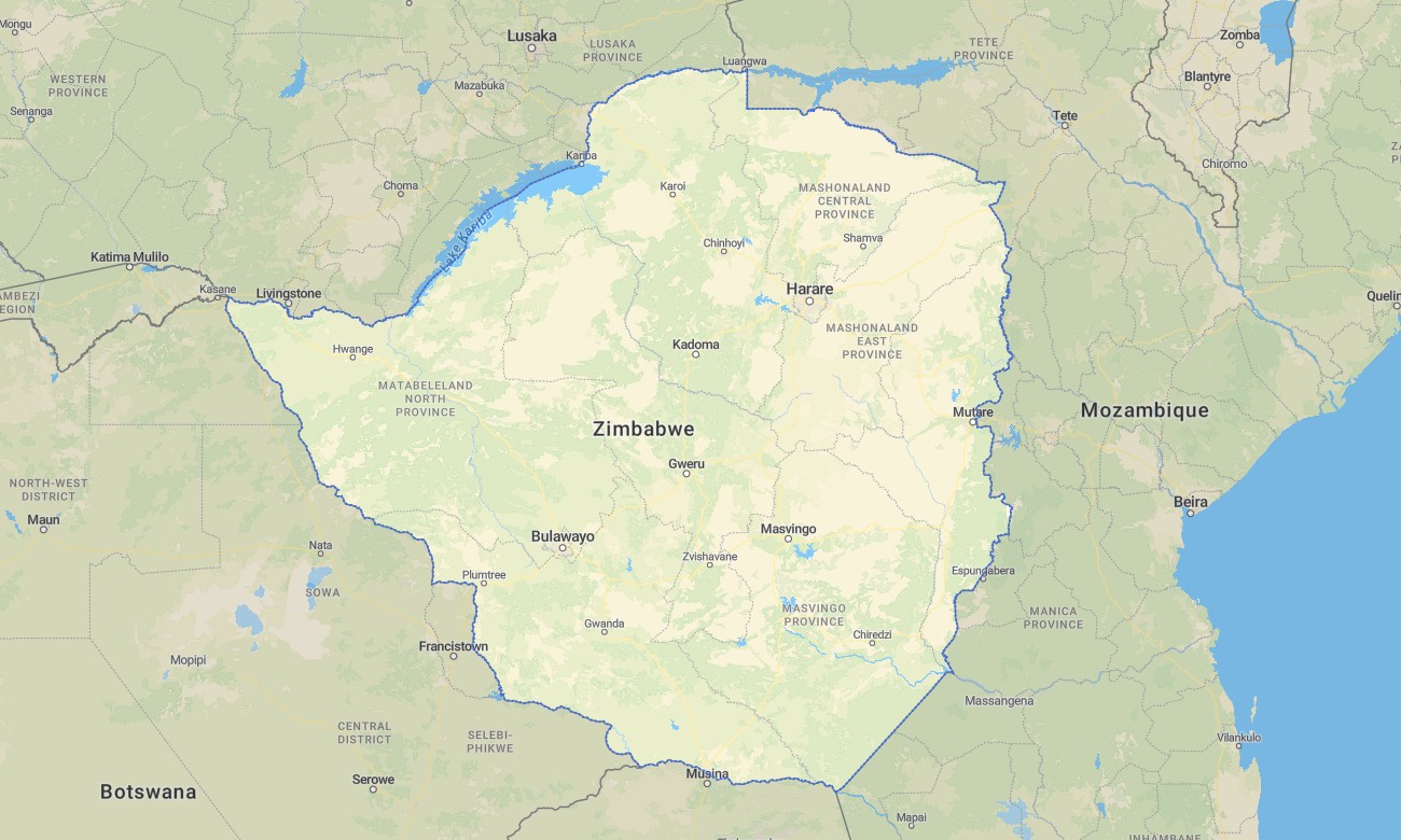
Explore the legendary landscapes of Zimbabwe with this detailed topographic Garmin map, designed for navigation from the Eastern Highlands to Hwange. This extensive Garmin GPS map covers the country, from Victoria Falls and the Zambezi through the Great Dyke and central watershed to the Limpopo valley, offering dependable guidance for safari and cultural exploration.
Ideal for wildlife viewing tours and visits to historical ruins, this OSM map tourist Garmin solution blends OpenStreetMap data with enhanced terrain detail for Harare, the road network to major attractions, and rural routes. These outdoor maps Garmin users depend on work completely offline. Instant download with regular free updates included ensures your Garmin map is prepared for any Zimbabwean journey.
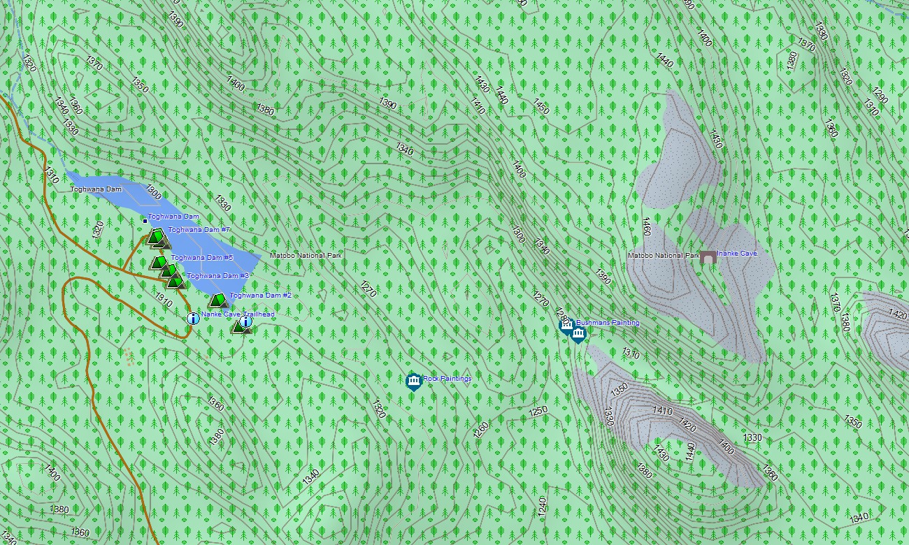
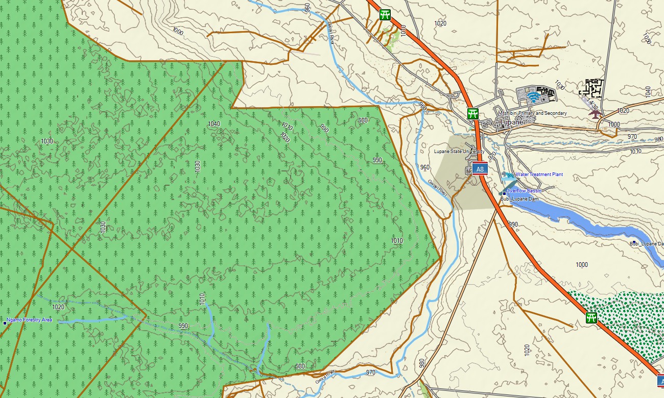
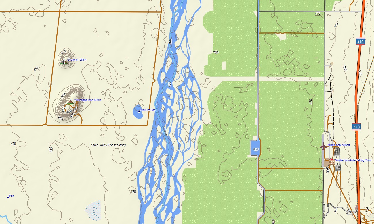
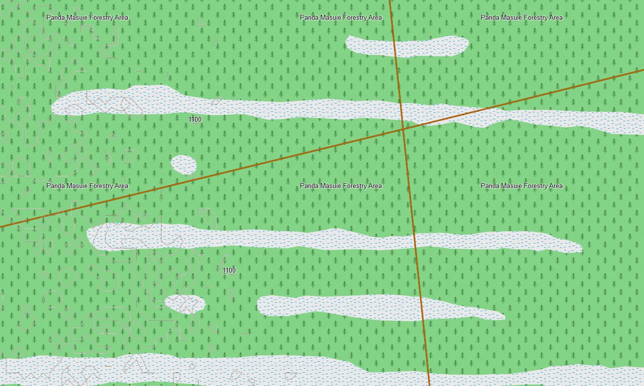
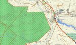
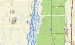
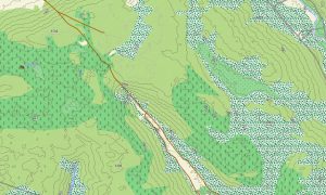
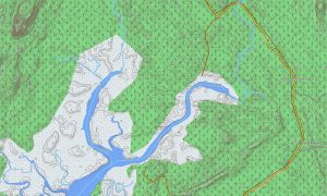
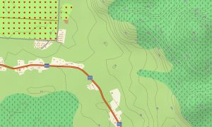
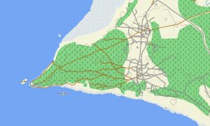
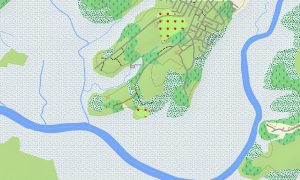
This Garmin GPS map serves as a comprehensive OSM topo map, showing highways, regional roads, park roads, trails, the Zambezi and Limpopo rivers, Lake Kariba, and elevation contours. Natural features such as Victoria Falls, the Zambezi River, the Eastern Highlands, the Great Dyke geological feature, and major national parks are clearly rendered. The detail in these topographic maps for Garmin is vital for discovering Zimbabwe’s rich natural and historical heritage.
With built-in routing, these maps for Garmin navigator devices enable efficient route planning and turn-by-turn navigation on your GPS. Whether driving to Matobo National Park, navigating the Harare-Bulawayo highway, or traveling to Mana Pools, this Garmin map provides reliable guidance without internet access.
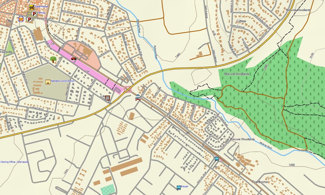
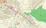
The map includes multiple layers: complete road coverage for national travel, detailed street maps for cities and towns, and rich topographic data for parks and highlands. After purchase, you receive an instant download link; installation takes minutes, and regular updates keep your Garmin map accurate.
Key Features:
- Topographic maps for Garmin covering Zimbabwe with roads, highways, park roads, trails, the Zambezi and Limpopo rivers, Lake Kariba, other water bodies, and elevation contours
- Natural features including Victoria Falls, the Zambezi River, Lake Kariba, the Eastern Highlands, the Great Dyke, and savanna woodland regions
- Complete road coverage of main highways (A, B roads), urban streets, and park road networks
- Points of interest: urban infrastructure, airports, historical and archaeological sites including Great Zimbabwe, museums, markets, churches, universities, government buildings, hospitals, clinics, hotels, lodges, safari camps, national park offices, restaurants, fuel stations, banks, police stations, water towers, dams, viewpoints
- Routing support for driving and safari navigation on compatible devices
- Full compatibility with handheld GPS units, vehicle navigators, and as a map for Garmin watch models
- The map contains contours of heights
Only logged in customers who have purchased this product may leave a review.
Reviews
There are no reviews yet.