

Iraq Garmin topographic map
$29
Iraq topo map for Garmin
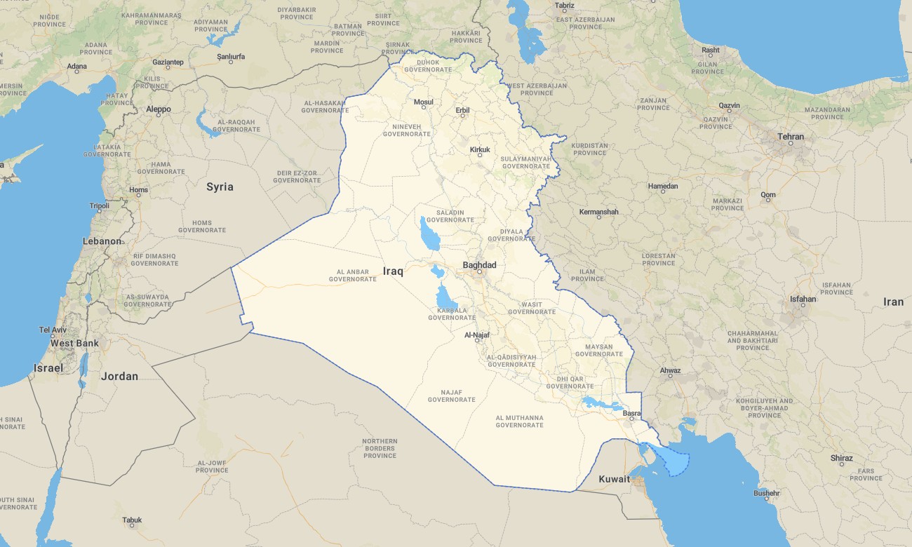
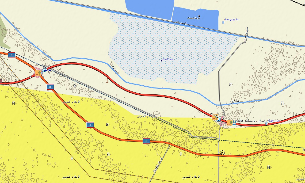
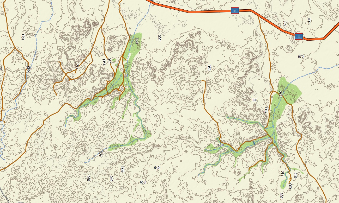
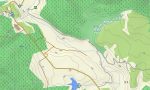
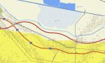
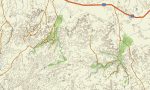
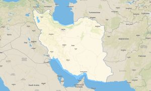
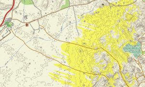
Navigate Iraq’s river plains, deserts, and mountain fringes with a focused topographic Garmin map created for both civil and field use. This Garmin GPS map covers Baghdad, Basra, Mosul, the Tigris–Euphrates system, and northern highlands, upgrading standard Garmin maps with realistic terrain and route detail.
Using OSM topographic maps, it highlights rivers, canals, and relief that strongly influence access. Designed as an OSM map tourist Garmin and professional resource, it supports heritage visits, humanitarian work, and logistics planning.
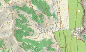
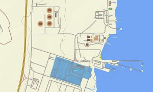
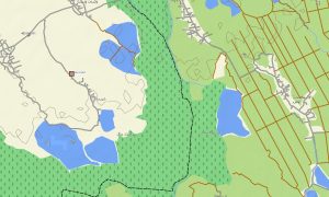
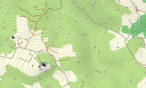
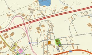
These outdoor maps Garmin users trust work fully offline, ensuring your Garmin map remains available in remote outposts, oil fields, and rural communities. A convenient download Garmin map link speeds installation on compatible devices. As an OSM topo map, it blends contour lines, wadis, levees, roads, tracks, and urban grids. Open street maps Garmin data adds updated city streets, industrial zones, and critical infrastructure, while OSM topographic maps show low hills and escarpments important for situational awareness.
Routing-enabled maps for Garmin navigator devices calculate paths along national corridors, border routes, and city approaches. Drivers can use a single Garmin GPS map for cross-country missions, resupply runs, and local navigation. Garmin OSM maps can also be installed as a map for Garmin watch on selected tactical and outdoor models. Users can follow routes, tracks, and terrain cues on the wrist during field patrols or surveys.
Layered cartography turns this Garmin map into a versatile planning and navigation tool, making topographic maps for Garmin valuable for NGOs, contractors, and independent travelers. Regularly refreshed Garmin maps keep new roads, bridges, and points of interest in step with evolving ground conditions.
Key Features:
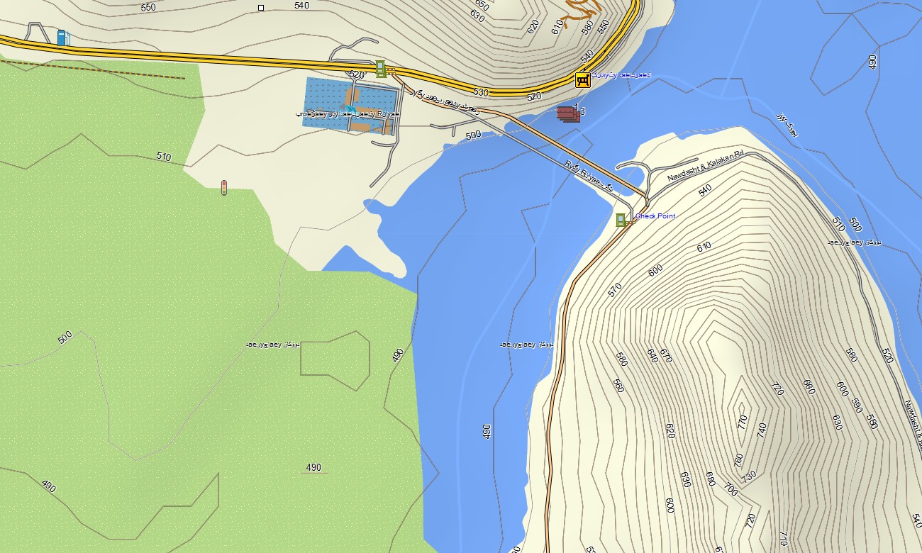
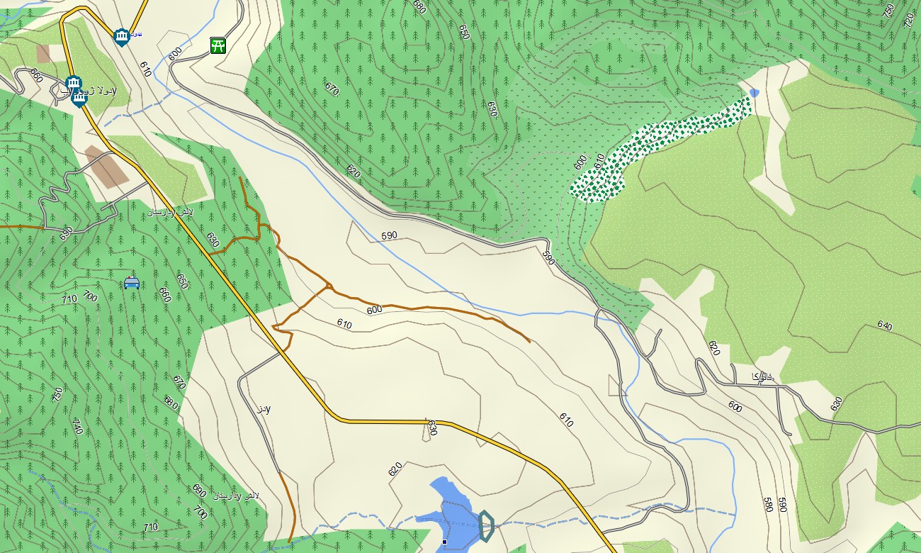
- Topographic maps for Garmin covering Iraq with highways, regional roads, city streets, desert tracks, levees, canals, rivers, and elevation contours
- Natural features such as river plains, marshlands, steppe, desert plateaus, low mountains, and wadis are clearly mapped on the OSM topographic maps
- OSM topo map information supports evaluation of access routes, flood-prone zones, and observation points
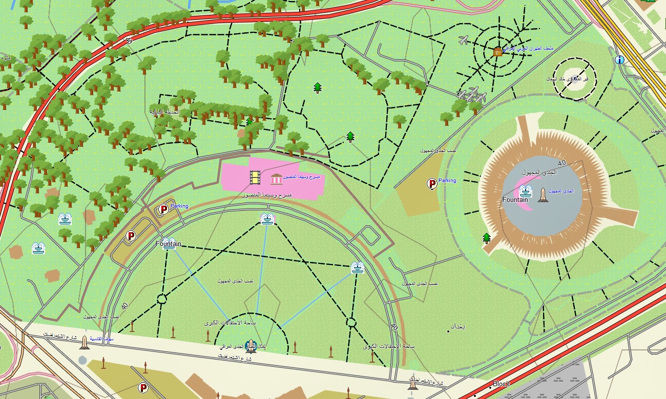
- Open street maps Garmin layers ensure detailed city coverage for Baghdad, Basra, Mosul, Erbil, and other urban centers
- Routing on maps for Garmin navigator units enables planning of long-distance supply routes, missions, and civilian journeys
- Outdoor maps Garmin packages allow users to download Garmin map tiles for specific regions to optimize storage
- Garmin OSM maps work on a wide range of handheld GPS receivers and can be used as a map for Garmin watch on compatible wearables
- The Garmin map, implemented as an OSM map tourist Garmin and field solution, makes the Garmin GPS map suitable for travel, logistics, and reconnaissance
Only logged in customers who have purchased this product may leave a review.
Reviews
There are no reviews yet.