

Tajikistan Garmin topographic map
$32
Tajikistan topo map for Garmin
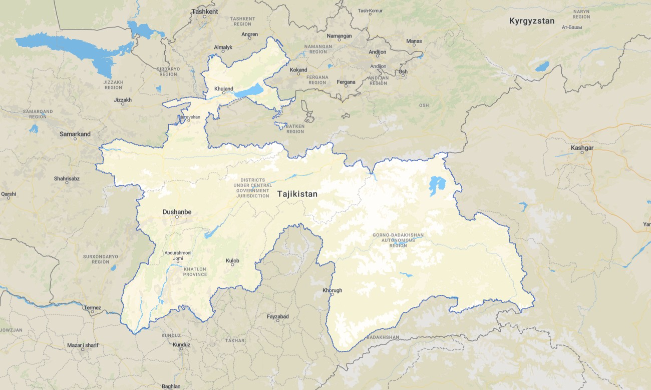
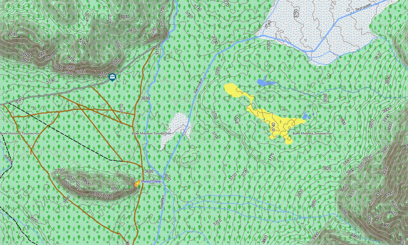
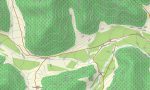
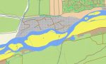
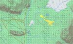
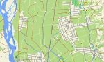
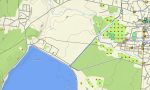
Explore Tajikistan’s towering Pamir and Alay ranges, deep valleys, and remote plateaus with a mountaineering-grade topographic Garmin map. This Garmin GPS map covers Dushanbe, the Pamir Highway, Gorno-Badakhshan, and northern mountain regions, extending basic Garmin maps with OSM topographic maps that highlight extreme relief and sparse road networks.
Developed as an OSM map tourist Garmin resource, it supports high-altitude overlanding, trekking, cycling expeditions, and fieldwork. These outdoor maps Garmin explorers rely on operate fully offline, so your Garmin map remains dependable in remote valleys, high passes, and border areas with no connectivity.
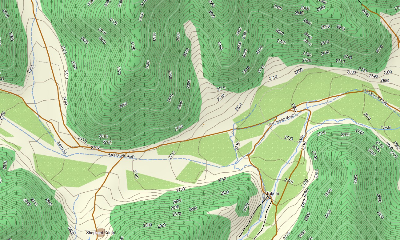
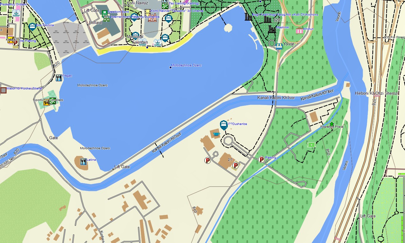
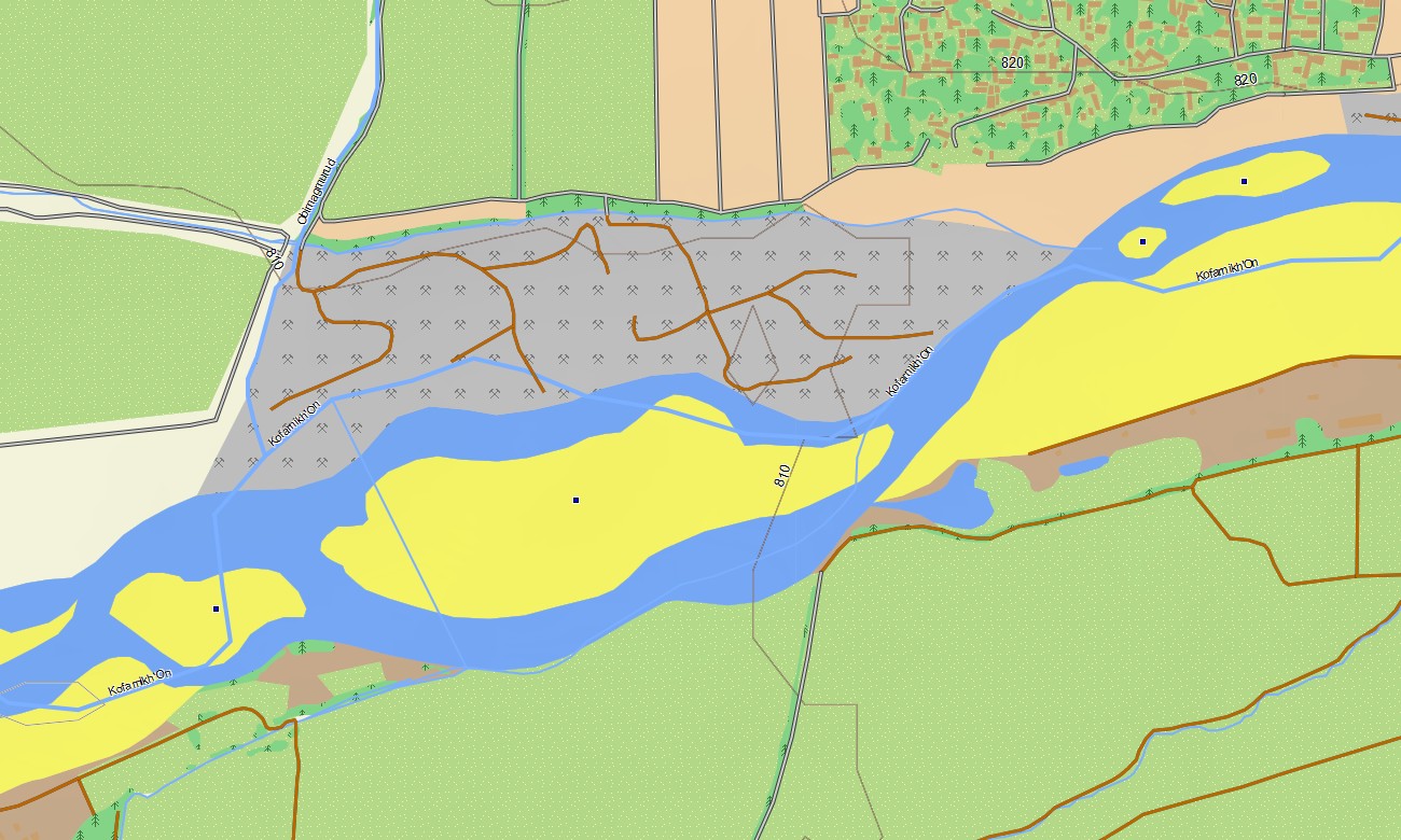
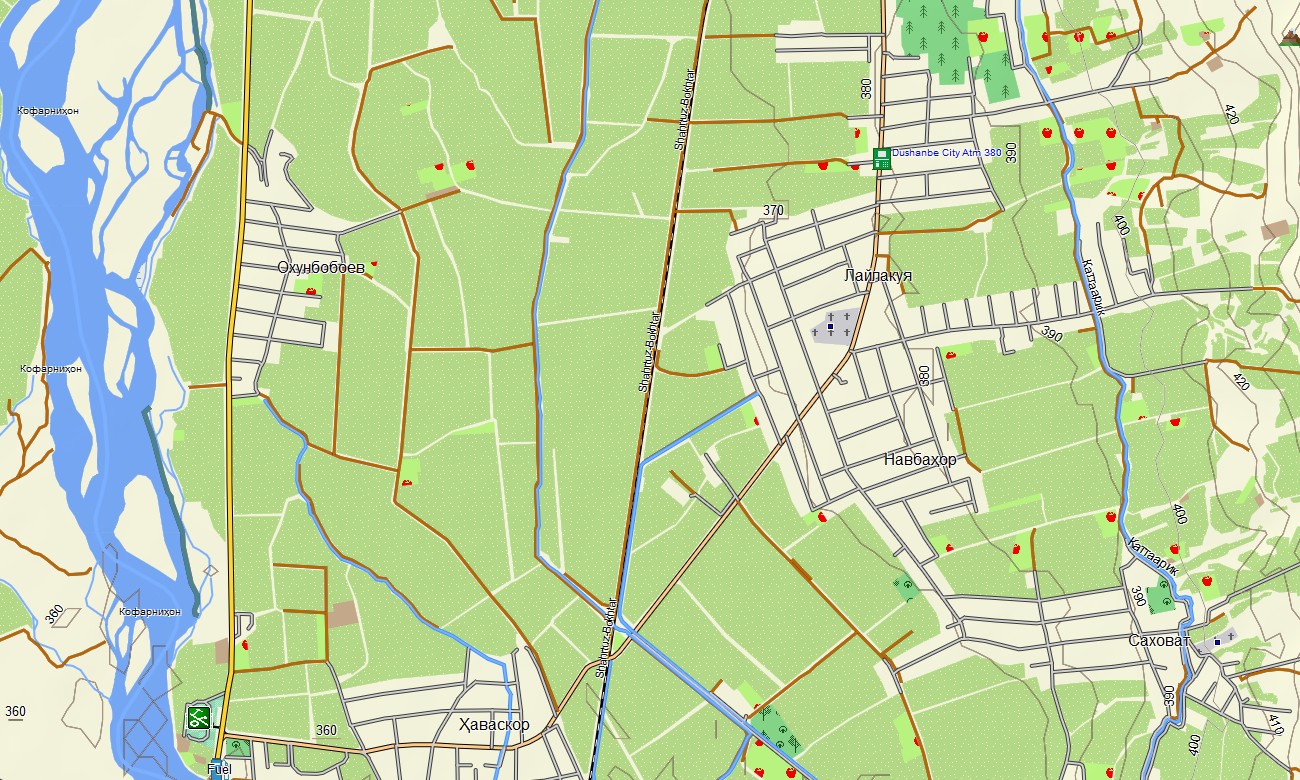
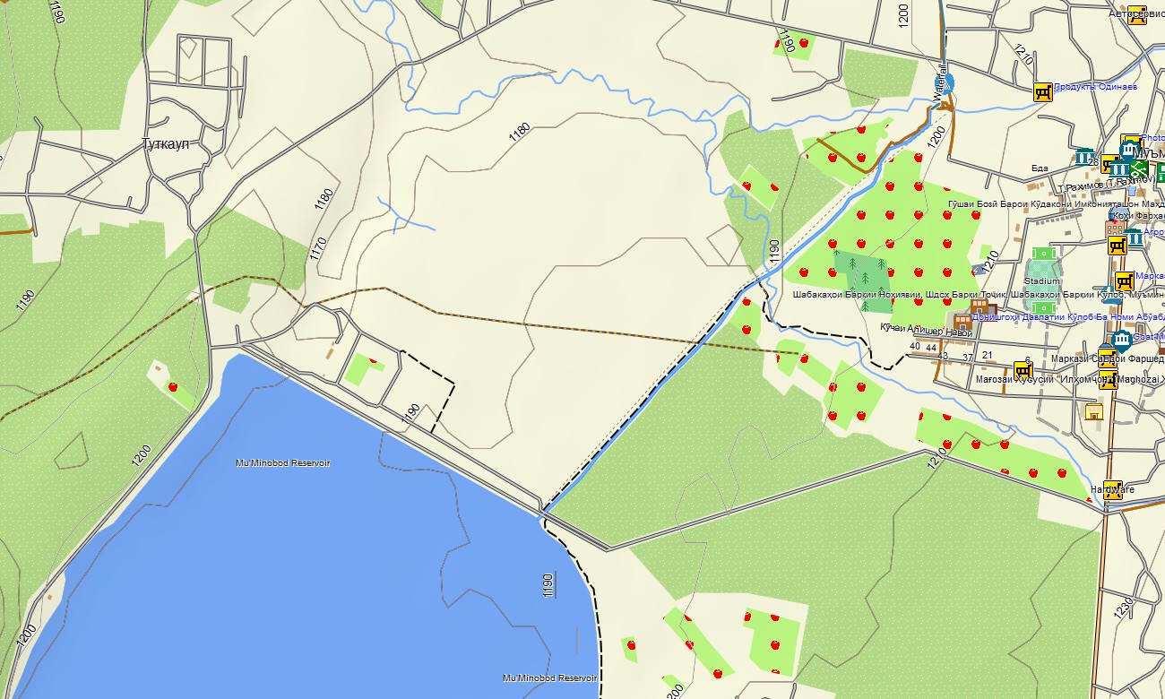
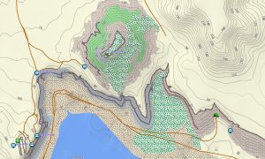
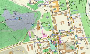
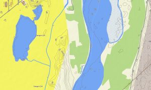
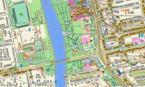
As a high-detail OSM topo map, it integrates close-spaced contour lines, ridge systems, glaciers, rivers, seasonal streams, jeep tracks, and pack-animal trails. Open street maps Garmin layers add town streets and improved road alignments, while OSM topographic maps provide essential information for assessing slope risk and altitude gain. Routing-capable maps for Garmin navigator devices assist with planning along highways and mapped secondary roads, especially on the Pamir Highway and connecting routes. Beyond routable sections, the Garmin GPS map continues to serve as an OSM topo map reference for manual navigation decisions.
Garmin OSM maps can be installed as a map for Garmin watch on compatible expedition and trail-running watches. Trekkers, cyclists, and guides can follow OSM topo map lines and contour patterns directly from the wrist under demanding conditions. Layered cartography combines relief, hydrology, tracks, and settlements into a single Garmin map, making topographic maps for Garmin indispensable for expedition planning, guiding, and scientific surveys in Tajikistan. Delivered as downloadable Garmin maps, the product is accessed via a download Garmin map link and updated periodically with new tracks and improved mapping coverage.
Key Features:
- Topographic maps for Garmin covering Tajikistan with main roads, Pamir Highway sections, jeep tracks, trekking routes, rivers, lakes, glaciers, and detailed elevation contours
- Natural features such as high Pamir plateaus, deep valleys, glaciated peaks, alpine lakes, and semi-desert basins are displayed on the OSM topographic maps
- OSM topo map data helps users evaluate ascent profiles, pass approaches, ridge alternatives, and potential camp sites
- Open street maps Garmin layers add town grids, access roads, and improvements to key corridors where mapped
- Routing on maps for Garmin navigator units supports planning along major roads and highways with offline guidance where data allows
- Outdoor maps Garmin users can download Garmin map subsets targeted to expedition zones to fit handheld device capacity
- Garmin OSM maps operate on handheld GPS units and can serve as a map for Garmin watch on selected expedition-ready models
- The Garmin map, relying on an OSM map tourist Garmin foundation, transforms the Garmin GPS map into a vital navigation and planning tool for high-mountain journeys in Tajikistan
- The map is presented in two versions: with labels in Latin characters and with labels in local language
Only logged in customers who have purchased this product may leave a review.
Reviews
There are no reviews yet.