
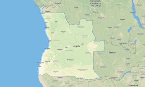
Algeria Garmin topographic map
$29
Algeria topo map for Garmin
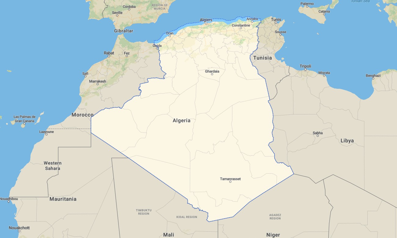
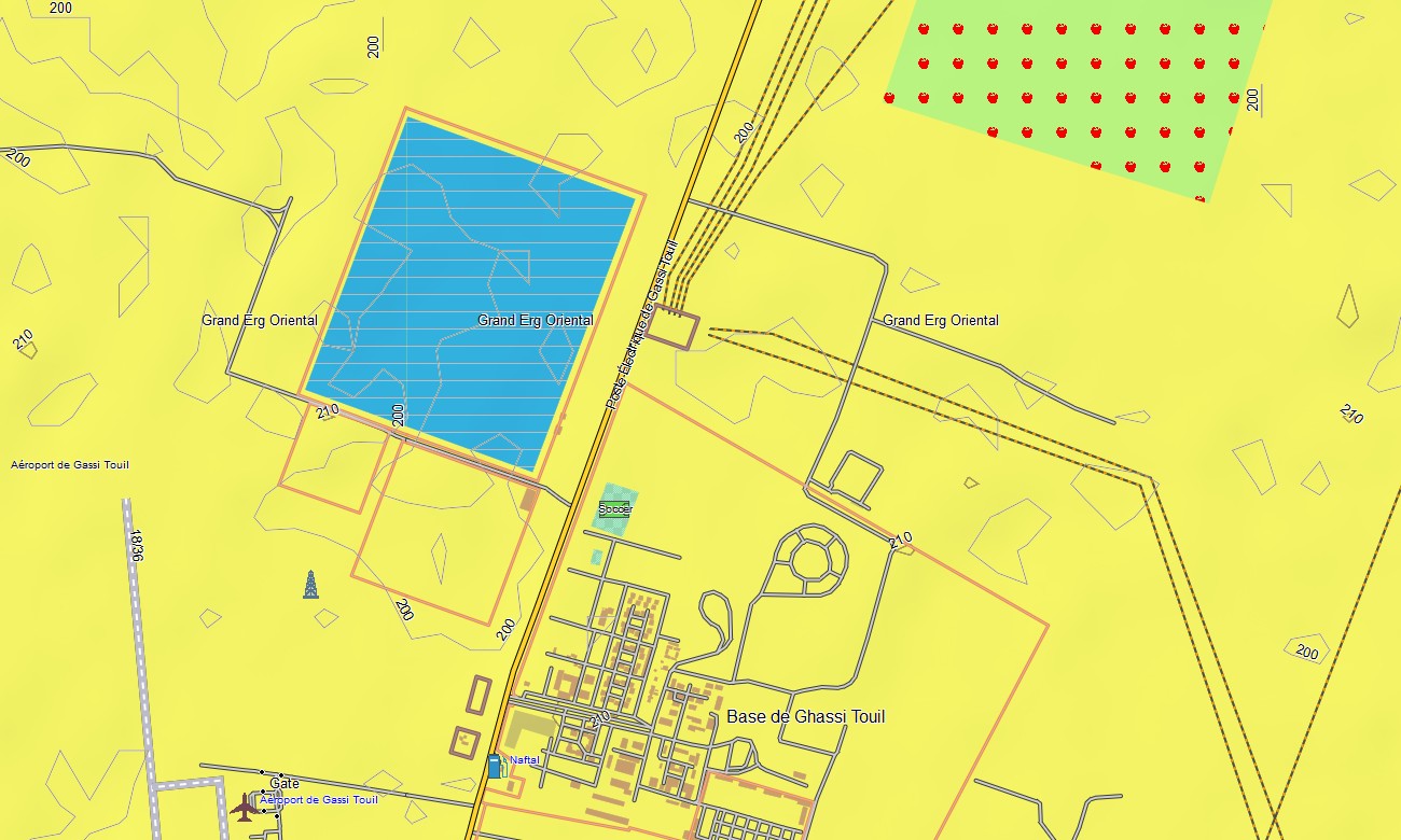
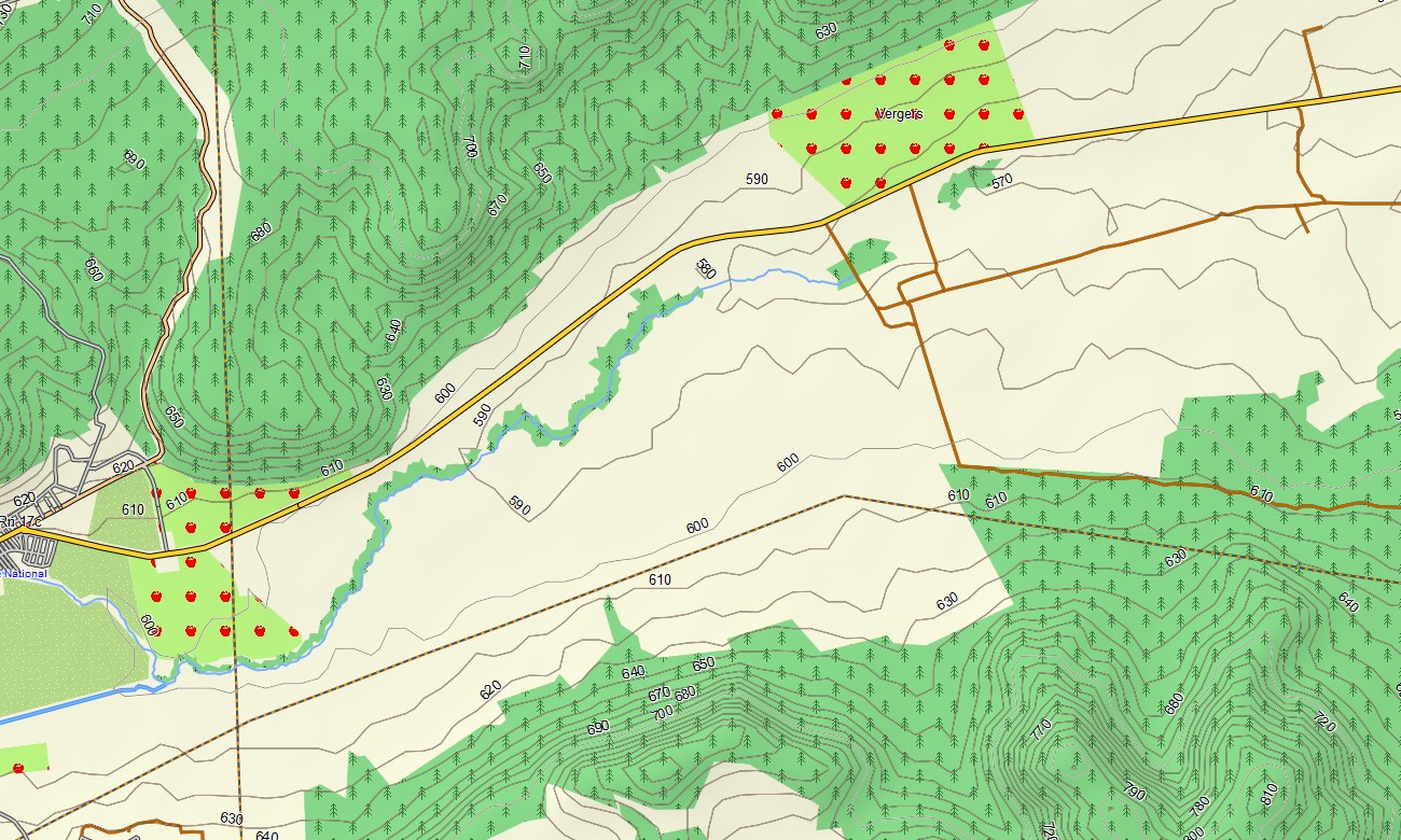
Discover Algeria’s hidden gems with Garmin gps maps, your ultimate companion for unforgettable journeys that reveals of the Mediterranean coastline, hiking trails, desert areas, oases, rivers, and lakes. From the bustling streets of Algiers to the tranquil beauty of the Sahara Desert, every feature is carefully mapped to enhance your travel experience.
Easily plan your upcoming adventures whether it’s driving, hiking or biking and follow them offline with full routing support. Delivered instantly and updated regularly, this map turns your Garmin device into a dependable guide across all regions of Algeria.
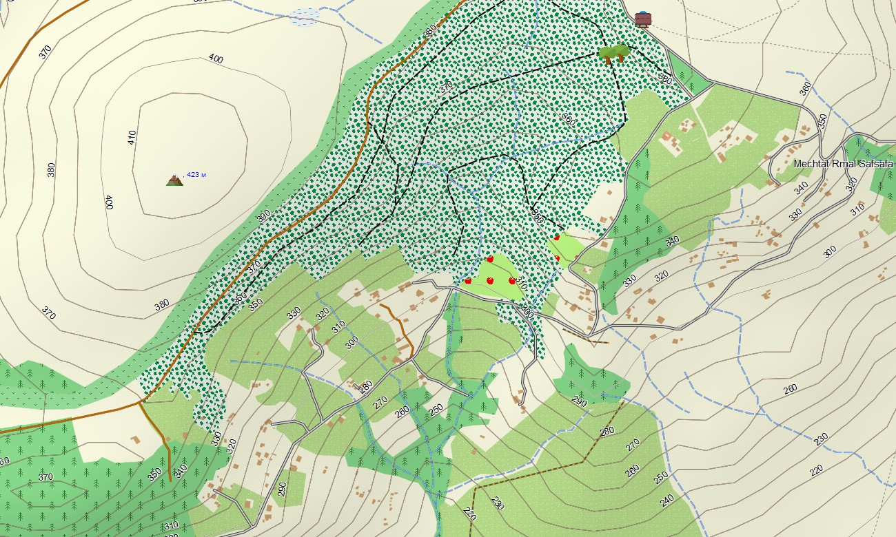
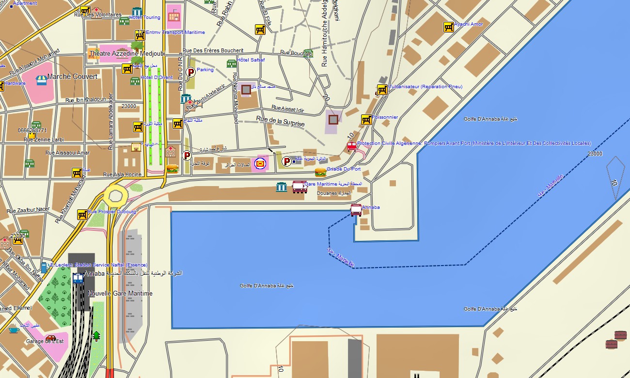
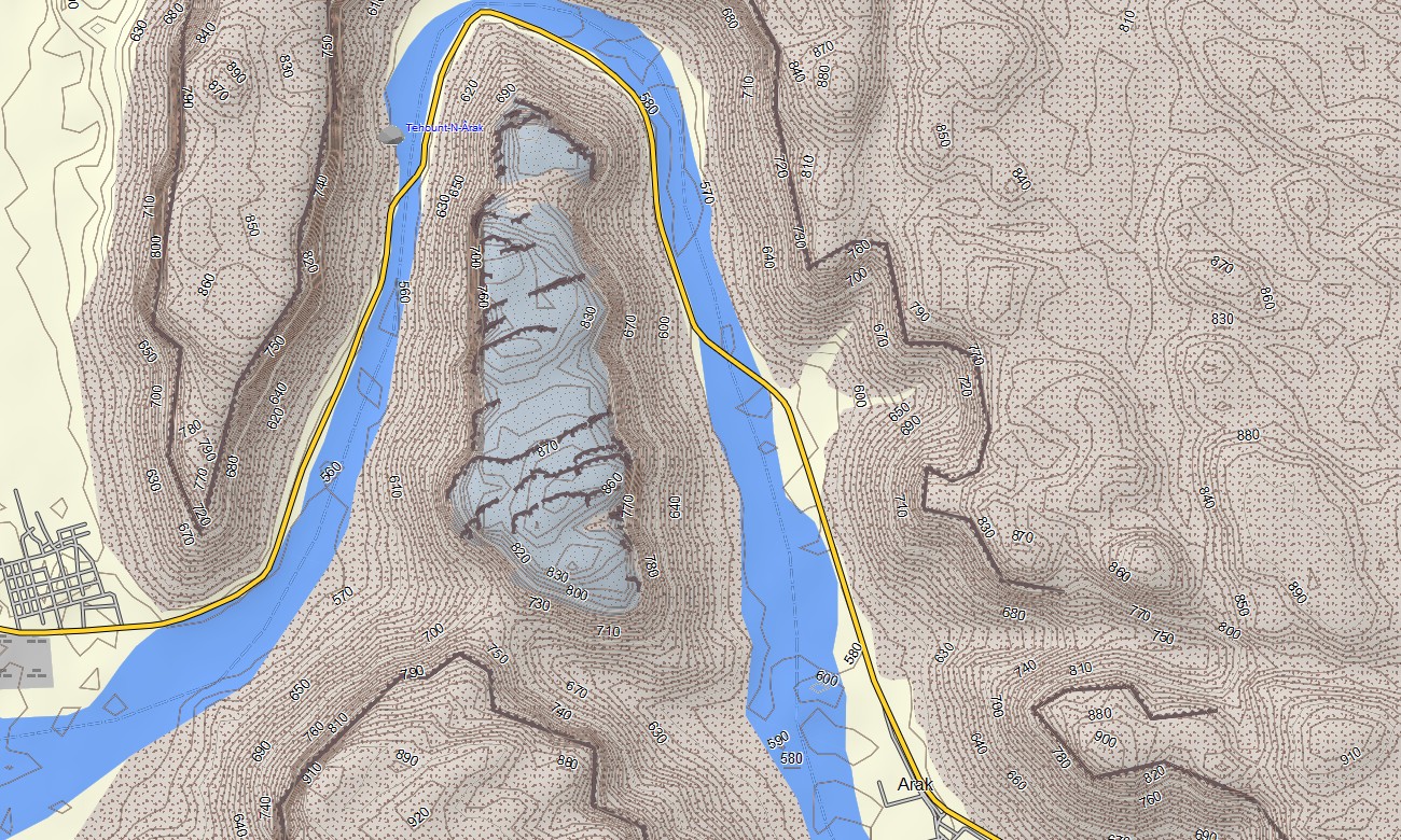
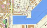
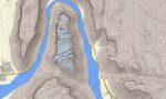
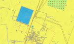
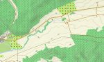
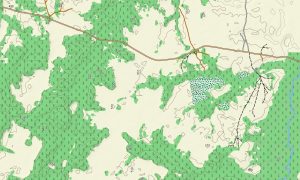
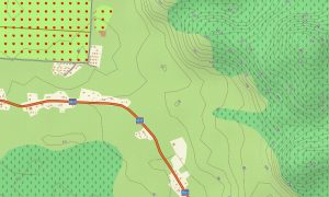
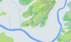
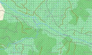
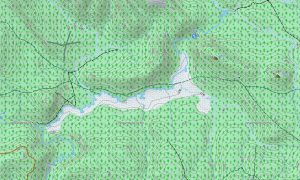
The Garmin map of Algeria impresses with its precision and richness of detail. Beyond roads and city blocks, it meticulously marks out hiking trails, small bodies of water, elevation contours, and key elements of natural landscapes—forests and famous oases scattered across vast expanses of desert. Let Garmin guide you as you explore Algeria’s treasures one road trip at a time. Embark on a journey where ancient ruins meet modern cities and where nature unfolds its mysteries under starlit skies.
With built-in routing, the map lets you plan complete journeys directly on your device — from road trips between cities to hiking routes in the mountains or cycling tours through rural areas. Accurate itineraries can be created and followed confidently, even without internet access.
The package combines several layers: full road coverage for intercity and regional travel, detailed street navigation for towns and cities, and comprehensive topo data for off-road exploration. After purchase, you receive an instant download link, installation takes only minutes keep your map accurate and reliable.
Key Features:
- Topographic Garmin map of Algeria with trails, sands, oases, dunes, rivers, lakes, and elevation contours
- Natural features such as coastlines, forests, desert, and mountain terrain clearly displayed
- Explore the highlights that showcase the region’s beauty and culture: ruins, excavations, national park, natural attraction
- Full coverage of highways, regional routes, and detailed urban streets
- Routing support for driving, hiking, and cycling trips
- Works fully offline — no internet connection required
- Fast download on Garmin devices
- The map contains contour lines of heights
Only logged in customers who have purchased this product may leave a review.

Reviews
There are no reviews yet.