
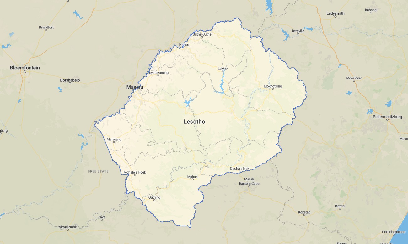
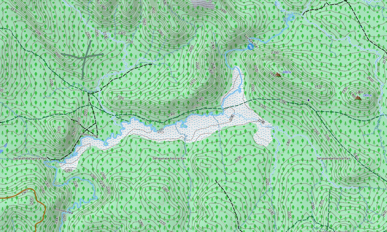
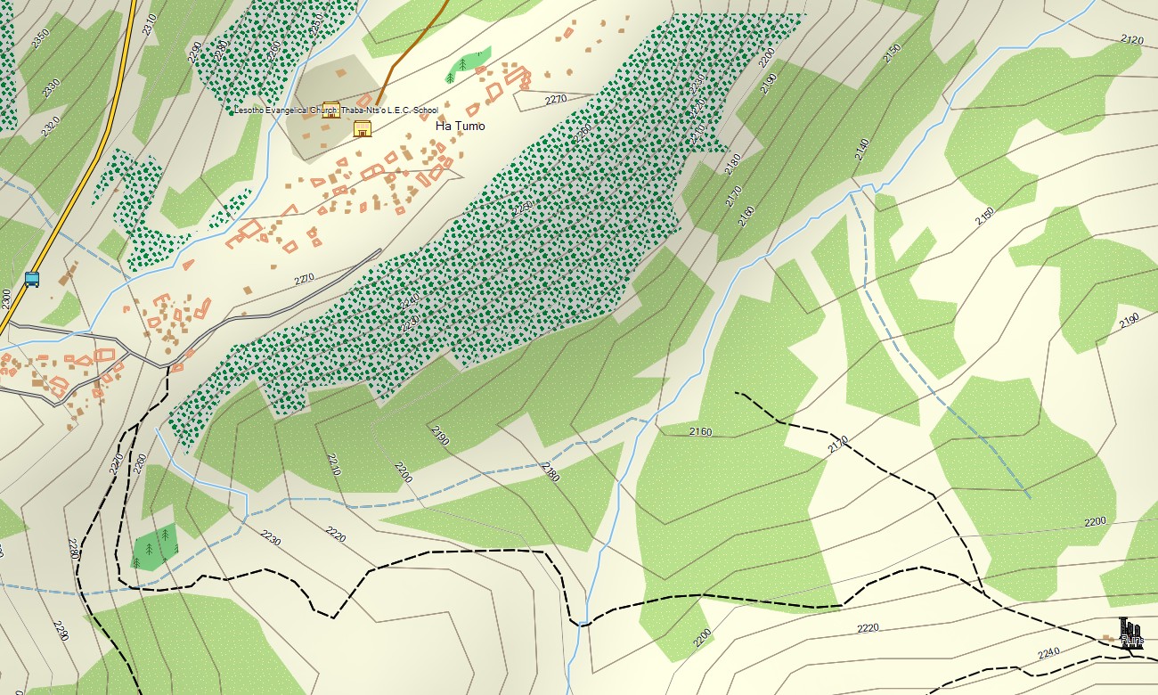
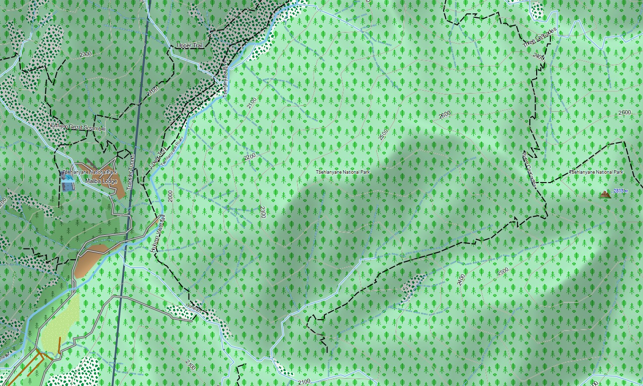
Lesotho Garmin topographic map
$22
Lesotho topo map for Garmin
Discover the Mountain Kingdom with this essential topographic Garmin map, designed for confident travel in this high-altitude nation. Perfect for navigating the rugged terrain, this detailed Garmin GPS map covers the entire country, from the peaks of the Drakensberg and Maloti ranges to remote valleys and traditional villages, providing reliable guidance for all your journeys.
Suited for hiking adventures and mountain road trips, this OSM map tourist Garmin solution uses OpenStreetMap data enhanced with detailed relief for cities like Maseru, mountain passes, and shepherd tracks. These outdoor maps Garmin users rely on operate fully offline. Instant download with regular updates included keeps your Garmin map current for any trip into the highlands.
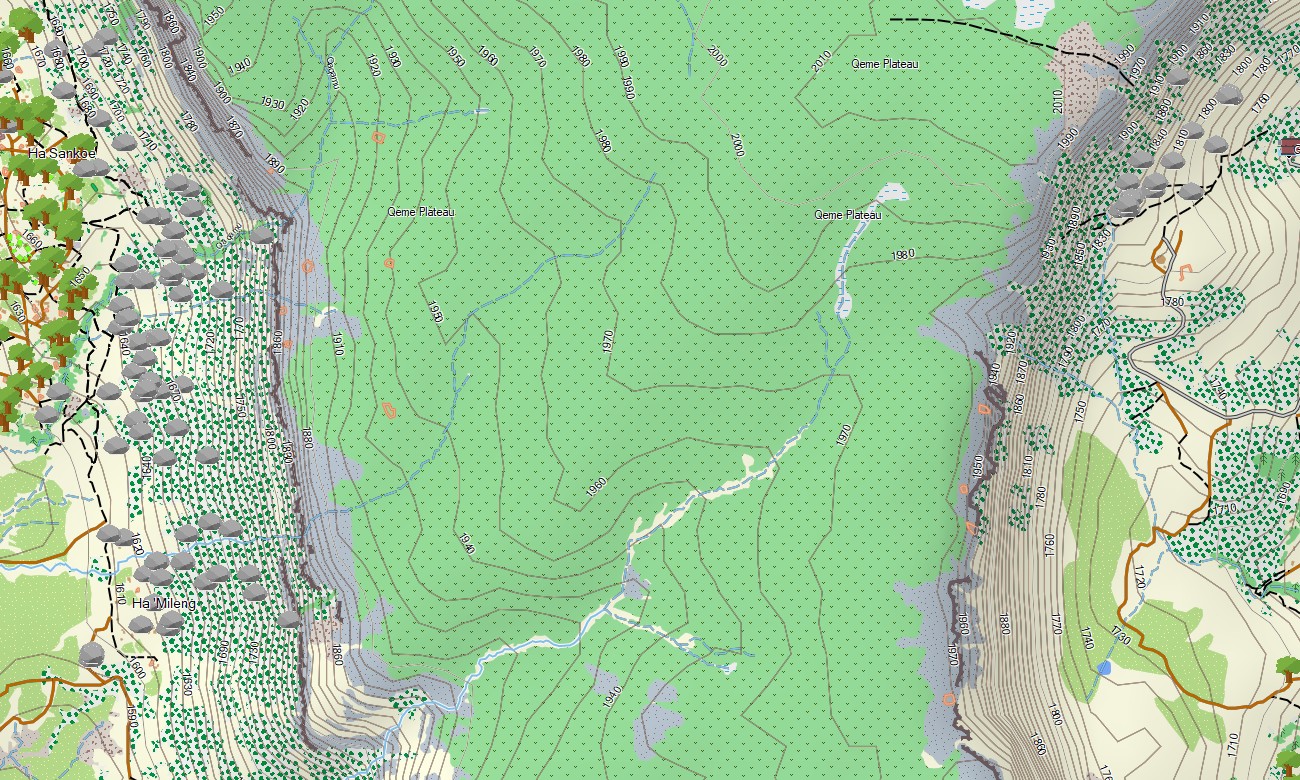
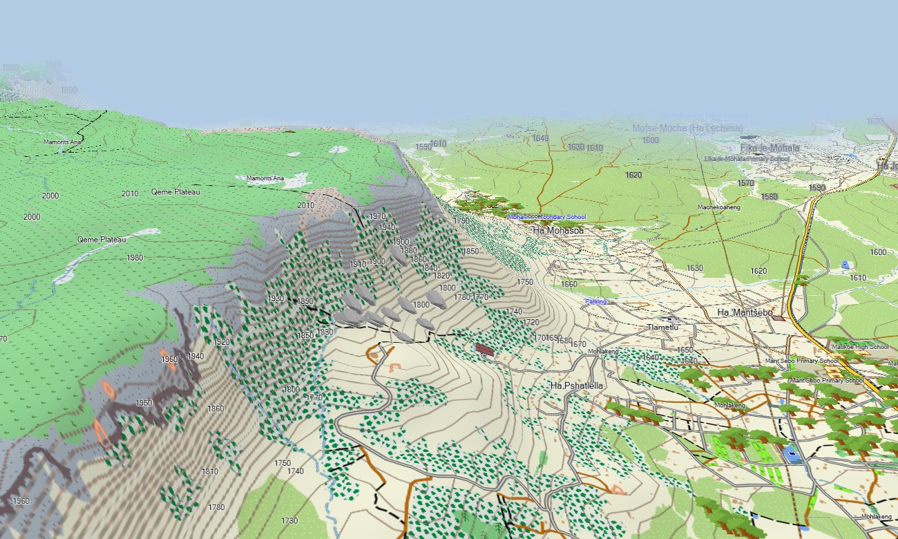
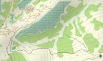
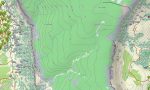
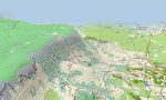
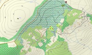
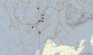
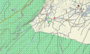
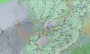
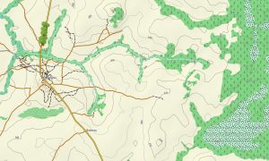
This product functions as a detailed OSM topo map, showing roads, 4×4 tracks, footpaths, rivers, reservoirs, and elevation contours. Natural features like the dramatic Drakensberg escarpment, deep valleys, plateaus, and waterfalls are clearly displayed. This makes these topographic maps for Garmin crucial for safe exploration of Lesotho’s stunning mountainous landscapes and remote areas.
With built-in routing, these maps for Garmin navigator devices allow for planning and turn-by-turn guidance directly on your GPS. Whether navigating the winding mountain roads, finding routes through scenic passes, or traveling to rural communities, this Garmin GPS map delivers consistent, offline navigation without mobile data.
The map contains several data layers: a full road network for national travel, detailed street plans for towns, and comprehensive topographic information for off-road trekking. You receive an instant download link after purchase; setup is fast, and ongoing updates ensure your Garmin map for watch or handheld stays accurate.
Key Features:
- Topographic maps for Garmin covering Lesotho with roads, mountain passes, tracks, trails, rivers, reservoirs, and detailed elevation contours.
- Natural features including the Drakensberg range, high plateaus, deep valleys, escarpments, waterfalls, and river systems.
- Complete road coverage encompassing major routes, secondary roads, urban streets in towns, and remote rural connections.
- Points of interest: urban infrastructure, airports, historical monuments, museums, cultural villages, border posts, police stations, churches, missions, schools, clinics, hotels, lodges, restaurants, fuel stations, shops, post offices, water towers, dams, mountain peaks, passes, caves, rock art sites.
- Routing support for driving and navigation on compatible Garmin devices.
- Full compatibility with handheld GPS units, automotive navigators, and supported as a map for Garmin watch models.
- The map contains contours of heights
Only logged in customers who have purchased this product may leave a review.
Reviews
There are no reviews yet.