
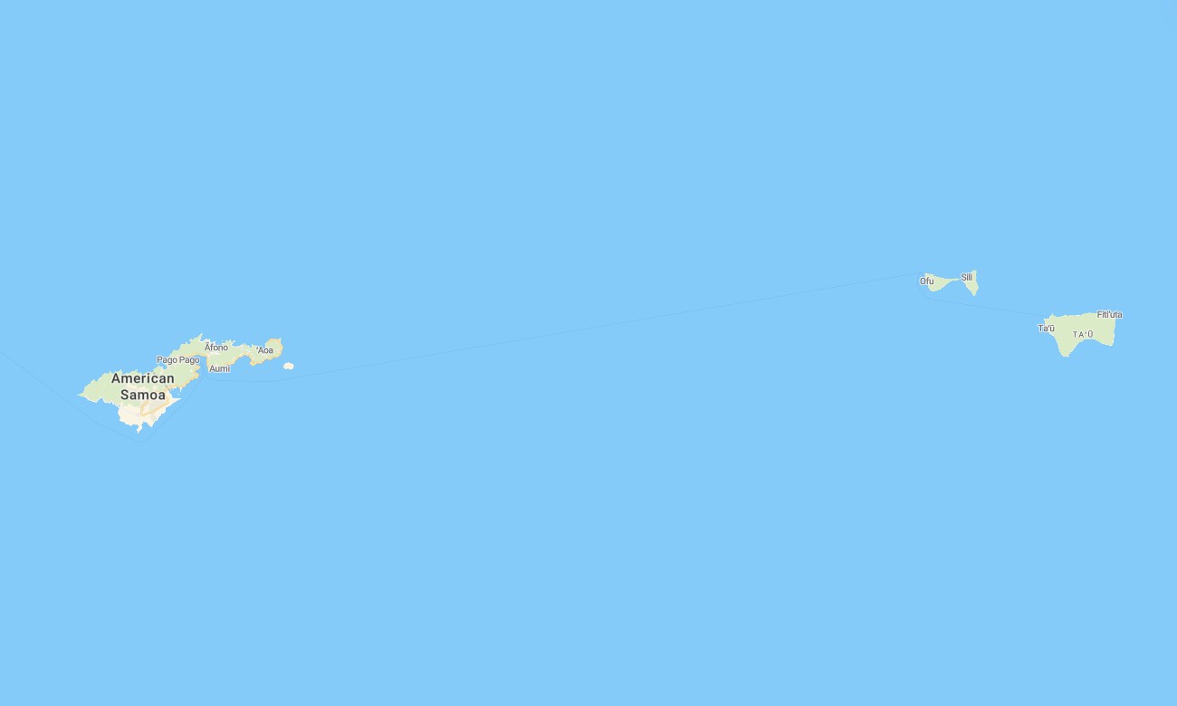
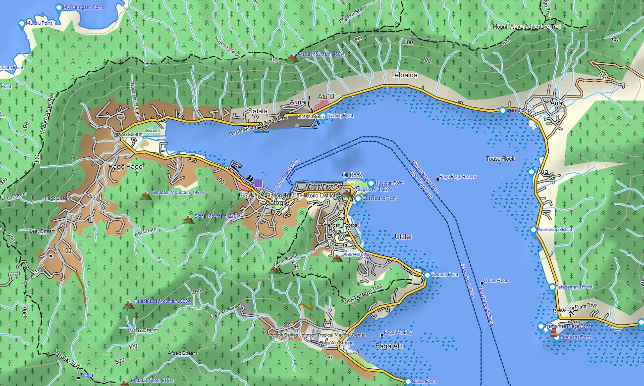
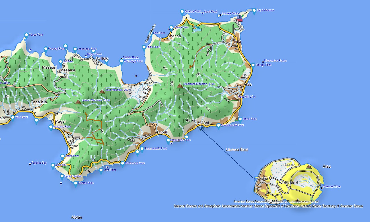
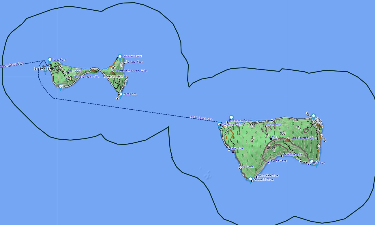
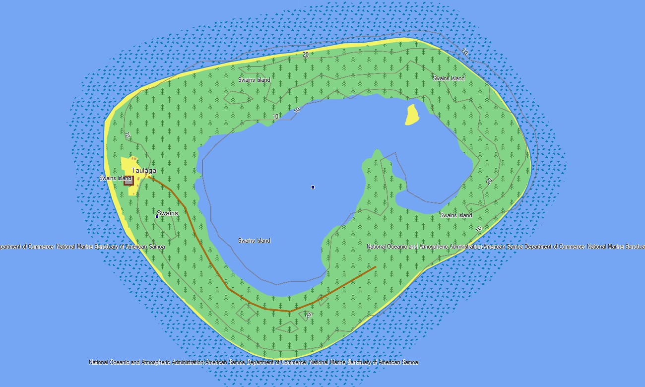
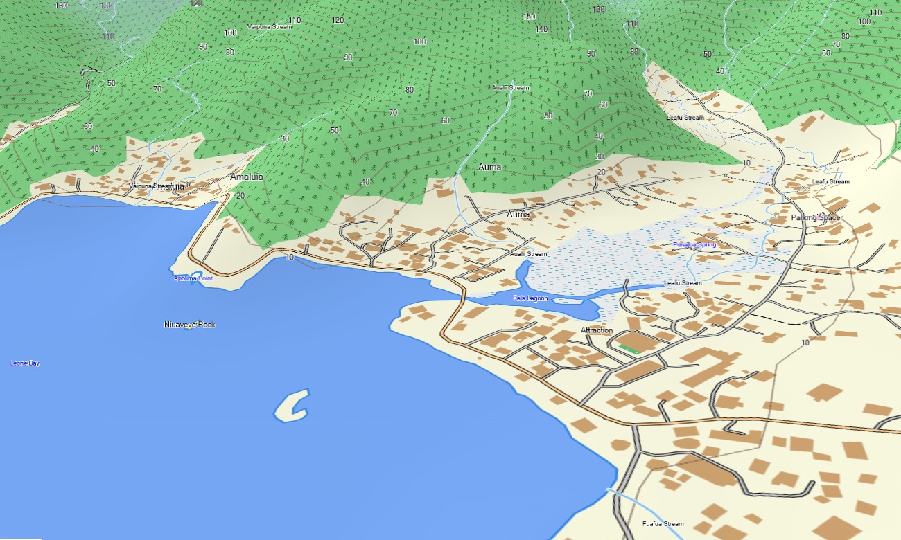


American Samoa Garmin topographic map
$22
American Samoa topo map for Garmin
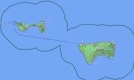
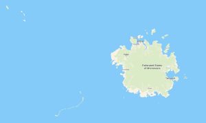
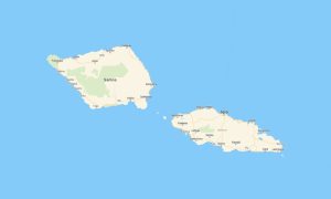
Explore American Samoa with Garmin maps designed for steep volcanic islands, rainforest valleys, coastal villages, harbor roads, and remote Pacific viewpoints. This Garmin GPS map covers Tutuila, Aunuʻu, Ofu, Olosega, Taʻū, and mapped areas of the Manuʻa Islands for dependable offline travel.
Developed as an OSM map tourist Garmin solution, it supports hiking in the National Park of American Samoa, cycling near Pago Pago, village access, beach trips, and cultural exploration. These outdoor maps Garmin users need include roads, tracks, coastlines, streams, bays, ports, schools, churches, and visitor landmarks.
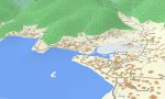
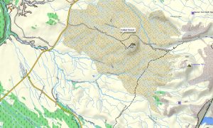
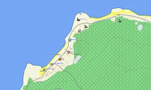
This Garmin GPS map also functions as an OSM topo map, combining open street maps Garmin compatible data with elevation contours and terrain information. OSM topographic maps help travelers understand crater slopes, coastal cliffs, rainforest ridges, valley roads, and difficult walking routes.
Maps for Garmin navigator devices provide local routing where data is available, while a map for Garmin watch is useful for hikers, runners, and cyclists. After purchase, users can download Garmin map files instantly; regular updates keep Garmin OSM maps reliable on compatible devices.
The Garmin map is optimized for island travel where mobile coverage may vary between harbors, mountain roads, and forested coastal areas. These topographic maps for Garmin improve route planning, terrain awareness, and safe navigation during outdoor adventures.
Key Features:
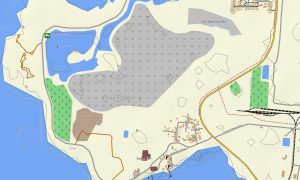
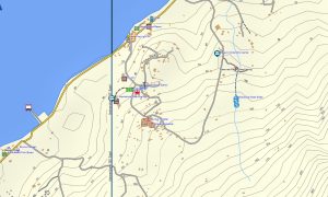
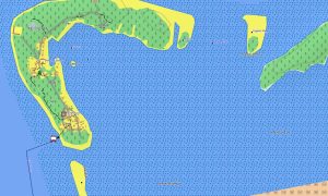
- Topographic maps for Garmin cover American Samoa with village roads, walking tracks, rivers, beaches, coastlines, bays, harbors, airport access, service routes, and elevation contours
- Natural features include volcanic peaks, rainforest ridges, coral reefs, lagoons, waterfalls, sea cliffs, valleys, headlands, beaches, and offshore islets around Tutuila and Manuʻa
- Transport coverage supports island roads, harbor approaches, airport routes, coastal drives, village connections, park access roads, and selected mapped footpaths
- Points of interest include villages, churches, schools, government buildings, viewpoints, beaches, national park areas, ports, airport facilities, cultural sites, and hiking locations
- Routing support works on compatible Garmin devices where road data allows navigation, route calculation, and turn-by-turn guidance
- Compatibility includes handheld GPS units, automotive devices, outdoor receivers, maps for Garmin navigator models, and supported units using a map for Garmin watch
Only logged in customers who have purchased this product may leave a review.
Reviews
There are no reviews yet.