

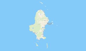
Tokelau Garmin topographic map
$22
Tokelau topo map for Garmin
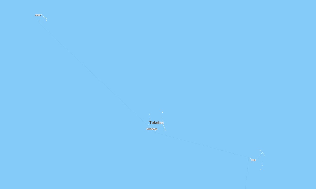
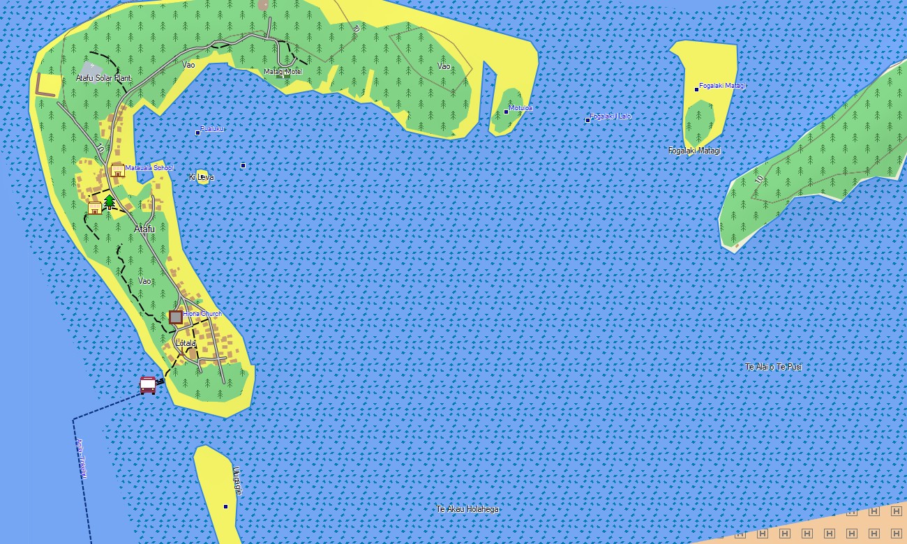
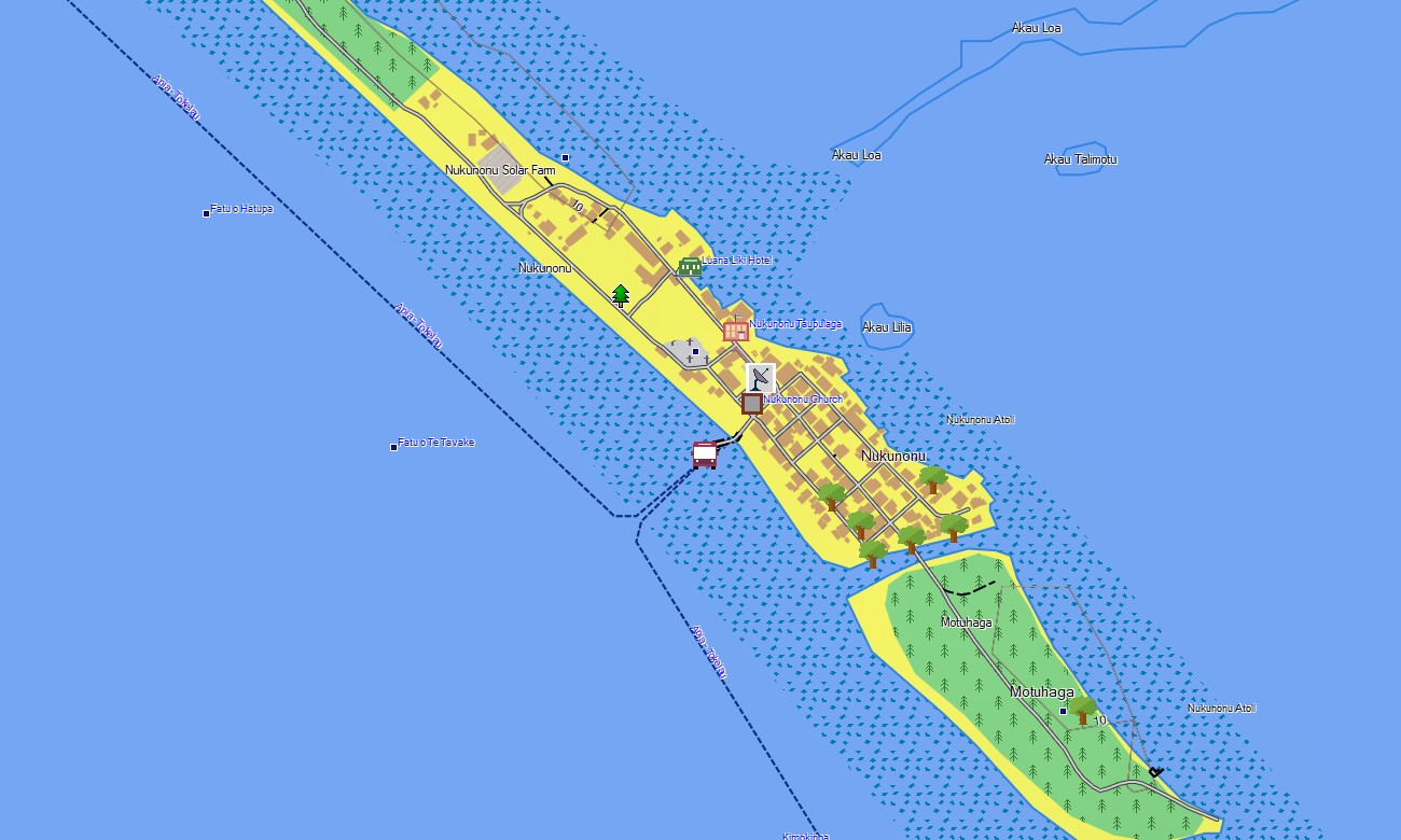
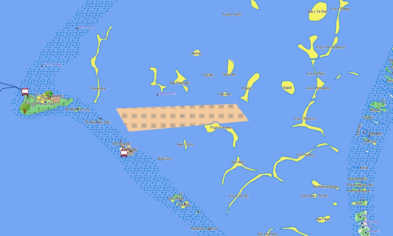
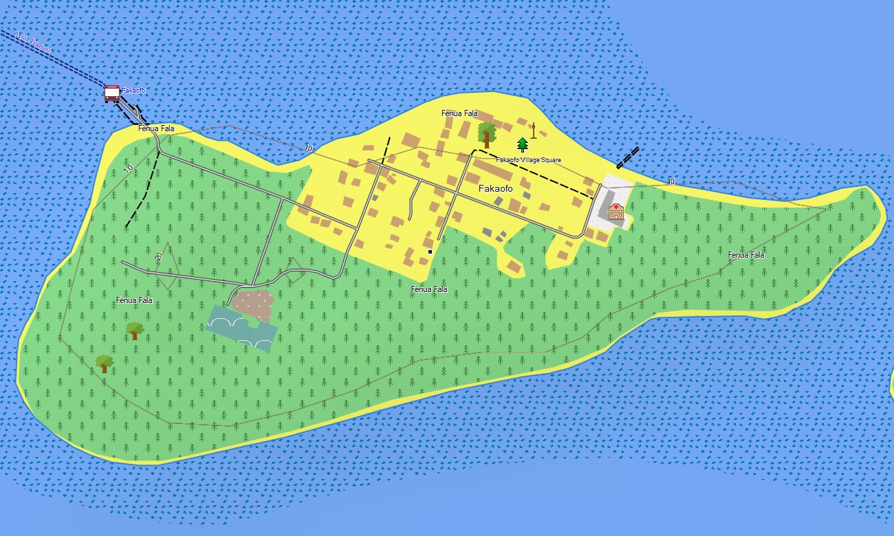
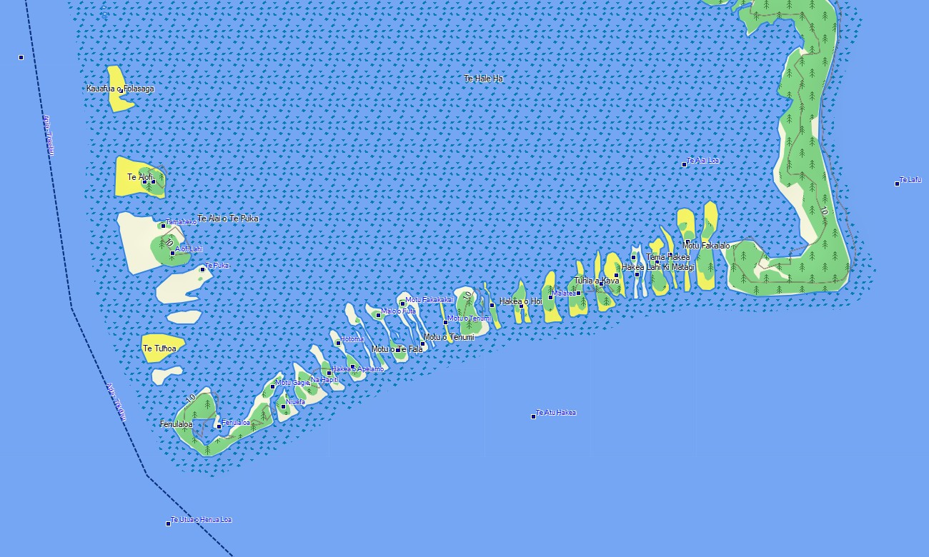
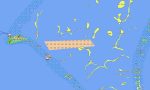
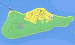
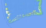
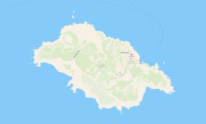
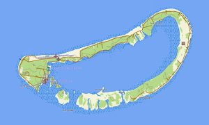
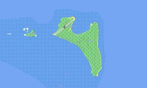
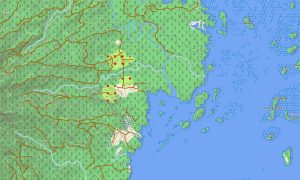
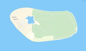
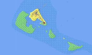
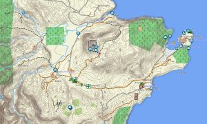
Explore Tokelau with Garmin maps designed for low coral atolls, village paths, lagoon coastlines, boat landing areas, beaches, and compact island orientation. This Garmin GPS map covers mapped areas of Atafu, Nukunonu, and Fakaofo for offline use in a remote Pacific territory.
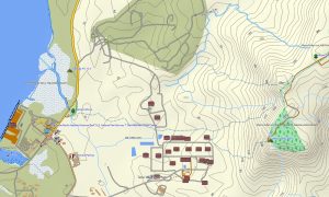
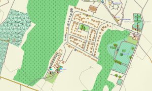
Created as an OSM map tourist Garmin solution, it supports local walking, fieldwork, conservation activity, boat-supported visits, village movement, and coastal exploration. These outdoor maps Garmin users rely on show paths, coastlines, lagoons, islets, community areas, landing points, churches, schools, and reference features.
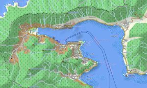
This Garmin GPS map operates as an OSM topo map based on open street maps Garmin compatible data with shoreline detail and available elevation information. OSM topographic maps help users interpret atoll rims, reef flats, lagoon margins, ocean beaches, channels, and low-lying terrain.
Maps for Garmin navigator devices have limited application because Tokelau has very small land areas and minimal road networks. A map for Garmin watch is practical for walking and field navigation, while users can download Garmin map files before departure.
The Garmin map offers reliable offline context where internet access is limited and conventional navigation is sparse. Garmin OSM maps and topographic maps for Garmin help organize movement around villages, shorelines, and lagoon-facing routes.
Key Features:
- Topographic maps for Garmin cover Tokelau with village paths, coastlines, lagoon edges, beaches, islets, landing areas, community locations, churches, schools, and elevation data where available
- Natural features include coral atolls, reef flats, lagoons, ocean beaches, channels, coconut areas, low coastal terrain, sand spits, and small Pacific islets
- Transport coverage includes walking paths, settlement routes, boat landing approaches, coastal access lines, service paths, and limited mapped local connections
- Points of interest include villages, meeting houses, churches, schools, beaches, lagoon access points, administrative sites, community buildings, conservation areas, and geographic landmarks
- Routing support is limited and depends on compatible Garmin devices plus available path or settlement data
- Compatibility includes handheld GPS units, outdoor Garmin receivers, selected maps for Garmin navigator products, and supported devices using a map for Garmin watch
Only logged in customers who have purchased this product may leave a review.
Reviews
There are no reviews yet.