
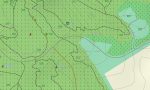
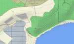
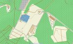
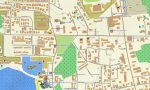
Guam Garmin topographic map
$22
Guam topo map for Garmin
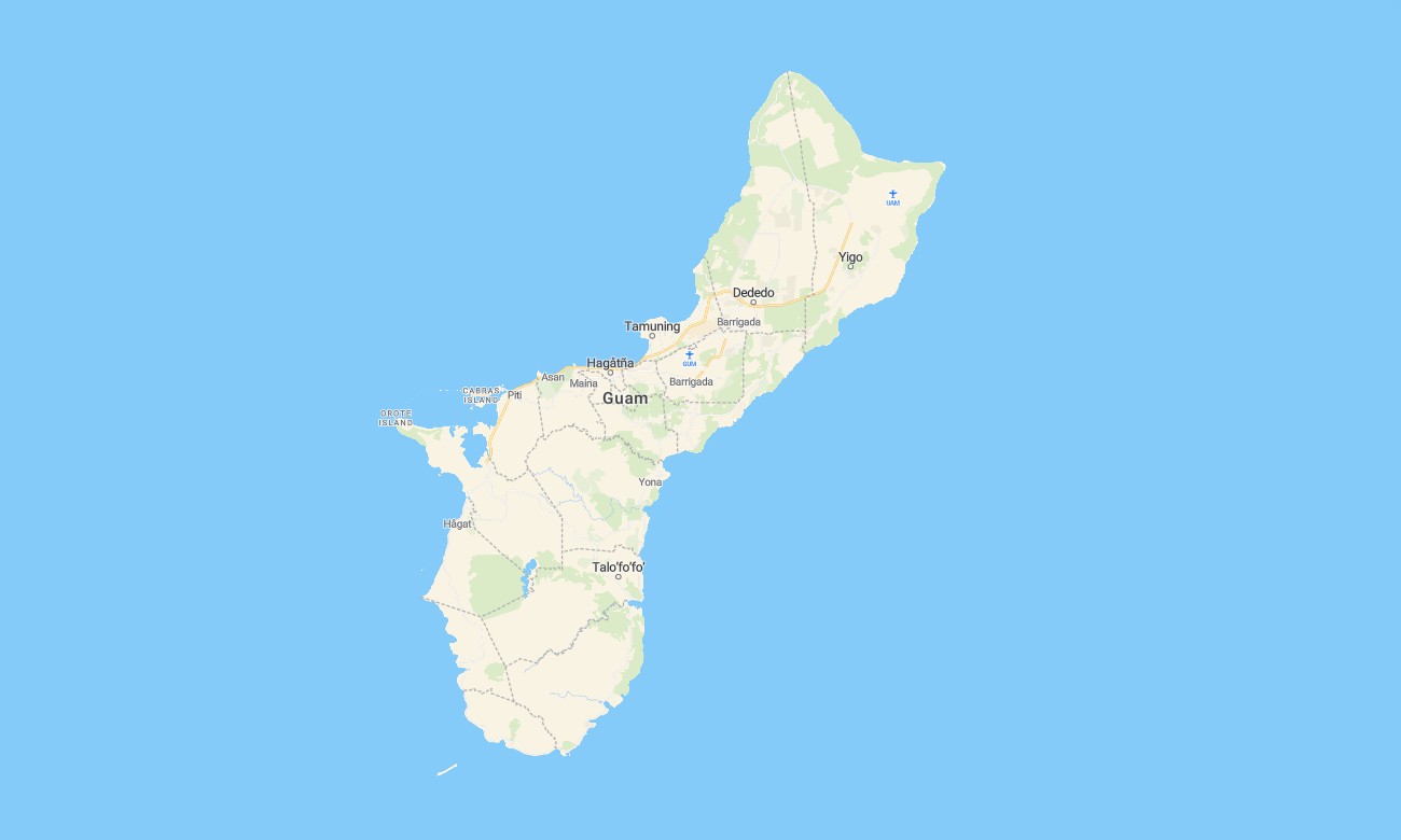
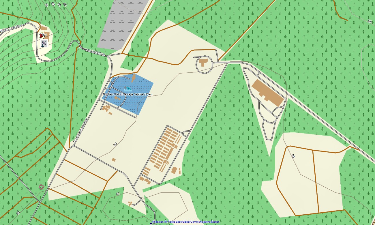
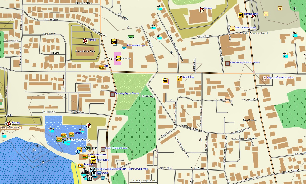
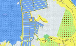
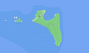
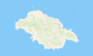
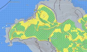
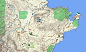
Explore Guam with Garmin maps designed for urban navigation, coastal highways, jungle trails, military-adjacent road networks, beaches, viewpoints, and limestone terrain. This Garmin GPS map covers Hagatna, Tumon, Dededo, Tamuning, southern villages, coastal parks, and inland routes across the island.
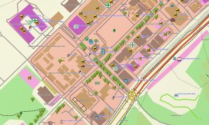
Developed as an OSM map tourist Garmin resource, it supports road trips, hiking, cycling, running, sightseeing, beach access, and practical local travel. These outdoor maps Garmin users rely on include streets, trails, rivers, coastlines, cliffs, bays, airports, ports, service roads, and visitor landmarks.
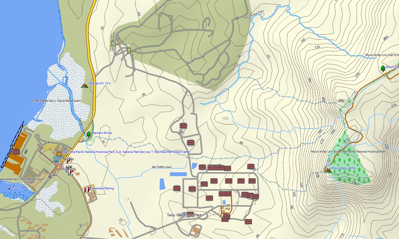
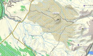
This Garmin GPS map works as an OSM topo map using open street maps Garmin compatible data with elevation contours and terrain information. OSM topographic maps help identify limestone plateaus, jungle slopes, ravines, coastal cliffs, river valleys, and scenic overlooks.
Maps for Garmin navigator devices support driving around Guam where routing data is available, including main roads and local connections. A map for Garmin watch is useful for fitness routes, hiking paths, and outdoor activities.
Users can download Garmin map files before arrival and keep Garmin OSM maps available offline. The Garmin map provides stronger independence than basic mobile navigation, especially in forested areas, rural lanes, and coastal recreation zones.
Key Features:
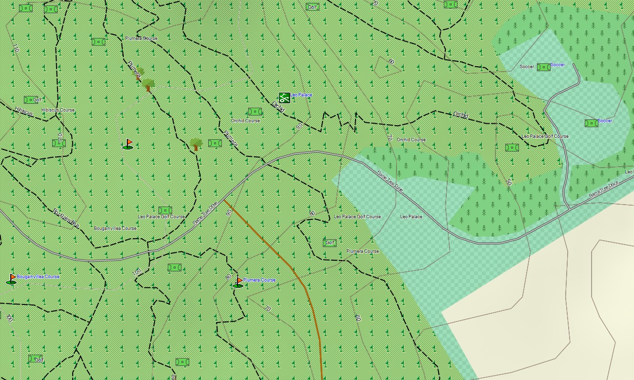
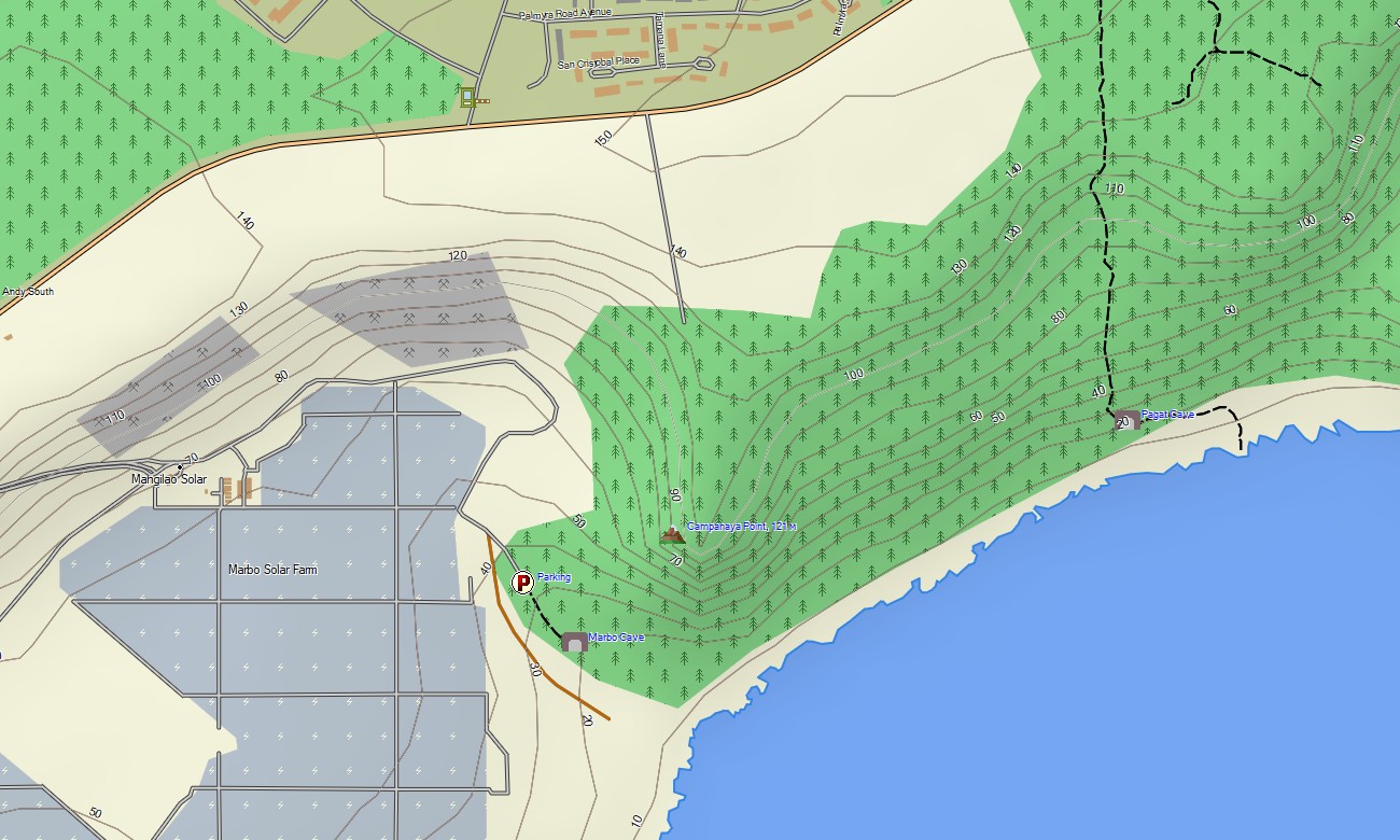
- Topographic maps for Garmin cover Guam with highways, local streets, trails, rivers, coastlines, beaches, cliffs, bays, ports, airport roads, service routes, and elevation contours
- Natural features include limestone plateaus, jungle valleys, waterfalls, coral reefs, coastal cliffs, caves, beaches, bays, headlands, rivers, and forested southern hills
- Transport coverage includes major highways, village roads, urban streets, beach access roads, airport approaches, harbor connections, rural routes, and selected hiking paths
- Points of interest include beaches, parks, viewpoints, memorials, historical sites, villages, shopping districts, ports, airports, waterfalls, churches, cultural landmarks, and trailheads
- Routing support is available on compatible Garmin devices where mapped road data enables navigation and guidance
- Compatibility includes handheld GPS units, vehicle navigators, outdoor receivers, maps for Garmin navigator products, and supported devices using a map for Garmin watch
Only logged in customers who have purchased this product may leave a review.

Reviews
There are no reviews yet.