
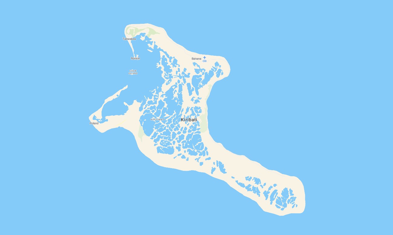
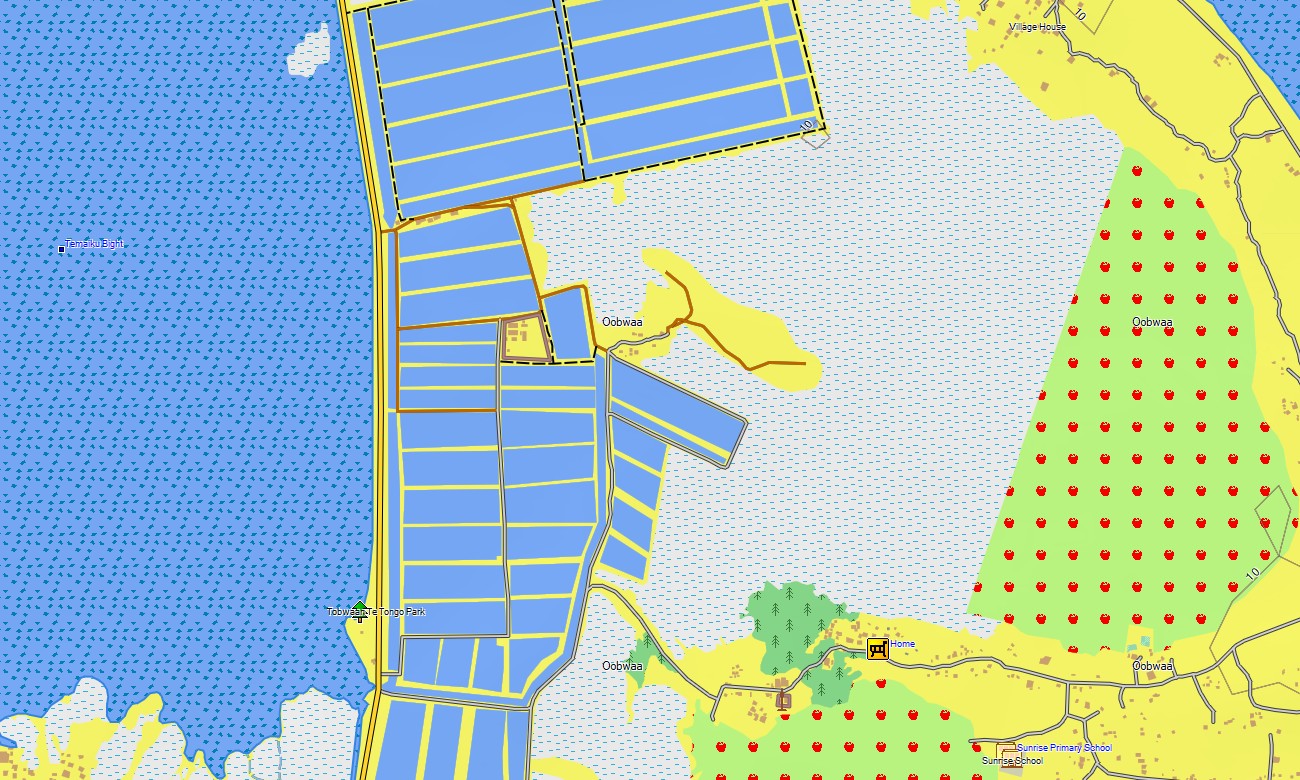
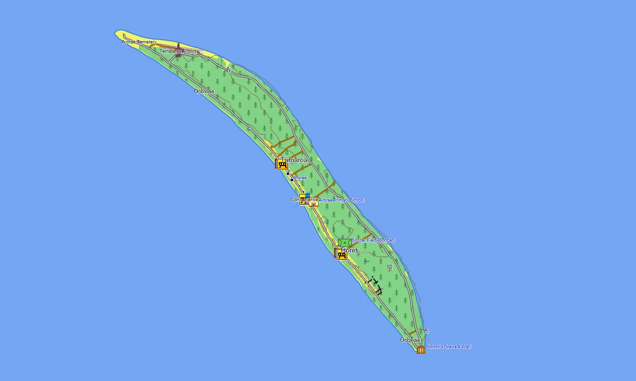
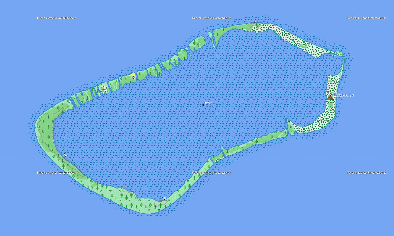
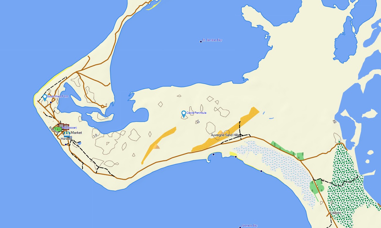
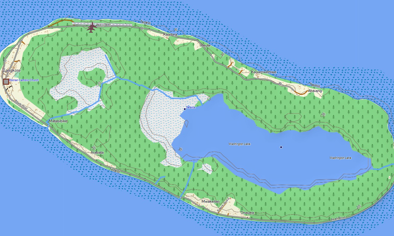


Kiribati Garmin topographic map
$22
Kiribati topo map for Garmin
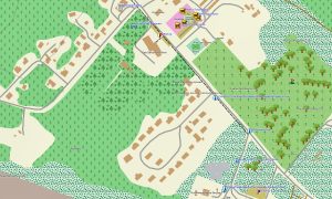
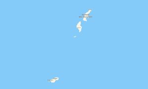
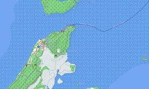
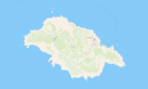
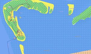
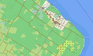
Explore Kiribati with Garmin maps designed for scattered atolls, narrow island roads, lagoon coastlines, settlements, causeways, and remote Pacific travel. This Garmin GPS map covers Tarawa, Kiritimati, Abemama, Tabiteuea, Butaritari, and other mapped islands across the Gilbert, Phoenix, and Line Islands.
Created as an OSM map tourist Garmin solution, it supports practical orientation for travelers, researchers, conservation teams, cyclists, walkers, and island visitors. These outdoor maps Garmin users need offline include settlement roads, paths, coastlines, lagoons, beaches, airstrips, ports, causeways, and essential local points.
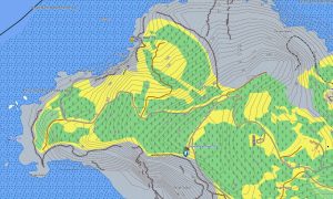
This Garmin GPS map works as an OSM topo map using open street maps Garmin compatible information with available elevation and shoreline detail. OSM topographic maps help users understand atoll structure, reef edges, lagoon margins, ocean-facing beaches, islets, and limited inland relief.
Maps for Garmin navigator devices assist with local movement where routable data is available. A map for Garmin watch supports walking and cycling on compact islands, while Garmin OSM maps can be installed after users download Garmin map files before travel.
Key Features:
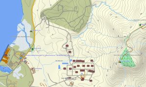
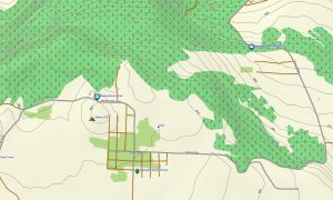
- Topographic maps for Garmin cover Kiribati with settlement roads, paths, causeways, coastlines, lagoons, beaches, ports, airstrips, islands, and elevation contours where available
- Natural features include coral atolls, reefs, lagoons, ocean beaches, sand spits, islets, coconut areas, channels, and low-lying coastal terrain
- Transport coverage includes local roads, village streets, causeways, airport access, port areas, coastal paths, and selected island tracks
- Points of interest include villages, churches, schools, markets, beaches, viewpoints, ports, airports, administrative sites, conservation zones, war relics, and lagoon access areas
- Routing support is available only where compatible data exists on Garmin devices
- Compatibility includes handheld GPS units, selected vehicle navigators, outdoor receivers, maps for Garmin navigator devices, and supported Garmin watch
Only logged in customers who have purchased this product may leave a review.

Reviews
There are no reviews yet.