
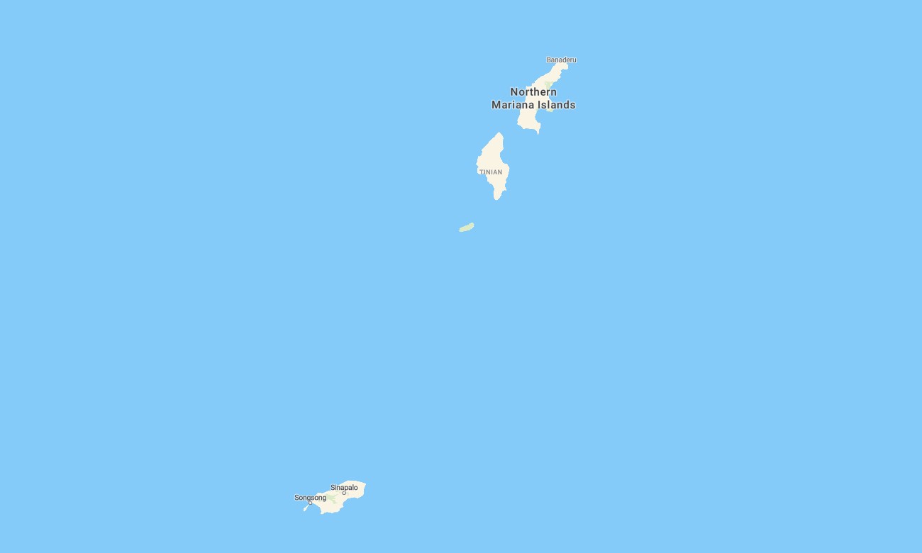
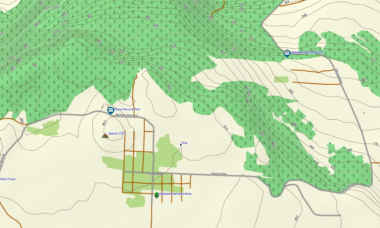
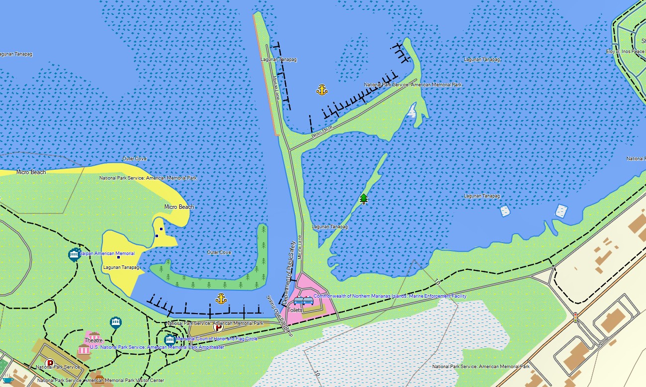
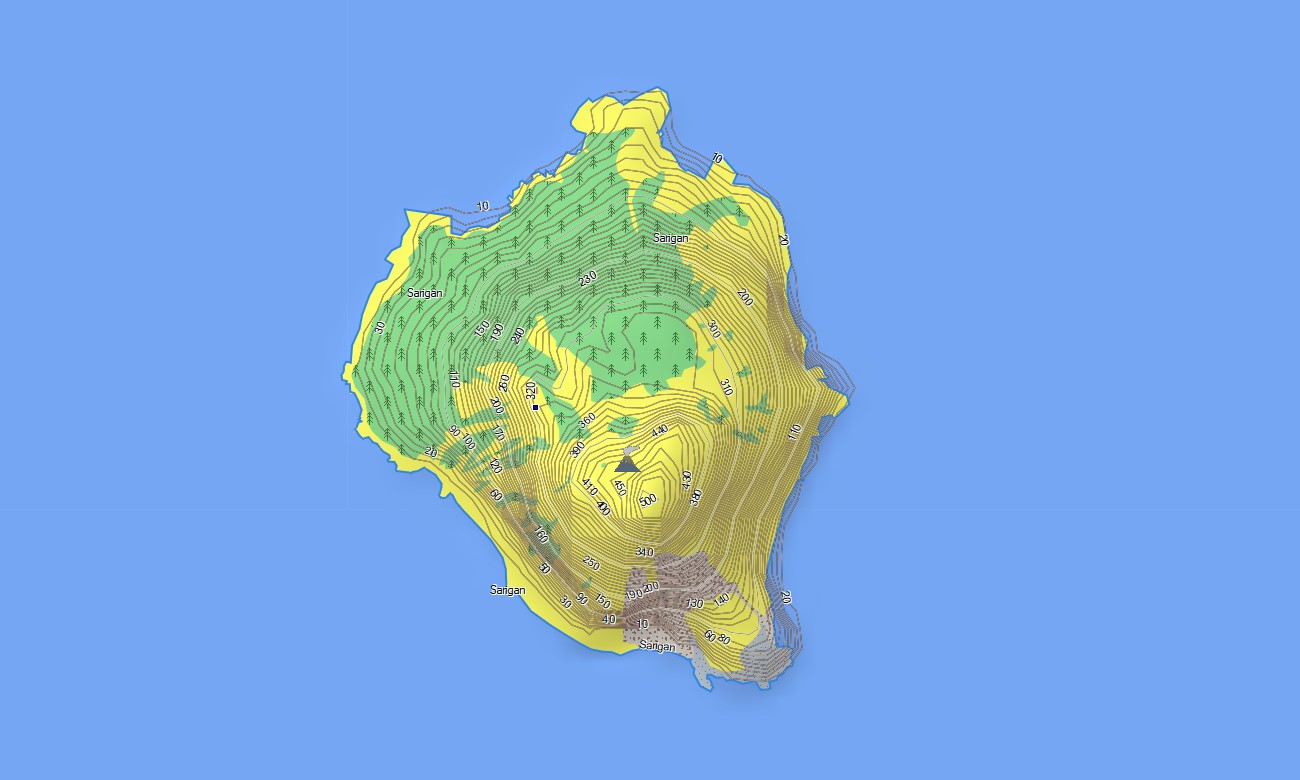

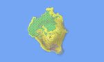
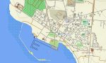
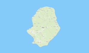
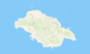
Northern Mariana Islands Garmin topographic map
$22
Northern Mariana Islands topo map for Garmin
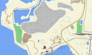
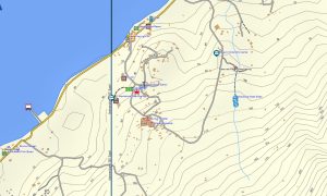
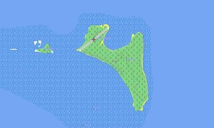
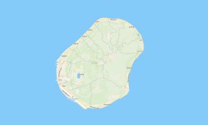
Explore the Northern Mariana Islands with Garmin maps built for volcanic islands, coastal roads, historic sites, jungle routes, beaches, ports, and scattered island settlements. This Garmin GPS map covers Saipan, Tinian, Rota, and mapped northern islands for practical offline navigation.
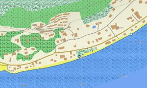
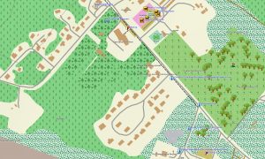
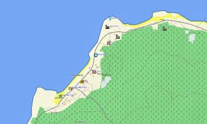
Designed as an OSM map tourist Garmin solution, it supports driving, hiking, cycling, historical exploration, beach access, diving logistics, and rural travel. These outdoor maps Garmin users need include roads, tracks, coastlines, cliffs, forests, villages, airports, harbors, viewpoints, and visitor facilities.
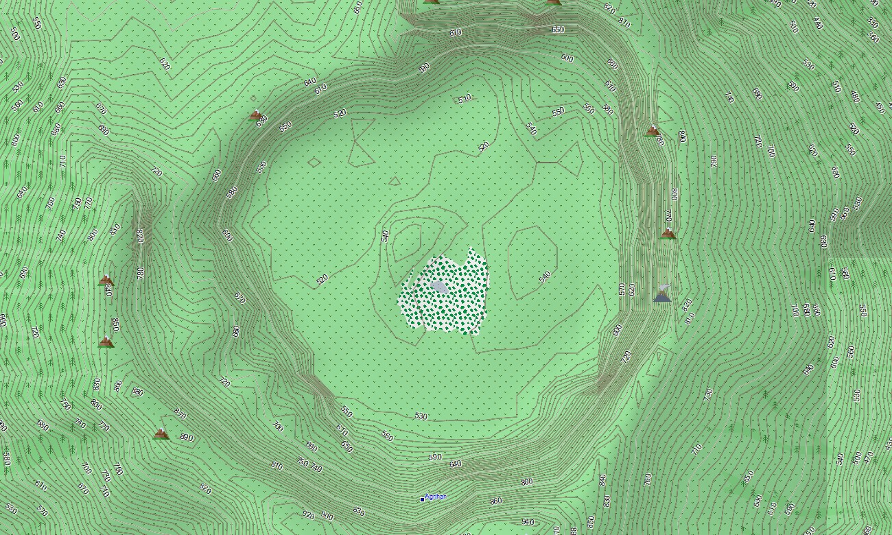
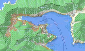
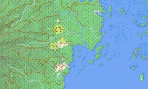
This Garmin GPS map works as an OSM topo map using open street maps Garmin compatible information, elevation contours, and terrain layers. OSM topographic maps help identify volcanic slopes, limestone cliffs, jungle valleys, coastal plateaus, caves, bays, and remote trail areas.
Maps for Garmin navigator devices support local routing on Saipan, Tinian, and Rota where data is available. A map for Garmin watch is practical for hiking, running, and cycling along coastal or inland routes.
After users download Garmin map files, Garmin OSM maps provide offline confidence beyond mobile coverage. The Garmin map is especially valuable for visitors combining road touring with natural viewpoints and World War II heritage locations.
Key Features:
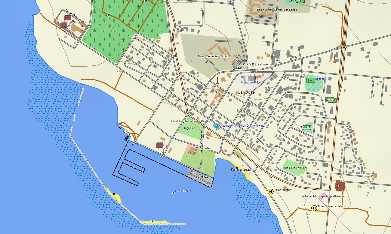
- Topographic maps for Garmin cover the Northern Mariana Islands with roads, trails, coastlines, cliffs, beaches, villages, airports, harbors, caves, viewpoints, and elevation contours
- Natural features include volcanic islands, limestone terraces, jungle hills, coral reefs, beaches, bays, coastal cliffs, caves, headlands, forested valleys, and remote northern islands
- Transport coverage includes urban streets, rural roads, airport access, harbor connections, beach roads, historic-site routes, service tracks, and selected walking paths
- Points of interest include memorials, historical locations, villages, churches, beaches, viewpoints, ports, airports, dive access areas, caves, parks, and cultural landmarks
- Routing support works on compatible Garmin devices where available map data enables route calculation and navigation
- Compatibility includes handheld GPS receivers, automotive devices, outdoor Garmin units, maps for Garmin navigator models, and supported devices using a map for Garmin watch
Only logged in customers who have purchased this product may leave a review.
Reviews
There are no reviews yet.