

Angola Garmin topographic map
$29
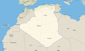
Angola topo map for Garmin
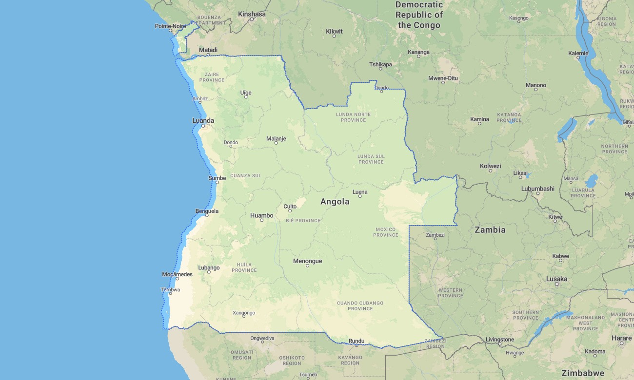
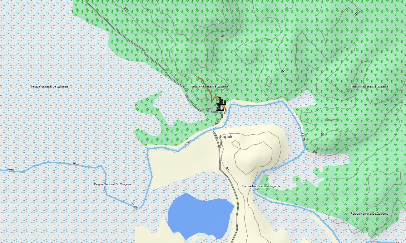
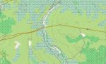
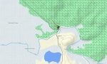
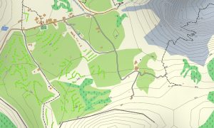
Explore Angola with the Garmin map – it’s vast savannahs, dense jungles, and towering mountains. Discover hidden corners of untouched wilderness that retain their pristine beauty. Immerse yourself in a world of remarkable contrasts and unique natural splendor, from picturesque Atlantic coast beaches to majestic Kalandula waterfalls. Thanks to the accuracy and detail of topographic maps showing natural objects and terrain relief, Garmin Maps will become an indispensable assistant in your adventure.
It’s easy and convenient to plan your dream trip, whether it’s an exciting off-road tour, a hiking ascent to the peaks of Serra da Leoa, or a peaceful walk along the Kwanza River. Use the map in offline mode without internet access. This quickly downloadable and regularly updated map will make your Garmin a reliable companion on journeys across Angola, helping you uncover the secrets and charms of this beautiful African country.
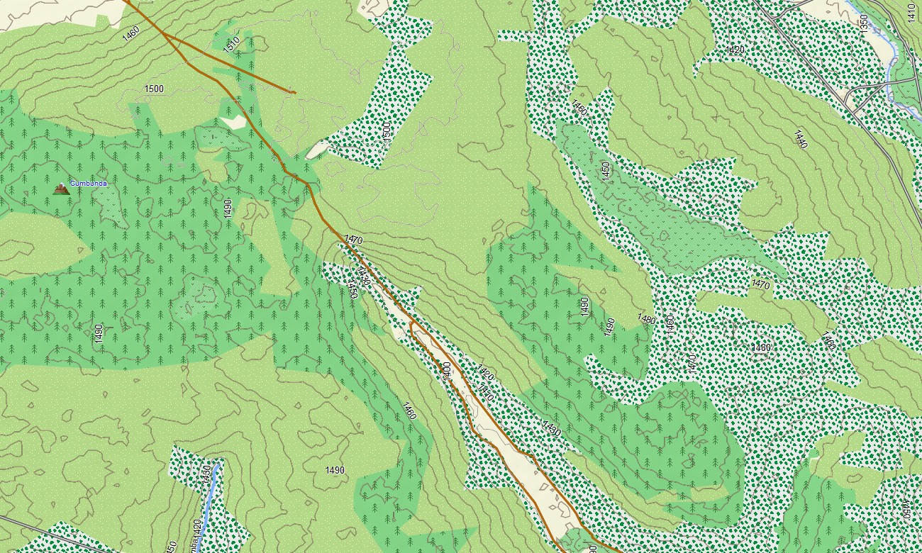
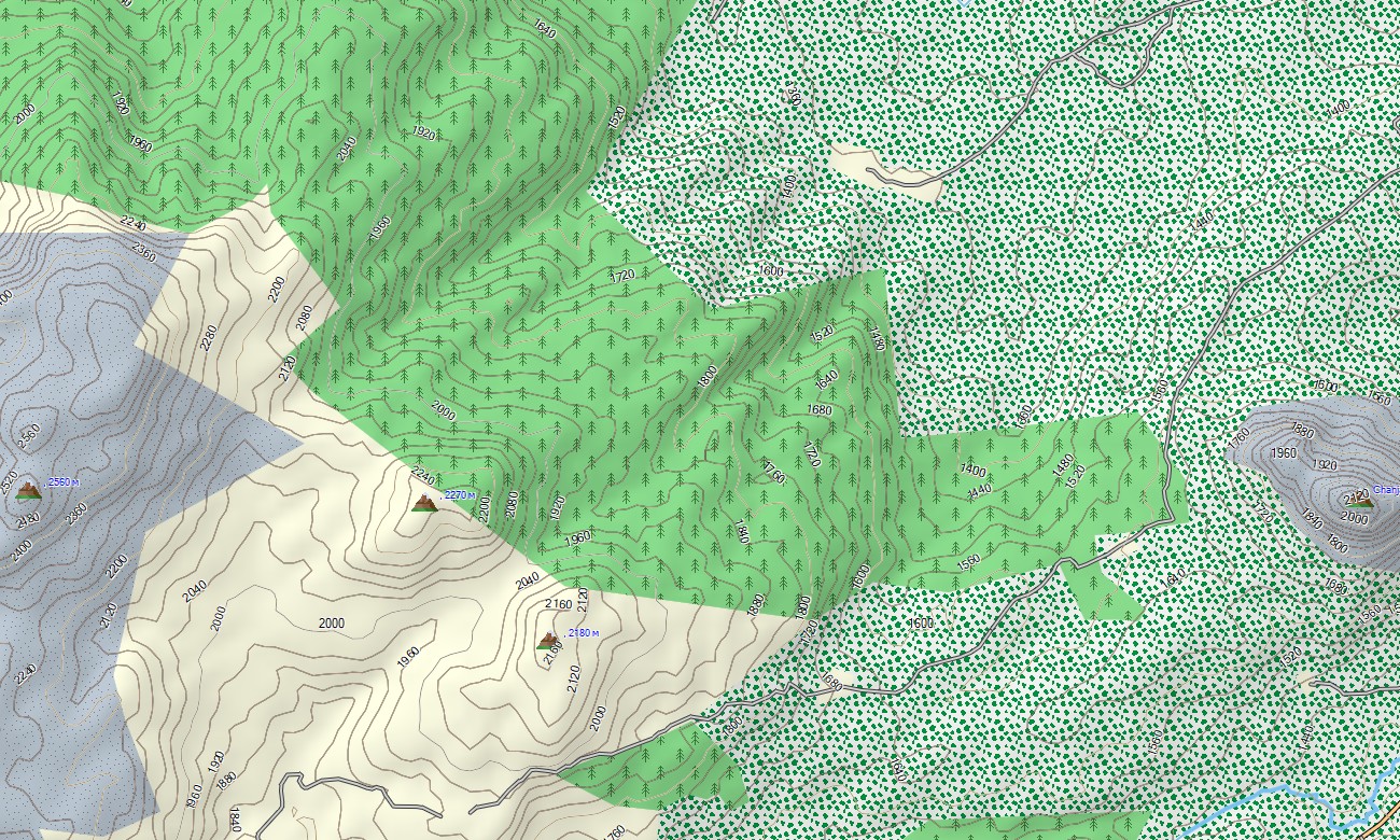
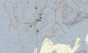
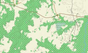
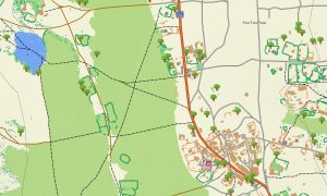
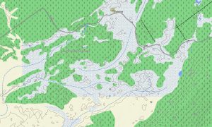
Angola map for Garmin navigators and watches provides detailed topographic information for tourists, displaying contour lines of natural features, tropical forests, savannas, plateaus, mountainous regions, deserts, and coastal zones. This level of detail helps navigate through the diverse natural landscapes of the country, plan routes, and safely explore remote areas. The map is ideal for nature lovers and outdoor enthusiasts, offering precise and clear information about the terrain and natural characteristics of Angola.
With built-in routing, the map lets you plan complete journeys directly on your device – from road trips between cities to hiking routes in the mountains or cycling tours through rural areas. Accurate itineraries can be created and followed confidently, even without internet access.
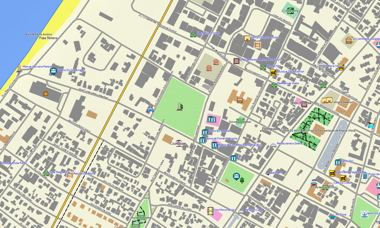
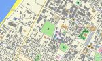
The package combines several layers: full road coverage for intercity and regional travel, detailed street navigation for towns and cities, and comprehensive topo data for off-road exploration. After purchase, you receive an instant download link, installation takes only minutes and keep your map accurate and reliable.
Key Features:
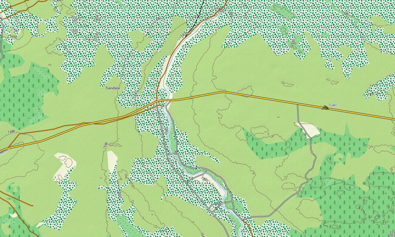
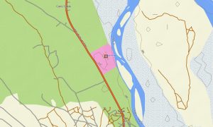
- Topographic Garmin map of Angola with roads, unpaved, trail, railways, rivers, springs, and elevation contours
- Natural features such as tropical forests, savannas, plateaus, mountainous regions, deserts and coastal
- Explore the highlights that showcase the region’s beauty and culture: waterfall, national park, desert, beaches, historical district
- Full coverage of highways, regional routes, and detailed urban streets
- Routing support for driving, hiking, and cycling trips
- Works fully offline — no internet connection required
- Fast download on Garmin devices
- The map contains contour lines of heights
Only logged in customers who have purchased this product may leave a review.
Reviews
There are no reviews yet.