

Arizona Garmin topographic map
$25
Arizona topo map for Garmin
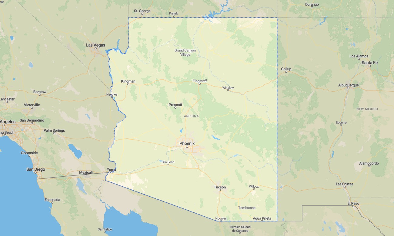
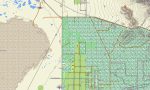
Travel through Arizona’s deserts, canyons, plateaus, volcanic fields, pine forests, and high-country towns with Garmin maps prepared for confident offline navigation. This Garmin GPS map covers Phoenix, Tucson, Flagstaff, Sedona, Yuma, the Grand Canyon region, Mogollon Rim, state routes, forest roads, desert tracks, and recreation areas.
Developed as an OSM map tourist Garmin product, it supports hiking in red-rock country, scenic road trips through the Colorado Plateau, camping routes, overland access, and urban navigation. These outdoor maps Garmin users rely on are valuable where desert distances are long, landmarks are sparse, and a dependable Garmin map is essential.
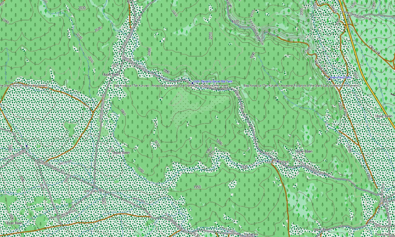
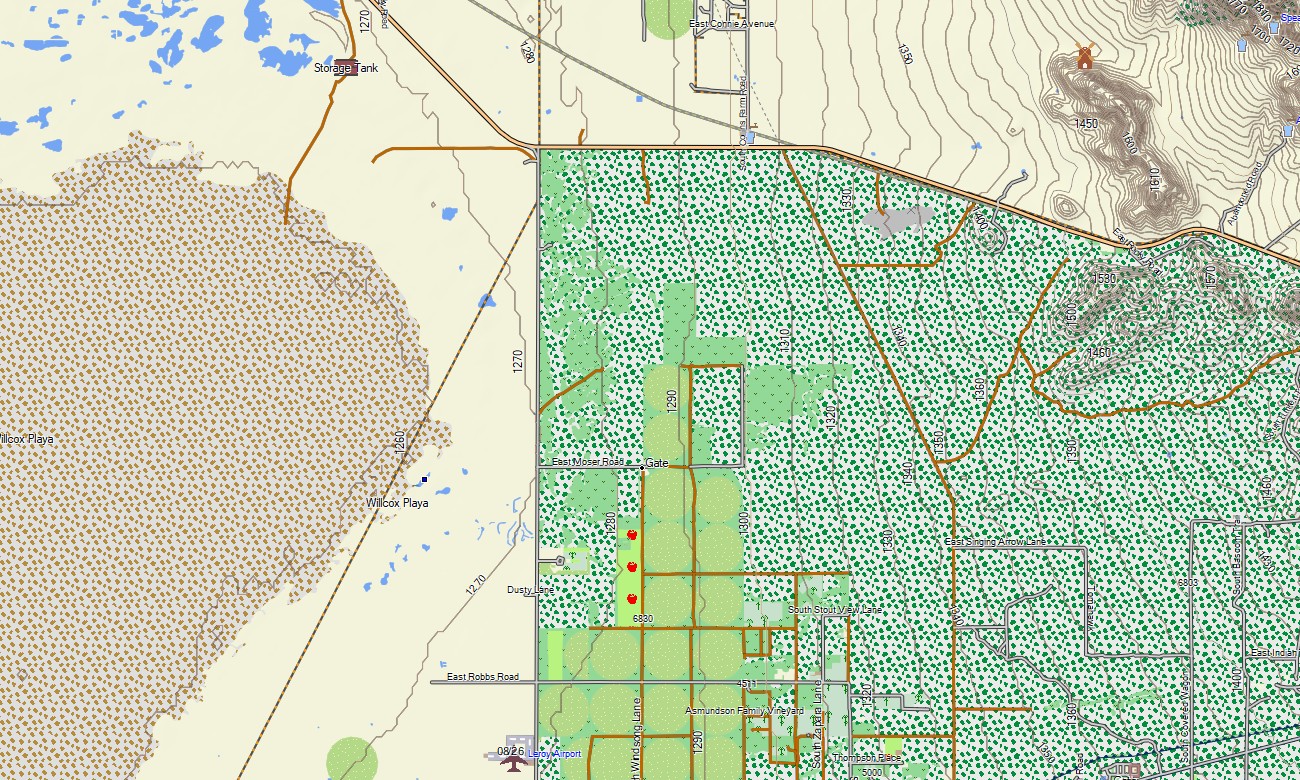
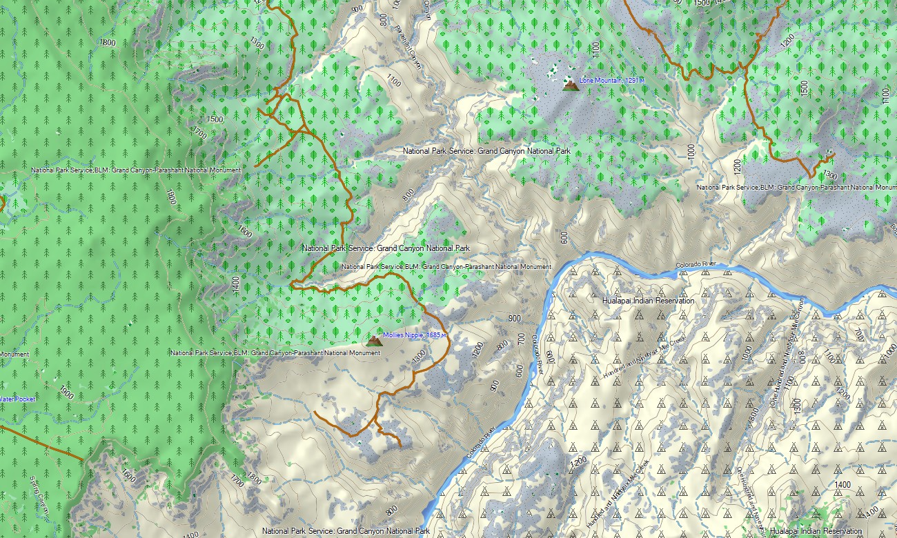
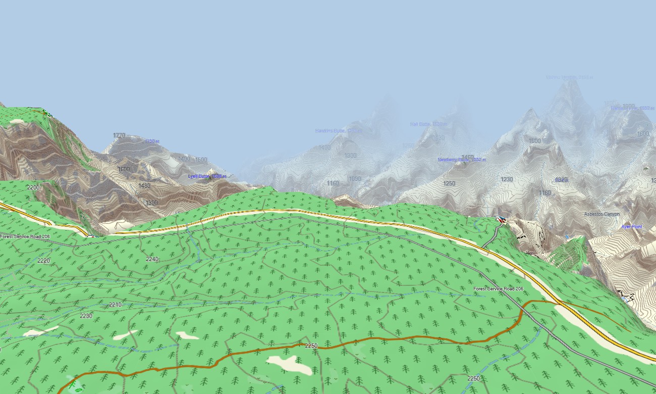
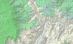
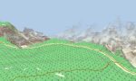
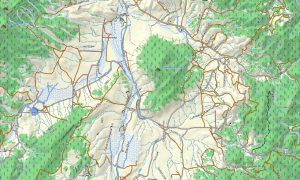
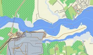
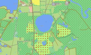
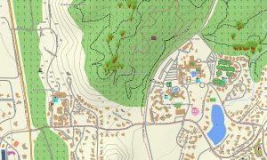
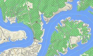
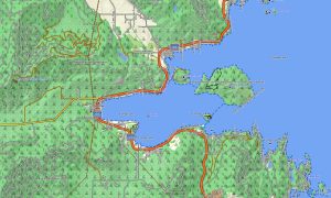
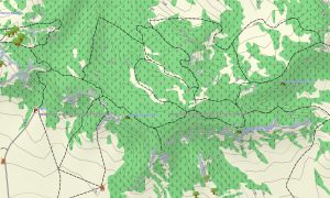
This Garmin GPS map serves as an OSM topo map, displaying interstates, highways, unpaved routes, trails, washes, rivers, lakes, mesas, cliffs, canyons, and elevation contours. Created from open street maps Garmin compatible data, these OSM topographic maps help travelers understand Arizona’s dry basins and elevated forest zones.
Maps for Garmin navigator devices support route planning in cities and along highways, while topographic layers help during backcountry trips. Whether driving through Phoenix, climbing toward Flagstaff, or approaching canyon viewpoints, this Garmin map provides reliable offline guidance for varied terrain.
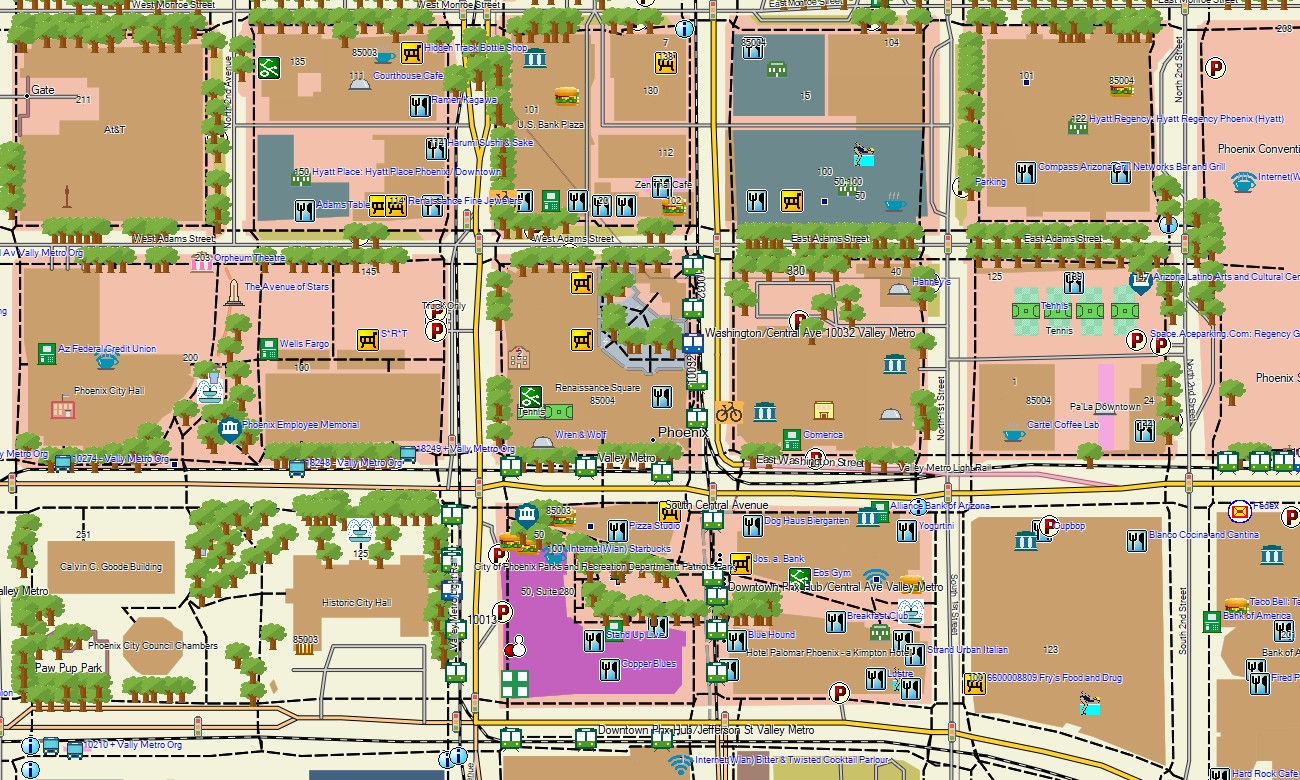
The product combines street data, road routing, outdoor tracks, hydrology, elevation contours, and landmark references in one package. After purchase, use the download Garmin map link for installation. Garmin OSM maps work with many handheld GPS units, automotive receivers, and supported devices using a map for Garmin watch.
Key Features:
- Topographic maps for Garmin covering Arizona with roads, desert tracks, trails, washes, rivers, lakes, and elevation contours
- Natural features such as Sonoran Desert, Colorado Plateau, canyons, mesas, volcanic fields, pine forests, and highlands
- Road detail including interstates, state routes, scenic byways, forest roads, local streets, and rural access tracks
- Points of interest: overlooks, archaeological areas, trailheads, campgrounds, monuments, visitor areas, viewpoints
- Routing support on compatible Garmin navigation devices
- Compatibility with handheld GPS units, automotive navigators, and selected Garmin watch models
Only logged in customers who have purchased this product may leave a review.

Reviews
There are no reviews yet.