
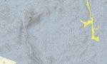
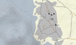

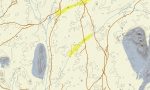
Bir Tawil Garmin topographic map
$22
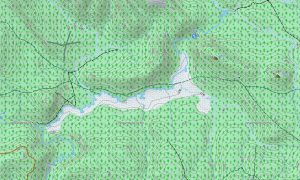
Bir Tawil topo map for Garmin
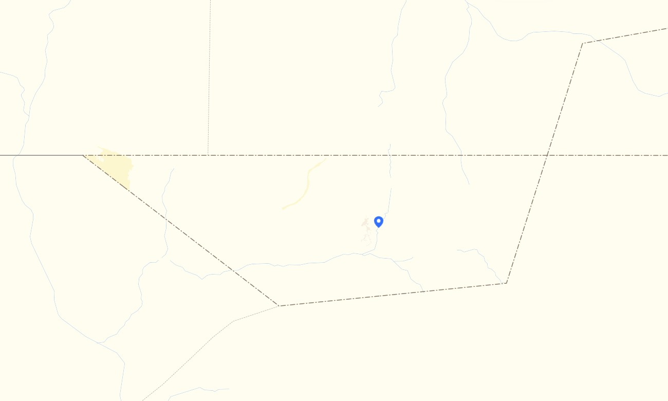
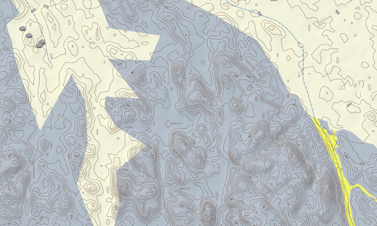
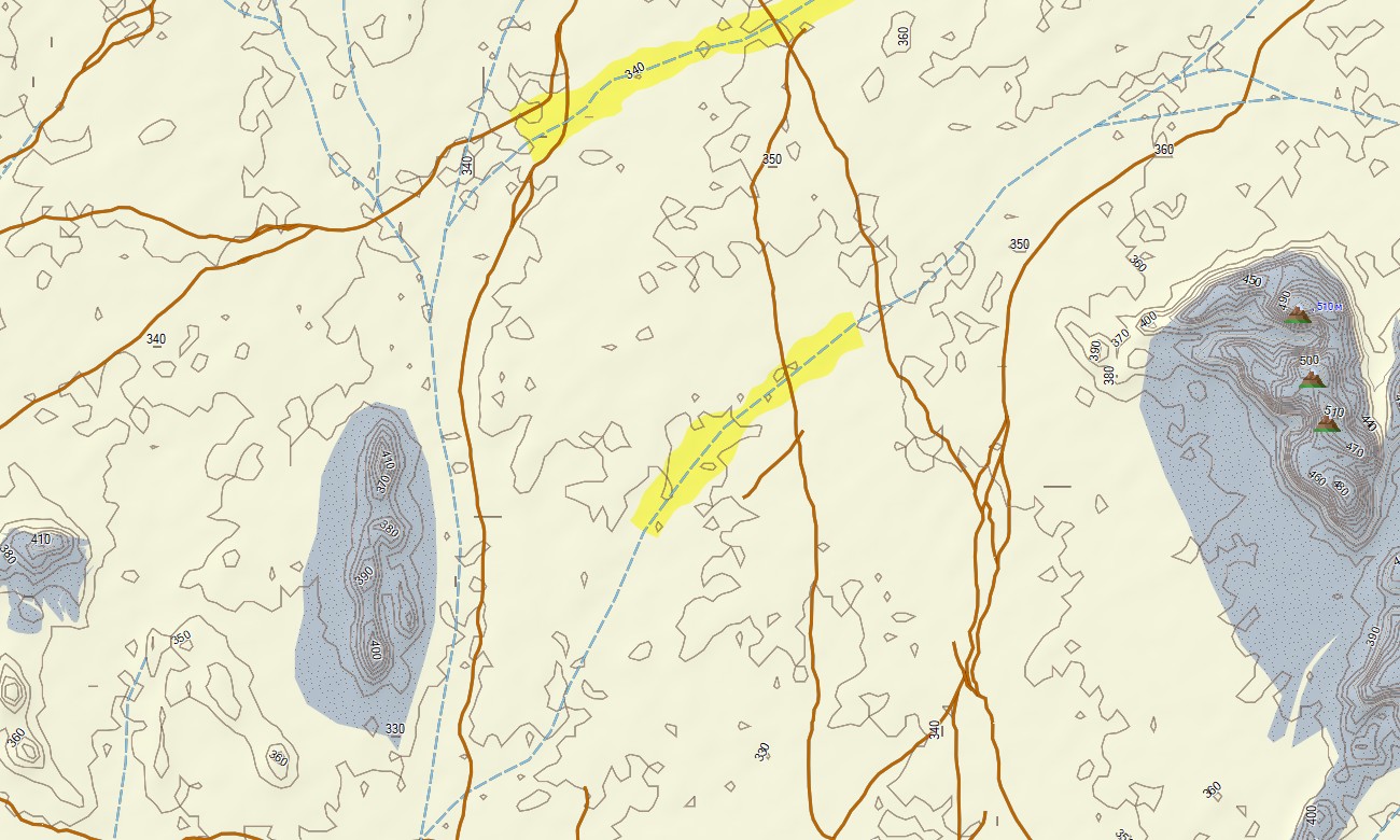
With topographic maps for Garmin, you can navigate one of the world’s most remote and untouched desert regions — Bir Tawil, the land between Egypt and Sudan known for its striking emptiness and raw natural beauty.
Whether you’re crossing vast sand plains, following faint desert tracks, or navigating near the rugged granite outcrops and dry valleys, this Garmin GPS map gives you the essential precision needed for safe travel through one of the harshest environments on Earth. Plan off-road expeditions and long desert crossings with full routing support directly on your Garmin map.
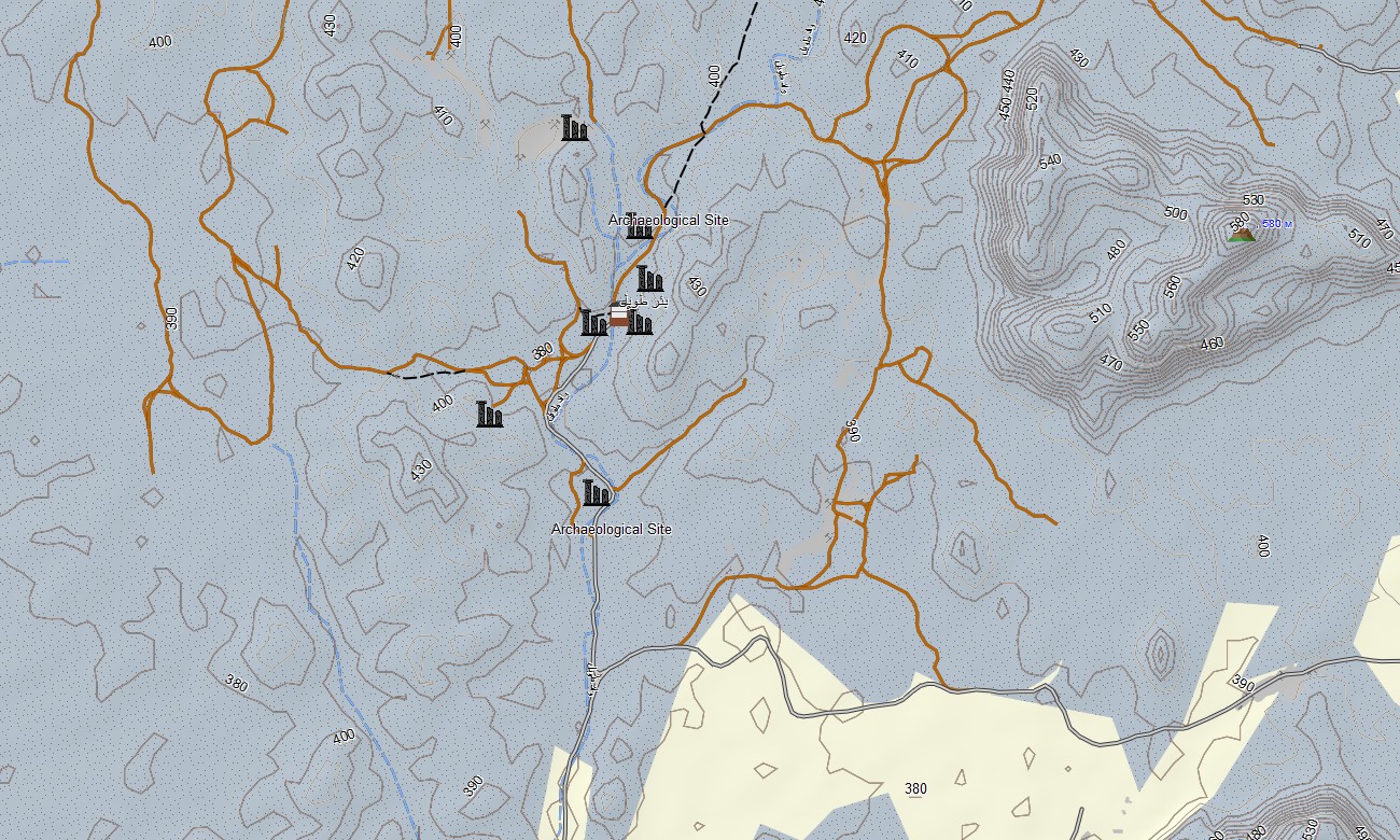
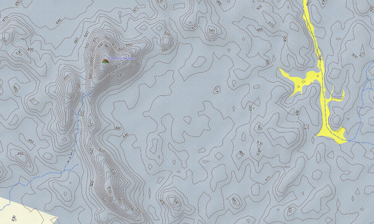
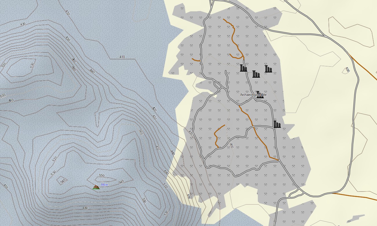
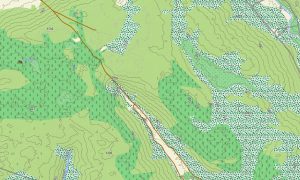
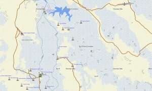
Delivered as an instant download, this download Garmin map transforms your device into a reliable navigation partner where no signs, villages or infrastructure exist. The Garmin map of Bir Tawil focuses on accuracy in a landscape defined by minimal human presence. It shows unpaved desert tracks, dry wadis, rock formations, elevation contours, dunes, bordering the region. These outdoor maps Garmin help you explore remote routes confidently, reach geological formations, and navigate safely across terrain where even experienced travelers rely heavily on their devices.
With built-in routing support, the OSM topo map lets you plan complete journeys directly on your device—whether following GPS-marked overland paths, navigating toward Sudanese or Egyptian border landmarks, or exploring isolated high points and desert plateaus. Your route remains dependable even without mobile signal, which Bir Tawil completely lacks.
This map includes key data layers: minimal road and track coverage where available, essential waypoints for overlanders, and detailed OSM topographic maps for desert navigation. After purchase, you receive an instant download link. Installation takes minutes, and regular updates keep your Garmin OSM maps reliable for every expedition into Bir Tawil’s silent, windswept expanse.
Key Features:
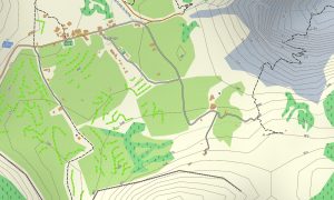
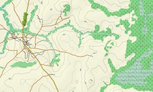
- Topo Garmin map of Bir Tawil with desert tracks, wadis, elevation contours, dunes, and rock outcrops
- Natural features such as sand plains, hills, dry valleys, dune fields
- Coverage of maximal road, tracks
- Routing support for driving, hiking
- Works completely offline – no internet connection required
- The map contains contours of heights
Only logged in customers who have purchased this product may leave a review.

Reviews
There are no reviews yet.