

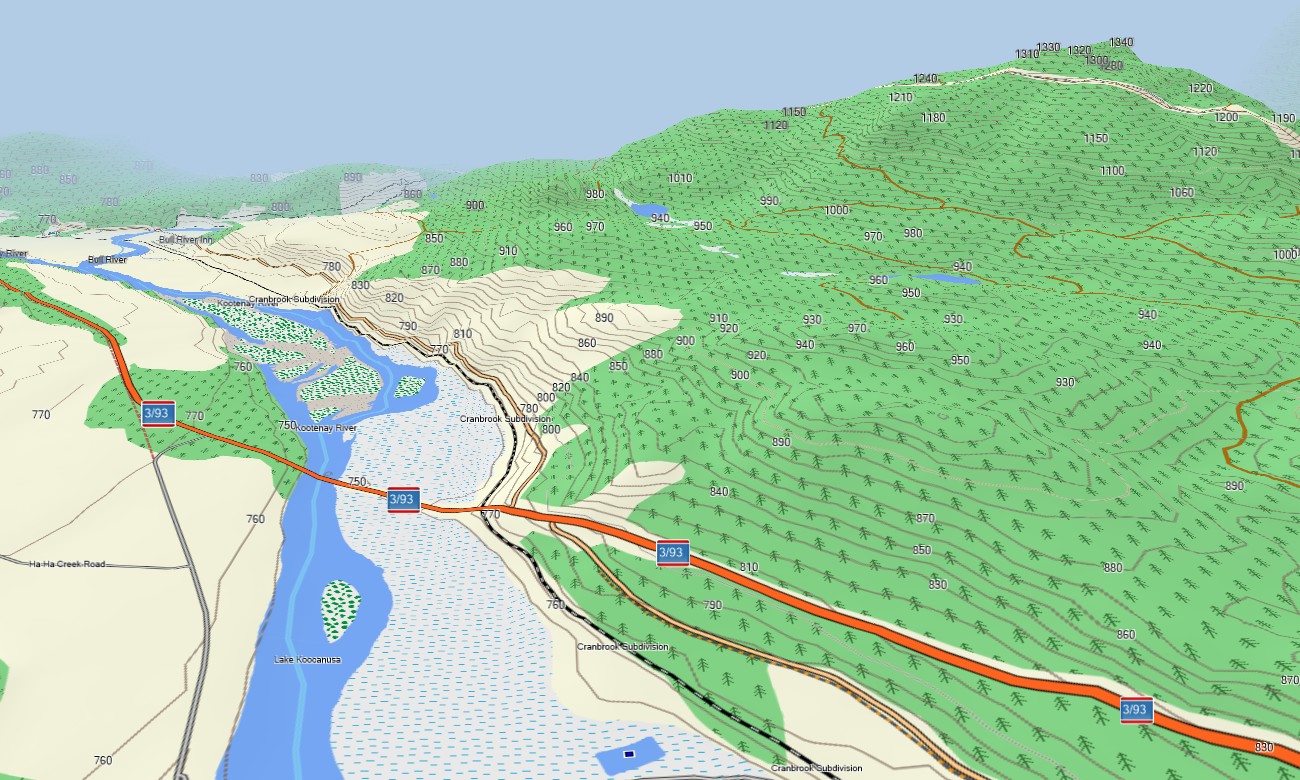
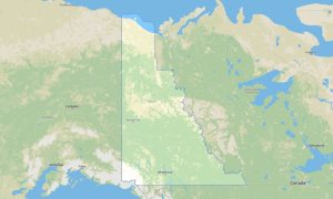
British Columbia Garmin topographic map
$25
British Columbia topo map for Garmin
British Columbia is a complex navigation region of Pacific coastline, islands, mountain ranges, rainforests, interior plateaus, ski towns, and remote wilderness roads. Detailed Garmin maps help users explore Vancouver, Victoria, Whistler, Vancouver Island, the Okanagan, Kootenays, Cariboo, and northern routes. A dependable Garmin GPS map is vital for offline travel where mountains and forests often limit mobile coverage.
This Garmin map is built for road trips, ferry travel, hiking, mountain biking, skiing access, camping, overlanding, and coastal exploration. As an OSM map tourist Garmin solution, it supports journeys along the Sea to Sky Highway, Inside Passage access points, Pacific Rim, Fraser Canyon, and backcountry recreation areas. These outdoor maps Garmin travelers depend on provide detail for both urban corridors and remote valleys.
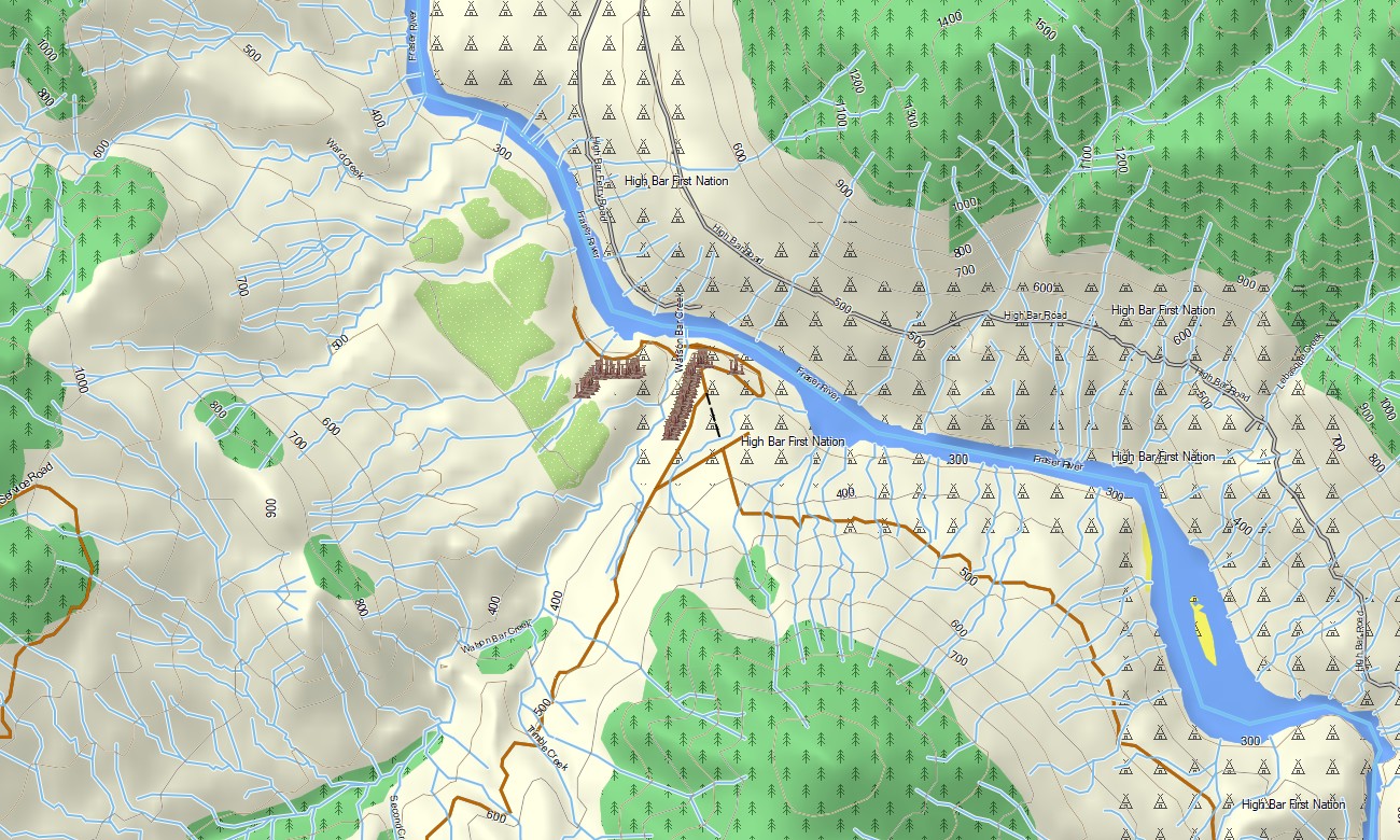
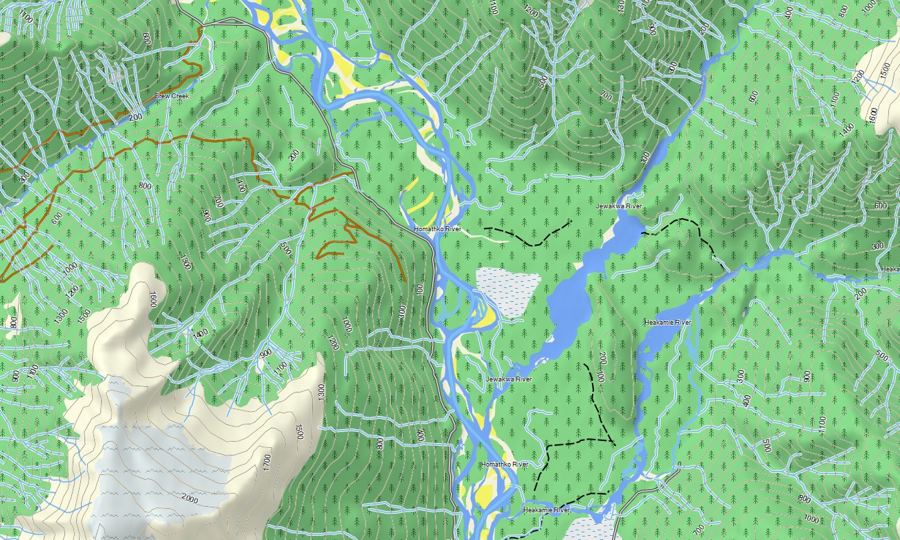
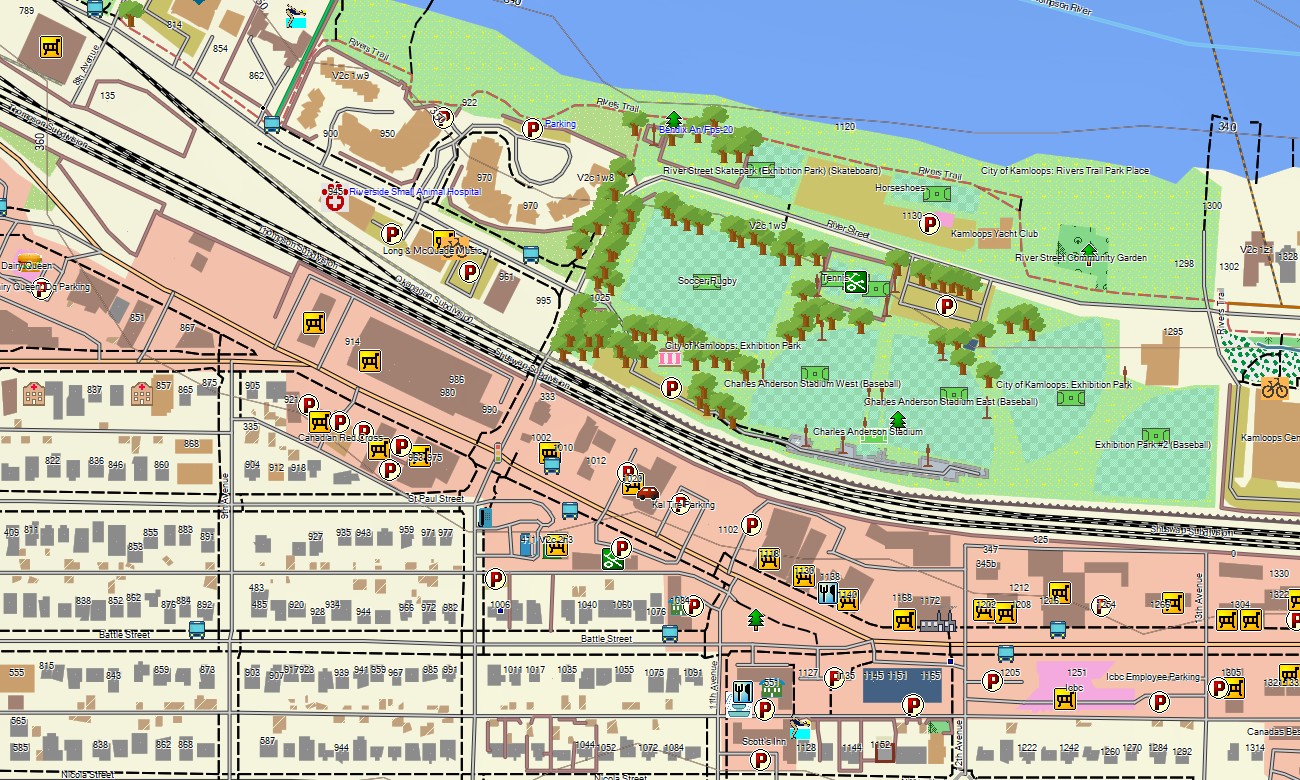
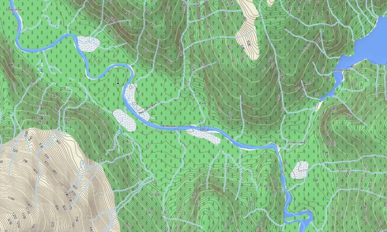
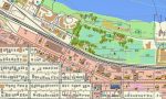
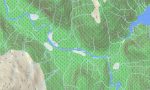
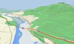
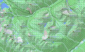
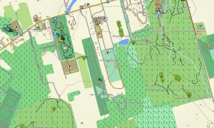
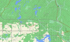
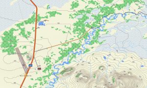
British Columbia’s topography includes steep mountains, glaciers, fjords, lakes, islands, rivers, coastal inlets, forests, and high desert. This Garmin GPS map operates as an OSM topo map with highways, local streets, forest service roads, trails, ferries, coastlines, rivers, lakes, and elevation contours. The OSM topographic maps help users evaluate terrain, elevation gain, access roads, and shoreline routes.
Maps for Garmin navigator devices are practical for navigating Vancouver, Victoria, Kelowna, Prince George, mountain passes, and long northern highways. A map for Garmin watch is useful for hikers, cyclists, runners, and skiers following trails and outdoor routes.
Built from open street maps Garmin compatible data and maintained within our Garmin OSM maps collection, this product combines transportation, outdoor, POI, hydrographic, and terrain layers. After purchase, customers can download Garmin map files for quick installation. These topographic maps for Garmin provide reliable offline guidance throughout British Columbia.
Key Features:
- Topographic maps for Garmin covering British Columbia with highways, city streets, forest service roads, trails, ferries, rivers, lakes, glaciers, coastline, islands, and elevation contours
- Natural features include the Coast Mountains, Rocky Mountains, Vancouver Island, Pacific coastline, Fraser River, Okanagan Valley, Kootenay ranges, rainforests, fjords, and interior plateaus
- Road coverage includes Trans-Canada routes, scenic highways, mountain passes, urban streets, rural roads, park roads, and backcountry access routes
- Points of interest include ferry terminals, campgrounds, trailheads, viewpoints, ski resorts, hot springs, marinas, waterfalls, historic sites, and protected areas
- Routing support helps compatible Garmin devices handle touring, outdoor access, and long-distance navigation
Only logged in customers who have purchased this product may leave a review.
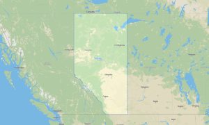
Reviews
There are no reviews yet.