
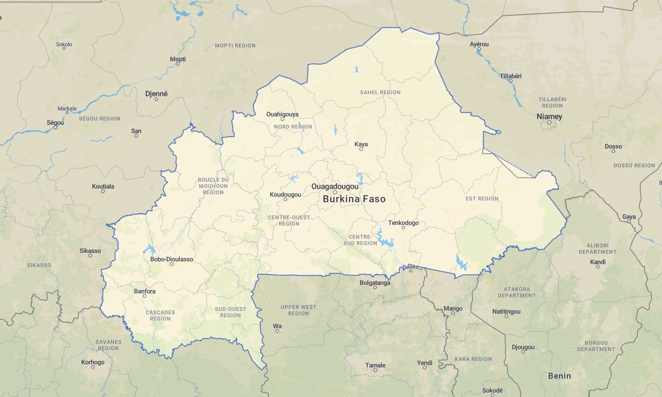
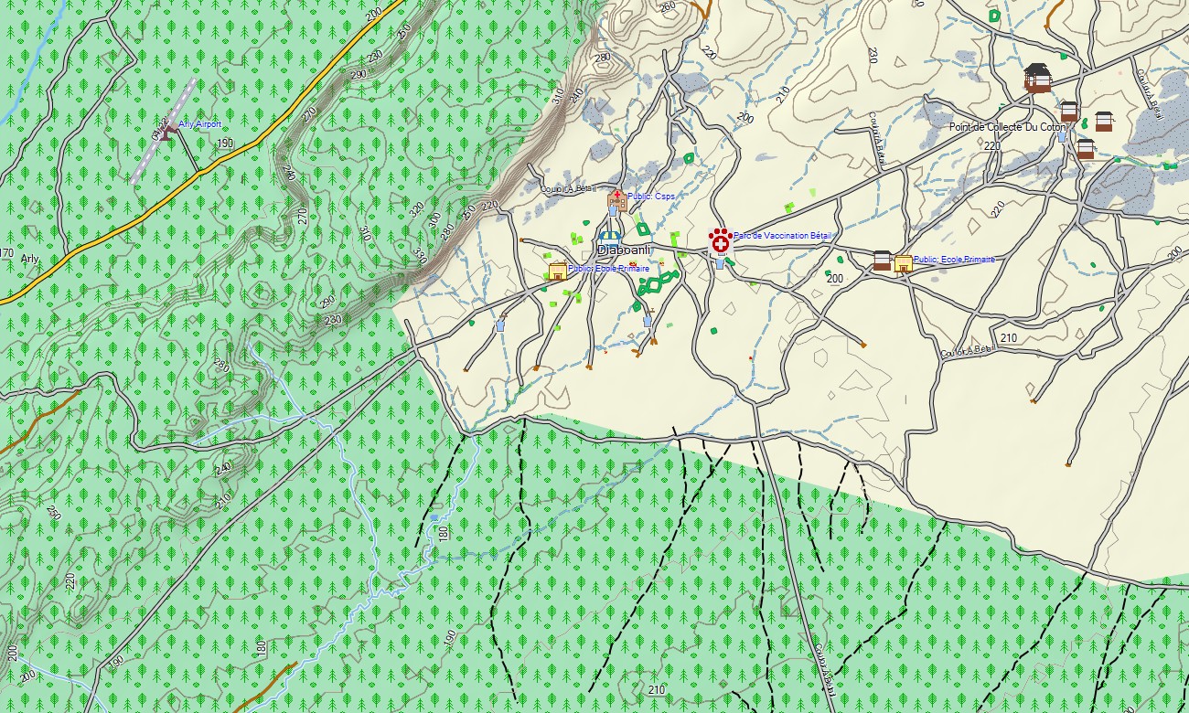
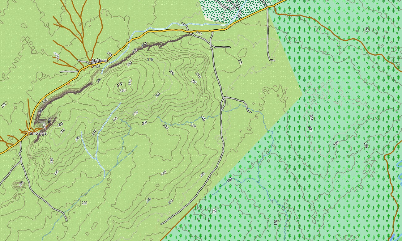
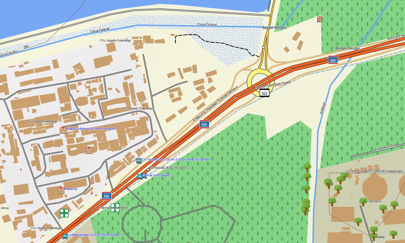
Burkina Faso Garmin topographic map
$29
Burkina Faso topo map for Garmin
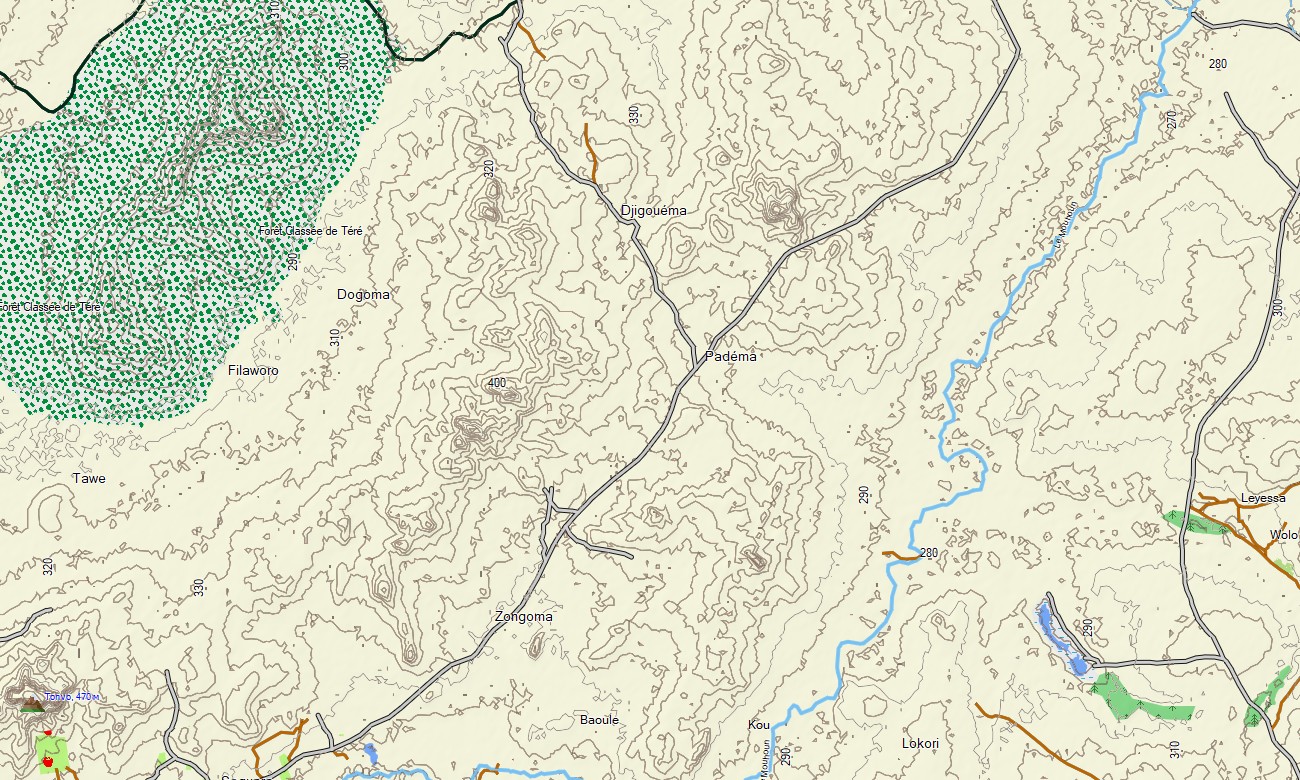
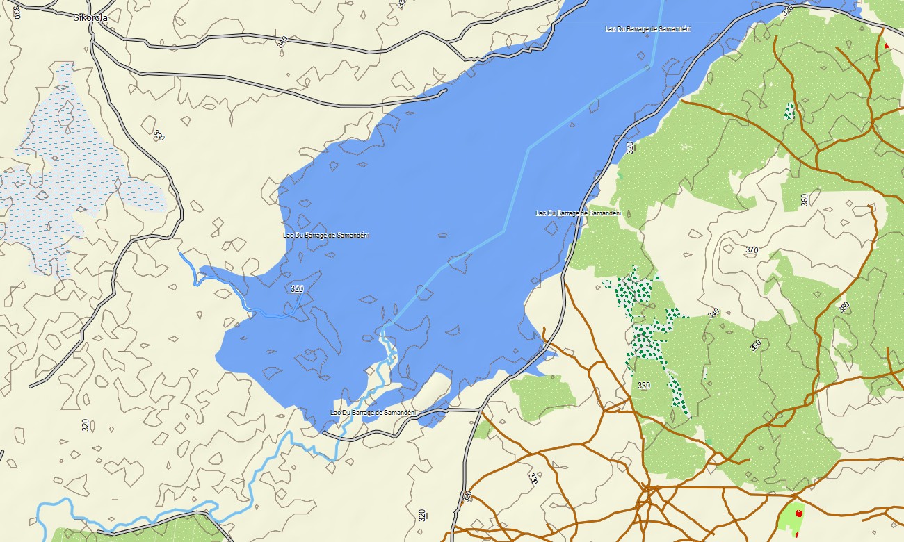
The Garmin gps map of Burkina Faso is specifically designed for those who want to explore the most fascinating corners of this African country. With Garmin maps, you’ll confidently navigate unfamiliar terrains. Besides automotive roads and towns, it includes important natural objects and a complete topographic important of the area, from fertile savannas to arid rocky plateaus.
Organize memorable road trips, mountain hikes, or cycling tours and follow them offline with full routing support. Delivered instantly and updated regularly, this map turns your Garmin into a companion for any trips and hikes in Burkina Faso.
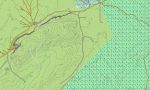
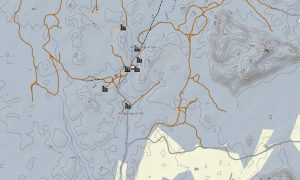
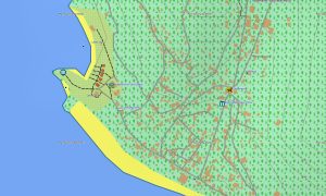
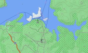
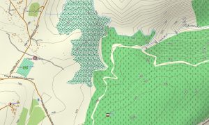
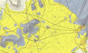
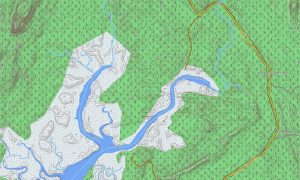
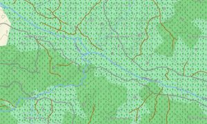
Traveling through Burkina Faso with Garmin osm maps opens up endless horizons of savannas and picturesque river bends. The Garmin map of Burkina-Faso offers full topographic detail information that goes far beyond standard road navigation. It shows hiking trails, small rivers, lakes, elevation contours, as well as natural features such as forests, savannas, semi-deserts, and mountain landscapes. All this allows you to create optimal routes and fully experience the spirit of African nature while maintaining confidence and safety throughout your journey with topographic maps for Garmin.
With built-in routing, the map lets you plan complete journeys directly on your device — from road trips between cities to hiking routes in the mountains or cycling tours through rural areas. Accurate itineraries can be created and followed confidently, even without internet access.
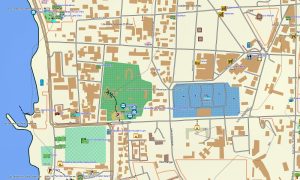
The package combines several layers: full road coverage for intercity and regional travel, detailed street navigation for towns and cities, and comprehensive topo data for off-road exploration. After purchase, you receive an instant download link, installation takes only minutes, and regular updates keep your map accurate and reliable.
Key Features:
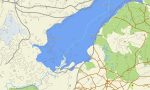
- Topographic Garmin map of Burkina Faso with roads, unpaved roads, trails, rivers, lakes, elevation contours
- Natural features such as savannas, semi-deserts, mountains, forests
- Points of Interest: places of worship, waterfalls, ancient ruin
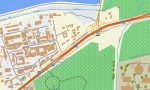
- Full coverage of highways, regional routes, and detailed urban streets
- Routing support for driving, hiking, and cycling trips
- Works fully offline — no internet connection required
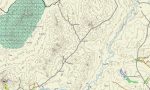
- The map contains contours of heights
Only logged in customers who have purchased this product may leave a review.
Reviews
There are no reviews yet.