
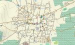
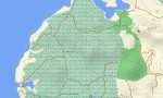
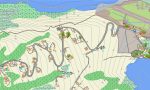
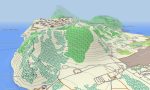
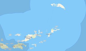
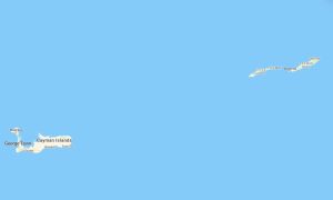
Caribbean Netherlands Garmin topographic map
$22
Caribbean Netherlands topo map for Garmin
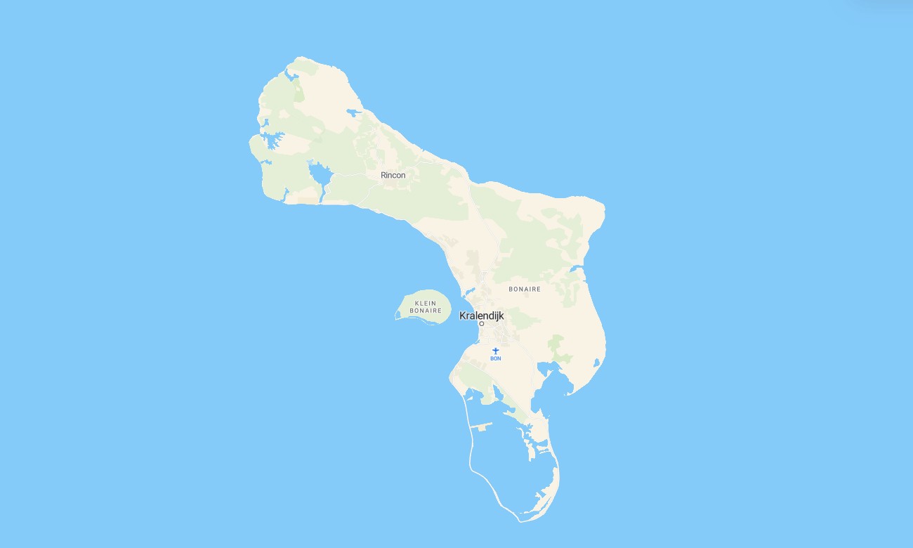
Navigate the unique islands of the Caribbean Netherlands with this detailed topographic Garmin map designed for exploring Bonaire, Sint Eustatius, and Saba. This comprehensive solution provides reliable navigation from coastal lowlands to volcanic peaks, supporting your discovery of this distinct Caribbean region.
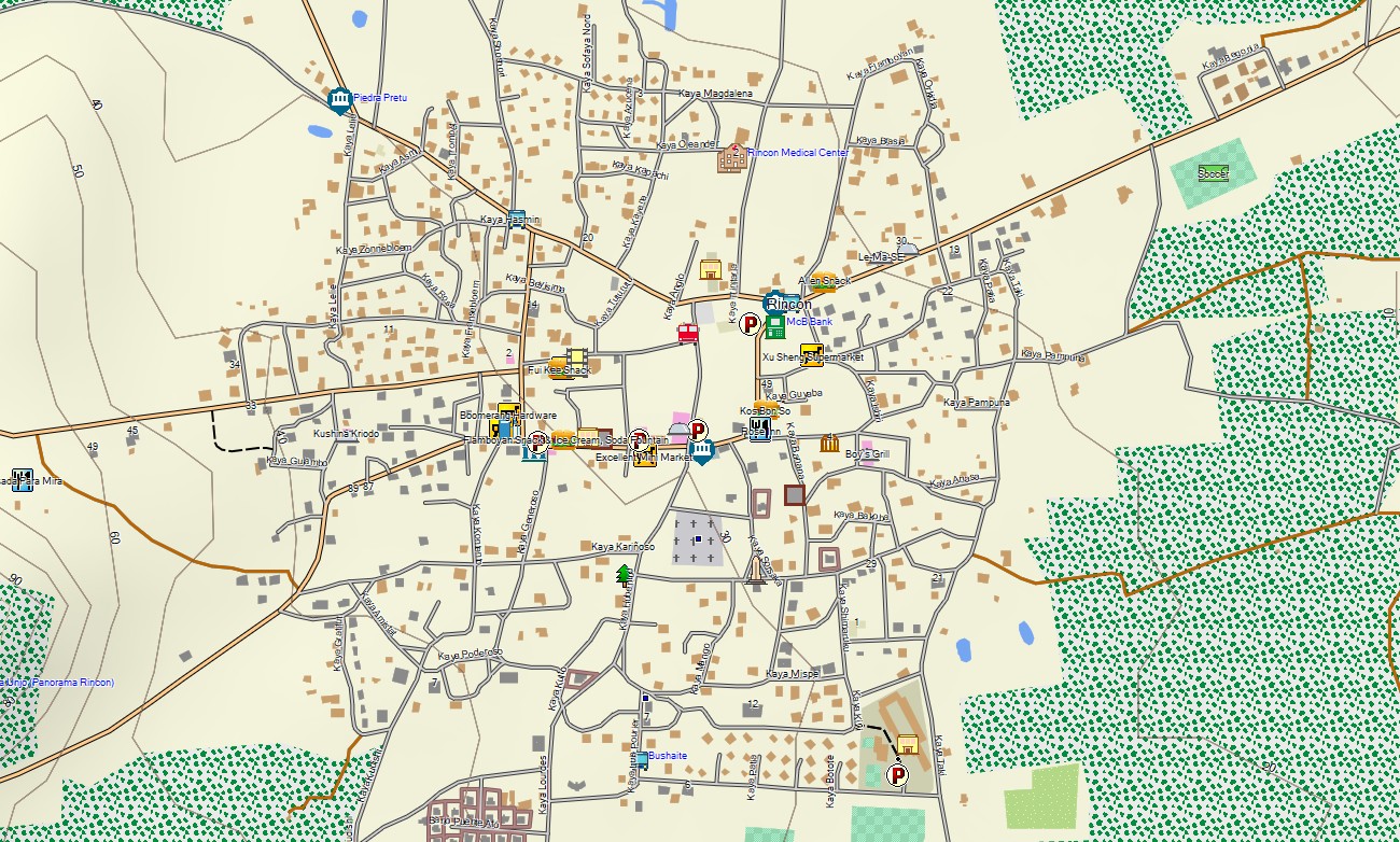
This OpenStreetMap Garmin product is built for both driving tours and hiking adventures. The Garmin GPS map uses enhanced OSM data for navigation in towns like Kralendijk and Oranjestad, on island roads, and across rugged trails. These outdoor maps Garmin users need work offline and offer instant download with regular updates included. They are optimized for handheld GPS devices, Garmin navigators and as a map for Garmin watches.
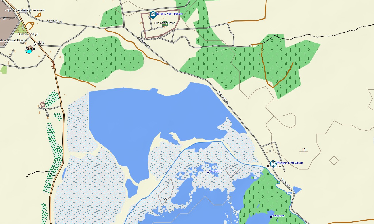
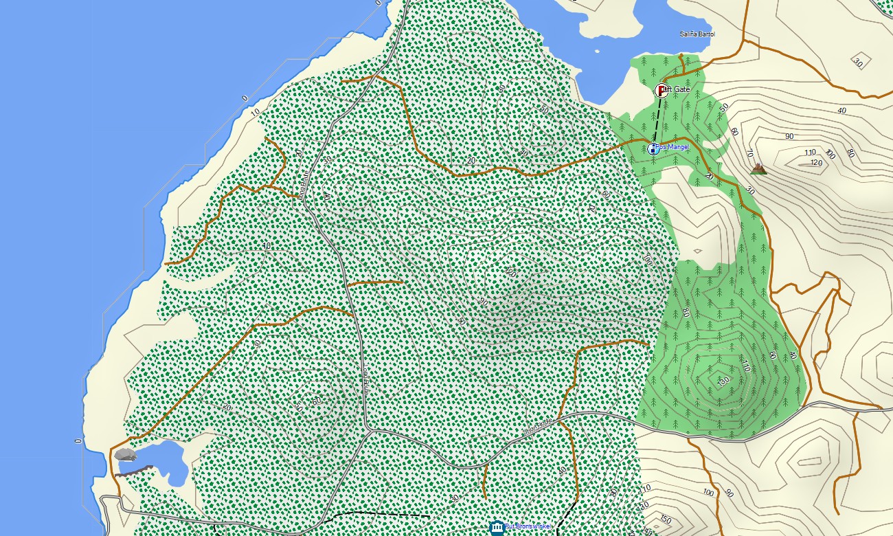
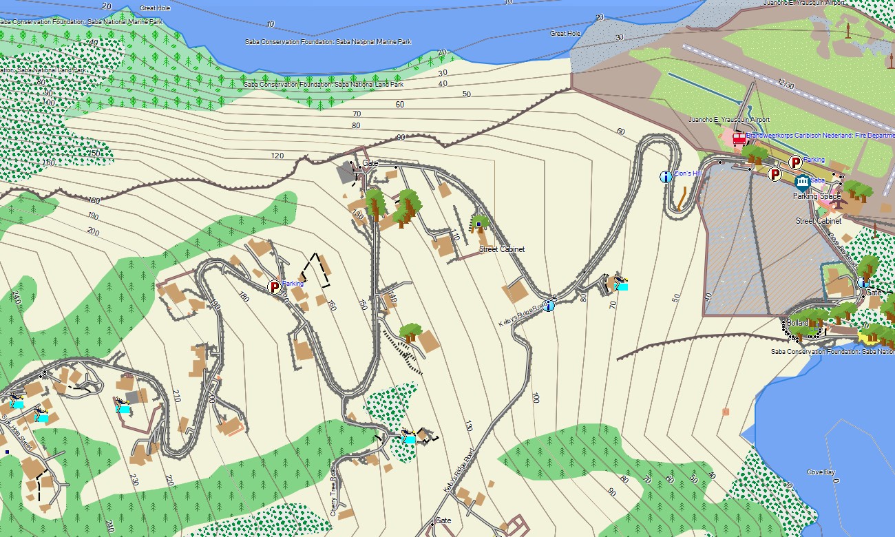
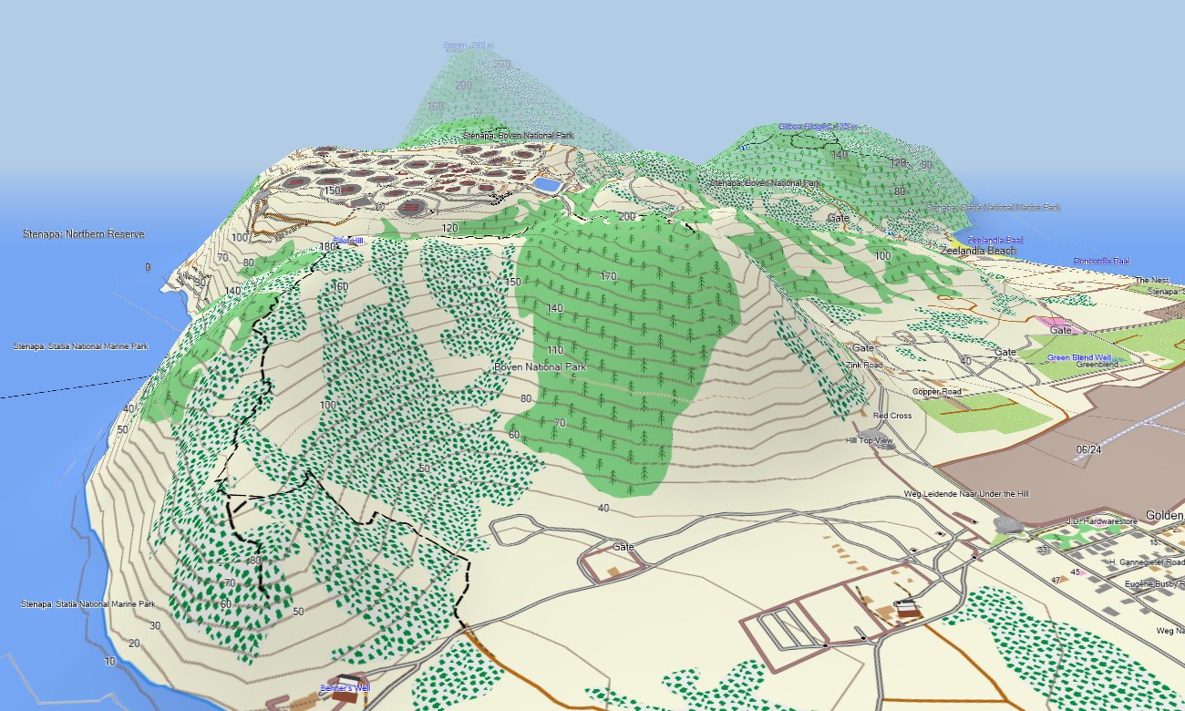
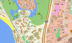
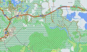
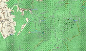
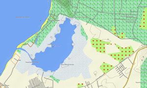
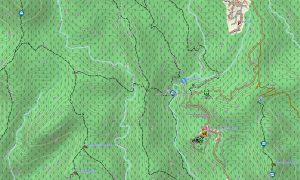
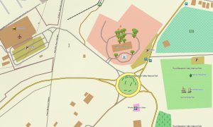
This detailed Garmin map serves as a precise OSM topo map, charting paved roads, dirt tracks, hiking paths, coastlines, bays, salt pans, and elevation contours. It clearly displays key natural features like coral reefs, volcanic hills, cliffs, salinas, and mangrove forests. The high detail of these topographic maps for Garmin is invaluable for exploring the diverse landscapes across the three islands.
With integrated routing, these maps for Garmin navigator devices enable planning and turn-by-turn guidance directly on your GPS unit. Whether driving around Bonaire’s shoreline, navigating Saba’s steep roads, or hiking the Quill volcano, this Garmin map provides constant orientation without needing mobile data.
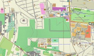
The map features multiple layers: complete road networks for island travel, detailed street data for settlements, and rich topographic information for off-road excursions. You get immediate access after purchase, installation is quick and simple, and your download Garmin map is maintained with ongoing updates for lasting accuracy.
Key Features:
- Topographic maps for Garmin covering Bonaire, Sint Eustatius, and Saba with roads, trails, coastlines, water features, and contour lines
- Natural features such as coral reefs, volcanic formations, cliffs, coastal salinas, hills, and mangrove areas
- Points of interest: urban infrastructure, historical ruins, lighthouses, peaks, viewpoints, ports, beaches, cultural landmarks, water towers, monuments and old town districts
- Complete road coverage including main highways, local routes, urban streets, and remote tracks
- Routing support for vehicle and long-distance travel on these maps for Garmin navigator devices
- Full detail of highways, regional roads, and town streets across all three islands
- Compatibility with handheld GPS units, automotive devices, and supported as a map for Garmin watch models
Only logged in customers who have purchased this product may leave a review.
Reviews
There are no reviews yet.