

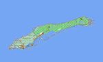
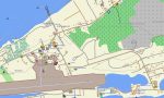
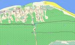
Cayman Islands Garmin topographic map
$22
Cayman Islands topo map for Garmin
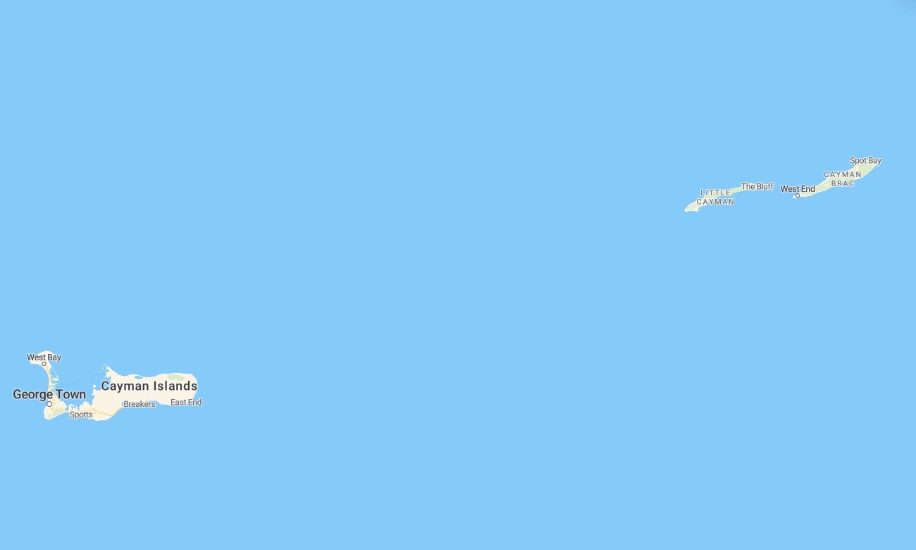
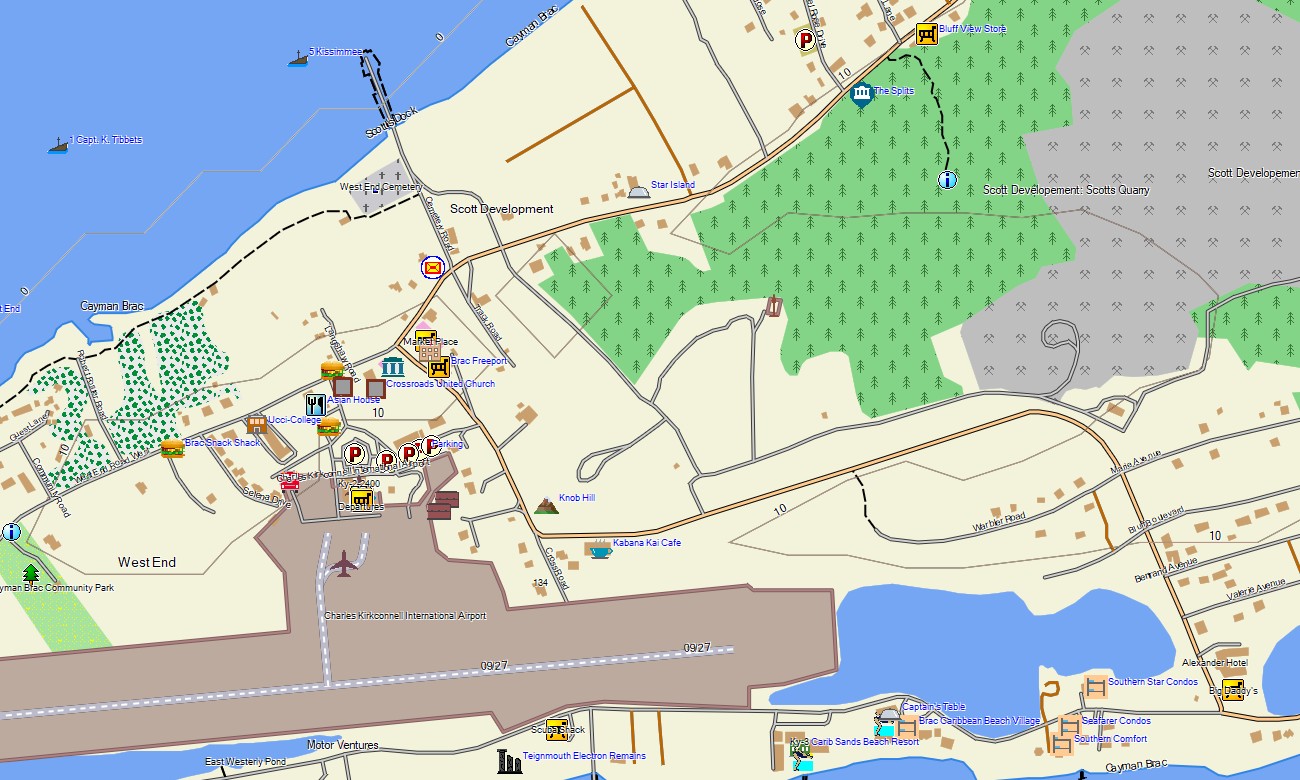
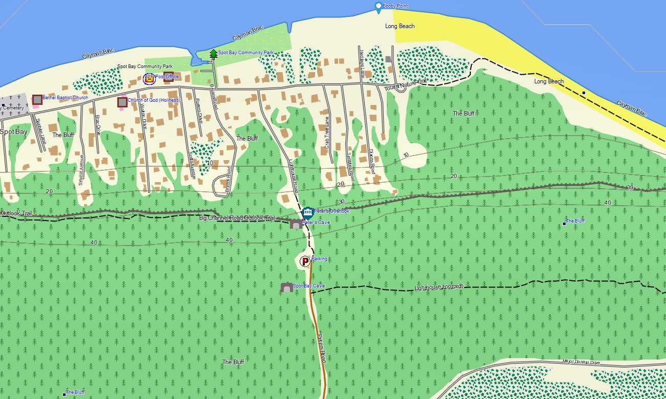
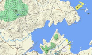
Discover the Cayman Islands with a precise Garmin topographic map, your ideal guide for transitioning seamlessly from metropolitan hubs to pristine coastal landscapes.This reliable Garmin GPS map covers Grand Cayman, Cayman Brac, and Little Cayman, guiding you from George Town’s streets to remote bluff trails and shorelines, ensuring confident exploration across the archipelago.
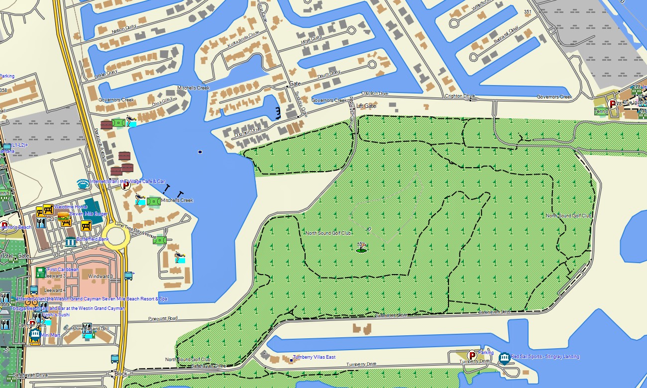
Ideal for scenic drives and coastal walks, this OSM map tourist Garmin solution uses enriched OpenStreetMap data for navigation along the Seven Mile Beach corridor, across the islands’ road networks, and to secluded spots. These outdoor maps Garmin users rely on function completely offline. An instant download with regular updates included makes this a current and trusted resource for handheld GPS, car systems, and compatible Garmin watch models.
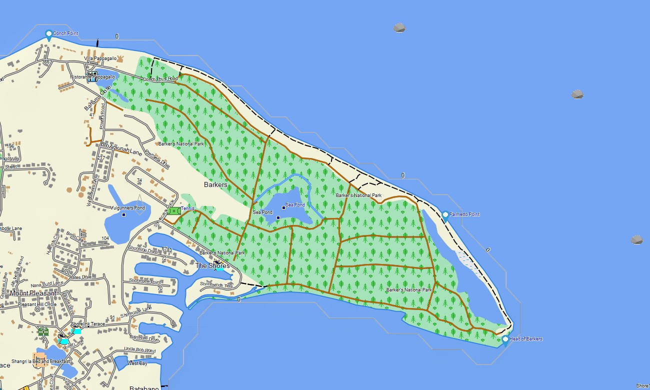
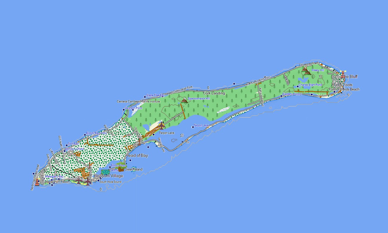
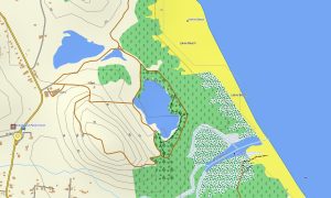
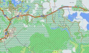
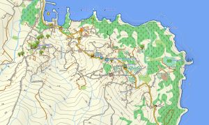
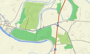
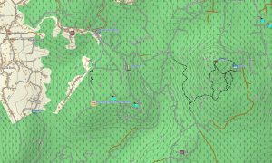
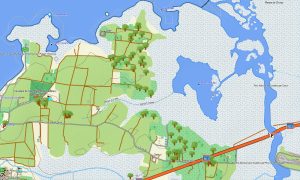
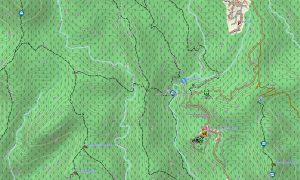
Acting as a detailed OSM topo map, this Garmin GPS map details highways, local roads, unpaved tracks, footpaths, coastlines, lagoons, and depth contours. It vividly represents the islands’ defining natural features like coral reefs, limestone bluffs, mangrove channels, and sandy beaches. The clarity of these topographic maps for Garmin is essential for safe travel and discovering the unique terrain of all three islands.
The built-in routing feature in these maps for Garmin navigator devices allows for easy planning and turn-by-turn navigation on your GPS screen. Whether driving across Grand Cayman, exploring the bluff on Cayman Brac, or finding dive sites around Little Cayman, this Garmin map delivers uninterrupted guidance independent of an internet connection.
This product combines several data layers: comprehensive road coverage for island-hopping trips, detailed urban mapping for towns, and thorough topographic information for coastal and inland exploration. You receive immediate access via a download link post-purchase, setup is straightforward, and consistent updates ensure your Garmin map remains a dependable tool.
Key Features:
- Topographic maps for Garmin covering the Cayman Islands with roads, paths, coastlines, lagoons, reefs, and contour information
- Natural features such as coral reef systems, limestone cliffs, mangrove forests, sandy beaches, and coastal bays
- Points of interest: urban infrastructure, historical sites, shipwrecks, viewpoints, ports, beaches, cultural landmarks, lighthouses, monuments, and old town areas
- Complete road coverage including highways, main thoroughfares, local streets, and access tracks
- Routing support for driving and navigation on these maps for Garmin navigator devices
- Full detail of the road network and street layouts across Grand Cayman, Cayman Brac, and Little Cayman
- Compatibility with handheld GPS units, in-vehicle navigators, and supported as a map for Garmin watch models
Only logged in customers who have purchased this product may leave a review.
Reviews
There are no reviews yet.