

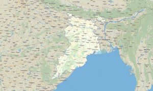
Central India Garmin topographic map
$29
Central India topo map for Garmin
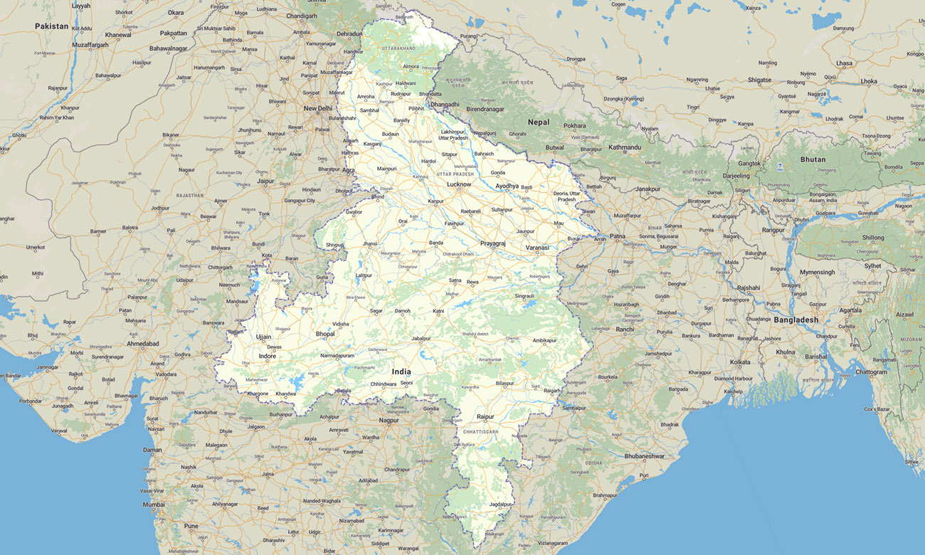
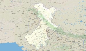
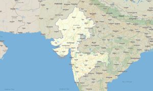
The map includes Madhya Pradesh, Uttar Pradesh, Uttarakhand, and Chhattisgarh. This Garmin map is designed for travelers exploring central plains, forested plateaus, sacred rivers, mountain foothills, wildlife reserves, and historic cities.
This Garmin GPS map supports journeys through Bhopal, Lucknow, Varanasi, Raipur, Dehradun, Haridwar, Kanpur, Gwalior, and surrounding districts. It is a practical choice for road navigation, pilgrimage travel, trekking approaches, national park visits, and rural touring.
Created as an OSM map tourist Garmin product, it helps users move confidently across dense settlement zones and remote forest regions. These outdoor maps Garmin travelers use offline are valuable where mobile coverage is unstable, especially in hills, reserves, and less-developed rural areas.
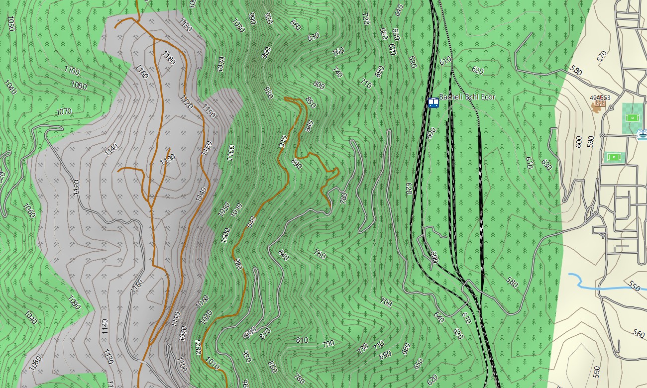
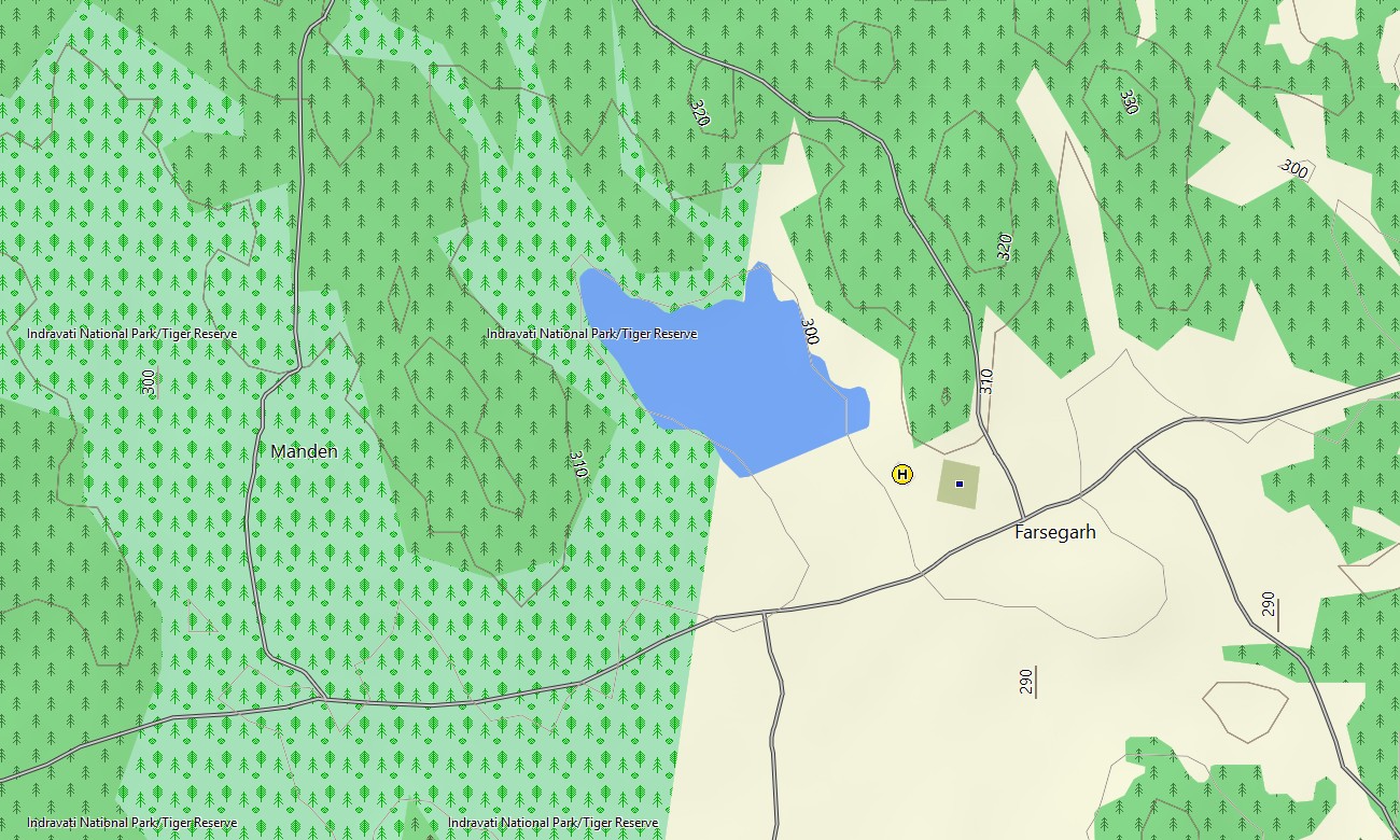
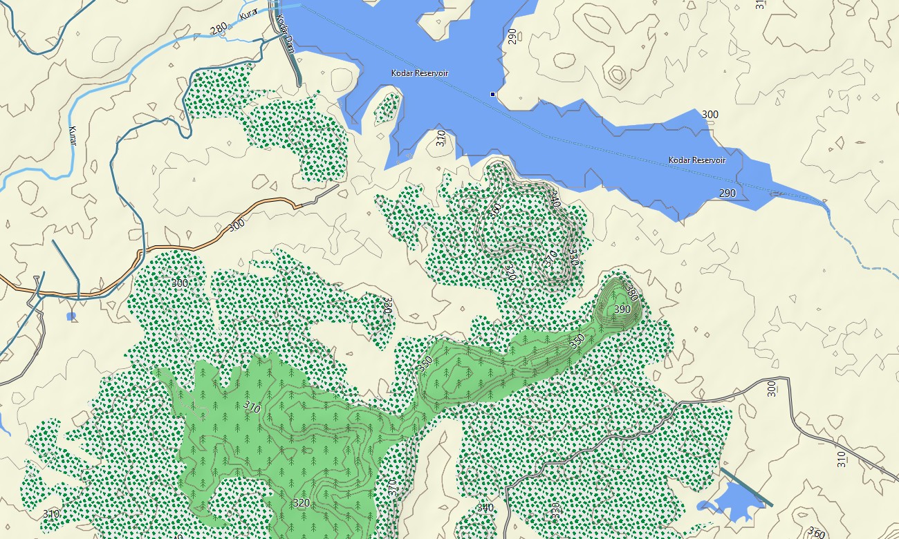
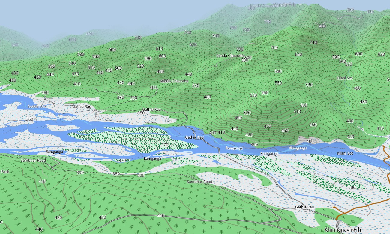
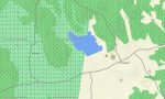
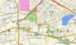
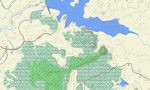
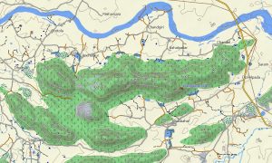
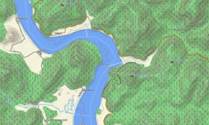
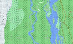
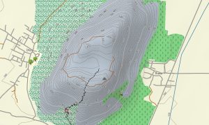
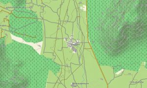
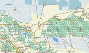
The map works as an OSM topo map with detailed terrain layers, open street maps Garmin road data, water features, tracks, paths, and contour information. It shows the Ganges plains, Himalayan foothills of Uttarakhand, Vindhya and Satpura ranges, Chhattisgarh forests, reservoirs, rivers, and agricultural landscapes.
For compatible devices, these maps for Garmin navigator systems provide route planning and turn-by-turn support. If you need Garmin OSM maps, a download Garmin map, an OSM topographic maps product, or topographic maps for Garmin travel in Central India, this regional map offers strong offline coverage.
Key Features:
- Topographic maps for Garmin covering Central India with roads, tracks, trails, rivers, reservoirs, forests, settlements, hills, valleys, and elevation contours
- Natural features include the Ganges basin, Himalayan foothills, Satpura and Vindhya ranges, forest plateaus, waterfalls, grasslands, river valleys, and lakes
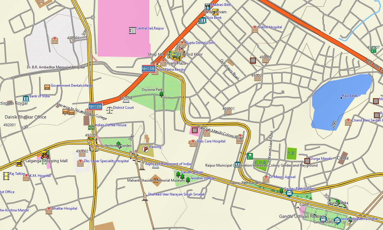
- Road data includes national highways, state routes, urban streets, rural roads, pilgrimage corridors, mountain approach roads, and forest access tracks
- Points of interest include temples, ghats, forts, archaeological sites, caves, wildlife parks, viewpoints, dams, railway stations, airports, and cultural landmarks
- Routing support helps compatible Garmin GPS map devices plan driving routes, intercity travel, local touring, and navigation through complex road networks
- Suitable for handheld GPS units, automotive Garmin devices, outdoor GPS receivers, and selected devices using a map for Garmin watch
Only logged in customers who have purchased this product may leave a review.
Reviews
There are no reviews yet.