
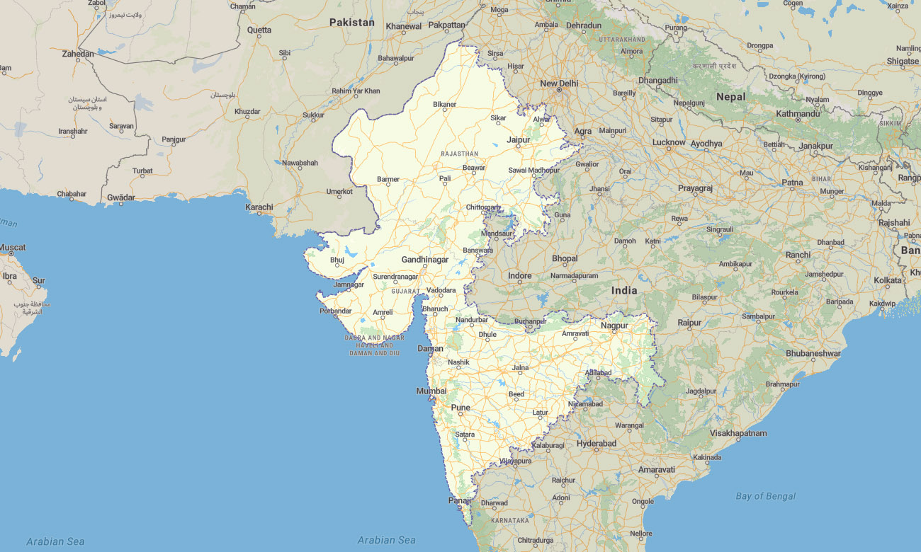



Western India Garmin topographic map
$29
Western India topo map for Garmin
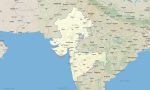
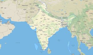
The map includes Gujarat, Maharashtra, Goa, and Dadra and Nagar Haveli and Daman and Diu. This Garmin map is ideal for navigating coastal highways, urban megacities, historic ports, desert edges, hill stations, beaches, and industrial regions.
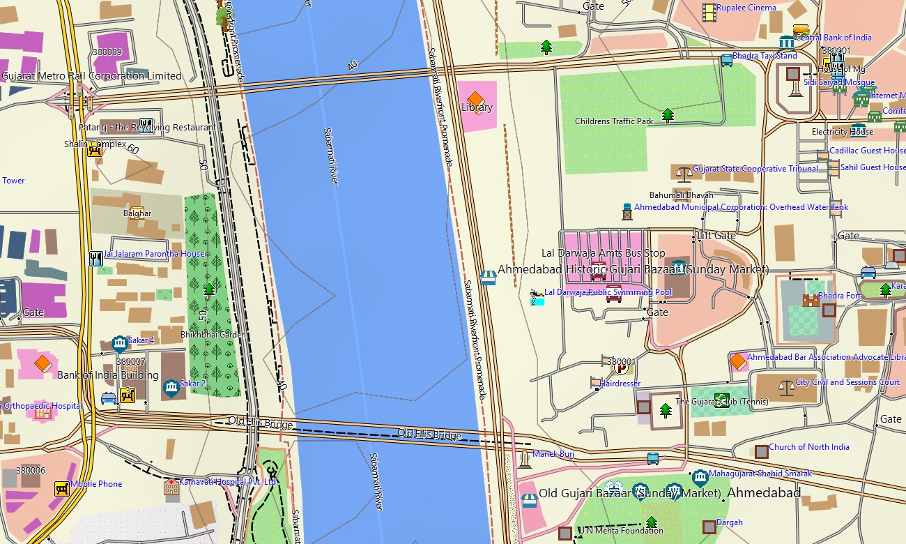
This Garmin GPS map offers coverage for Mumbai, Pune, Ahmedabad, Surat, Vadodara, Panaji, Nashik, Nagpur, Daman, Diu, and surrounding districts. It is made for road trips, business travel, beach holidays, heritage tourism, trekking, and offline navigation across a highly diverse western region.
Developed as an OSM map tourist Garmin product, it combines practical routing data with rich terrain context. These outdoor maps Garmin users can download and use offline are especially useful on coastal roads, plateau routes, rural highways, and hill areas.
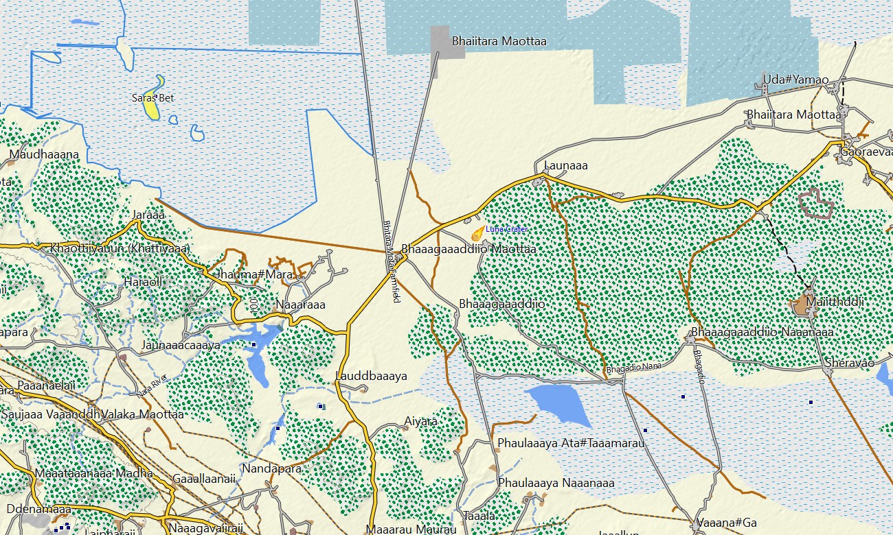
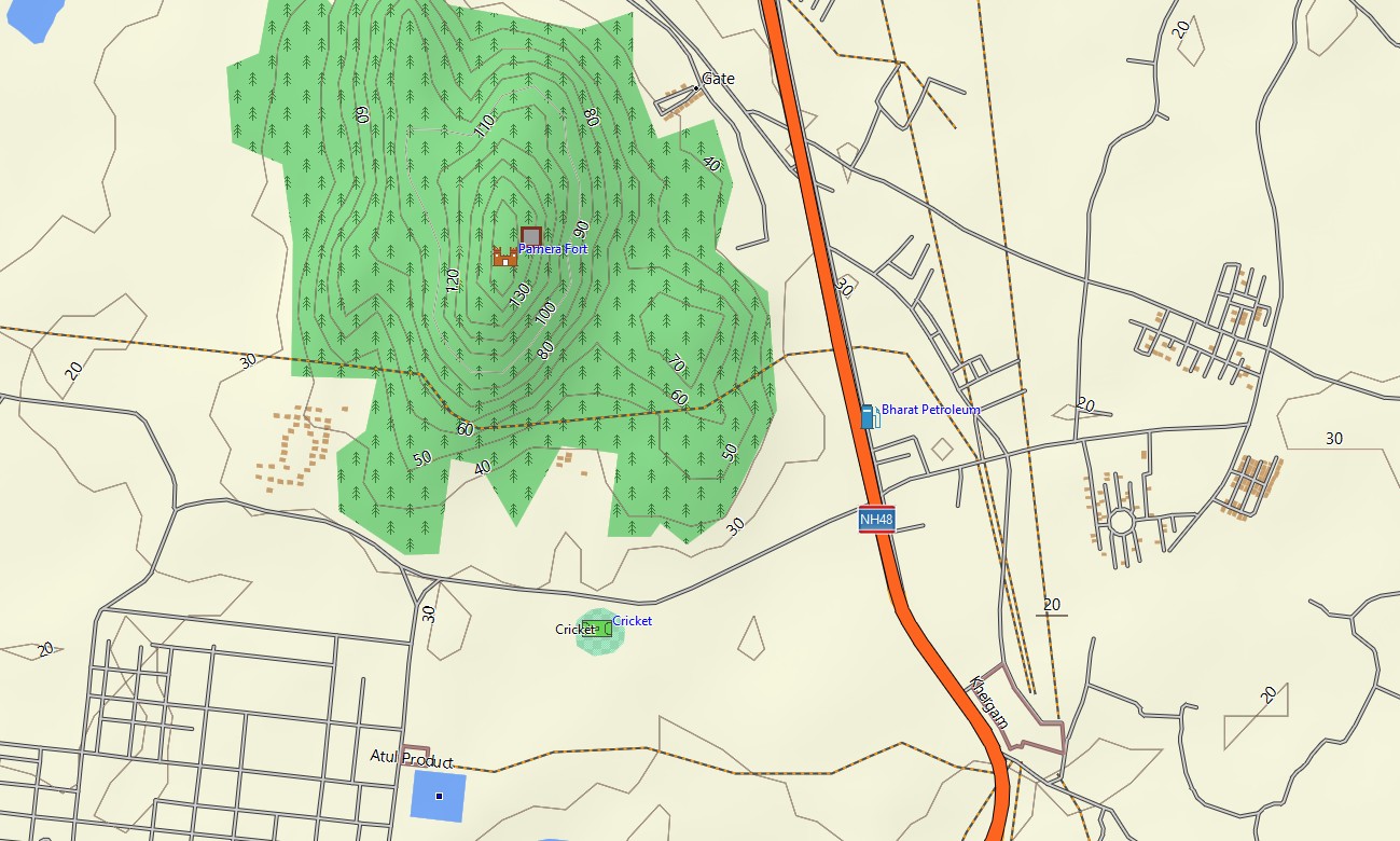
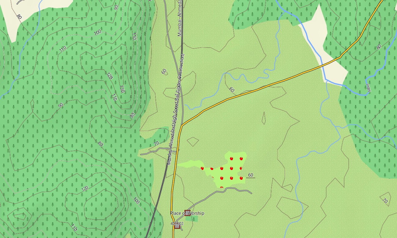
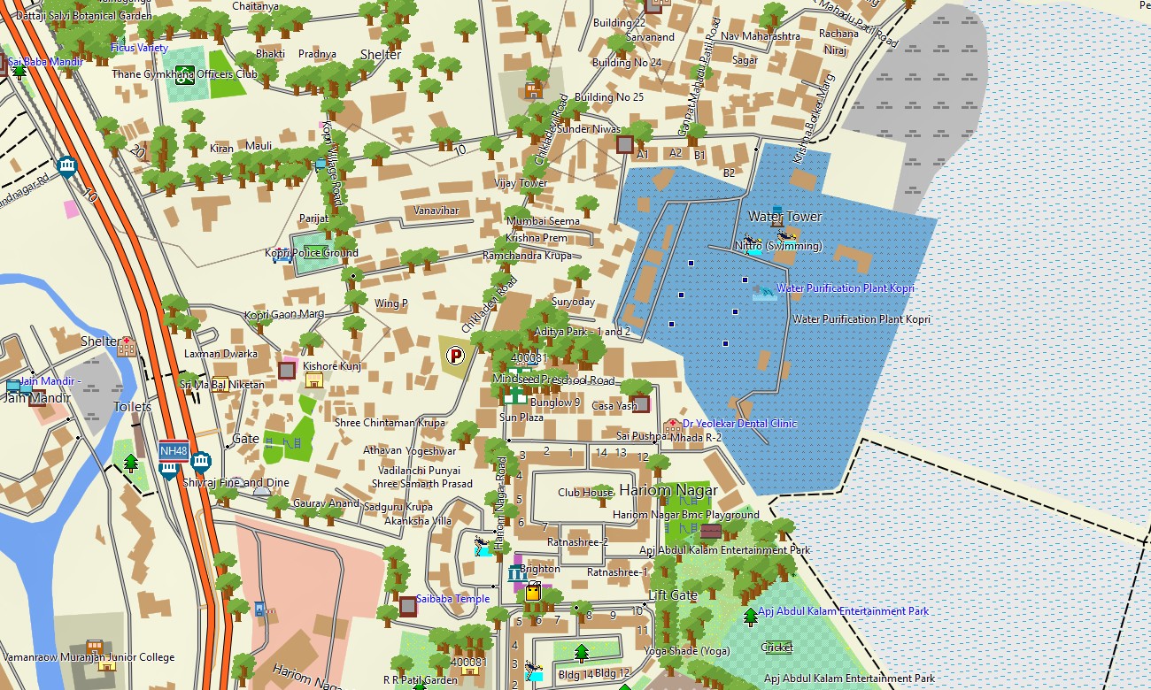
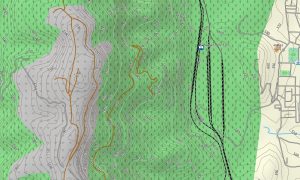
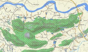
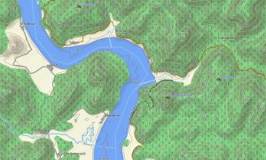
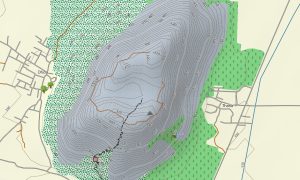
The map works as a detailed OSM topo map using open street maps Garmin compatible data, elevation contours, roads, trails, rivers, lakes, coastlines, and urban layers. It represents the Western Ghats, Konkan coast, Rann of Kutch, Deccan Plateau, island areas, estuaries, forests, and important tourism corridors.
With routing support, these maps for Garmin navigator devices help users plan drives between cities, resorts, industrial zones, and mountain destinations. For anyone searching for Garmin maps, Garmin OSM maps, download Garmin map options, OSM topographic maps, or topographic maps for Garmin in Western India, this product provides reliable offline coverage.
Key Features:
- Topographic maps for Garmin covering Western India with highways, expressways, urban streets, rural roads, tracks, trails, coastlines, rivers, and contours
- Natural features include the Western Ghats, Konkan coast, Rann of Kutch, Deccan Plateau, beaches, forests, estuaries, hills, and island coastlines
- Road coverage includes expressways, national highways, state roads, city streets, industrial corridors, rural connections, coastal routes, and hill-station access roads
- Points of interest include forts, temples, beaches, ports, lighthouses, viewpoints, caves, vineyards, wildlife sanctuaries, airports, monuments, and tourist facilities
- Routing support helps compatible Garmin GPS map devices with intercity driving, coastal touring, urban navigation, and long-distance route planning
- Suitable for handheld GPS devices, automotive Garmin navigators, outdoor receivers, and selected models used as a map for Garmin watch
Only logged in customers who have purchased this product may leave a review.
Reviews
There are no reviews yet.