
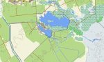
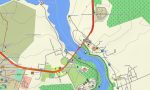
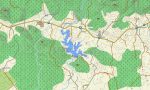
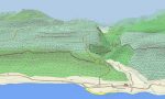
Cuba Garmin topographic map
$29
Cuba topo map for Garmin
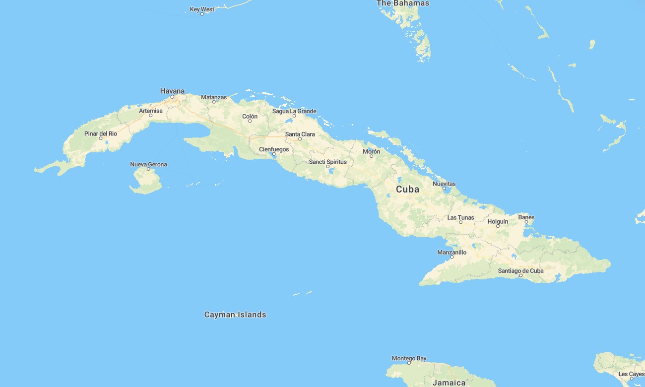
Embark on an unforgettable journey across Cuba with this detailed topographic Garmin map, crafted to navigate you from vibrant city streets to serene tobacco valleys. This essential Garmin GPS map covers the entire island, providing reliable guidance through historic colonial towns, along scenic coastlines, and across the rugged Sierra Maestra mountains for a complete exploration experience.
Designed for both long-distance drives and cultural walking tours, this OSM map tourist Garmin solution leverages enhanced OpenStreetMap data. It supports navigation in Havana’s complex layout, on the Carretera Central highway, and through remote agricultural tracks. These outdoor maps Garmin travelers depend on work entirely offline and come with an instant download with regular updates included, ensuring compatibility with handheld GPS units, car navigators, and as a map for Garmin watch.
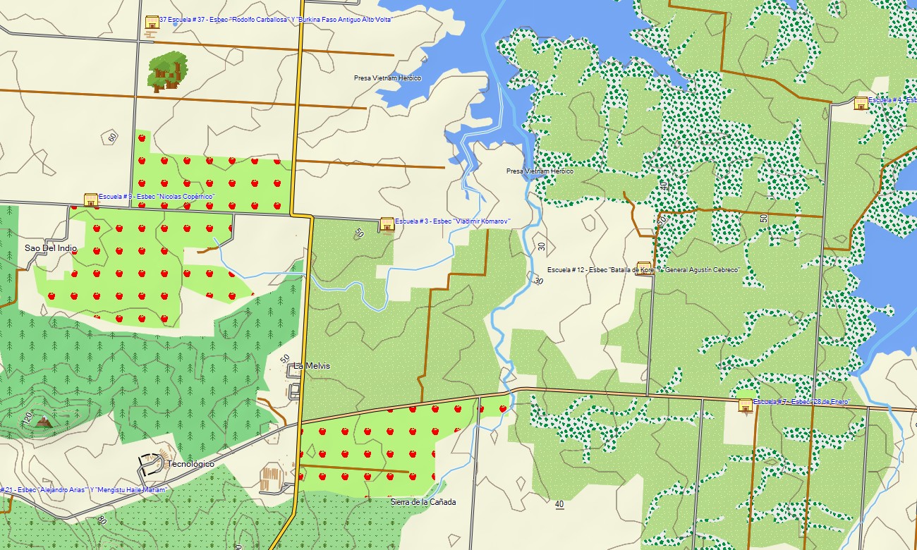
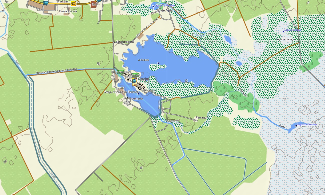
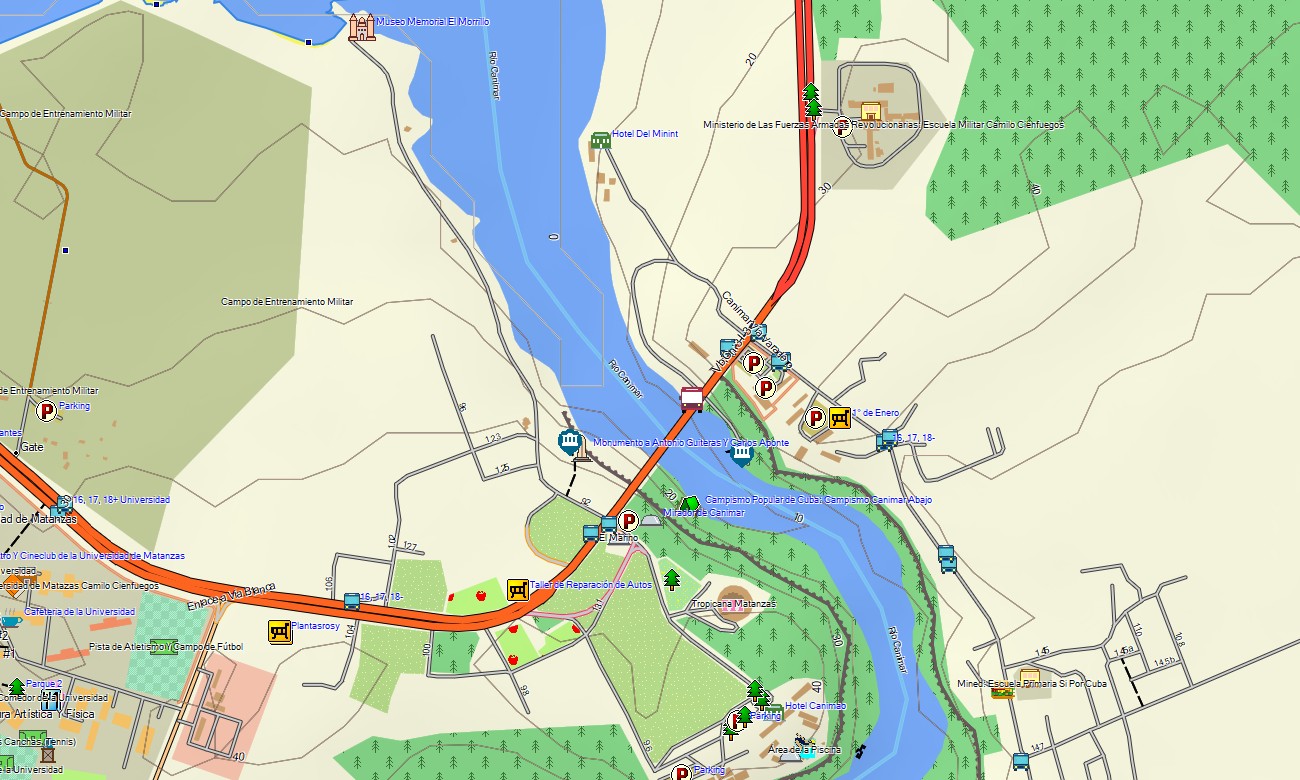
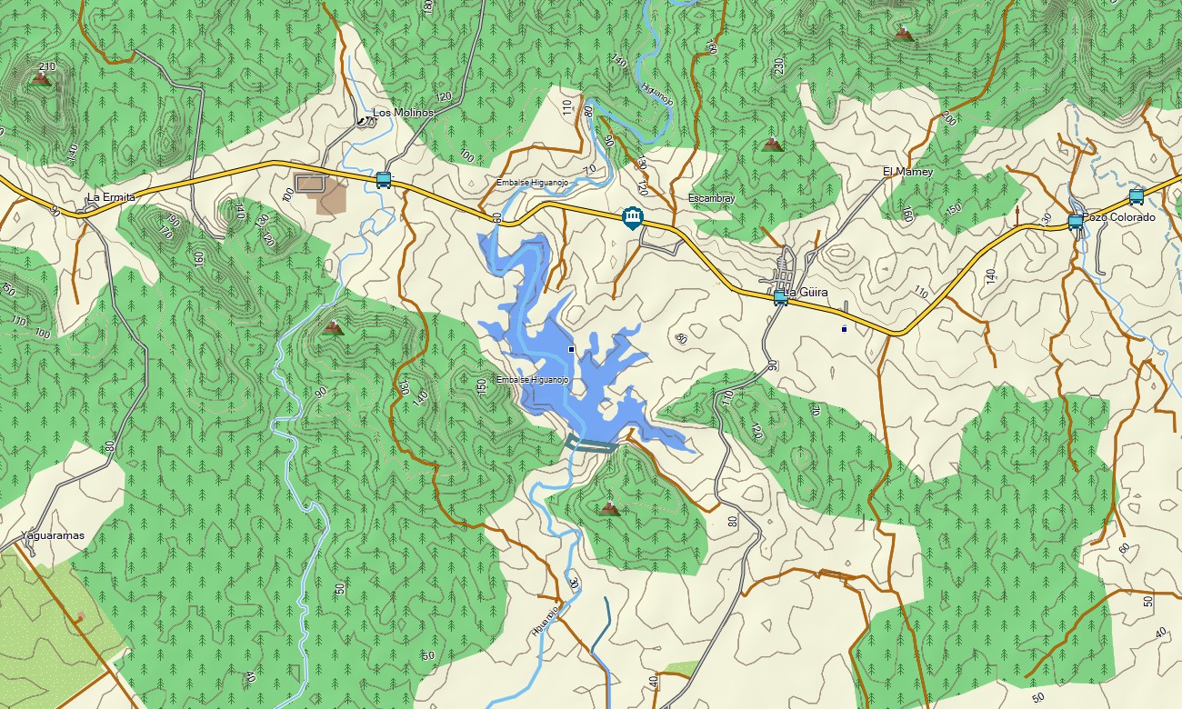
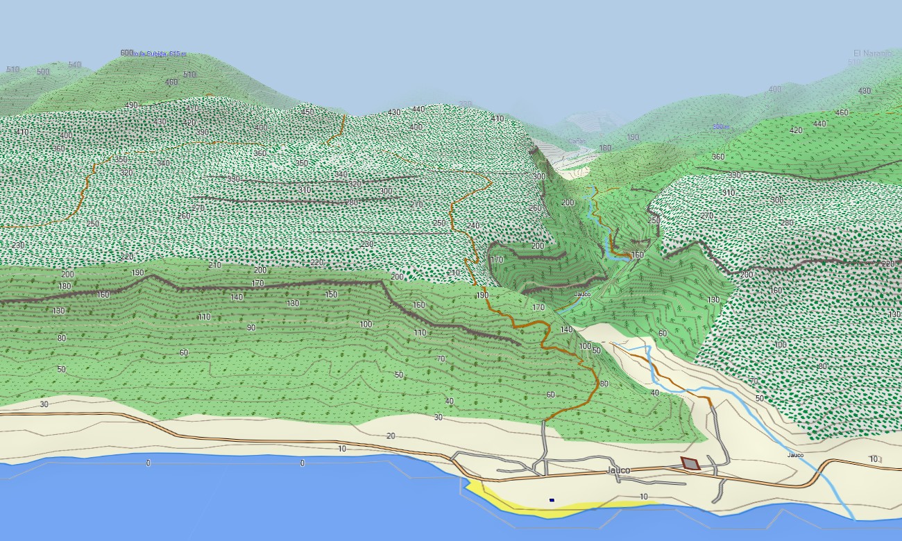
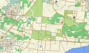
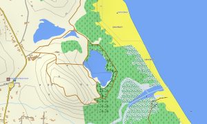
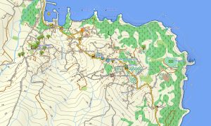
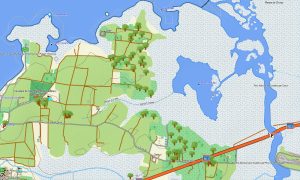
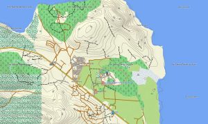
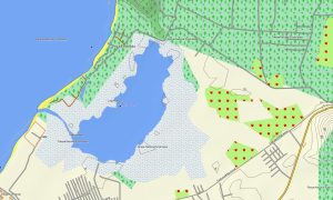
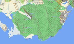
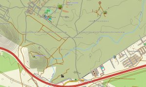
Serving as a comprehensive OSM topo map, this Garmin GPS map includes motorways, country roads, urban streets, hiking trails, rivers, reservoirs, and detailed elevation contours. It accurately represents Cuba’s diverse natural features such as mountain ranges, limestone karsts, coastal wetlands, and coral keys. The precision of these topographic maps for Garmin is vital for discovering the island’s unique landscapes and planning off-road excursions.
The built-in routing functionality in these maps for Garmin navigator devices enables efficient trip planning and turn-by-turn navigation directly on your device. Whether driving the length of the island, exploring the Viñales valleys, or touring the northern cays, this Garmin map offers consistent, uninterrupted guidance without requiring mobile data.
This map integrates multiple data layers: a full road network for island-wide travel, detailed city mapping for major urban areas, and rich topographic data for rural exploration. You will receive immediate access via a download link after purchase, the installation process is simple, and your download Garmin map is kept accurate with periodic updates for long-term reliability.
Key Features:
- Topographic maps for Garmin covering Cuba with roads, paths, rivers, lakes, coastlines, and contour lines
- Natural features such as mountain ranges, karst landscapes, coastal mangroves, coral reefs, and valleys
- Points of interest: urban infrastructure, historical fortifications, colonial architecture, viewpoints, beaches, cultural sites, monuments, lighthouses, and heritage town centers
- Complete road coverage including highways, regional routes, city streets, and rural lanes
- Routing support for driving and navigation on these maps for Garmin navigator devices
- Full detail of the national highway system and urban street grids across all provinces
- Compatibility with handheld GPS devices, automotive navigators, and supported as a map for Garmin watch models
Only logged in customers who have purchased this product may leave a review.
Reviews
There are no reviews yet.