

Ethiopia Garmin topographic map
$36
Ethiopia topo map for Garmin
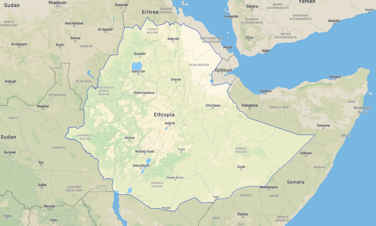
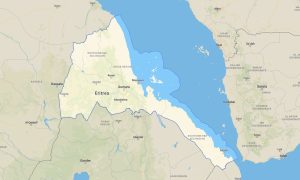
Enjoy traveling through Ethiopia with detailed Garmin maps created for navigation across high plateaus, deep valleys, volcanic regions, deserts, and fertile lowlands. This Garmin GPS map covers the entire country, from the Ethiopian Highlands and the Great Rift Valley to the Danakil Depression and remote border regions, providing reliable navigation for travel, adventure, and outdoor exploration.
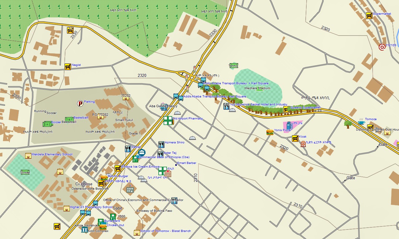
Built as an OSM map tourist Garmin solution, this Garmin map uses OpenStreetMap data combined with topographic detail to support navigation in major cities such as Addis Ababa, along national highways, and across rural and remote tracks. These outdoor maps Garmin users depend on work fully offline and are optimized for handheld GPS devices, vehicle navigators, and compatible Garmin watch models.
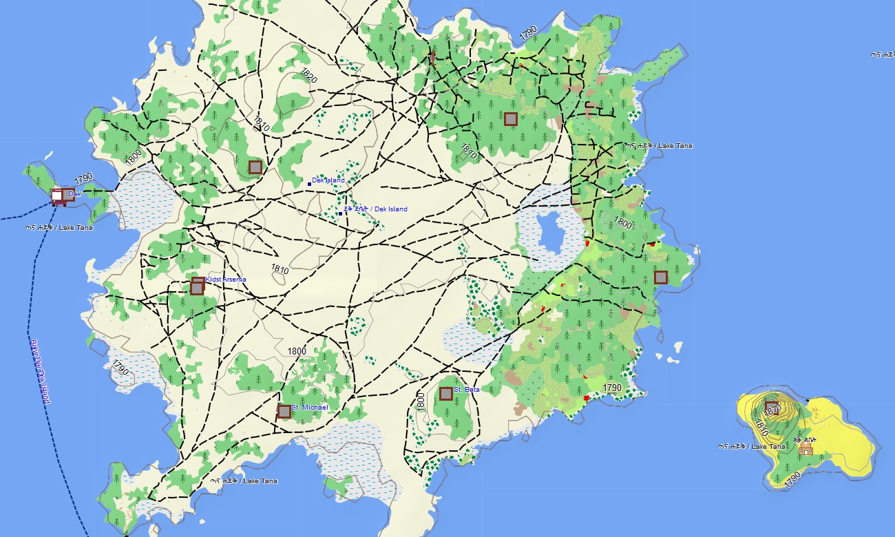
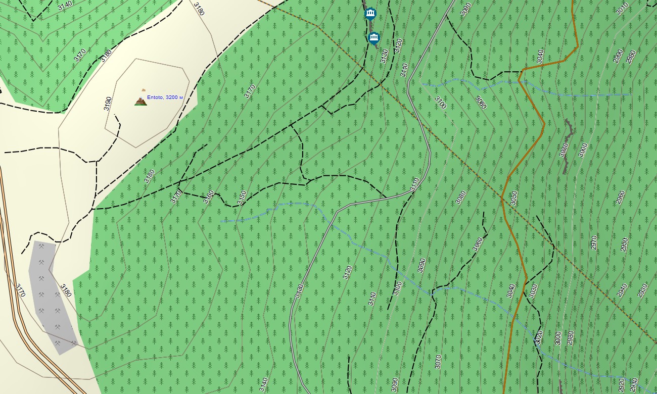
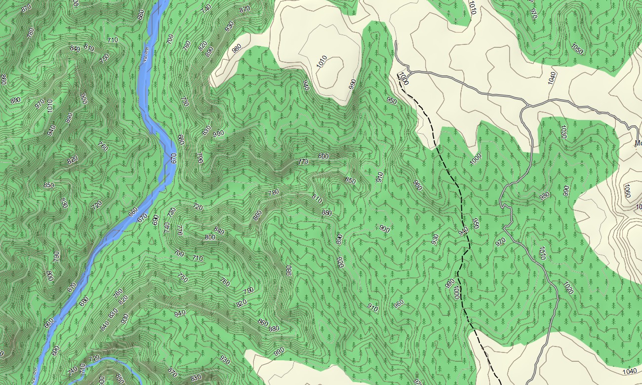
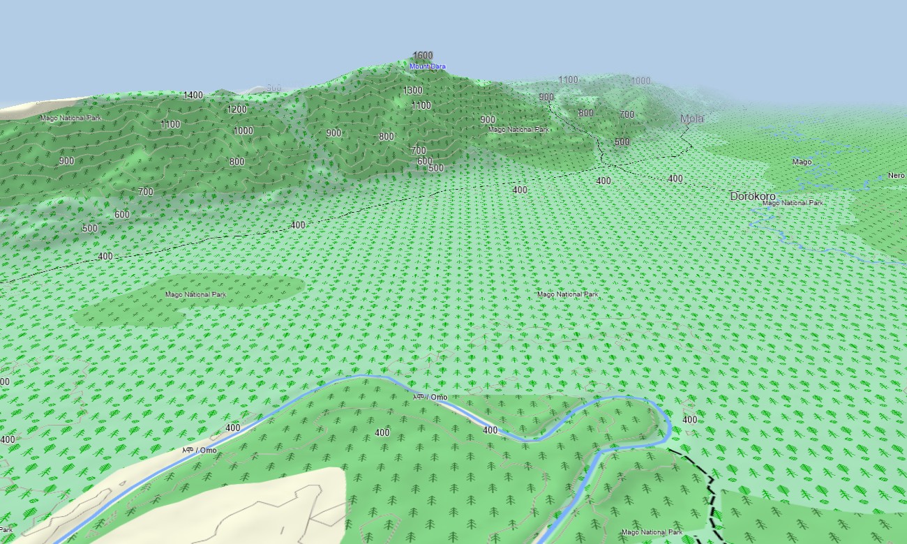
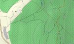
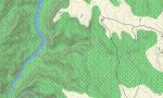
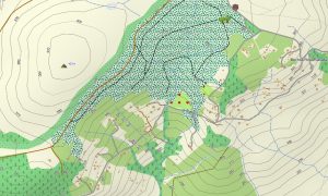
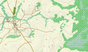
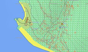
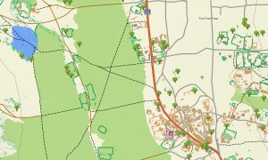
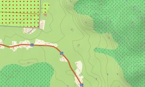
This Garmin GPS map functions as a comprehensive OSM topo map, including paved and unpaved roads, mountain tracks, footpaths, rivers, lakes, wadis, and elevation contours. Natural features such as highlands, escarpments, volcanic fields, lava flows, deserts, and river basins are clearly displayed. Due to the high level of detail, these topographic OSM maps are especially useful in Ethiopia for exploring incredible landscapes and unique natural beauty.
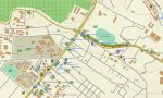
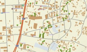
With built-in routing, these maps for Garmin navigator devices allow route planning and turn-by-turn navigation directly on the GPS. Whether crossing the central highlands, navigating Rift Valley corridors, or traveling through arid lowland regions, this Garmin map ensures consistent guidance without reliance on mobile internet.
The map includes several layers: full road coverage for intercity and regional travel, detailed street navigation for towns and cities, and comprehensive topo data for off-road exploration. After purchase, you receive an instant download link, installation takes only minutes, and regular updates keep your map accurate and reliable.
Key Features:
- Topo map for Garmin covering Ethiopia with roads, tracks, rivers, lakes, wadis, and elevation contours
- Natural features such as high plateaus, deep valleys, volcanic terrain, deserts, and terrain relief
- Complete road coverage including highways, regional routes, urban streets, and remote rural connections
- Points of interest included in the Garmin GPS map such as urban infrastructure, villages, archaeological sites, ruins, excavation areas, peaks, pits, quarries, water towers, and notable landmarks
- Routing support for driving and long-distance navigation on maps for Garmin navigator devices
- Full coverage of highways, regional routes, and detailed urban streets
- Compatibility with handheld GPS units, vehicle devices, and supported as a map for Garmin watch models
- The map contains contours of heights
Only logged in customers who have purchased this product may leave a review.
Reviews
There are no reviews yet.