
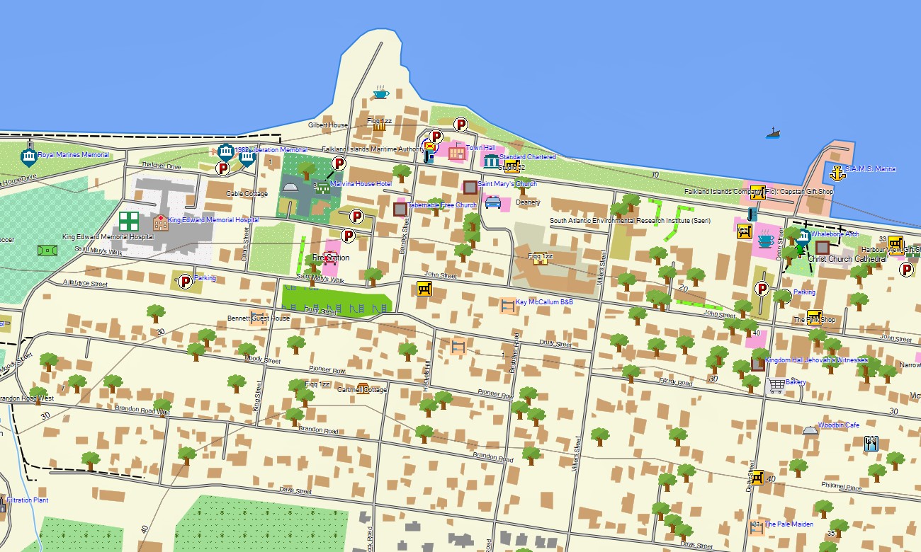
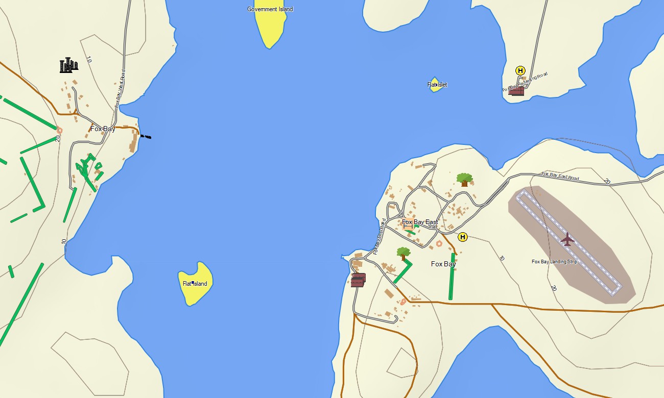


Falkland Islands Garmin topographic map
$22
Falkland Islands topo map for Garmin
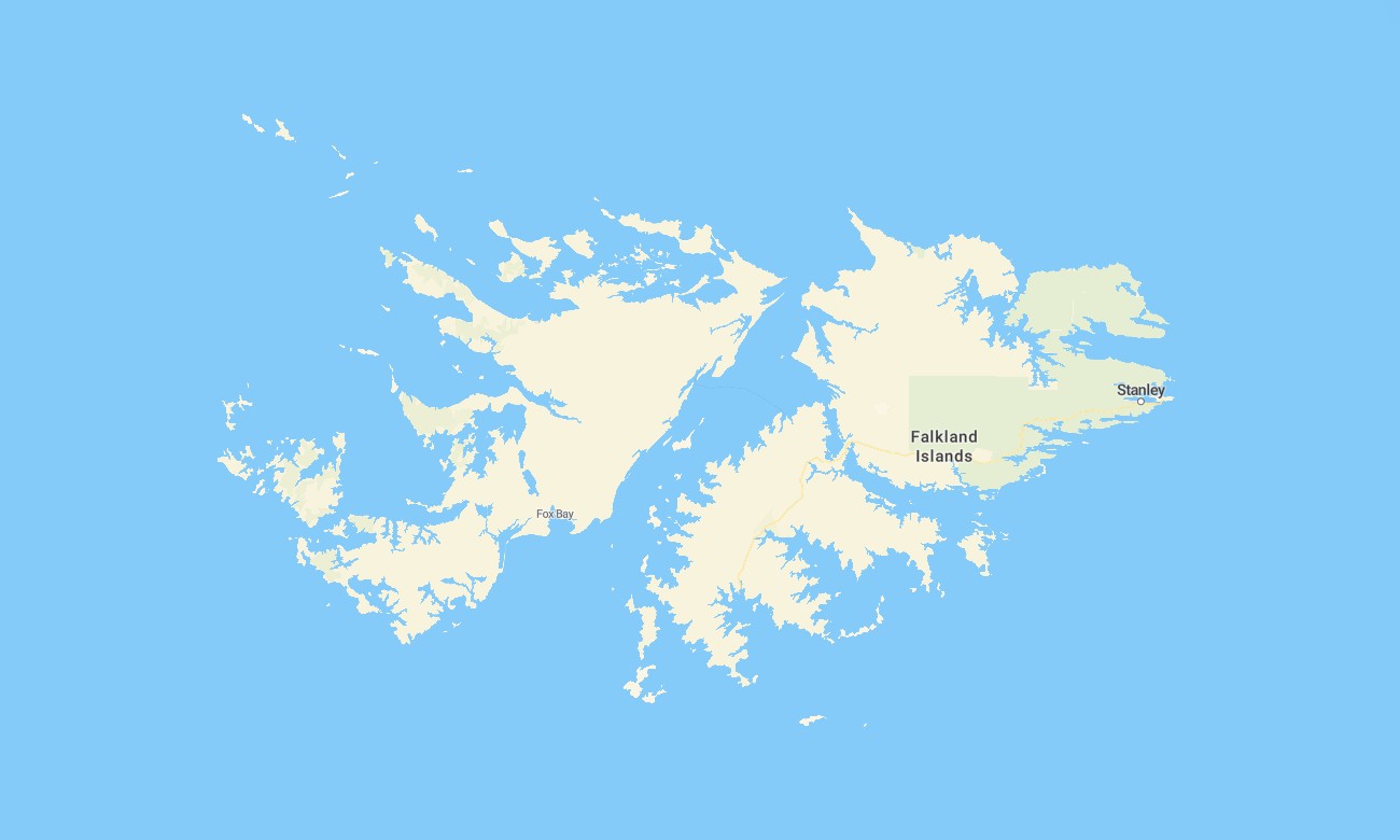
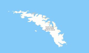
Navigate the remote and windswept beauty of the Falkland Islands with a detailed topographic Garmin map specifically designed for exploration across its rugged coastlines, rolling moorlands, and scattered settlements. This specialized Garmin GPS map provides complete coverage of both East and West Falkland, along with numerous smaller islands, offering crucial guidance for wildlife viewing, historical discovery, and cross-country travel.
Conceived as a niche OSM map tourist Garmin solution, it supports hiking tours across vast open countryside and 4×4 road trips on the limited gravel track network. These essential outdoor maps Garmin visitors rely on work entirely without mobile coverage. Instant download with regular free updates included guarantees your Garmin map remains a vital and accurate digital companion in this isolated archipelago.
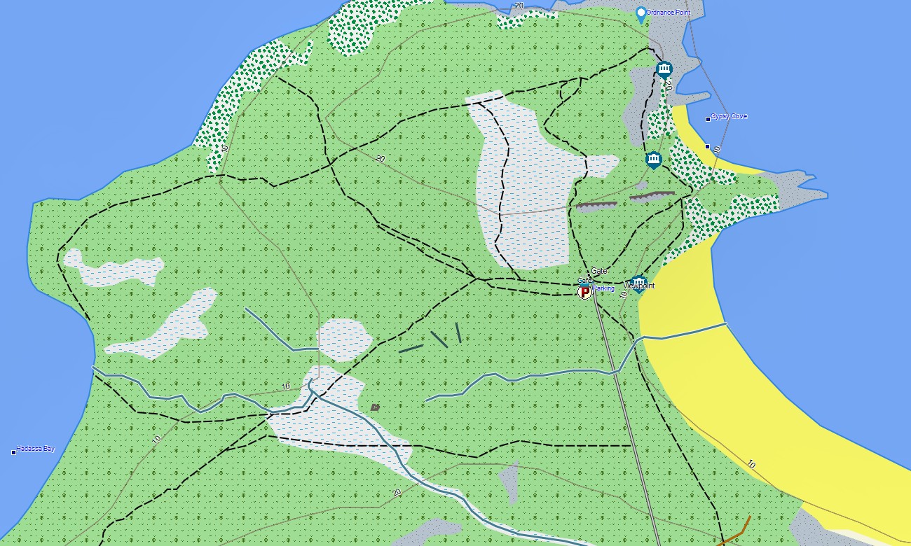
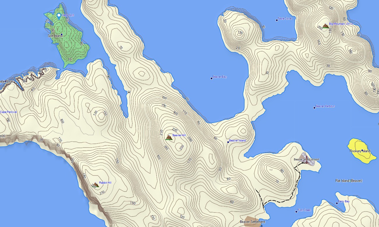
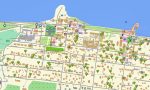
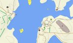
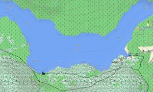
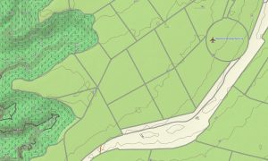
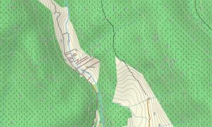
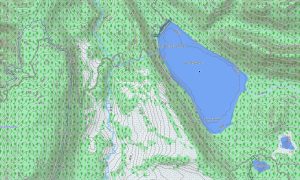
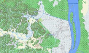
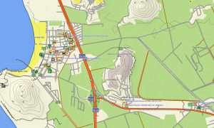
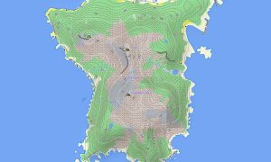
This Garmin GPS map functions as a precise OSM topo map, detailing the sparse road and track network, countless coastlines, peat bogs, freshwater ponds, and clear elevation contours. The distinctive terrain of stone runs, coastal cliffs, and white-sand beaches is clearly represented, making these topographic maps for Garmin indispensable for safe travel and orientation across featureless landscapes.
Featuring integrated routing, these maps for Garmin navigator devices enable planning and turn-by-turn guidance directly on your GPS. Whether driving from Stanley to a remote penguin colony, navigating farm tracks, or hiking to a historic shipwreck site, this Garmin map ensures reliable offline navigation.
The map includes key data layers: the complete network of roads and off-road tracks, settlement details, and comprehensive topographic information for coastal and moorland exploration. After purchase, you get an instant download link; installation is quick, and routine updates keep your Garmin OSM maps precise for this unique environment.
Key Features:
- Topographic maps for Garmin covering the Falkland Islands with roads, tracks, trails, coastlines, ponds, rivers, and elevation contours
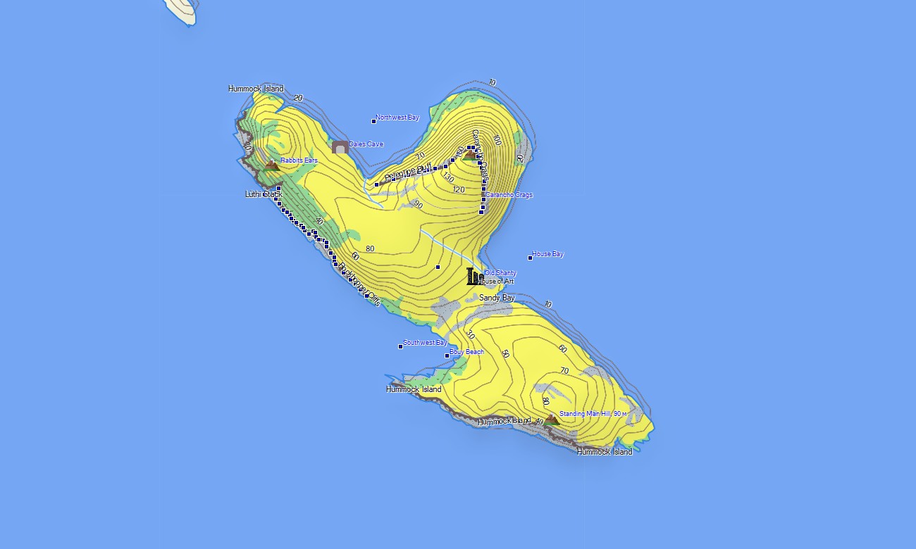
- Natural features such as coastal cliffs, sandy beaches, moorland, stone runs, peat bogs, and offshore islets
- Complete coverage of all-weather gravel roads, farm tracks, urban streets in Stanley, and remote cross-country connections
- Points of interest:urban infrastructure, historical battlefields, shipwreck sites, memorials, lighthouses, viewpoints, bird and wildlife colonies, settlements, farm buildings
- Routing support for driving and navigation on compatible devices
- Full compatibility with handheld GPS units, automotive navigators, and as a map for Garmin watch models
Only logged in customers who have purchased this product may leave a review.
Reviews
There are no reviews yet.