
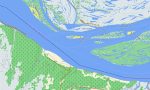
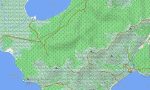
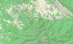
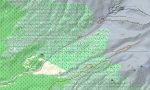
Far Eastern Federal District Garmin topographic map
$32
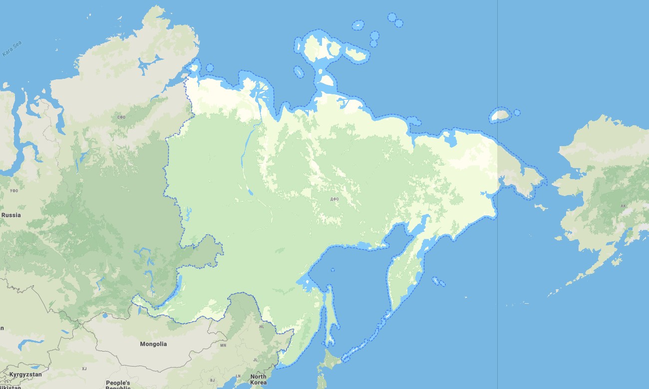
Far Eastern Federal District of Russia topo map for Garmin
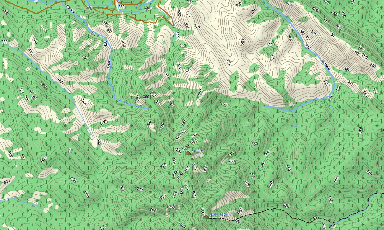
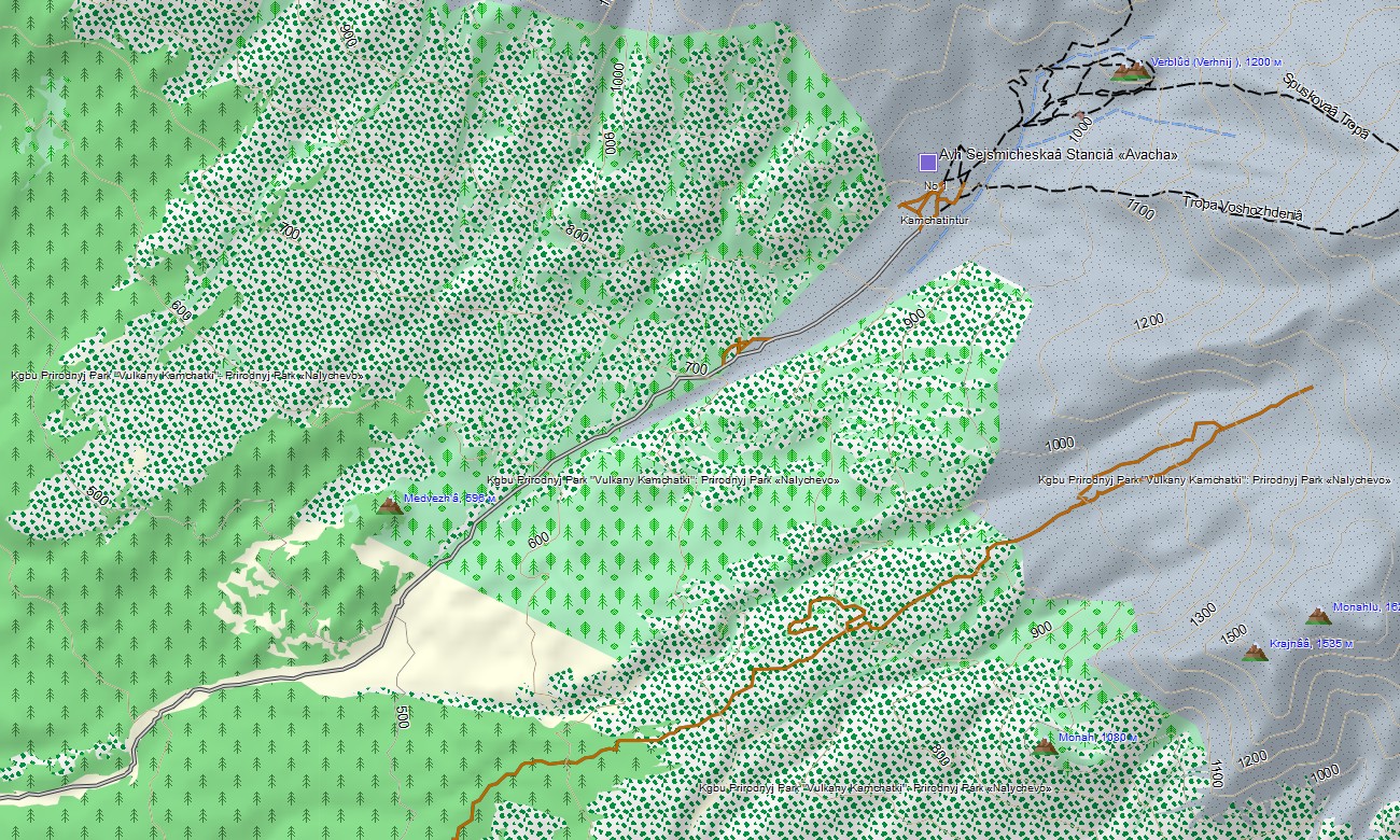
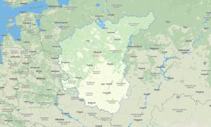
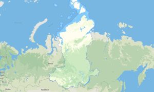
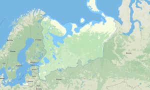
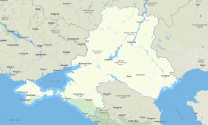
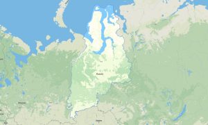
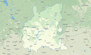
Explore Russia’s Pacific frontier with Garmin maps designed for the Far Eastern Federal District, covering Primorsky Krai, Khabarovsk Krai, Kamchatka, Sakhalin, Chukotka, Yakutia, Magadan Region, Amur Region, Buryatia, Zabaykalsky Krai, and the Jewish Autonomous Region. This Garmin GPS map provides offline guidance for volcanic landscapes, taiga roads, coastal settlements, mountain passes, and huge wilderness areas. Developed as an expedition-ready OSM map tourist Garmin resource, it supports travel around Vladivostok, overland routes toward Khabarovsk, journeys through Yakutia, hiking on Kamchatka volcanoes, and navigation across remote northern tracks. These outdoor maps Garmin adventurers need are especially valuable where mobile signal is limited or completely absent.
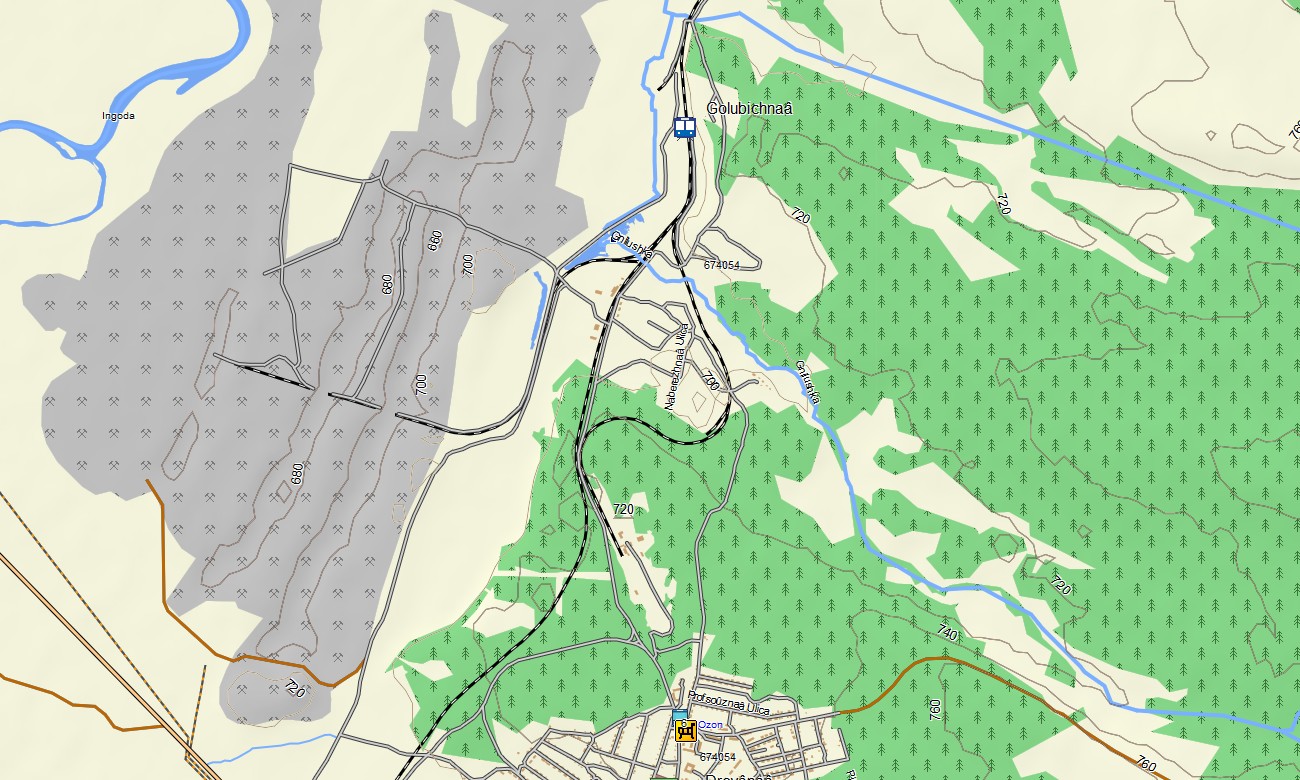
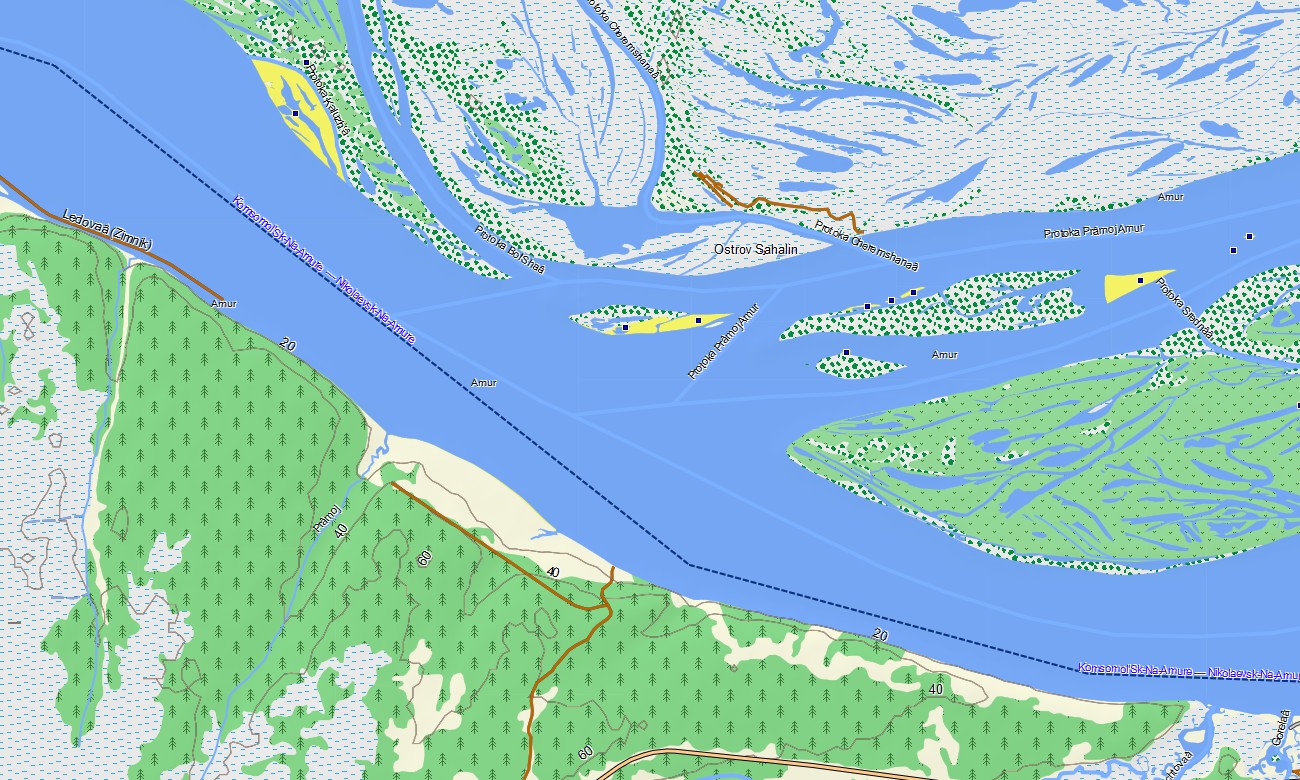
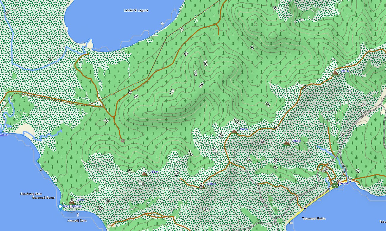
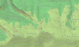
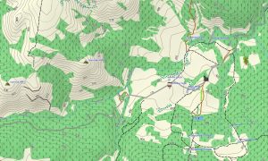
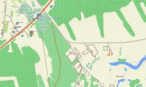
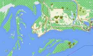
This Garmin GPS map works as a detailed OSM topo map, combining open street maps Garmin compatible data with topographic layers, water features, settlement information, roads, trails, ferry links, and elevation contours. It helps users read difficult terrain shaped by volcanic ridges, permafrost, river basins, ocean coasts, tundra, and mountain systems.
On compatible units, these maps for Garmin navigator devices assist with road planning, turn-by-turn routing where data allows, and orientation between distant towns. The Garmin map is also useful as a map for Garmin watch models during trekking, trail running, fishing, hunting, and coastal exploration.
The product is part of practical Garmin OSM maps for remote regions and gives travelers more than a simple overview map. After purchase, you can download Garmin map files instantly, install them on supported Garmin devices, and carry dependable OSM topographic maps for one of Russia’s largest and least predictable territories.
Key Features:
- Topographic maps for Garmin cover the Far Eastern Federal District with highways, winter roads, local tracks, trails, ferry routes, rivers, lakes, bays, coastlines, islands, glaciers, volcanoes, and elevation contours
- Natural features include Kamchatka volcanoes, the Amur basin, Sikhote-Alin mountains, Sakhalin coast, Kuril landscapes, Yakutian taiga, tundra, permafrost areas, Pacific bays, and remote mountain valleys
- The Garmin map contains settlements, ports, airports, research stations, border areas, viewpoints, hot springs, fishing locations, nature reserves, memorial sites, bridges, passes, and key expedition reference points
- These OSM topographic maps help drivers, hikers, cyclists, hunters, anglers, researchers, and overland travelers navigate regions where internet access may be unreliable or unavailable
- Compatible use includes Garmin OSM maps, an OSM topo map, maps for Garmin navigator devices, handheld GPS units, outdoor Garmin receivers, and a map for Garmin watch models
- Instant delivery allows users to download Garmin map data and prepare offline navigation before entering long-distance routes, coastal roads, forests, tundra zones, or volcanic terrain
Only logged in customers who have purchased this product may leave a review.
Reviews
There are no reviews yet.