
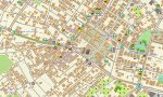
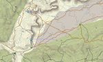
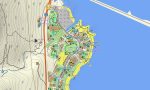
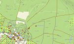
Israel and Palestine Garmin topographic map
$29
Israel and Palestine topo map for Garmin
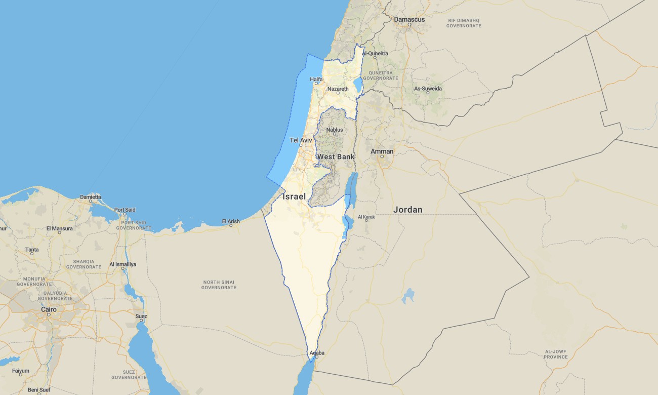
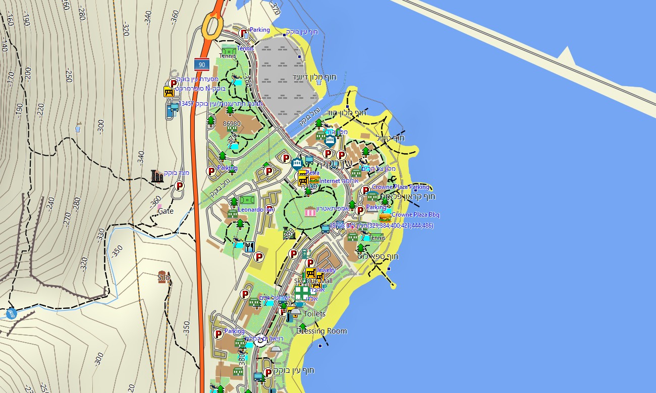
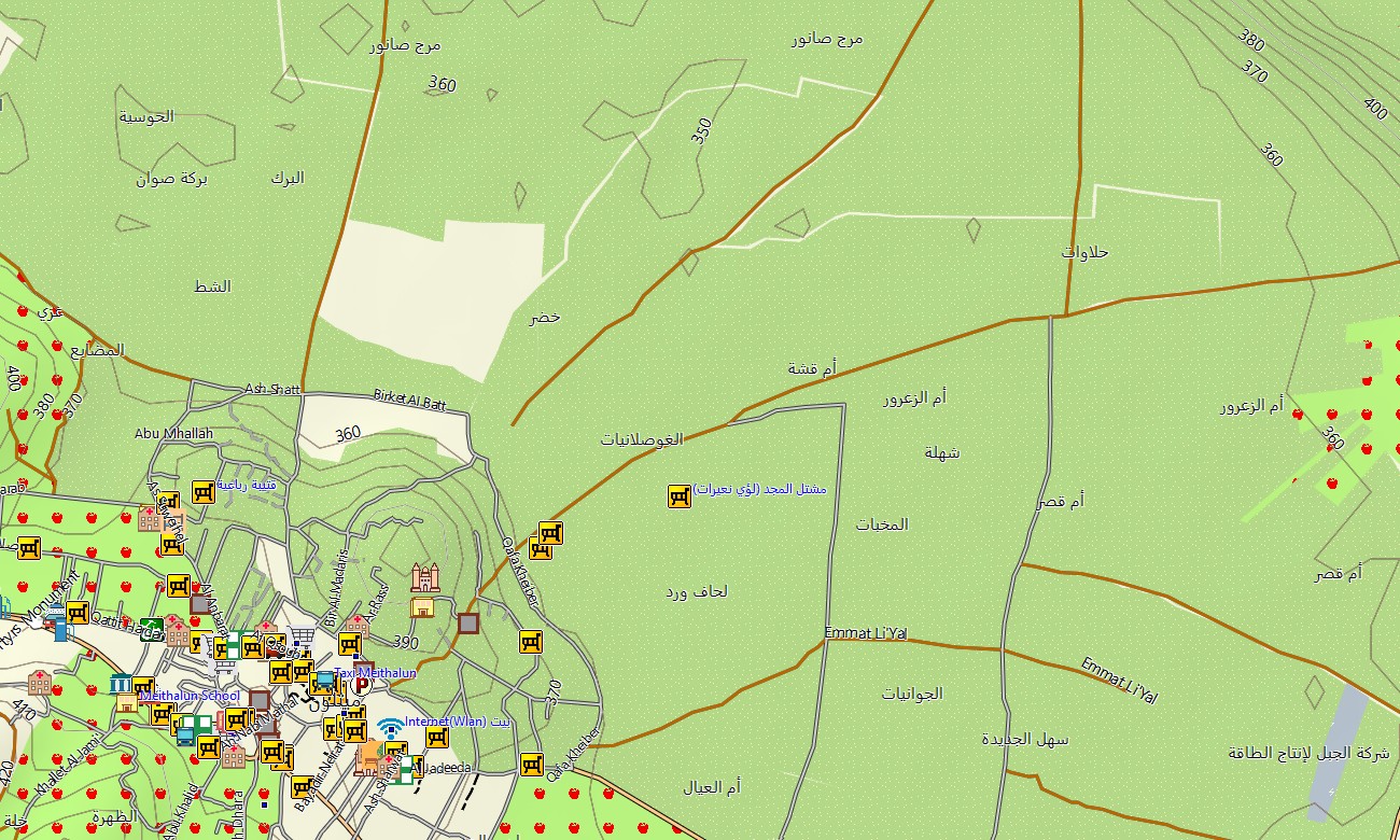
Experience the dense layers of history, cities, and landscapes across Israel and Palestine with a unified topographic Garmin map covering the whole area between Mediterranean coast and Jordan Valley. This regional Garmin GPS map connects coastal plains, hill country, desert plateaus, and urban corridors in a single, carefully structured product. Built on OSM topographic maps, it balances automotive precision with trail‑level relief detail.
Conceived as an inclusive OSM map tourist Garmin solution, it supports pilgrim routes, heritage circuits, modern city visits, cycling between communities, and desert trekking. These outdoor maps Garmin travelers rely on function fully offline, so your Garmin map remains dependable whether you are walking in historic quarters, crossing agricultural valleys, or exploring canyon wadis.
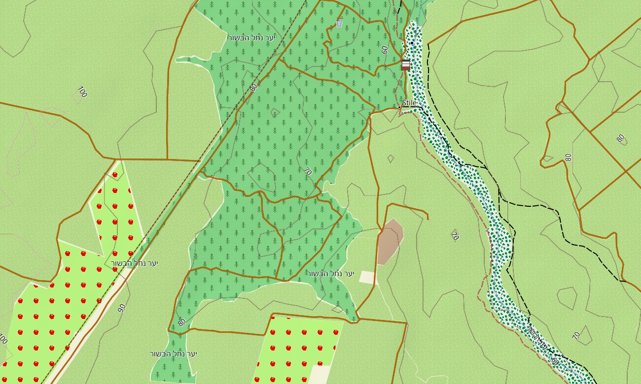
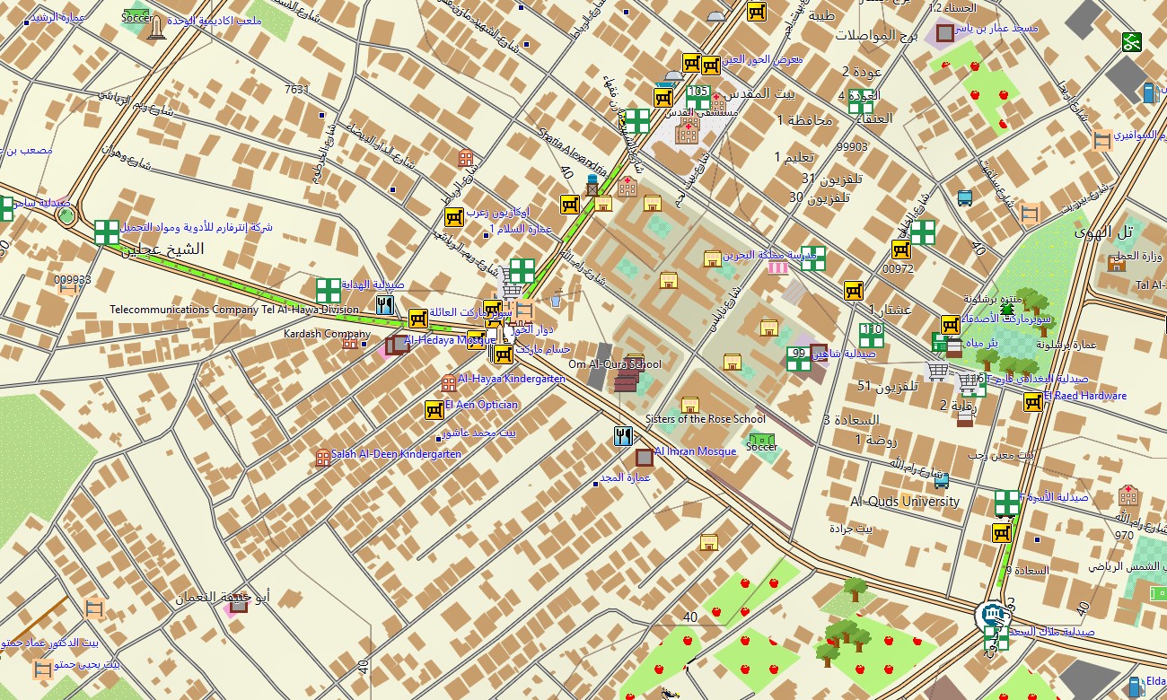
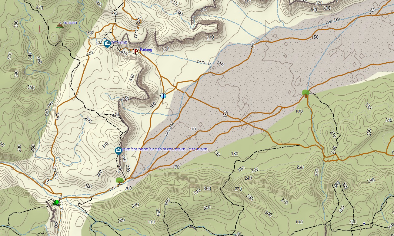
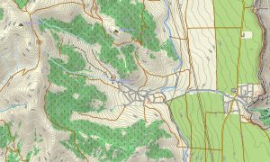
As a fine‑scale OSM topo map, it integrates close contour lines, escarpments, wadis, springs, terraces, roads, paths, and urban street grids. Open street maps Garmin content supplies current road patterns, new junctions, and public‑transport hubs, while OSM topographic maps clarify the steep hillsides, ridge walks, and basin floors that shape every journey here. Routing‑enabled maps for Garmin navigator devices allow you to move between major cities, border crossings, and remote viewpoints with turn‑by‑turn guidance. One Garmin GPS map can handle rental‑car tours, regional deliveries, and cross‑border itineraries, even when connectivity is intermittent. For off‑road segments, the visual topographic context of these Garmin OSM maps supports safe, manual decision‑making.
Active users can load targeted extracts as a map for Garmin watch on compatible hiking, running, and cycling models. Having OSM topo map trails, contour lines, and key landmarks on the wrist is especially helpful on poorly waymarked hillside paths or desert loops. Multiple information layers blend into a single, legible Garmin map: arterial roads, local streets, long‑distance trails, religious and cultural sites, watercourses, and nature reserves. This makes the topographic maps for Garmin not only a navigation tool, but also a planning base for multi‑day themed trips across both Israel and Palestine. Delivered as compact, region‑wide Garmin maps, the product is easy to keep synchronized with your broader library of Garmin OSM maps. After purchase you receive an immediate download Garmin map link, so installation can be completed well before departure and repeated on additional devices if required.
Key Features:
- Topographic maps for Garmin covering Israel and Palestine with highways, regional roads, urban streets, hiking trails, pilgrim paths, jeep tracks, wadis, rivers, and elevation contours
- Natural features such as Mediterranean coastline, hill country, Rift Valley escarpments, semi‑desert plateaus, oases, and saline basins are shown in detail on the OSM topographic maps
- OSM topo map data helps you judge gradients, ridge options, and canyon depths when planning hiking, running, or MTB routes
- Open street maps Garmin layers add dense city mapping, historical quarters, industrial areas, and transport hubs used in everyday navigation
- Garmin OSM maps support routing on compatible maps for Garmin navigator devices for self‑drive tours, cross‑regional trips, and local logistics
- Outdoor maps Garmin users can download Garmin map subsets for specific pilgrimage corridors, nature reserves, or urban areas to save device storage
- The Garmin GPS map is compatible with handheld receivers and can also be installed as a map for Garmin watch on selected multisport models
- Combining Garmin maps technology with open street maps Garmin source data, this Garmin map becomes a flexible, offline companion for cultural travel, outdoor exploration, and field projects across Israel and Palestine
Only logged in customers who have purchased this product may leave a review.
Reviews
There are no reviews yet.