



British Indian Ocean Territory Garmin topographic map
$22
British Indian Ocean Territory topo map for Garmin
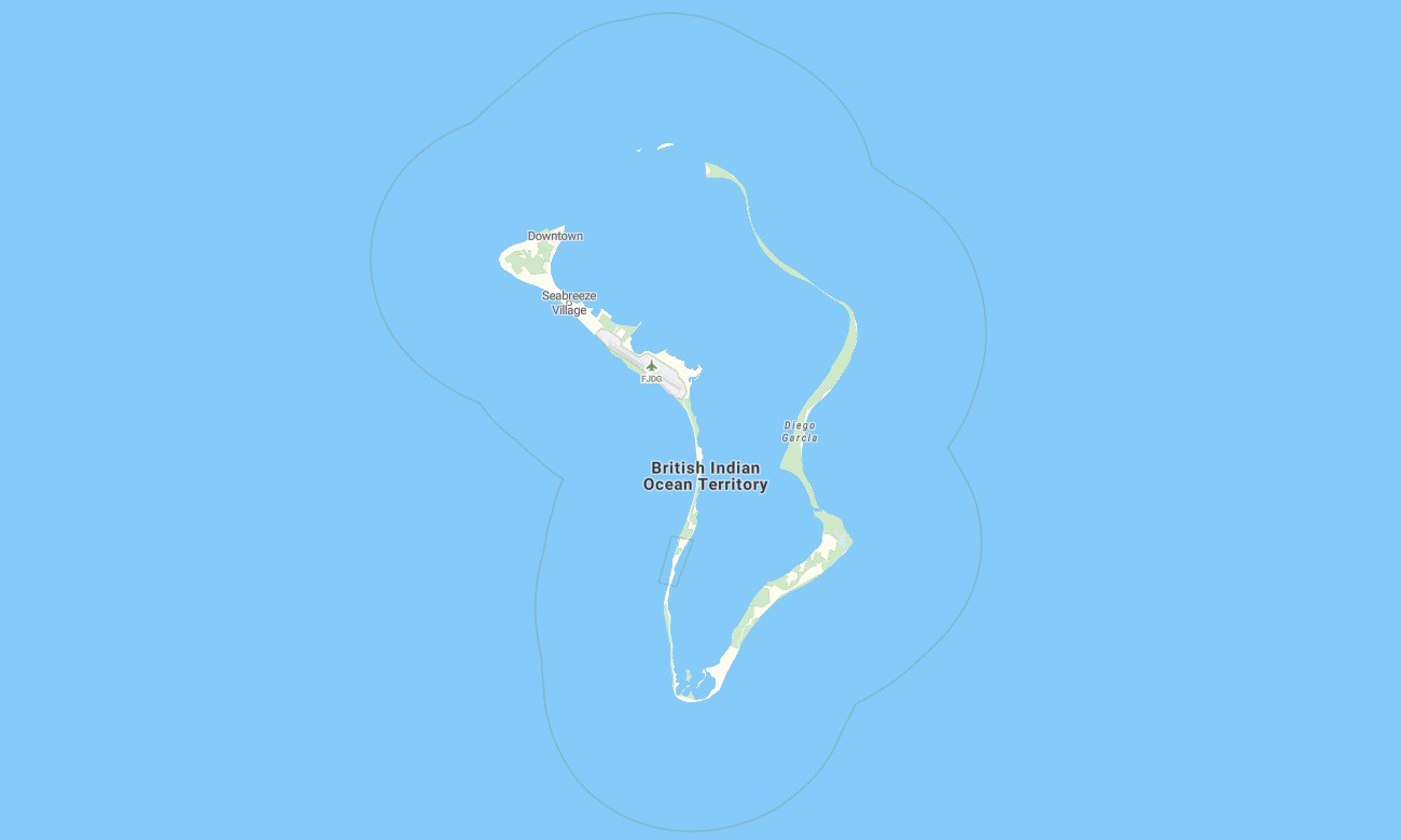
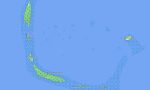
Navigate the isolated atolls and military-restricted waters of the British Indian Ocean Territory with a specialized topographic Garmin map focused on ocean and reef detail. This highly targeted Garmin GPS map transforms standard Garmin maps into a precise tool for positioning around low-lying islands, passes, and anchorages. Built on OSM topographic maps, it emphasises coastal shape, lagoon structure, and access channels rather than complex road networks.
Designed as a niche OSM map tourist Garmin solution, it primarily serves research vessels, technical crews, and permitted visitors who require accurate offshore and near‑shore orientation. These outdoor maps Garmin users rely on operate completely offline, so your Garmin map stays available when satellite communication is reserved for operations. Instant access through a secure download Garmin map link ensures fast deployment to compatible devices.
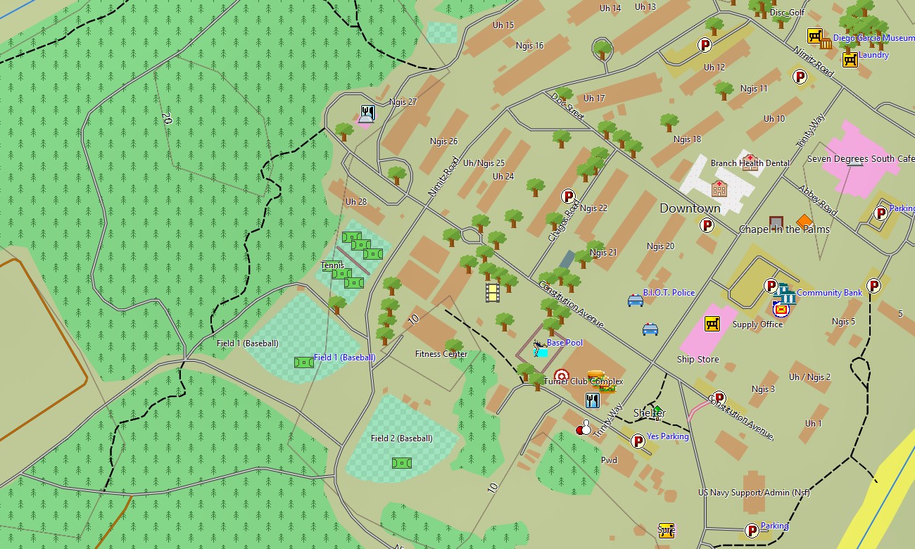
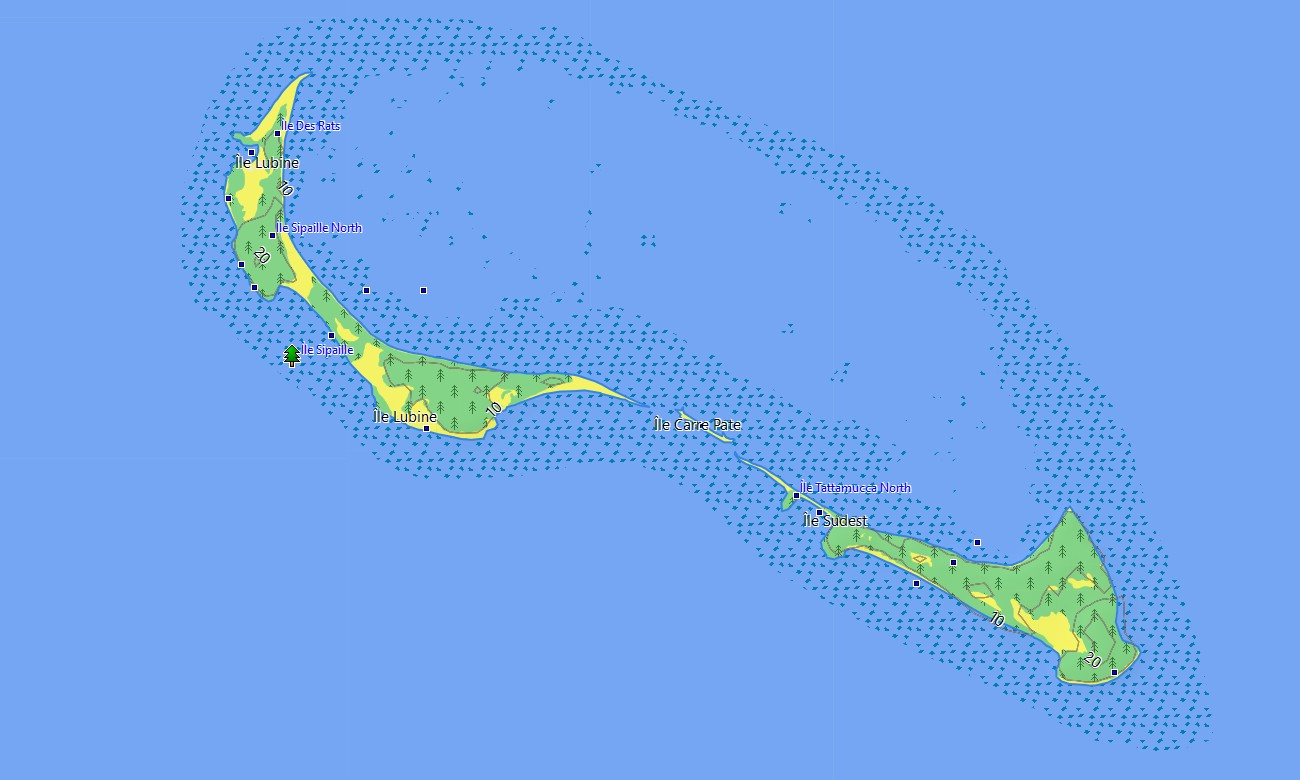
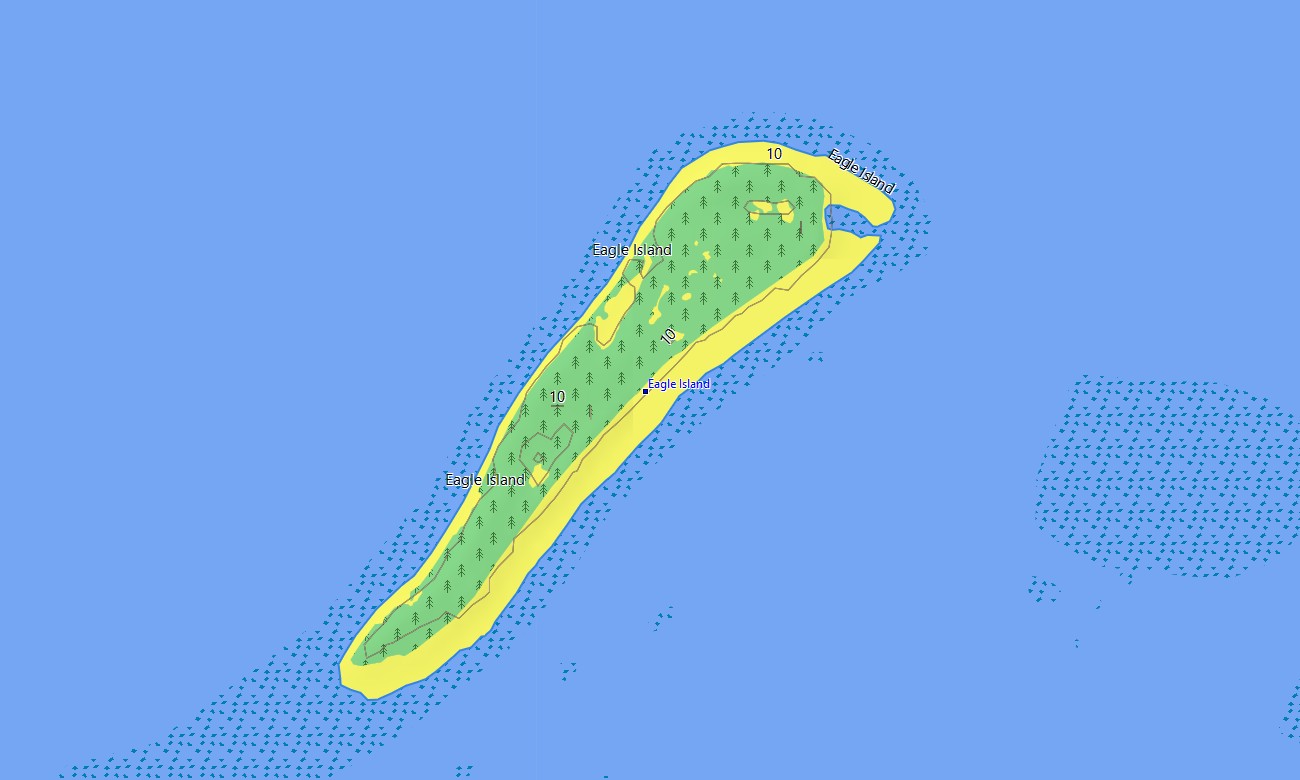
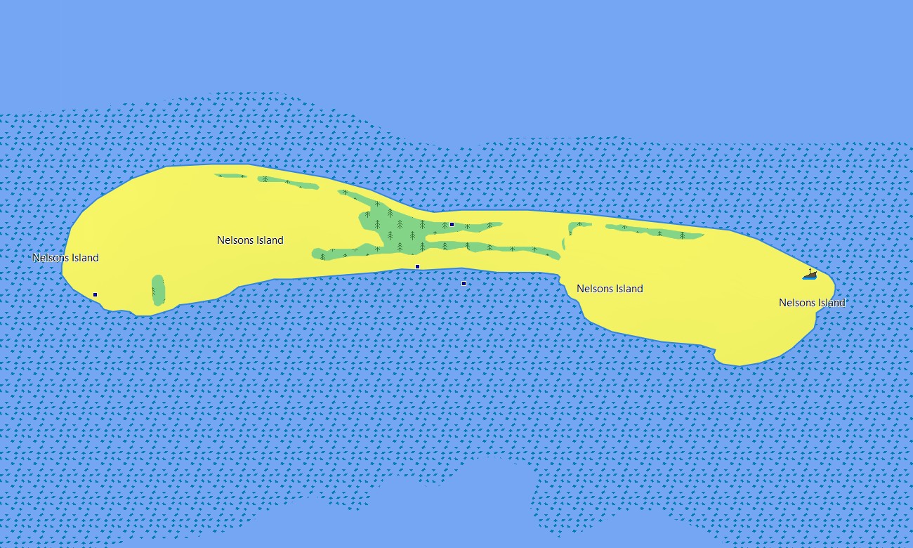
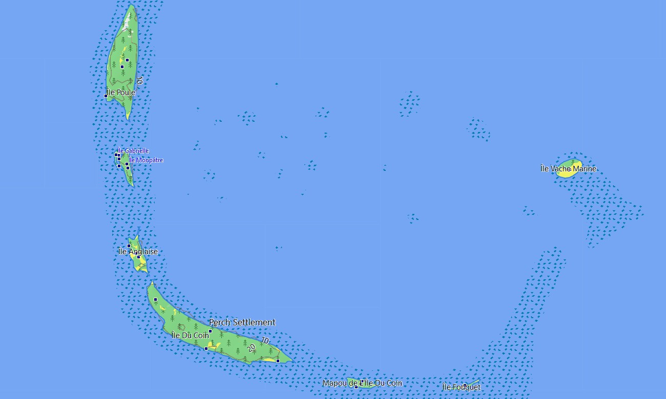
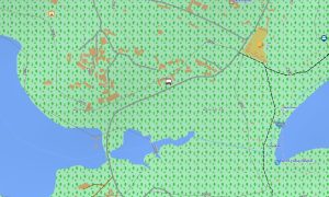
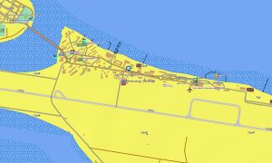
Functioning as an OSM topo map, it combines fine coastline geometry, reef rims, sandbars, depth hints where available, tracks to jetties, and service paths on key islands. Open street maps Garmin data contributes landing sites, runways, and installation areas, while OSM topographic maps highlight even minimal elevation that separates dry land from storm‑exposed flats. Because conventional road routing has little relevance here, this British Indian Ocean Territory Garmin GPS map is optimized for visual navigation support rather than automotive guidance. Yet where structured paths and service roads exist, maps for Garmin navigator units can still assist with short local movements. The main strength of these Garmin OSM maps is the clear topographic and coastal context they provide far from populated coasts.
For field teams using compact devices, the product can also be loaded as a map for Garmin watch on selected multisport and marine‑oriented models. Having an at‑a‑glance view of OSM topo map coastlines, channels, and waypoints on the wrist adds a valuable backup to primary navigation systems. Multiple layers combine into one coherent Garmin map: lagoons, reef outlines, shorelines, landing strips, service tracks, mooring areas, and selected survey points. In a remote theatre where paper charts and onboard systems must work together, these topographic maps for Garmin supply an additional independent reference based on open street maps Garmin‑compatible data. Delivered as compact, region‑focused Garmin maps, the package is easy to archive alongside expedition datasets and to refresh when new information becomes available. Regularly updated OSM topographic maps feed improvements in coastline tracing, reef depiction, and infrastructure coverage, so your Garmin GPS map remains a trustworthy background for planning and field activity.
Key Features:
- Topographic maps for Garmin covering the British Indian Ocean Territory with shorelines, reef rims, service tracks, pier access routes, airstrips, channels, and light elevation contours
- Natural and marine features such as lagoons, sandbanks, coral heads, reef passes, shallow shelves, and open‑ocean boundaries are clearly represented on the OSM topographic maps
- OSM topo map layers help users distinguish safe anchorages, narrow channels, and exposed reef edges when operating far from detailed commercial charts
- Open street maps Garmin data contributes mapped jetties, runways, technical compounds, utility corridors, and other key infrastructure where survey information exists
- Garmin OSM maps can be used as standalone Garmin maps or as an auxiliary background alongside shipboard navigation and specialist survey systems
- Limited routing support on maps for Garmin navigator devices is available where defined roads and tracks exist, complementing visual offshore navigation
- Outdoor maps Garmin users can download Garmin map tiles optimized for this remote archipelago, ideal for handheld receivers and as a map for Garmin watch
- The Garmin GPS map package uses open street maps Garmin sources and refined coastal data to deliver a practical, offline cartographic reference for one of the world’s most isolated territories
Only logged in customers who have purchased this product may leave a review.

Reviews
There are no reviews yet.