
Afghanistan Garmin topographic map
$32
Afghanistan topo map for Garmin
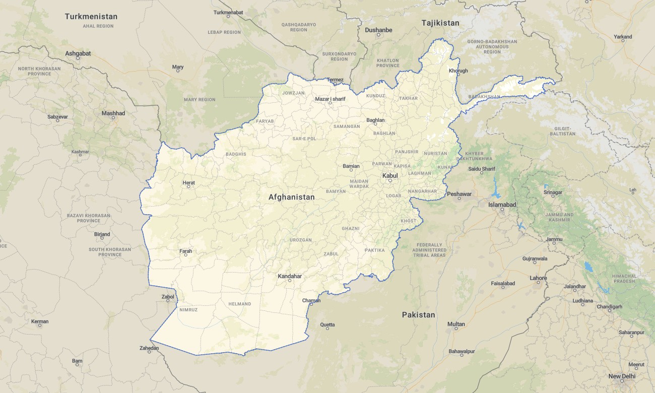
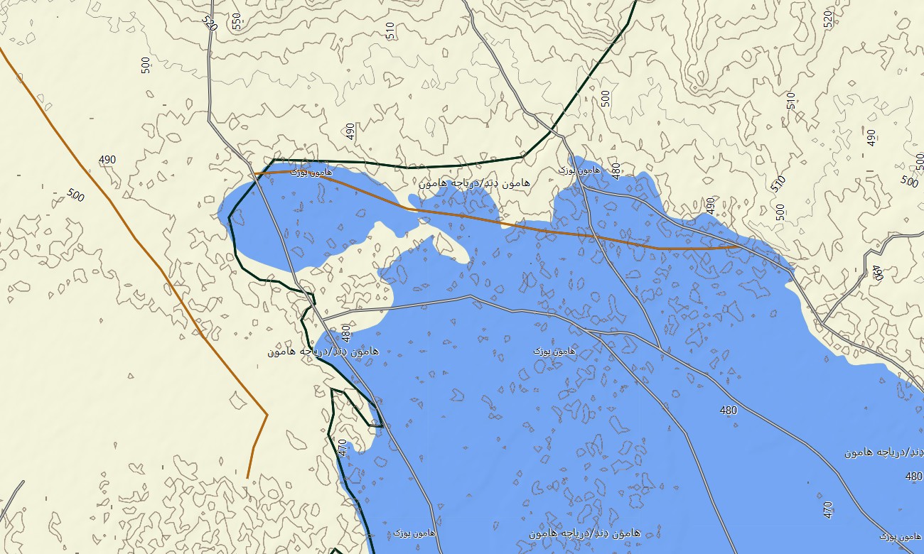
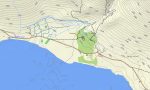
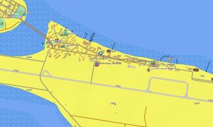
Traverse Afghanistan’s rugged mountains, deserts, and historic valleys with a dedicated topographic Garmin map built for demanding field conditions. This detailed Garmin GPS map covers the Hindu Kush, remote border regions, and key transport corridors, providing reliable guidance where traditional mapping is scarce or outdated. Using OSM topographic maps as a foundation, it offers terrain awareness essential for trekking, overlanding, and professional operations.
Designed as a flexible OSM map tourist Garmin solution, the product supports backpacking routes near Bamiyan, day hikes above Kabul, and exploratory trips across high-altitude passes. These outdoor maps Garmin users rely on work entirely offline, so navigation remains stable even in areas without mobile coverage. After purchase, an instant download Garmin map link allows quick deployment to compatible GPS devices.
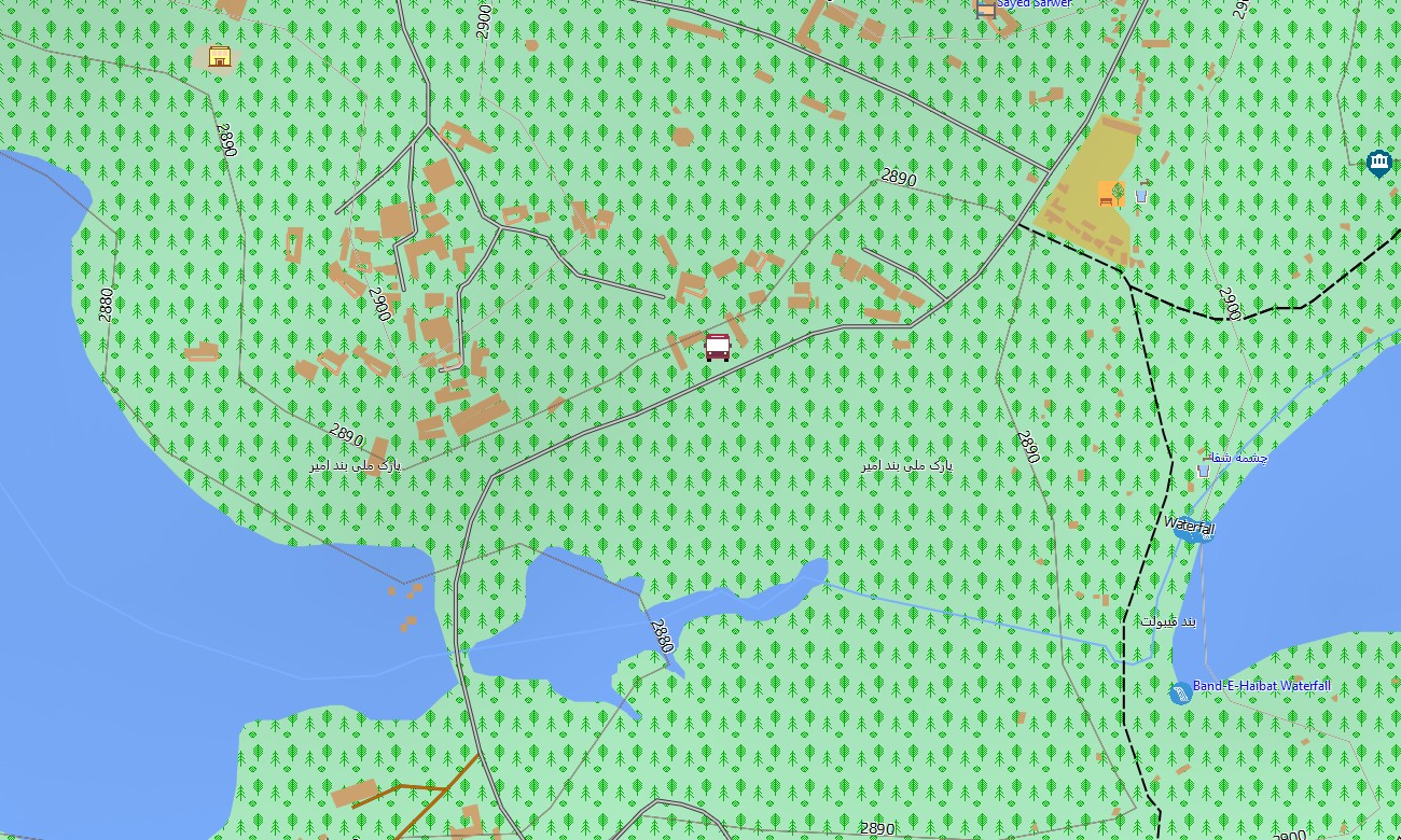
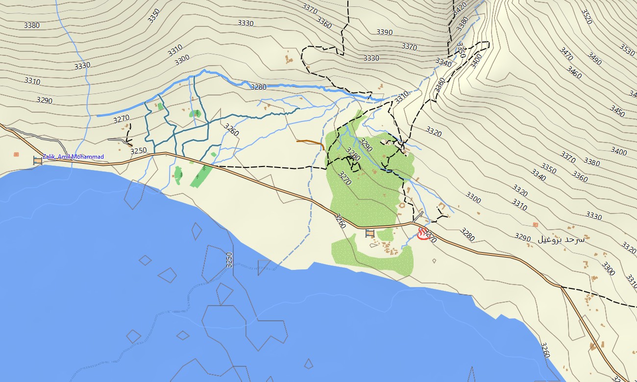
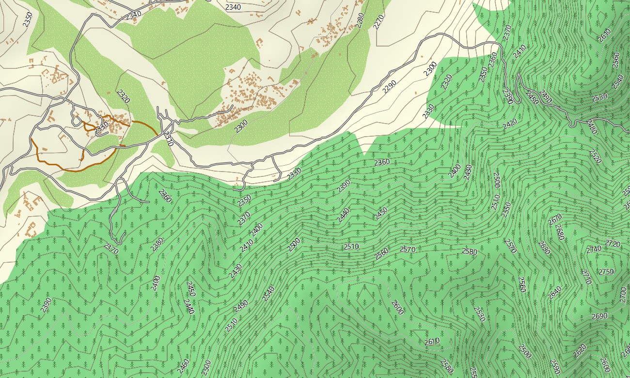
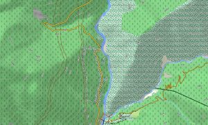
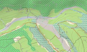
The map operates as a precise OSM topo map, integrating contour lines, ridge lines, valleys, and riverbeds with existing road and trail data. Open street maps Garmin data is enhanced with elevation information to help assess slope, exposure, and route difficulty. From narrow mountain tracks to gravel road shortcuts, the cartography is tuned for real-world travel decisions.
Routing-enabled maps for Garmin navigator devices support trip planning on main highways and regional roads. Overland travelers can prebuild routes between provincial centers, border crossings, and staging points, then follow turn-by-turn guidance offline. For alpine and desert zones where routing is limited, the topographic display still offers critical context.
The Garmin OSM maps for Afghanistan also function as a map for Garmin watch on supported multisport models. Mountain runners, guides, and field teams can load compact extracts for specific districts, conserving storage while keeping essential path and elevation details on the wrist.
Multiple layers combine transport, hydrography, relief, and settlements into one Garmin map optimized for low-light and bright-sun readability. Villages, valleys, and plateaus are clearly distinguishable, helping you understand how terrain shapes access routes. This structure makes the topographic maps for Garmin useful for both on-the-ground navigation and off-line planning at base.
As part of a wider collection of Garmin maps, this Afghanistan product blends road navigation with backcountry detail. It is ideal for users who need a single Garmin GPS map to support humanitarian work, expedition logistics, or independent travel across contrasting environments.
Key Features:
- Topographic maps for Garmin covering Afghanistan with highways, secondary roads, jeep tracks, footpaths, rivers, streams, wadis, and clear elevation contours
- Natural features such as the Hindu Kush, arid basins, high plateaus, river valleys, alluvial fans, and isolated oases are accurately depicted
- OSM topographic maps provide terrain shading and contour spacing suitable for estimating gradients, ridge approaches, and potential camp locations
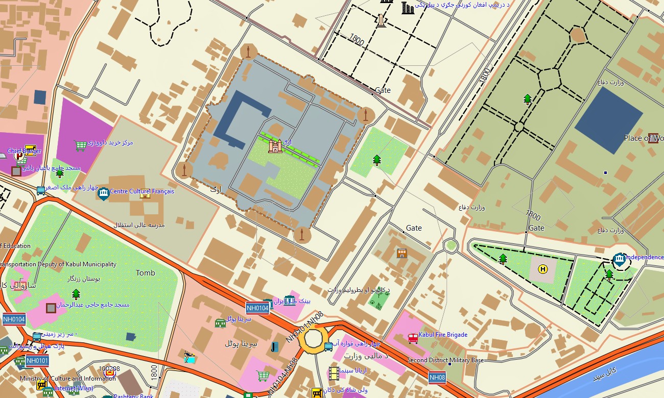
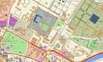
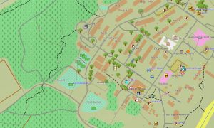
- Open street maps Garmin data supplies settlements, street grids in major cities, industrial zones, and transport infrastructure for practical routing
- Routing support on compatible maps for Garmin navigator devices enables planning between cities, bases, airfields, and key logistical nodes
- Outdoor maps Garmin users can download Garmin map packages for specific regions, reducing file size while retaining all essential detail
- Garmin OSM maps are compatible with many handheld receivers and can be installed as a map for Garmin watch profiles on selected wearables
- The Garmin map integrates OSM topo map information with points of interest, making the Garmin GPS map suitable for fieldwork, trekking, and long-distance driving
Only logged in customers who have purchased this product may leave a review.

Reviews
There are no reviews yet.