


Maldives Garmin topographic map
$22
Maldives topo map for Garmin
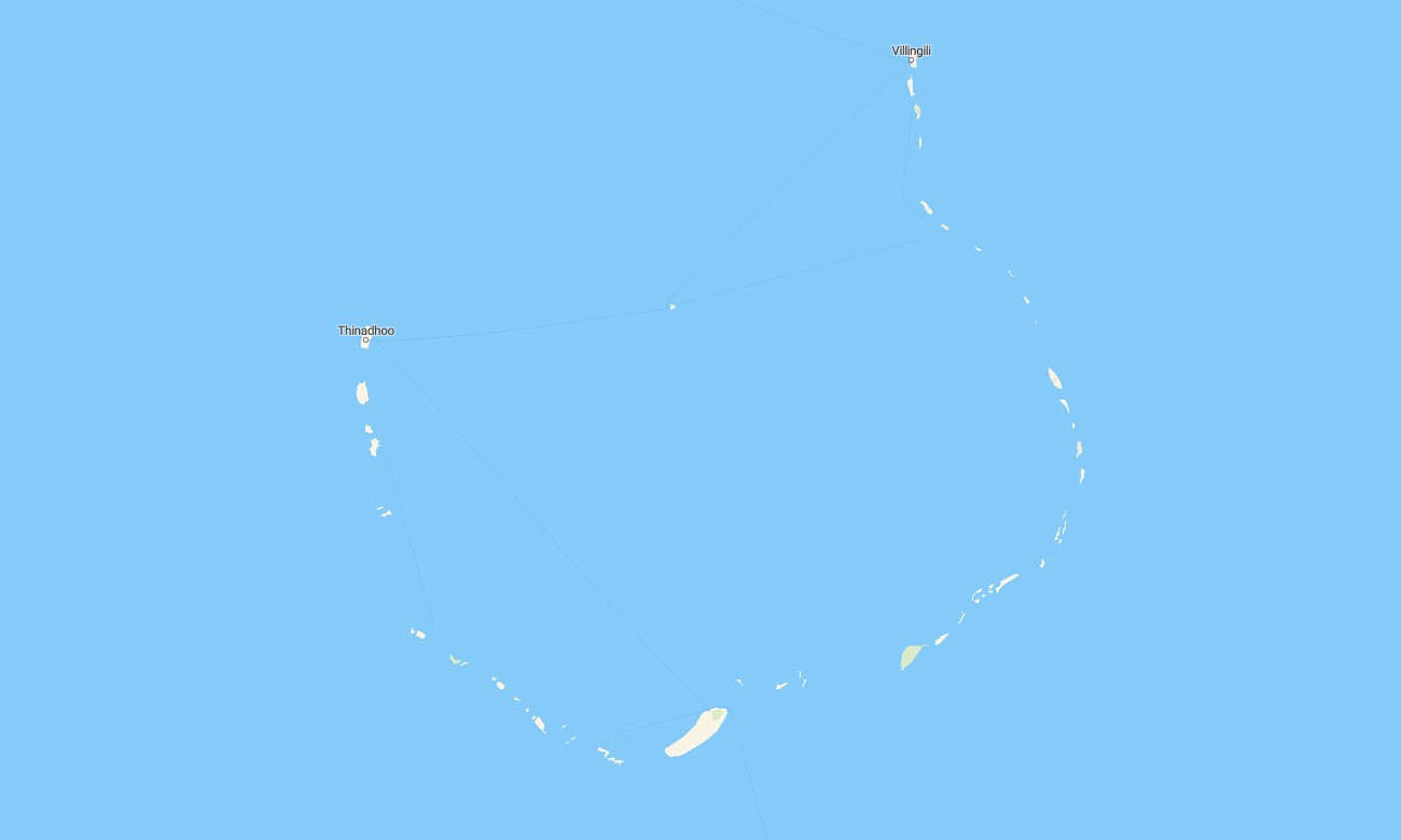
Navigate the scattered atolls and reef-fringed islands of the Maldives with a specialized topographic Garmin map focused on marine and coastal detail. This Garmin GPS map extends basic Garmin maps with precise shorelines, channels, and reef outlines, helping skippers, divers, and resort operators manage complex lagoon environments. Built on OSM topographic maps, it emphasizes low-relief landforms and ocean features rather than mountains.
Designed as an OSM map tourist Garmin product, it supports resort transfers, liveaboard cruises, snorkeling trips, and independent sailing. These outdoor maps Garmin users rely on work entirely offline, so your Garmin map continues to guide you among islands and sandbanks even when there is no mobile signal.
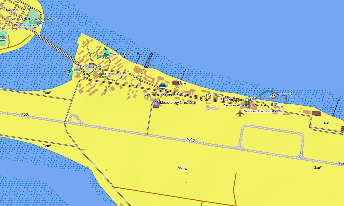
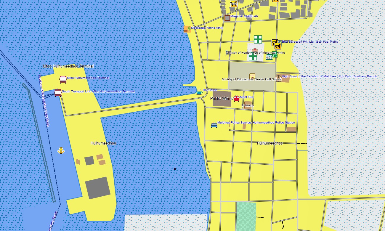
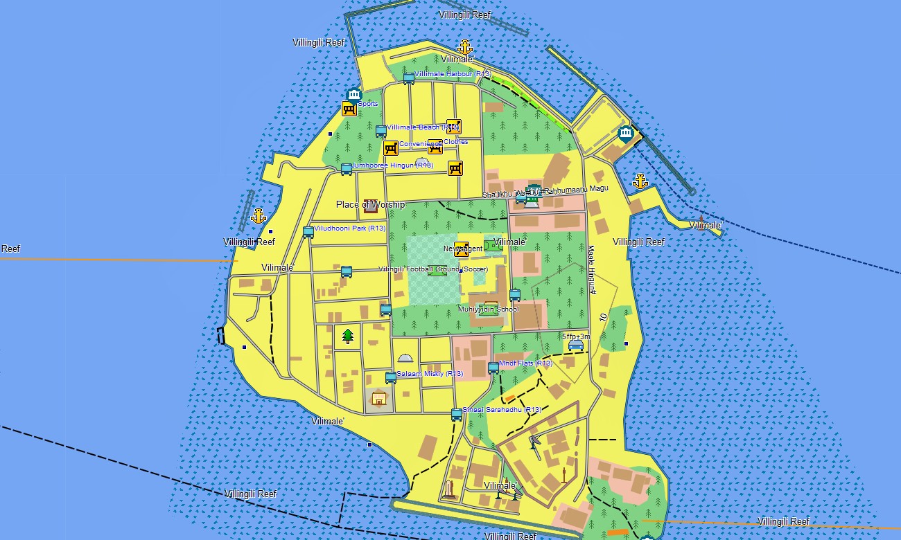
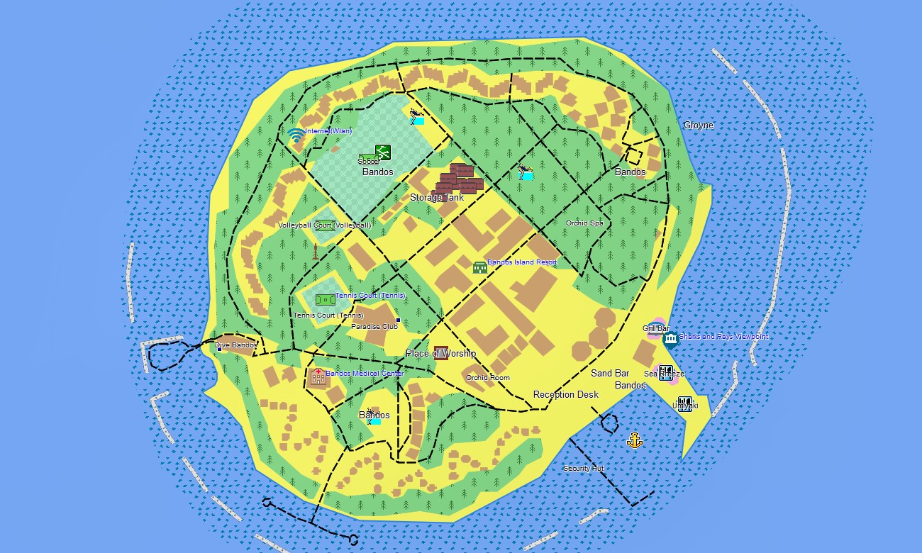
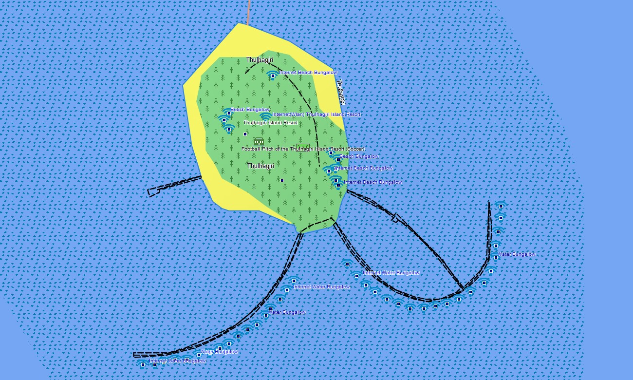
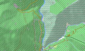
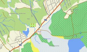
As a tailored OSM topo map, it integrates depth contours where available, reef rims, passes, island paths, jetties, and harbor areas. Open street maps Garmin layers add resort layouts, airstrips, piers, and village streets, while OSM topographic maps capture subtle elevation differences and embankments on low coral islands. Routing-capable maps for Garmin navigator devices can assist with inter-island approach routes along marked channels where routable data exists. For other areas, the Garmin GPS map still delivers accurate positional context for manual navigation decisions and anchorage planning.
Garmin OSM maps can be loaded as a map for Garmin watch on supported multisport watches used by divers, sailors, and swimmers. Users can view OSM topo map islands, lagoons, and track logs directly on the wrist, aiding orientation between dives or island runs. Layered cartography combines coastlines, lagoon features, air and sea access points, and settlement detail into a single Garmin map. This makes topographic maps for Garmin especially useful for liveaboard crews, resort logistics teams, and water-sports operators. Delivered as downloadable Garmin maps, the Maldives package is provided via a download Garmin map link and updated periodically to reflect new resort developments, harbors, and infrastructure.
Key Features:
- Topographic maps for Garmin covering the Maldives with island outlines, reef rims, channels, harbor areas, paths, airstrips, and light elevation contours
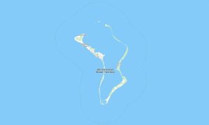
- Natural features such as lagoons, sandbanks, coral reefs, shallow flats, and ocean drop-offs are clearly depicted on the OSM topographic maps
- OSM topo map data helps users distinguish islands, reef edges, and sheltered waters for safer small-boat and dinghy operations
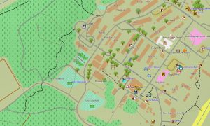
- Open street maps Garmin layers provide resort maps, village streets, jetties, and service infrastructure on key islands
- Routing on maps for Garmin navigator units is available where suitable data exists, supporting selected boat and transfer routes
- Outdoor maps Garmin users can download Garmin map tiles focused on specific atolls or regions to optimize device storage
- Garmin OSM maps run on compatible handheld GPS receivers and can be used as a map for Garmin watch on selected models
- The Garmin map, implemented as an OSM map tourist Garmin solution, turns the Garmin GPS map into a practical tool for marine tourism, resort logistics, and water-based exploration in the Maldives
Only logged in customers who have purchased this product may leave a review.
Reviews
There are no reviews yet.