
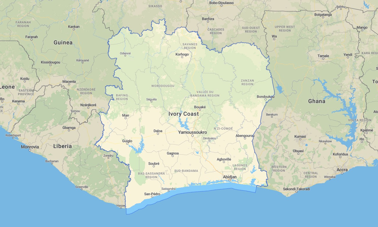
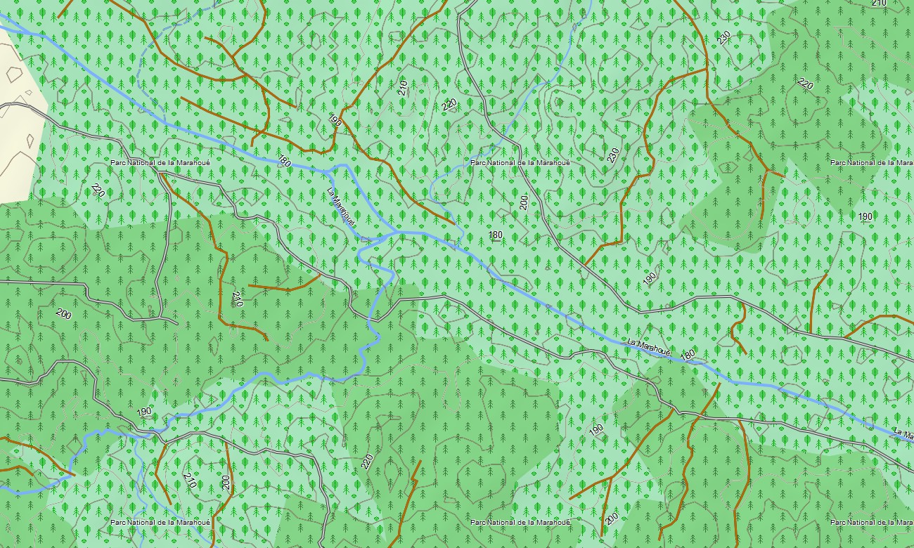
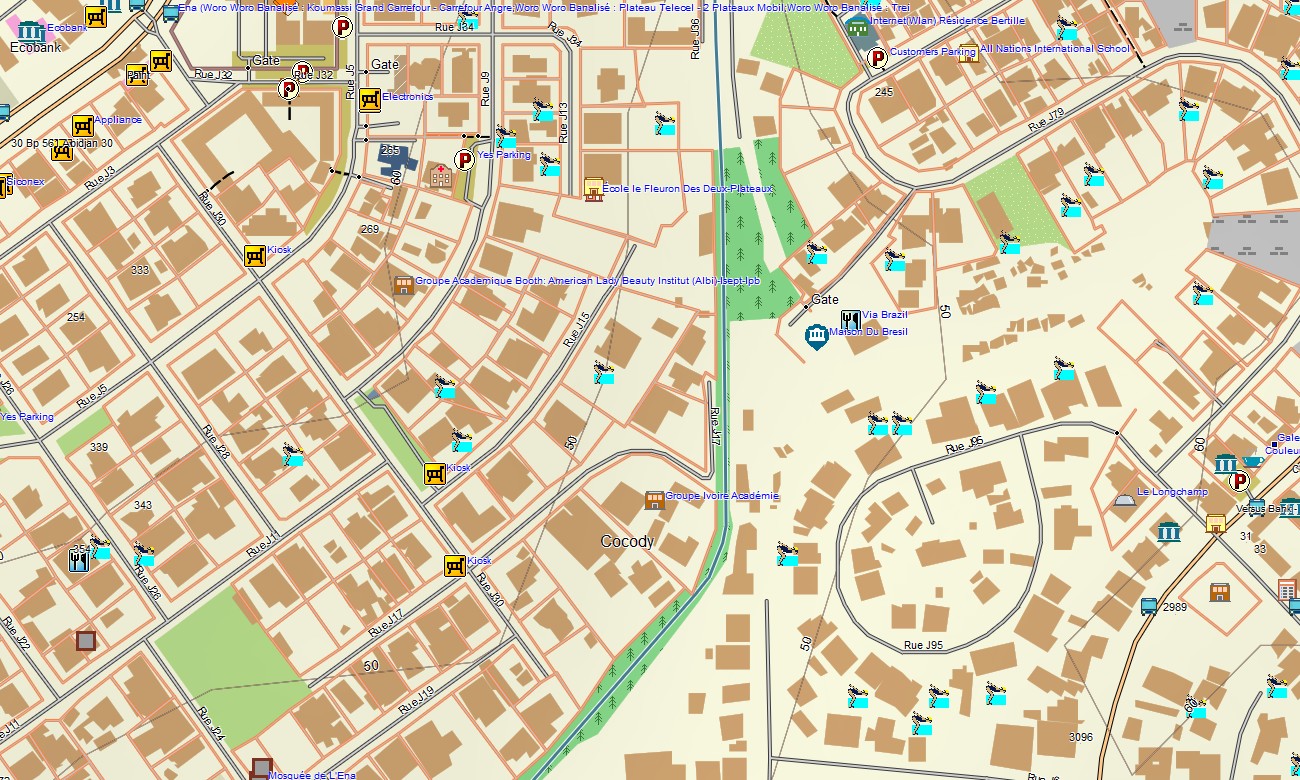
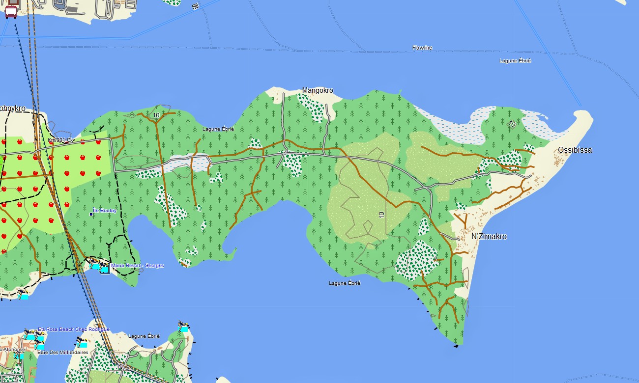
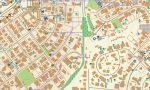
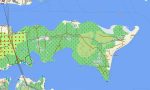
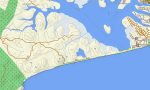
Ivory Cost Garmin topographic map
$29
Ivory Cost topo map for Garmin
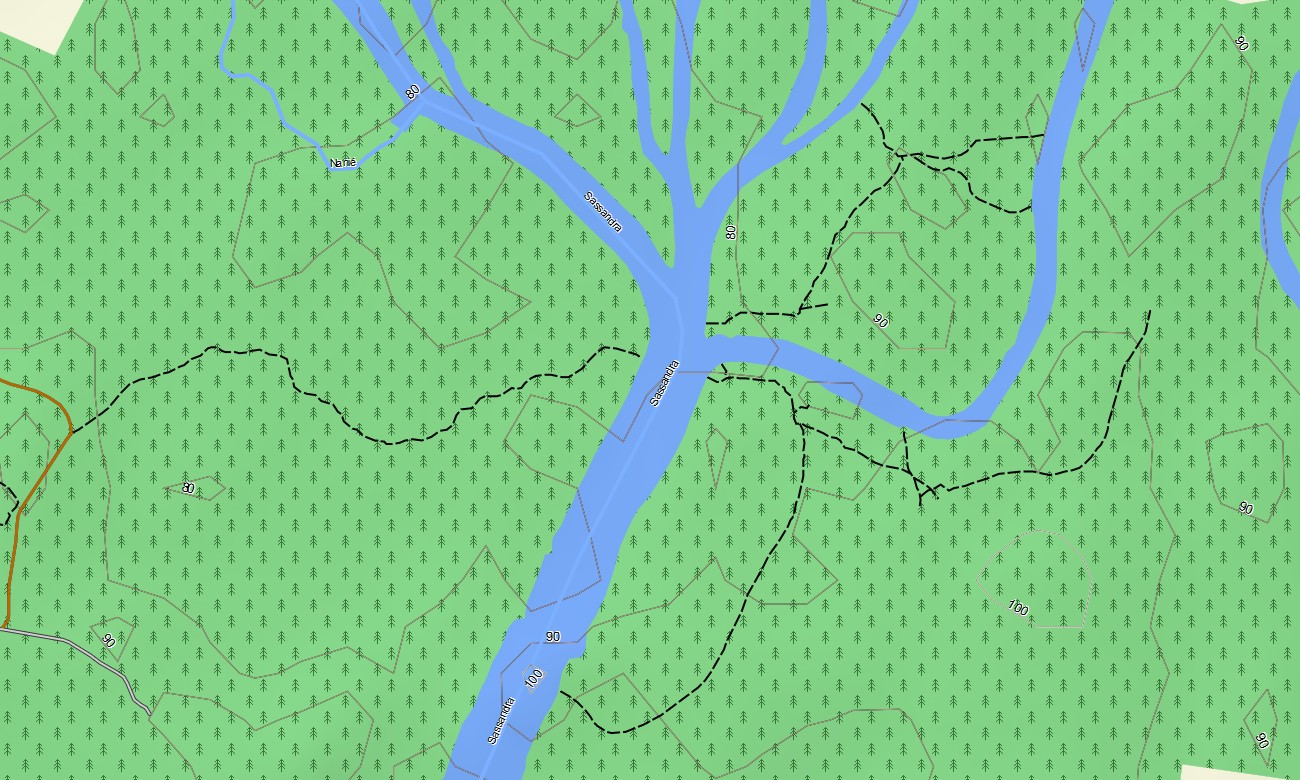
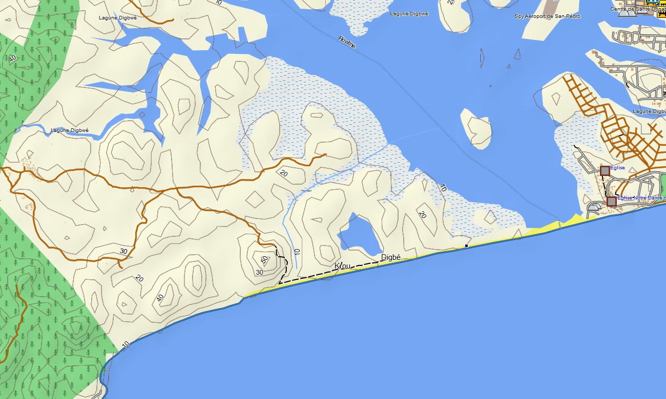
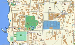
Discover the stunning landscapes and cultural richness of the Ivory Coast with the Ivory Coast Garmin topo map. This detailed topographic map is designed for Garmin navigators and watches, providing essential insights into terrains, elevations, and notable landmarks such as the Basilica of Our Lady of Peace and the vibrant markets of Abidjan. Experience seamless navigation while trekking through lush rainforests or exploring urban areas.
Employing data from OpenStreetMap (OSM), our comprehensive Garmin map ensures you’ll never lose your way. From remote hiking trails to bustling city streets, the Ivory Coast Garmin topo map is your perfect adventure companion.
Explore the captivating beauty of the Ivory Coast with the Ivory Coast Garmin topo map, crafted specifically for Garmin navigators and watches. This detailed map utilizes accurate OpenStreetMap (OSM) data, offering an extensive view of crucial terrains, including hills, rivers, and urban areas. With its user-friendly features, outdoor enthusiasts and urban explorers alike can navigate effortlessly through various landscapes.
This Garmin topographic map covers an array of points of interest, including vibrant markets, historical sites, and natural attractions. Whether you’re charting a course through the rugged terrain of the rainforest or navigating the streets of Abidjan, the Ivory Coast Garmin map equips you with all the necessary details to enhance your journey. Enjoy the freedom of offline access, making it perfect for your adventures in remote regions with limited connectivity.
Designed to support long-distance navigation, the Ivory Coast Garmin topo map is compatible with a wide range of Garmin devices, ensuring you stay connected wherever your travels take you. Accurate elevation contours and comprehensive road coverage make this map an essential tool for both casual explorers and serious adventurers alike.
Key Features:
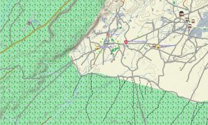
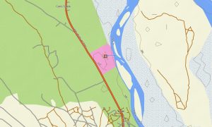
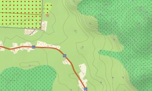
- Detailed Garmin topo map of the Ivory Coast featuring roads, paths, rivers, and elevation contours
- OpenStreetMap (OSM) data displays landscapes, including rainforests, coastal areas, and rural terrain
- Comprehensive road coverage of highways, urban streets, and rural routes
- Points of interest like local markets, historical landmarks, and natural attractions
- Seamless routing support for driving, hiking, and outdoor navigation
- Fully offline map access for use in remote areas, ensuring reliability in no-signal regions
- Compatible with a variety of Garmin navigators and Garmin watches
- The map contains contours of heights
Only logged in customers who have purchased this product may leave a review.
Reviews
There are no reviews yet.