
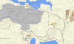
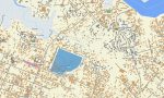
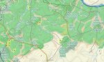
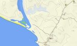
Liberia Garmin topographic map
$29
Liberia topo map for Garmin
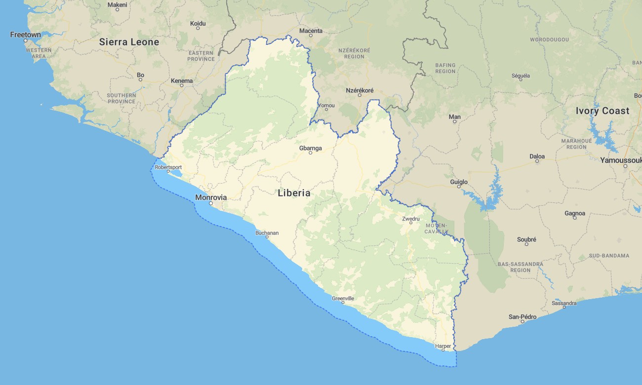
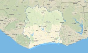
Explore Liberia’s coastlines and rainforests with this detailed topographic Garmin map, made for navigation across its varied environments. This comprehensive Garmin map covers the entire country, from the Atlantic beaches and mangroves through the interior forests and plateaus to the northern border regions, offering dependable guidance for travel and discovery.
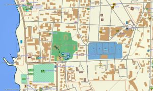
Ideal for rainforest hikes and coastal road journeys, this OSM map tourist Garmin solution integrates OpenStreetMap data with terrain detail for cities like Monrovia, main highways, and logging roads. These outdoor maps Garmin users depend on work completely offline. Instant download with regular free updates included ensures your Garmin GPS map is always ready for adventure.
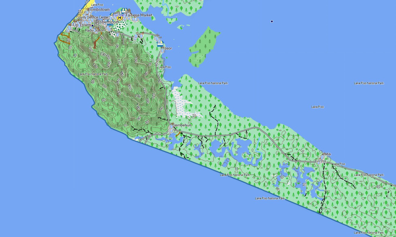
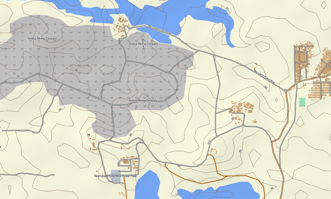
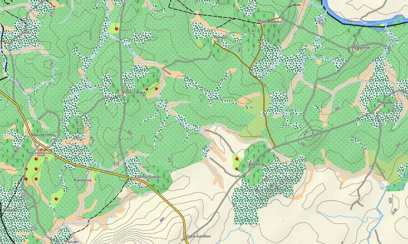
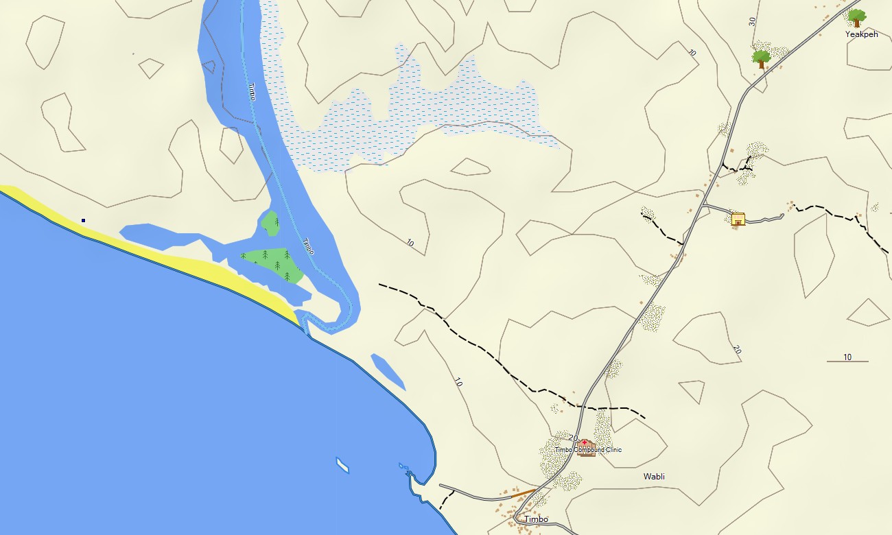
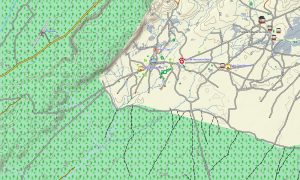
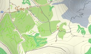
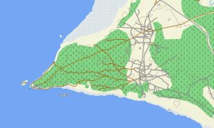
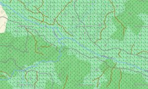
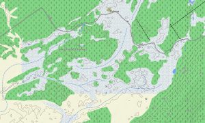
This Garmin GPS map acts as a comprehensive OSM topo map, displaying paved and unpaved roads, trails, rivers, creeks, lakes, and elevation contours. Natural features such as coastal lowlands, mangrove swamps, tropical rainforests, river basins. The detail in these topographic maps for Garmin is vital for exploring Liberia’s rich biodiversity and natural scenery.
Featuring integrated routing, these maps for Garmin navigator devices enable efficient route planning and turn-by-turn navigation on your device. Whether driving along the coastal highway, navigating through the interior’s road network, or exploring off the main paths, this Garmin map provides reliable guidance without internet access.
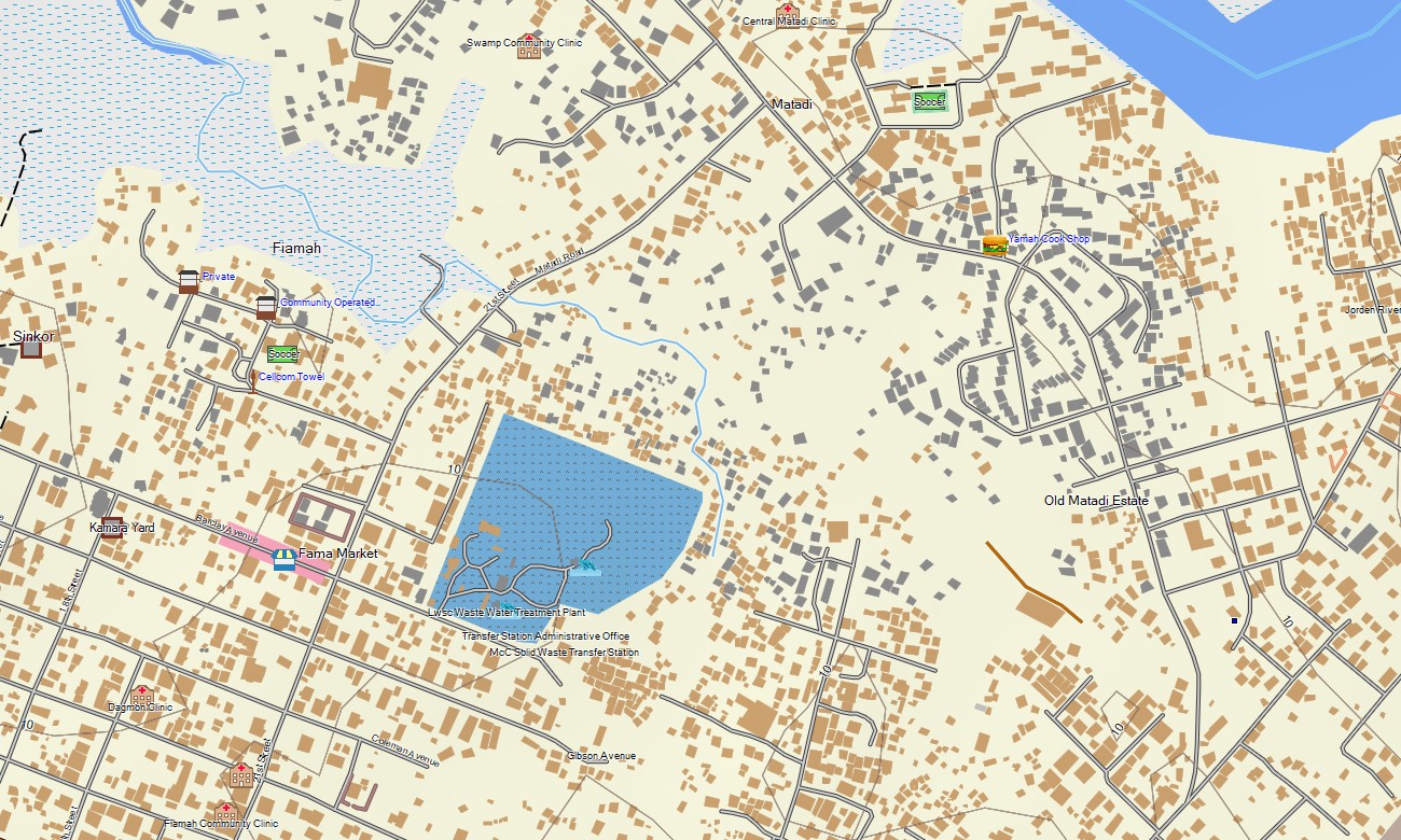
The map includes multiple layers: complete road coverage for national travel, detailed street maps for urban areas, and rich topographic data for wilderness exploration. After purchase, an instant download link is provided; installation is simple, and regular updates maintain the accuracy of your Garmin map over time.
Key Features:
- Topographic maps for Garmin covering Liberia with roads, highways, trails, rivers, creeks, lakes, swamps, and elevation contours
- Natural features including Atlantic coastline, mangrove ecosystems, tropical rainforests, river basins, lowland plains, and forested hills
- Complete road coverage of primary highways, secondary roads, urban streets, and remote forest tracks
- Points of interest: urban infrastructure, airports, seaports, historical sites, museums, markets, churches, universities, government buildings, hospitals, clinics, hotels, guesthouses, restaurants, fuel stations, banks, police stations, water towers, lighthouses, beaches, waterfalls
- Routing support for driving and navigation on compatible devices
- Full compatibility with handheld GPS units, vehicle navigators, and as a map for Garmin watch models
- The map contains contours of heights
Only logged in customers who have purchased this product may leave a review.
Reviews
There are no reviews yet.