
New Brunswick Garmin topographic map
$25
New Brunswick topo map for Garmin
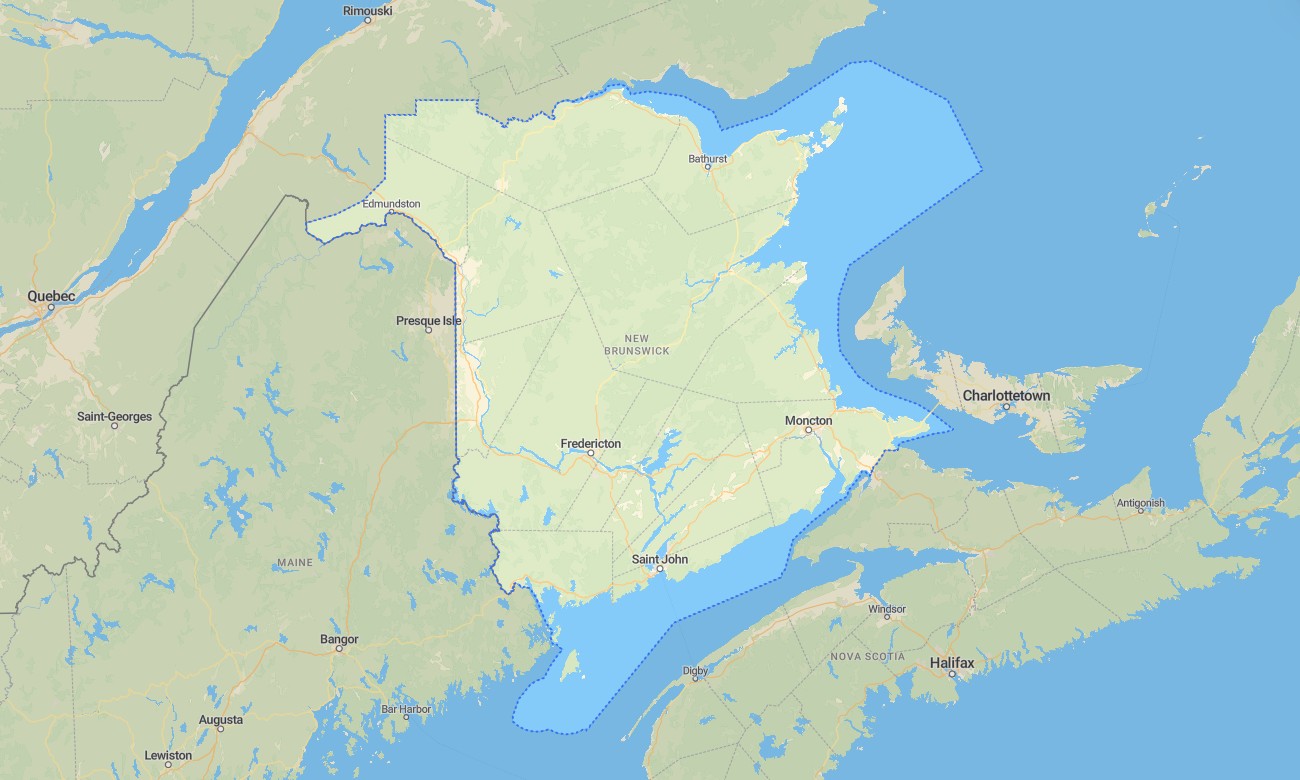
New Brunswick offers a balanced mix of forested highlands, river valleys, Acadian coastal communities, Fundy cliffs, inland lakes, and cross-border travel corridors. With detailed Garmin maps, travelers can move confidently between Fredericton, Moncton, Saint John, Edmundston, Fundy National Park, and the Northumberland coast. A dependable Garmin GPS map is especially helpful for offline navigation through wooded rural areas and long stretches between services.
This Garmin map is suitable for highway touring, camping, fishing trips, cycling, hiking, and scenic drives. Built as an OSM map tourist Garmin product, it includes practical detail for travelers exploring the Fundy Trail Parkway, Hopewell Rocks, Kouchibouguac National Park, the Saint John River Valley, and remote timber roads. These outdoor maps Garmin users value provide guidance where phone service may be weak.
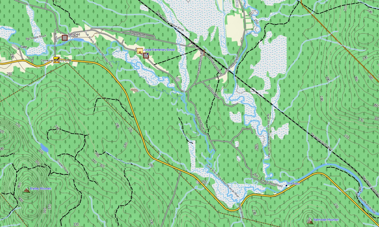
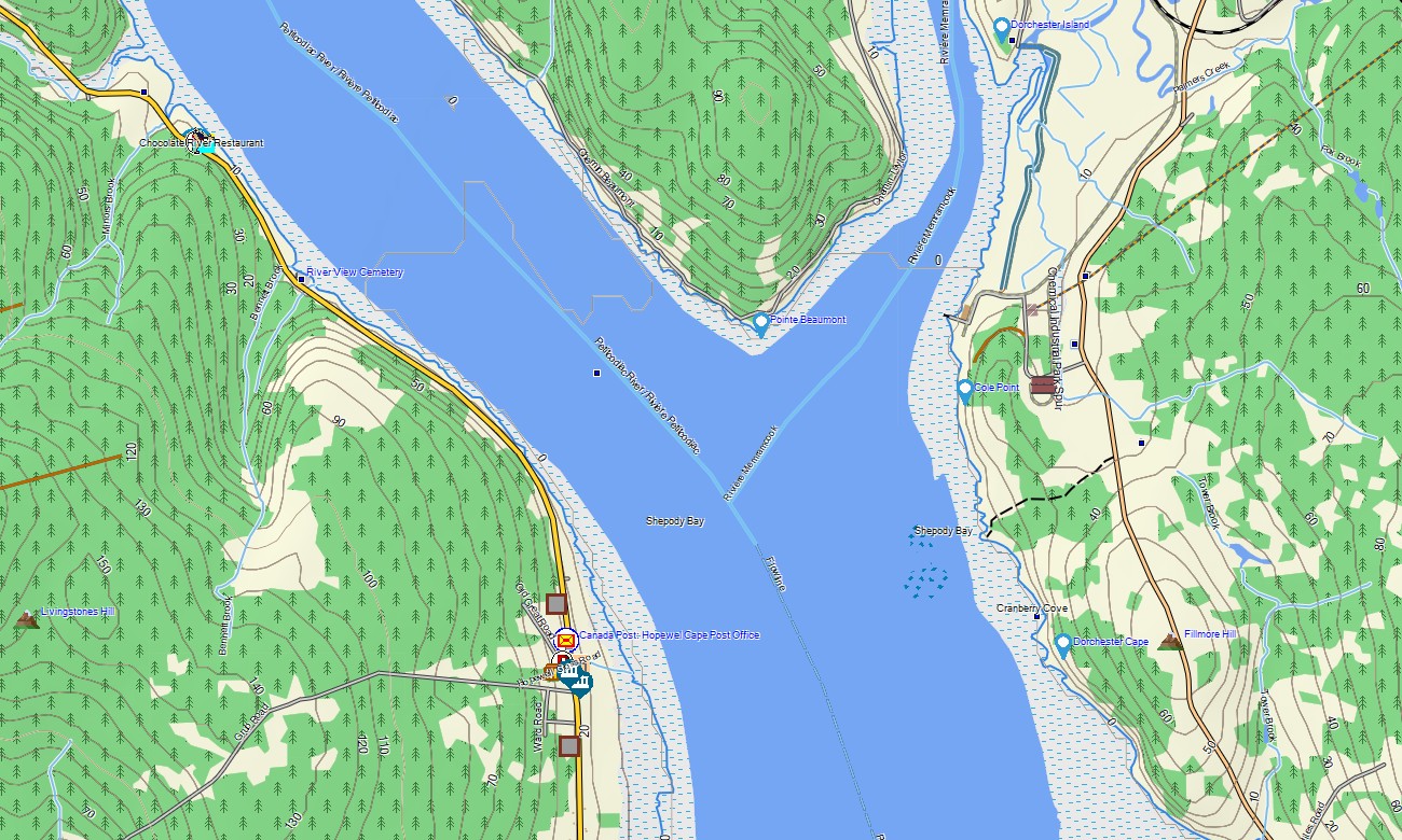
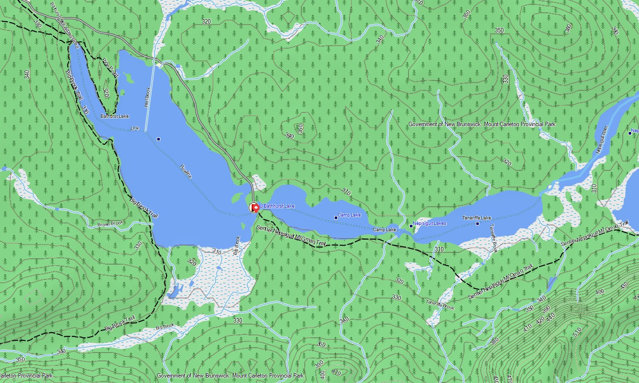
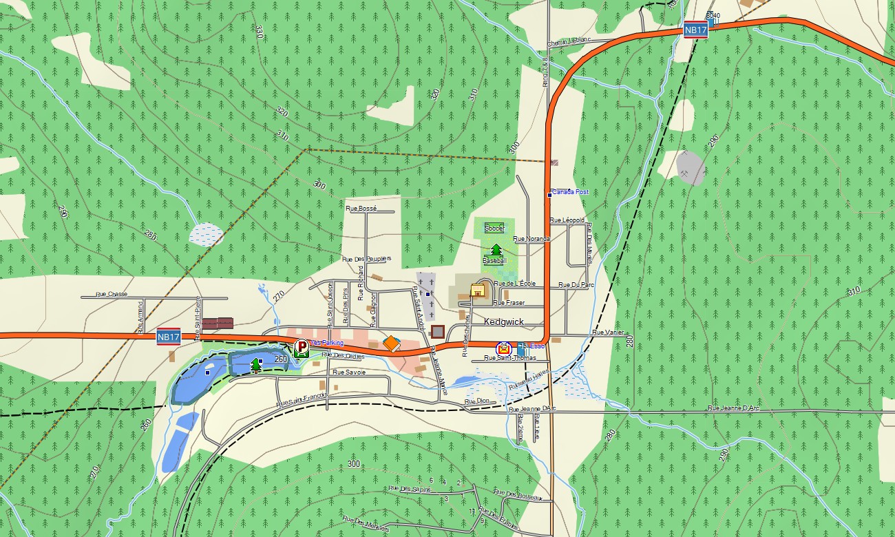
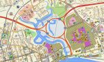
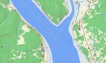
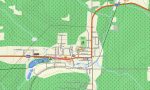
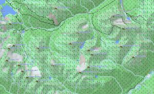
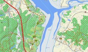
The province’s terrain includes tidal zones, Appalachian foothills, lakes, rivers, wetlands, and extensive forest. This Garmin GPS map functions as an OSM topo map, displaying roads, trails, waterways, shorelines, bridges, parks, settlements, and elevation contours. The OSM topographic maps help users assess grades, valleys, coastal bluffs, and access routes to natural attractions.
Maps for Garmin navigator devices are practical for road trips, RV travel, cross-province touring, and finding rural destinations. A map for Garmin watch is helpful for hiking park trails, cycling river routes, and exploring coastal paths without carrying a handheld device.
Created with open street maps Garmin compatible data and included in our Garmin OSM maps catalog, this product combines road, trail, POI, hydrography, and terrain layers. After purchase, customers can download Garmin map files for straightforward installation. These topographic maps for Garmin support reliable offline navigation across New Brunswick’s forests, coasts, cities, and river corridors.
Key Features:
- Topographic maps for Garmin covering New Brunswick with highways, rural roads, forest tracks, trails, rivers, lakes, wetlands, coastline, parks, and elevation contours
- Natural features include the Bay of Fundy, Hopewell Rocks, Appalachian foothills, Saint John River, Miramichi region, Acadian coast, forests, and inland lakes
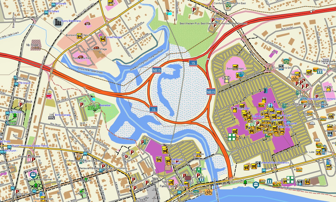
- Road coverage includes Trans-Canada routes, provincial highways, local streets, scenic parkways, park access roads, bridges, and rural connectors
- Points of interest include campgrounds, viewpoints, covered bridges, historic towns, beaches, ferry access points, trailheads, marinas, visitor centers, and protected natural areas
- Routing support works on compatible Garmin devices for touring, outdoor recreation, and regional navigation
Only logged in customers who have purchased this product may leave a review.
Reviews
There are no reviews yet.