
New Mexico Garmin topographic map
$25
New Mexico topo map for Garmin
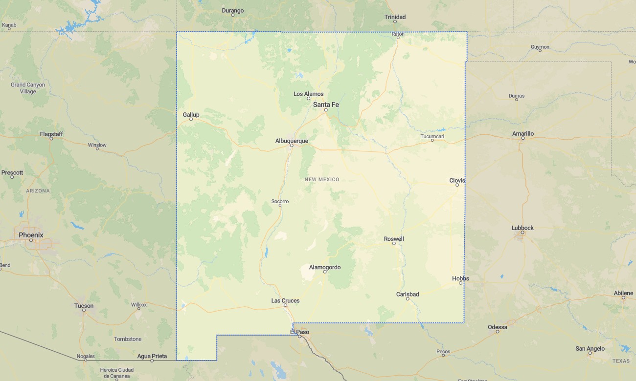
Explore New Mexico’s desert basins, volcanic mesas, high mountain forests, river valleys, pueblos, and canyon landscapes with detailed Garmin maps created for offline travel and outdoor navigation. This Garmin GPS map covers Albuquerque, Santa Fe, Las Cruces, Taos, Farmington, Roswell, the Rio Grande corridor, Gila country, high plateaus, and remote desert communities.
Designed as an OSM map tourist Garmin solution, it supports hiking, scenic drives, camping, archaeological sightseeing, cycling, and backcountry route planning. These outdoor maps Garmin users depend on are valuable across wide open spaces, mountain foothills, and dry canyon terrain where a Garmin map helps maintain reliable orientation without mobile coverage.
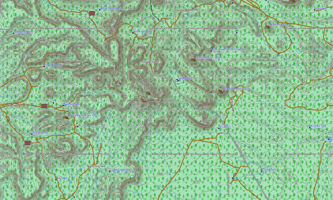
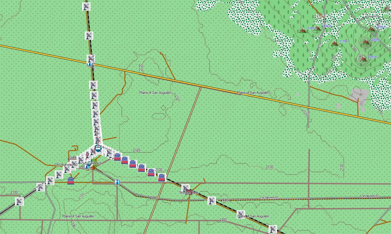
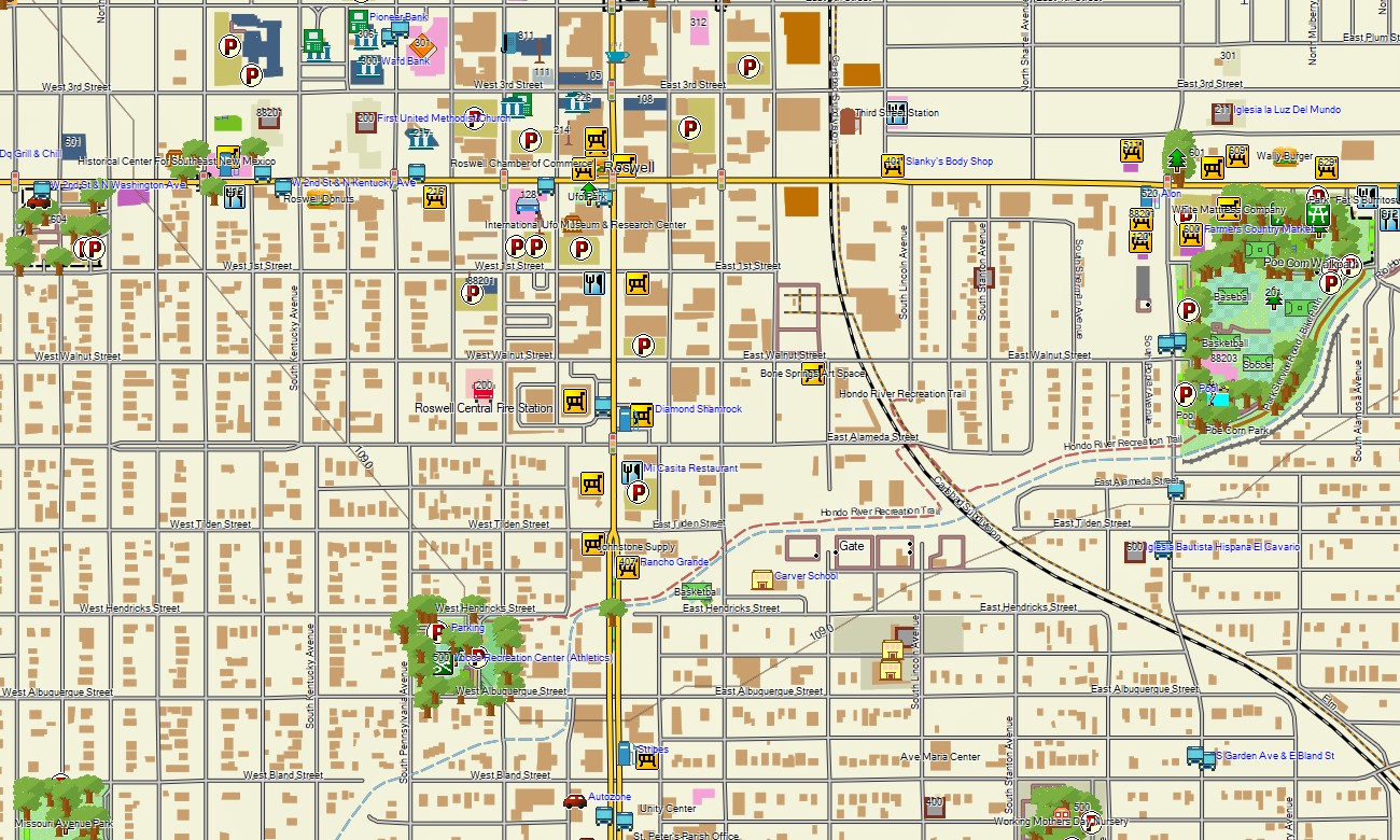
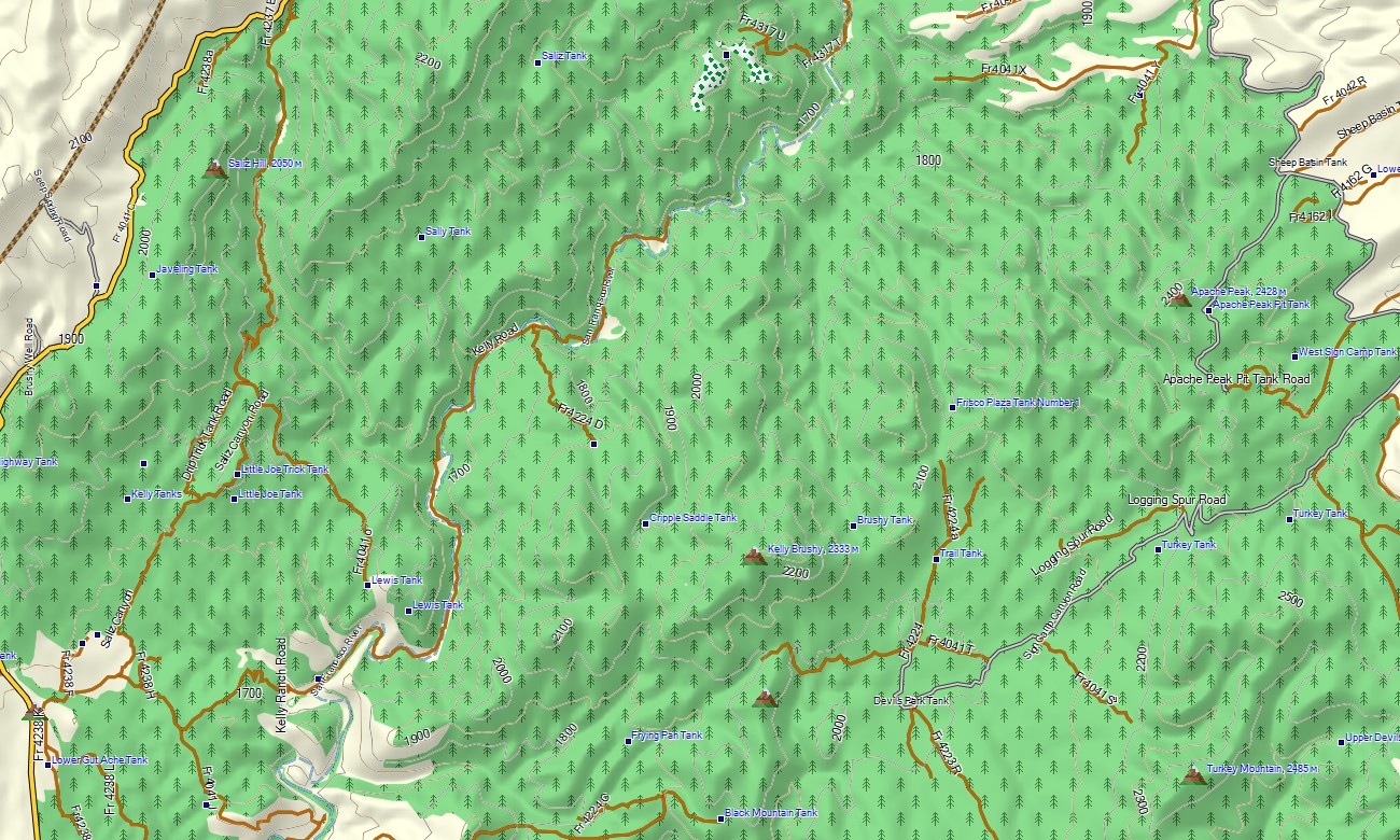
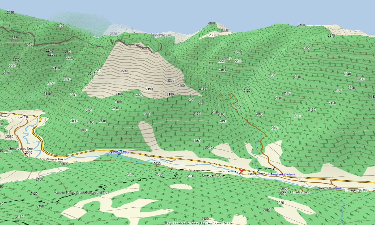
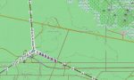
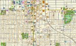
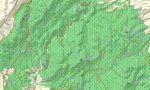
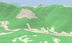
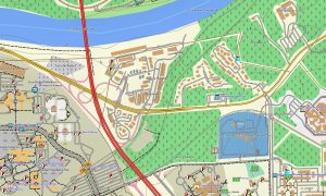
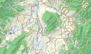
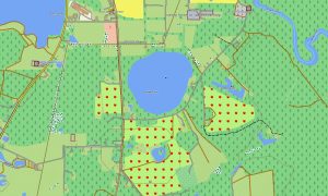
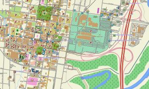
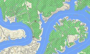
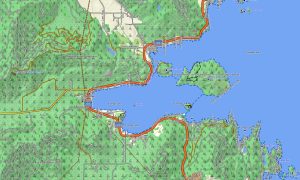
This Garmin GPS map works as an OSM topo map, displaying city streets, rural roads, desert tracks, trails, arroyos, rivers, reservoirs, mesas, lava fields, forested slopes, canyons, and elevation contours. Created from open street maps Garmin compatible data, these OSM topographic maps help travelers understand the state’s dramatic mix of high desert and alpine terrain.
Maps for Garmin navigator devices support routing through towns, cultural destinations, recreation areas, and long intercity corridors where compatible routing data is available. Whether navigating Santa Fe’s historic streets, exploring trails near Taos, or approaching remote desert viewpoints, this Garmin map provides dependable offline guidance.
The map combines road networks, settlement detail, topographic elevation contours, water features, recreation paths, public-land access references, and important cultural landmarks. After purchase, use the download Garmin map link for installation on compatible devices. Garmin OSM maps are useful for handheld GPS units, automotive receivers, outdoor navigation devices, and selected models that accept a map for Garmin watch.
Key Features:
- Topographic maps for Garmin covering New Mexico with roads, tracks, trails, arroyos, rivers, reservoirs, and elevation contours
- Natural features such as desert basins, mesas, volcanic fields, mountain forests, canyons, badlands, and river valleys
- Road coverage including urban streets, state roads, county routes, rural connectors, desert tracks, and park access roads
- Points of interest: pueblos, archaeological sites, missions, hot springs, viewpoints, campgrounds, trailheads, monuments
- Routing support for driving and regional travel on compatible Garmin devices
- Compatible with handheld GPS units, automotive navigators, and selected Garmin watch models
Only logged in customers who have purchased this product may leave a review.
Reviews
There are no reviews yet.