

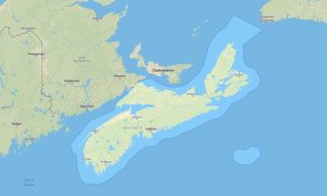
Prince Edward Island Garmin topographic map
$25
Prince Edward Island topo map for Garmin
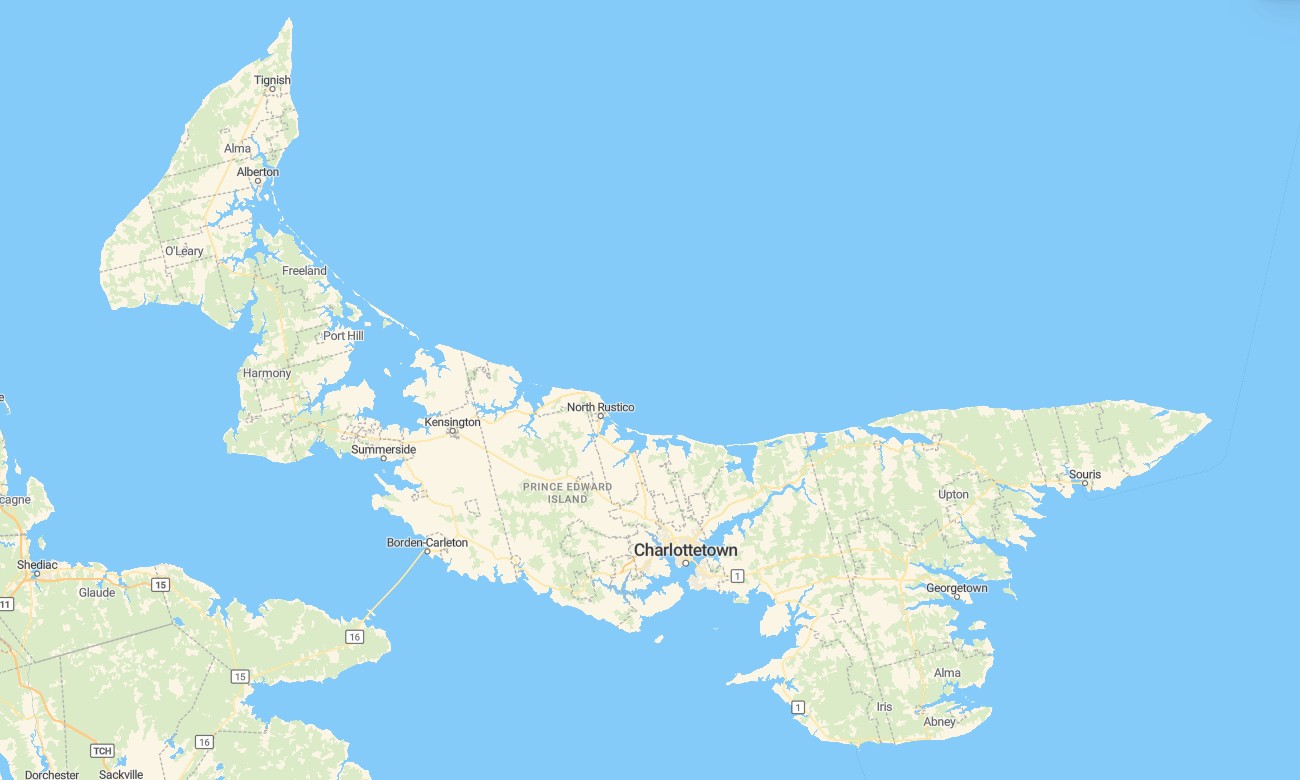
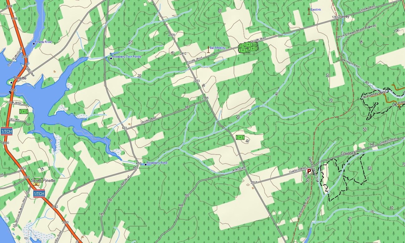
Prince Edward Island is a compact Canadian province with rich coastal scenery, red-sand beaches, farmland roads, cycling routes, small harbors, and historic communities. Detailed Garmin maps make it easy to explore Charlottetown, Summerside, Cavendish, Greenwich, and the island’s scenic coastal drives. A dependable Garmin GPS map is especially useful for visitors who want offline guidance while touring rural lanes, beaches, parks, and shoreline viewpoints.
This Garmin map is designed for relaxed road trips, bicycle touring, walking routes, camping holidays, and family travel across the island. As an OSM map tourist Garmin product, it provides local detail for travelers following the Confederation Trail, visiting Prince Edward Island National Park, or moving between fishing villages and agricultural landscapes.
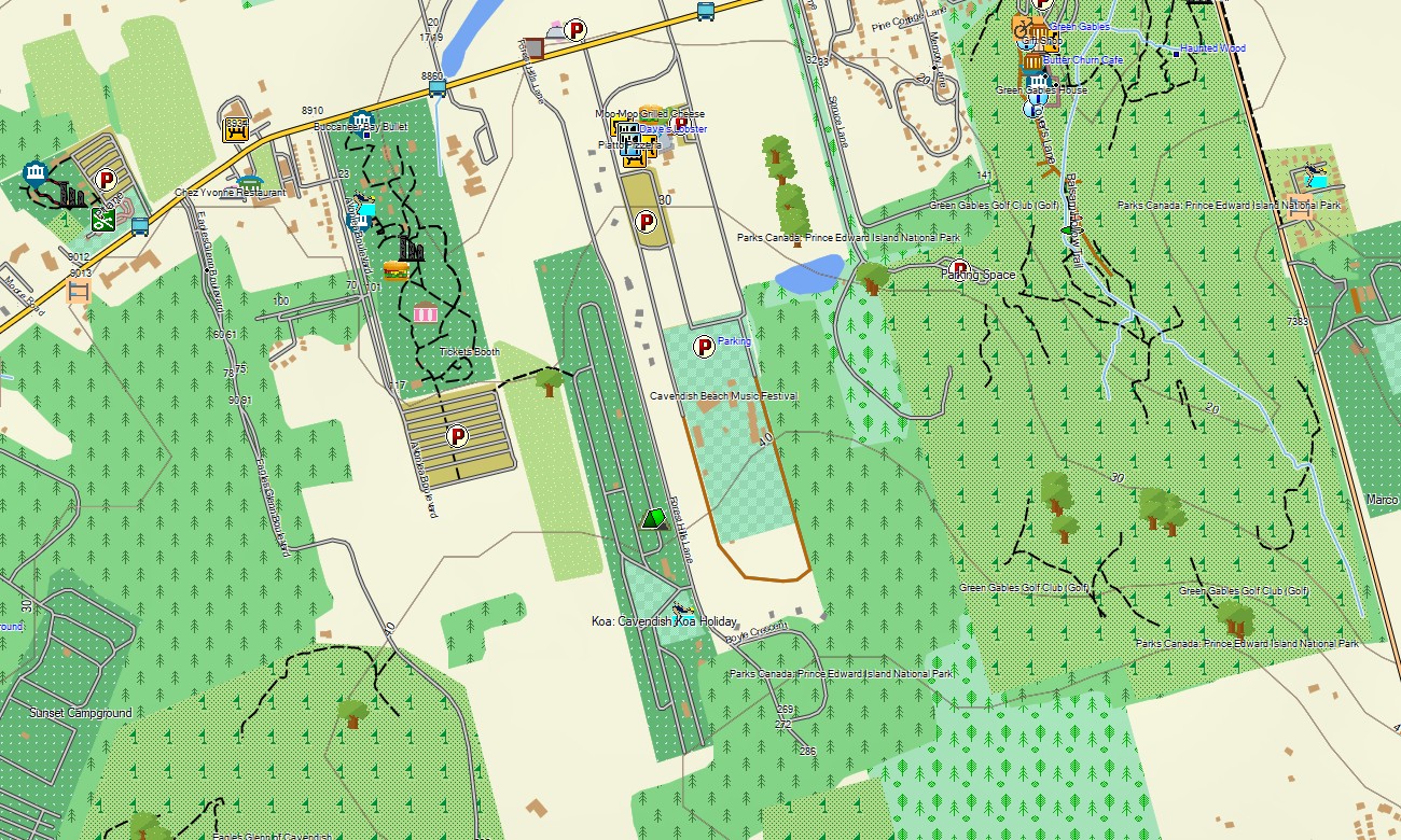
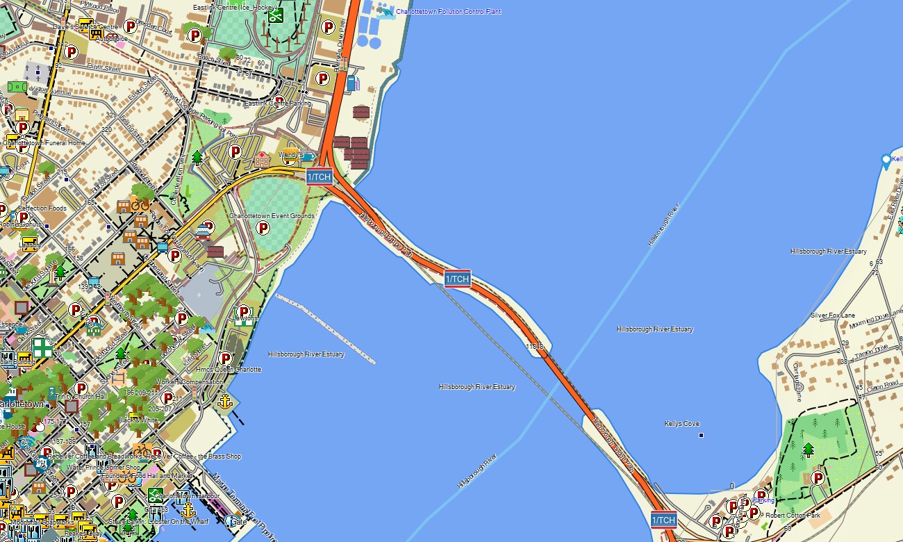
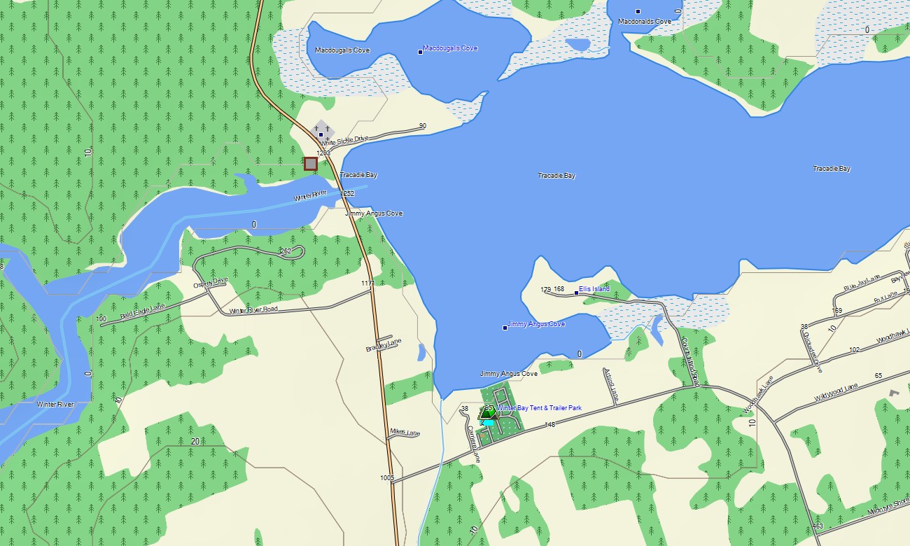
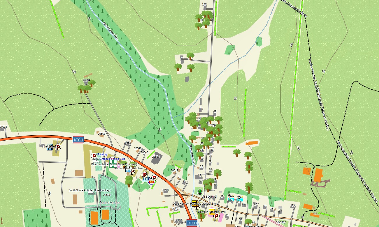
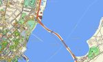
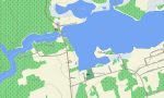
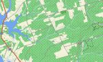
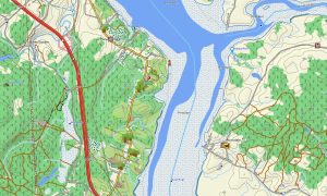
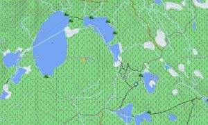
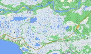
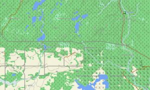
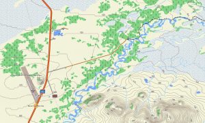
These outdoor maps Garmin users choose are practical for planning both short excursions and full-island loops. This Garmin GPS map works as an OSM topo map, presenting roads, paths, rivers, wetlands, beaches, ferry approaches, bays, and elevation contours. The included OSM topographic maps help users recognize coastal changes, river valleys, dune systems, and access points near protected shorelines.
Maps for Garmin navigator devices are helpful for car touring, RV travel, scenic drives, and locating rural accommodations. A map for Garmin watch can support cyclists, runners, and walkers exploring Charlottetown waterfront paths, Confederation Trail sections, and beachside routes where a phone is inconvenient.
Based on open street maps Garmin compatible sources and delivered within our Garmin OSM maps collection, the product includes road, trail, POI, shoreline, and terrain layers. Customers can download Garmin map files after purchase and install them on compatible devices. These topographic maps for Garmin provide convenient offline navigation for discovering Prince Edward Island at your own pace.
Key Features:
- Topographic maps for Garmin covering Prince Edward Island with highways, rural roads, city streets, cycling paths, trails, rivers, wetlands, beaches, coastline, harbors, and elevation contours
- Natural features include red-sand beaches, Gulf of St. Lawrence shores, Northumberland Strait, dunes, bays, farmland, rivers, and protected coastal habitats
- Road coverage includes Confederation Bridge approaches, scenic coastal drives, park roads, town streets, rural connectors, and access routes to beaches and campgrounds
- Points of interest include lighthouses, harbors, viewpoints, historic sites, campsites, ferry terminals, golf areas, trailheads, and visitor centers
- Routing support is available on compatible Garmin devices for touring, cycling, walking, and island navigation
Only logged in customers who have purchased this product may leave a review.
Reviews
There are no reviews yet.