
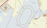
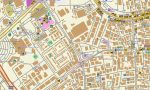
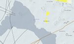
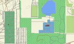
Qatar Garmin topographic map
$22
Qatar topo map for Garmin
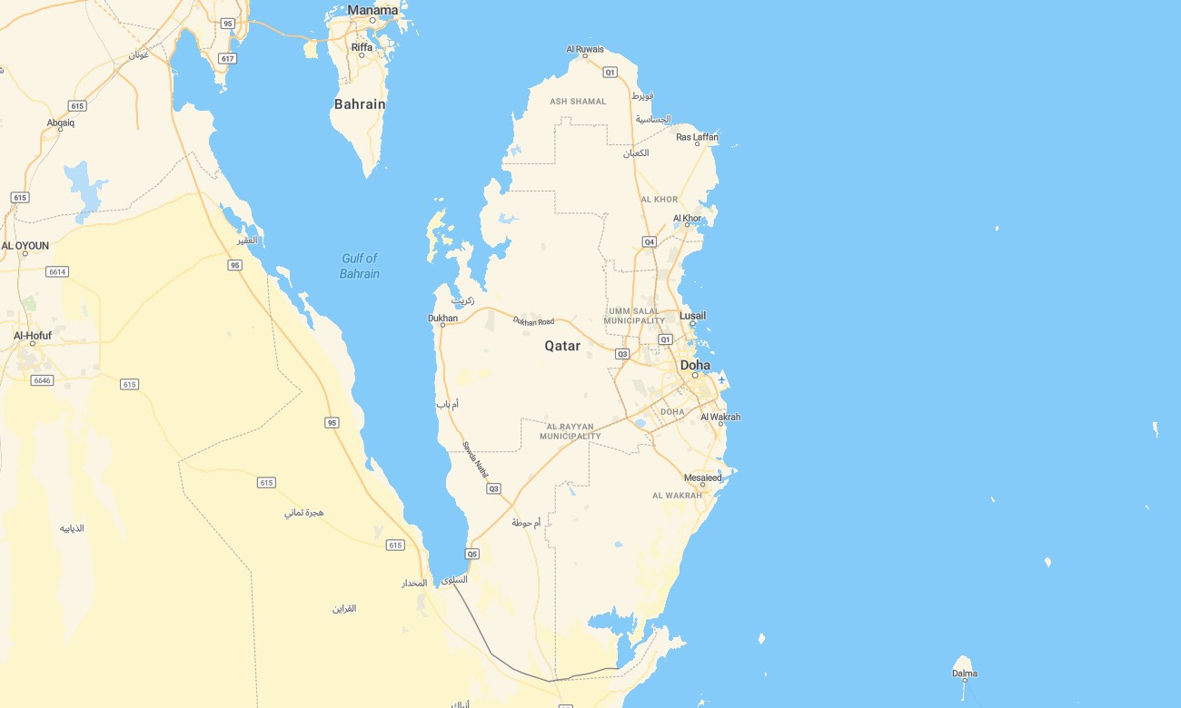
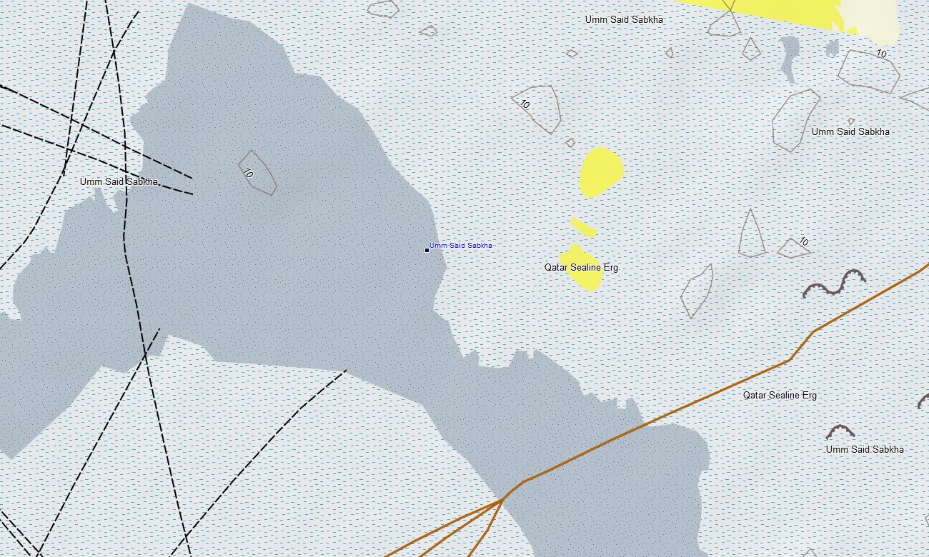
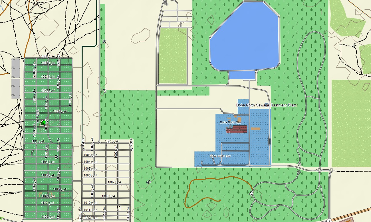
Navigate Qatar’s expressways, new developments, and desert hinterland with a compact topographic Garmin map optimized for modern infrastructure. This Garmin GPS map covers Doha, coastal routes, industrial zones, and inland tracks, upgrading basic Garmin maps with OSM topographic maps that add light relief and detailed transport information.
Conceived as an OSM map tourist Garmin and professional solution, it supports commuting, logistics, business travel, and leisure drives. These outdoor maps Garmin users rely on work fully offline, ensuring your Garmin map remains available in tunnels, construction zones, and remote desert areas.
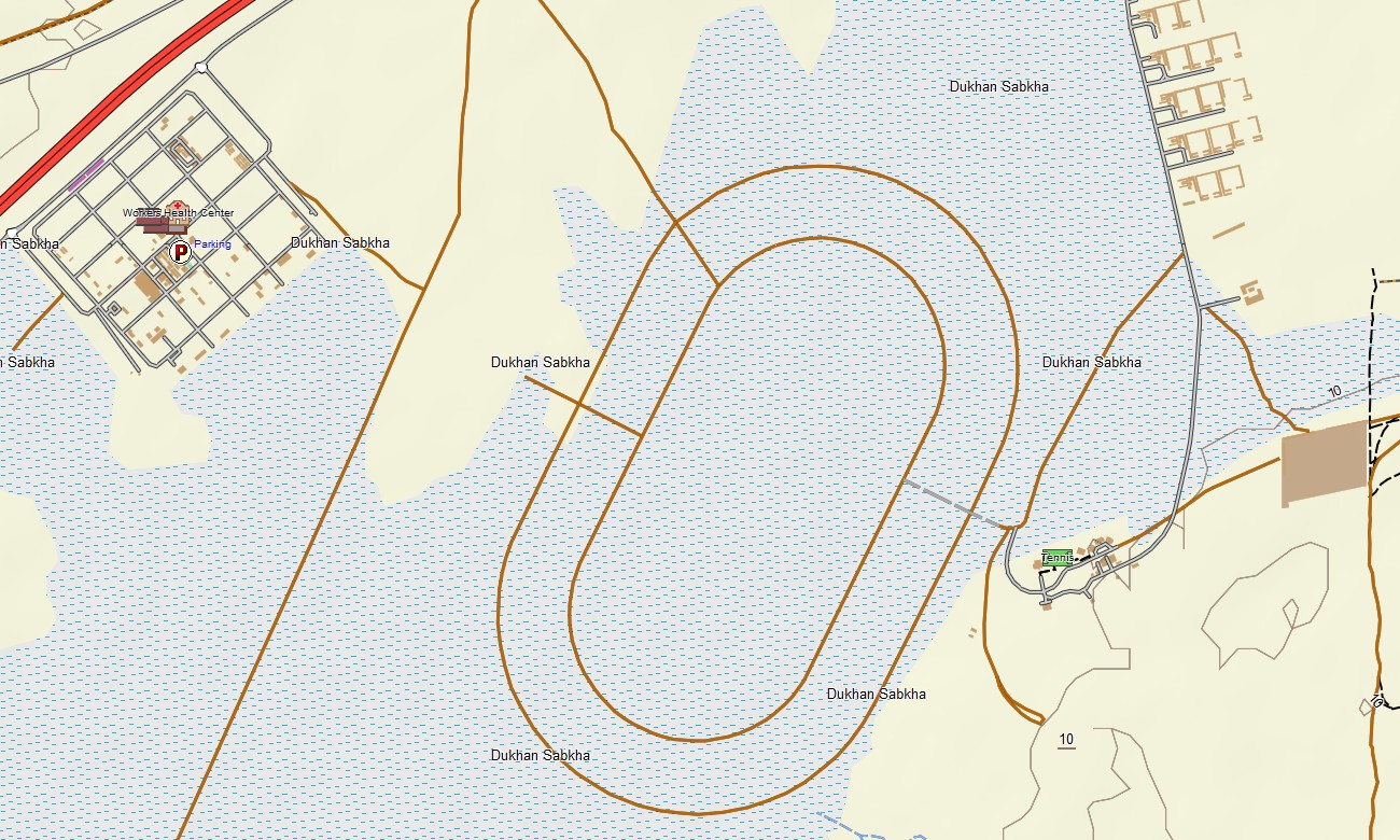
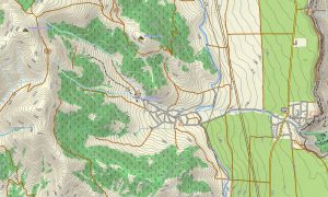
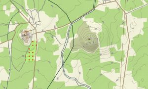
Operating as an OSM topo map, it overlays gentle contours, sabkha areas, wadis, coastlines, expressways, urban streets, and desert service tracks. Open street maps Garmin layers provide frequently updated road layouts, interchanges, and points of interest, while OSM topographic maps distinguish subtle elevation that shapes drainage and dune edges. Routing-capable maps for Garmin navigator devices calculate efficient paths along multilane corridors, city streets, and access roads to stadiums, industrial sites, and coastal resorts. A single Garmin GPS map thus supports daily commuting and complex routing tasks.
Garmin OSM maps may also be used as a map for Garmin watch on compatible running and cycling models. Athletes can follow OSM topo map routes along waterfronts, cycle tracks, and desert loops directly on the wrist. The Garmin map integrates roads, relief, shoreline, and built-up areas into one clear view, making topographic maps for Garmin a useful planning tool for residents, visitors, and fleet operators. Distributed as downloadable Garmin maps, the Qatar product is provided via a download Garmin map link and updated regularly to reflect rapid infrastructure changes.
Key Features:
- Topographic maps for Garmin covering Qatar with expressways, arterial roads, local streets, industrial access roads, desert tracks, wadis, coastline, and elevation contours
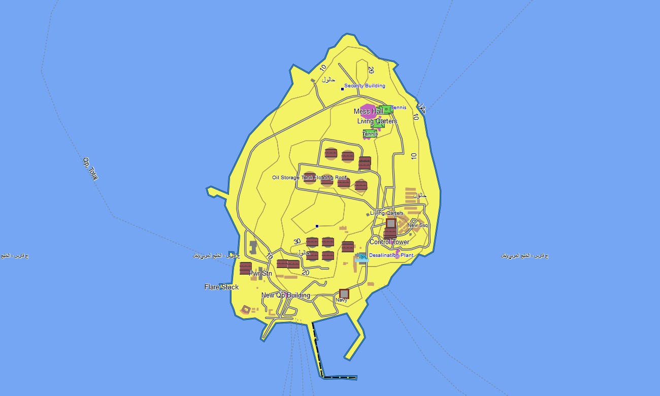
- Natural and modified landscapes such as coastal flats, low dunes, sabkhas, man-made islands, and reclaimed land are shown on the OSM topographic maps
- OSM topo map data gives enough relief information to understand subtle height changes and drainage lines in flat terrain
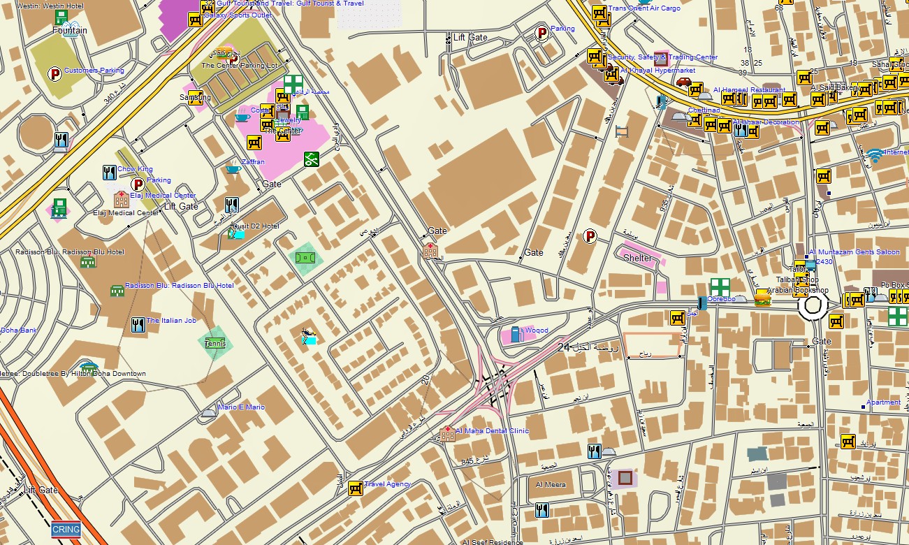
- Open street maps Garmin layers supply detailed city mapping, interchanges, service areas, and public facilities in Doha and other towns
- Routing on maps for Garmin navigator units supports commuting, delivery operations, event logistics, and visitor travel with offline guidance
- Outdoor maps Garmin users can download Garmin map tiles for the entire country or focused zones depending on storage
- Garmin OSM maps operate on handheld GPS receivers and can be configured as a map for Garmin watch on supported devices
- The Garmin map, using an OSM map tourist Garmin base, turns the Garmin GPS map into a robust tool for everyday navigation and professional use in Qatar
Only logged in customers who have purchased this product may leave a review.
Reviews
There are no reviews yet.