
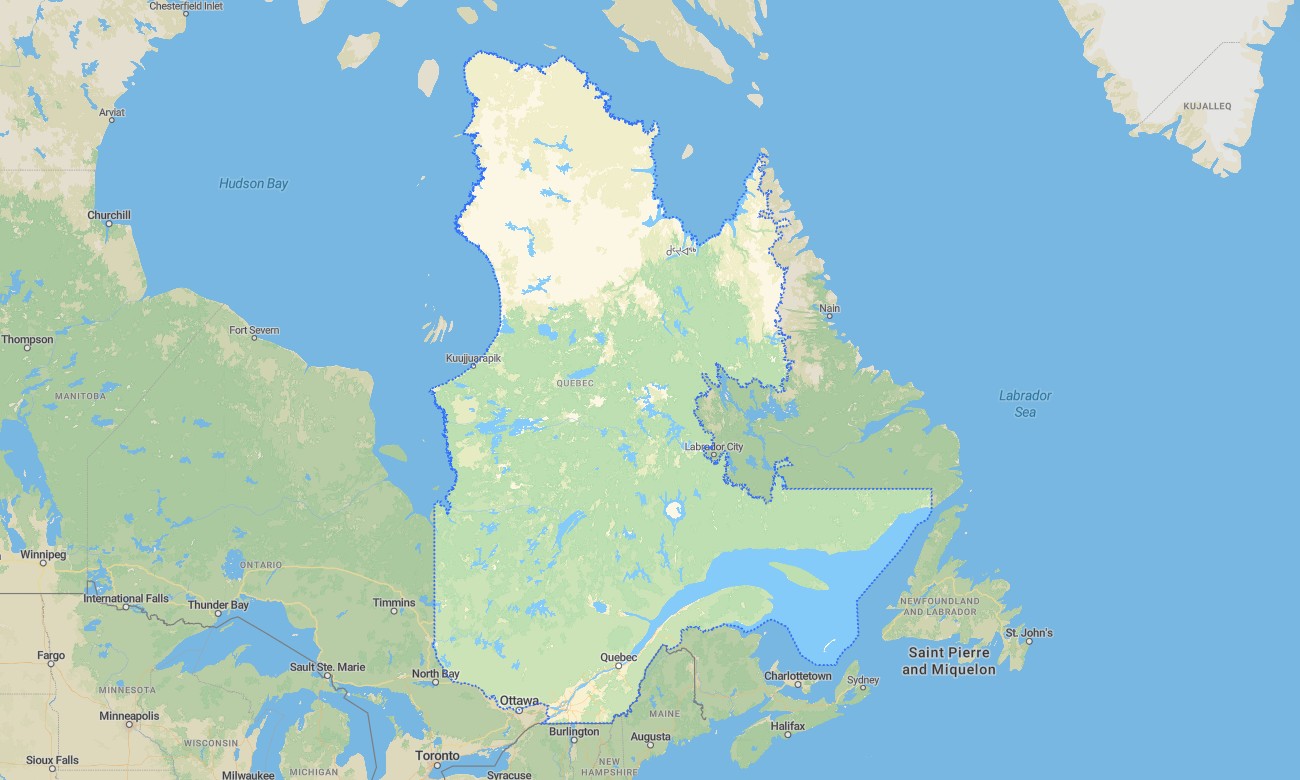
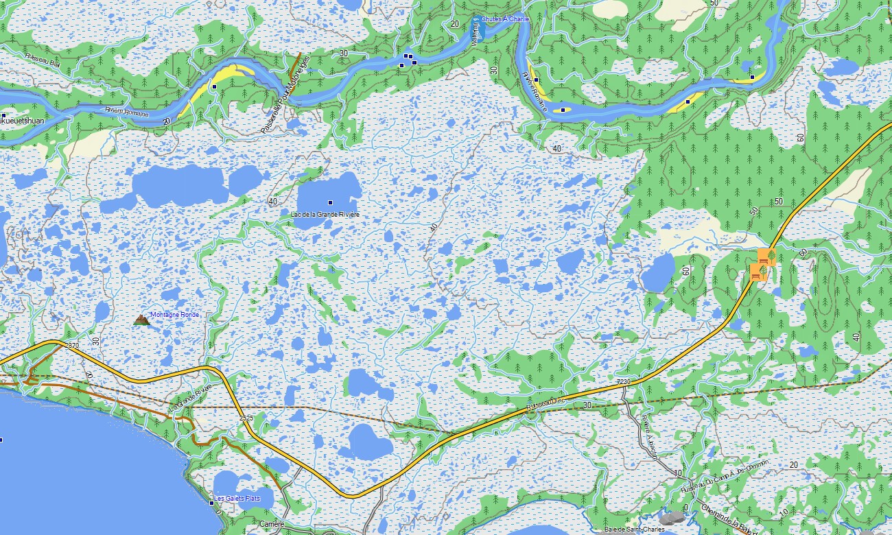
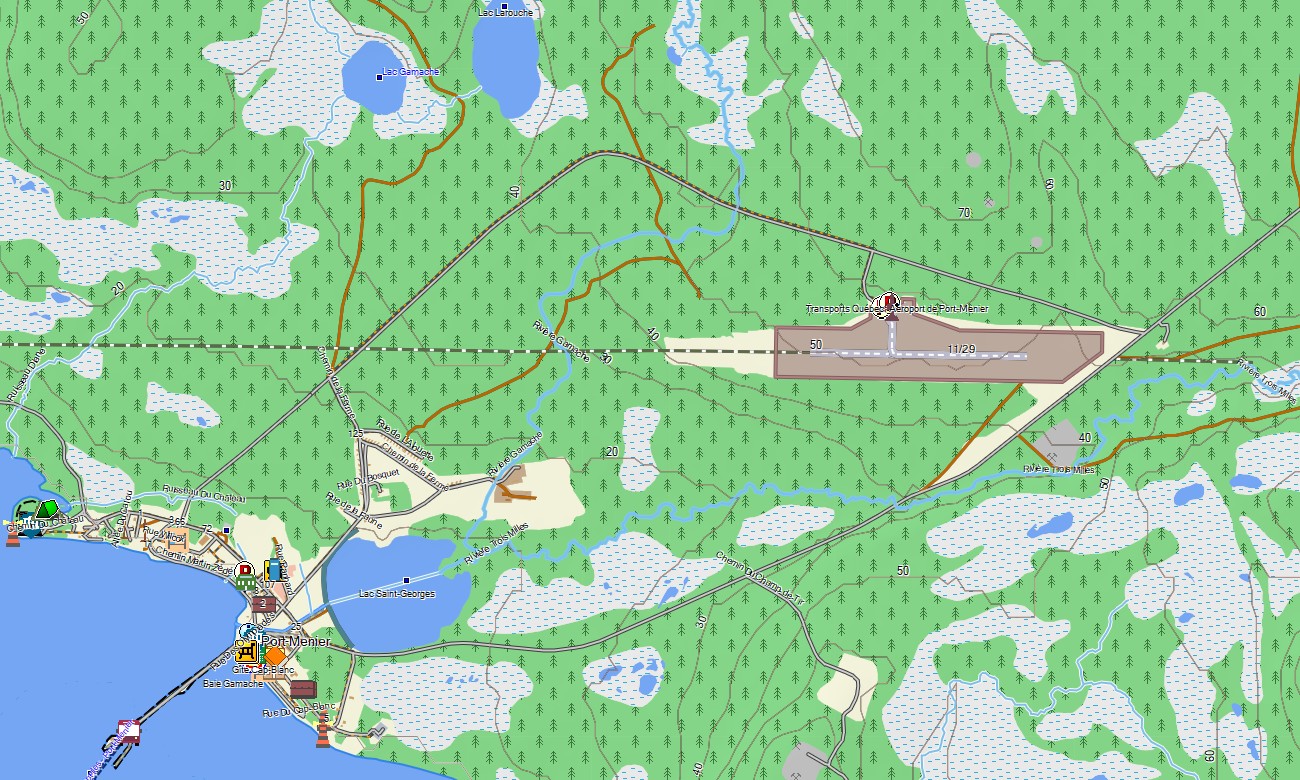
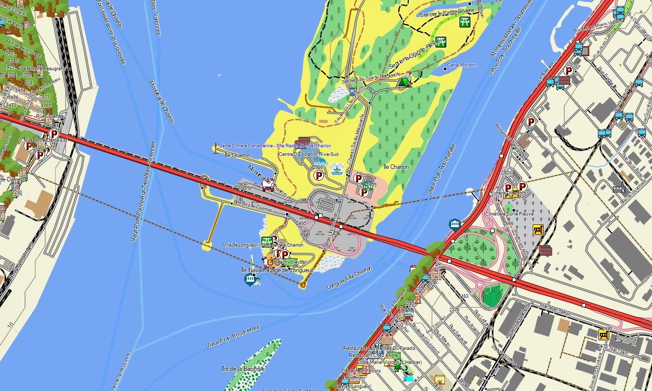
Quebec Garmin topographic map
$25
Quebec topo map for Garmin
Quebec is a vast province where navigation needs range from dense urban streets in Montréal and Québec City to remote northern roads, Laurentian trails, river valleys, ski areas, and wilderness lakes. Detailed Garmin maps help travelers explore French-speaking Canada with confidence. A high-quality Garmin GPS map provides offline guidance across city districts, rural regions, national parks, and long-distance routes toward the Côte-Nord and Gaspésie.
This Garmin map is designed for road travel, hiking, cycling, snowmobile access planning, camping, fishing, and scenic touring. As an OSM map tourist Garmin solution, it supports journeys through Charlevoix, the Eastern Townships, Saguenay–Lac-Saint-Jean, Mont-Tremblant, Gaspé Peninsula, and the St. Lawrence corridor. These outdoor maps Garmin users trust are valuable where mountain valleys, forests, and northern areas reduce mobile reliability.
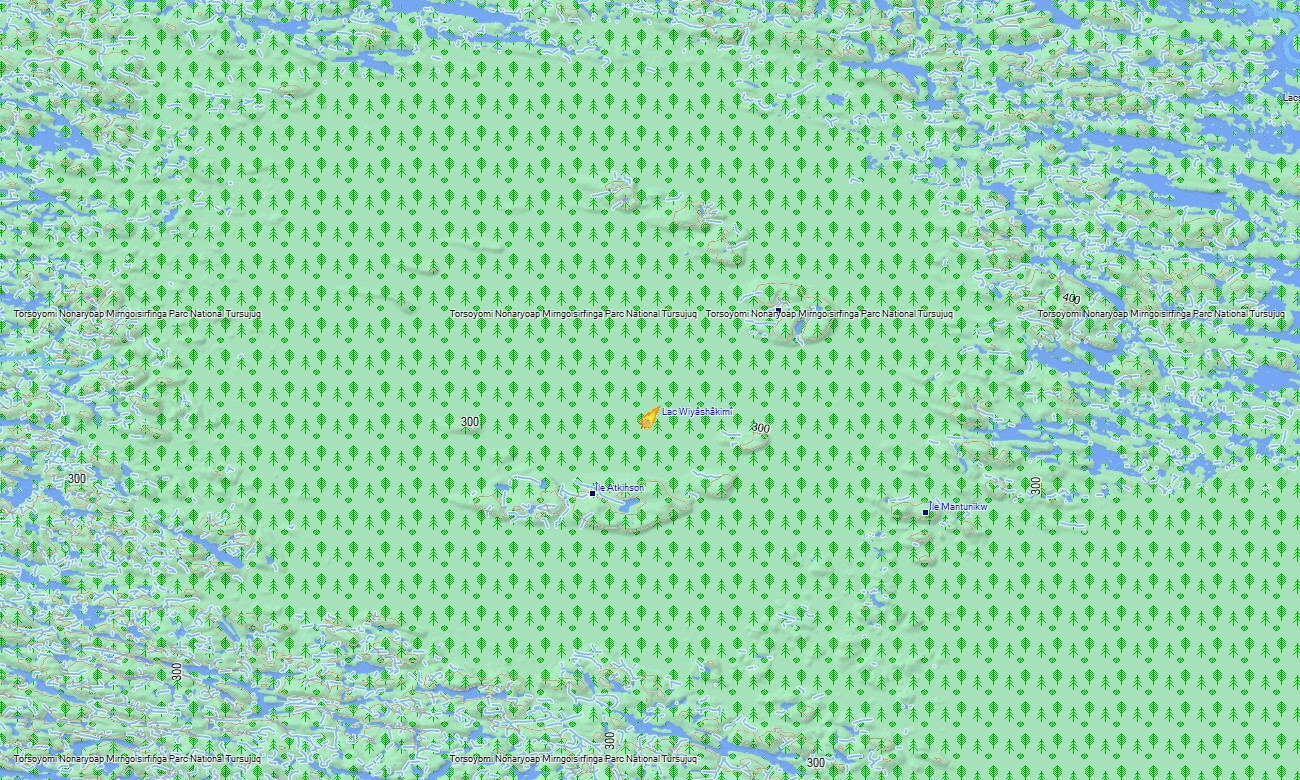
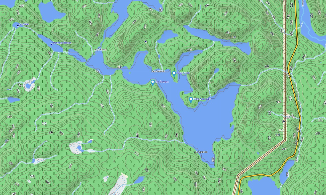
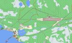
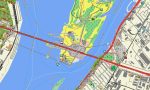
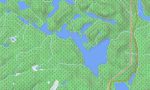
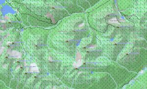
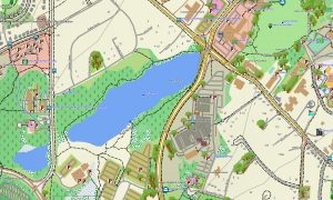
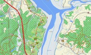
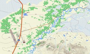
Quebec’s terrain varies from lowland river plains to Appalachian ridges, boreal forest, coastal cliffs, reservoirs, and the Canadian Shield. This Garmin GPS map operates as an OSM topo map with highways, local streets, forest roads, trails, rivers, lakes, islands, ferry routes, and elevation contours. These OSM topographic maps help users evaluate terrain, route distance, water crossings, and mountain approaches.
Maps for Garmin navigator devices are useful for city driving, intercity touring, RV travel, and reaching remote trailheads or lakeside cabins. A map for Garmin watch supports runners, hikers, and cyclists using urban paths, park trails, ski approaches, and backcountry routes.
Built from open street maps Garmin compatible data and included in our Garmin OSM maps collection, the product combines road networks, outdoor paths, POIs, hydrology, and terrain layers. Users can download Garmin map files after purchase for installation on compatible units. These topographic maps for Garmin are made for dependable offline navigation across Quebec.
Key Features:
- Topographic maps for Garmin covering Quebec with highways, city streets, rural roads, forest tracks, trails, rivers, lakes, reservoirs, islands, ferries, and elevation contours
- Natural features include the St. Lawrence River, Laurentians, Gaspé Peninsula, Charlevoix, Saguenay Fjord, Canadian Shield, boreal forests, Appalachian landscapes, and northern lakes
- Road coverage includes autoroutes, regional highways, urban streets, park roads, gravel routes, ferry approaches, and access roads to recreation areas
- Points of interest include ski resorts, campgrounds, viewpoints, historic districts, marinas, ferry terminals, trailheads, dams, visitor centers, and protected areas
- Routing support is available for compatible Garmin devices used in touring, outdoor travel, and long-distance navigation
Only logged in customers who have purchased this product may leave a review.
Reviews
There are no reviews yet.