
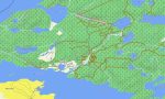
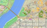
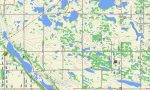
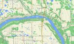
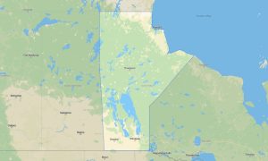
Saskatchewan Garmin topographic map
$25
Saskatchewan topo map for Garmin
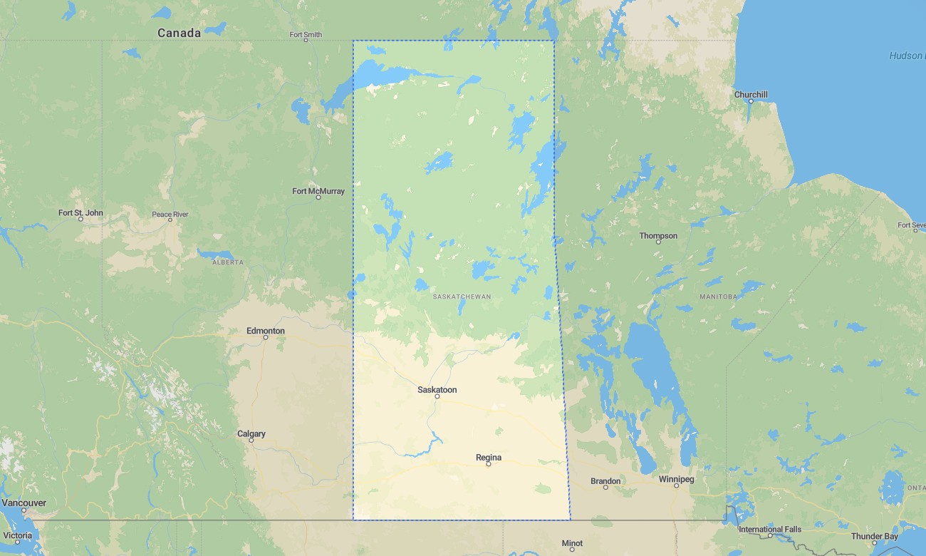
Saskatchewan is known for wide horizons, prairie highways, river valleys, badlands, northern forests, and thousands of lakes that attract anglers, campers, cyclists, and long-distance drivers. Detailed Garmin maps help visitors navigate Regina, Saskatoon, Prince Albert, Cypress Hills, Grasslands National Park, and northern recreation areas. A dependable Garmin GPS map provides offline support across open rural landscapes and remote forest roads.
This Garmin map is designed for cross-province driving, camping, fishing, cycling, hiking, farm-region travel, and outdoor exploration. As an OSM map tourist Garmin product, it includes useful detail for prairie towns, provincial parks, lake access roads, river crossings, and wilderness routes. These outdoor maps Garmin travelers trust are especially valuable in low-coverage areas where online navigation may fail.
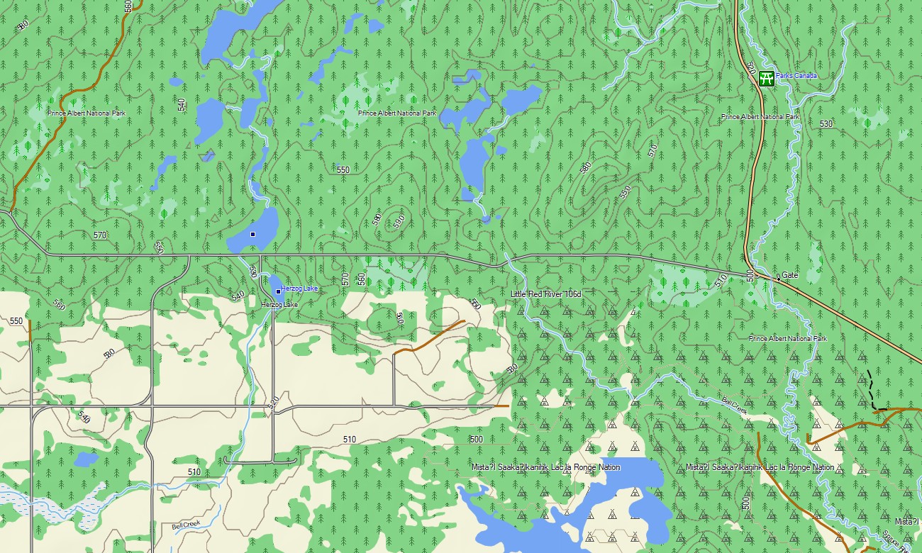
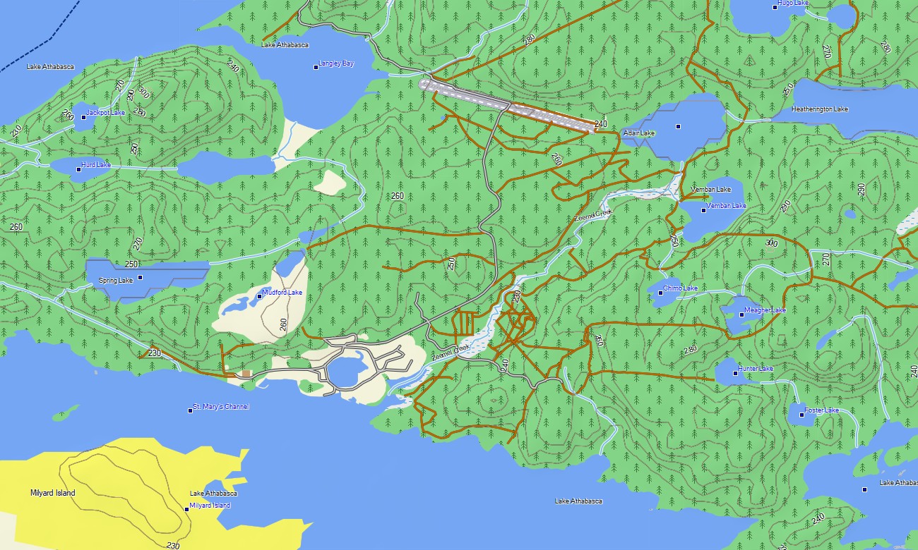
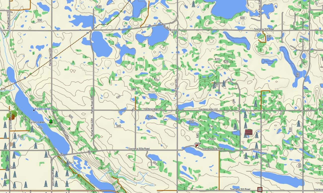
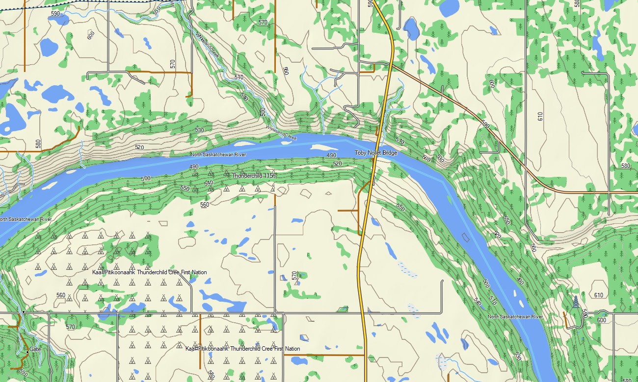
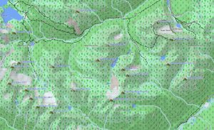
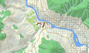
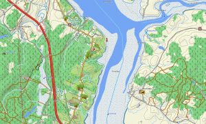
The province’s landscape changes from flat agricultural regions to coulees, sand hills, boreal forest, shield lakes, and the wooded uplands of Cypress Hills. This Garmin GPS map functions as an OSM topo map with highways, grid roads, trails, rivers, lakes, reservoirs, wetlands, parks, and elevation contours. The OSM topographic maps help users understand valleys, escarpments, shoreline access, and terrain transitions.
Maps for Garmin navigator devices are practical for long road journeys, RV routes, gravel-road navigation, and travel between small communities. A map for Garmin watch supports runners, hikers, and cyclists using city paths, park trails, and rural routes.
Based on open street maps Garmin compatible data and maintained within our Garmin OSM maps catalog, this product includes roads, trails, POIs, hydrography, and terrain layers. After purchase, customers can download Garmin map files for fast installation on supported units. These topographic maps for Garmin provide reliable offline navigation across Saskatchewan’s prairies, parks, lakes, and northern forests.
Key Features:
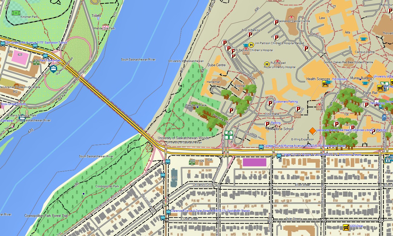
- Topographic maps for Garmin covering Saskatchewan with highways, grid roads, rural routes, trails, rivers, lakes, wetlands, reservoirs, parks, forests, and elevation contours
- Natural features include the South Saskatchewan River, North Saskatchewan River, Cypress Hills, Grasslands badlands, prairie plains, boreal forest, shield lakes, dunes, and river valleys
- Road coverage includes Trans-Canada routes, provincial highways, gravel roads, city streets, park access roads, and remote recreation routes
- Points of interest include campgrounds, boat launches, viewpoints, historic sites, trailheads, fishing areas, dams, visitor centers, and protected landscapes
- Routing support helps compatible Garmin devices provide offline guidance for touring, camping, cycling, and rural travel
Only logged in customers who have purchased this product may leave a review.
Reviews
There are no reviews yet.