


Serbia Garmin topographic map
$29
Serbia topo map for Garmin
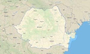
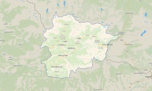
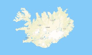
Travel across Serbia’s river valleys, mountains, historic cities, monasteries, rural roads, and national parks with detailed Garmin maps prepared for offline navigation. This Garmin GPS map covers Belgrade, Novi Sad, Niš, Kragujevac, Subotica, the Danube corridor, Tara, Kopaonik, Zlatibor, and border regions.
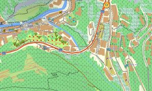
Developed as an OSM map tourist Garmin resource, the map supports road trips, hiking, cycling, cultural sightseeing, overland travel, and countryside exploration. These outdoor maps Garmin users depend on include roads, tracks, trails, rivers, forests, villages, viewpoints, and local attractions.
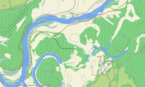
This Garmin GPS map works as a practical OSM topo map with elevation contours, hills, mountains, gorges, riverbanks, reservoirs, rural paths, and settlement layers. The Garmin map is useful for exploring the Dinaric Alps, Balkan foothills, Đerdap Gorge, Fruška Gora, and southern highlands.
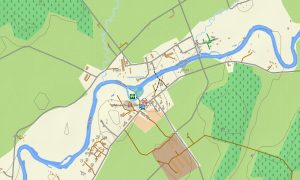
Based on open street maps Garmin compatible information, the product offers strong coverage for urban navigation, rural roads, and outdoor destinations. After purchase, users can download Garmin map files instantly, while updated Garmin OSM maps help keep roads, trails, and points of interest reliable.
Maps for Garmin navigator devices support city driving, long-distance travel, mountain roads, and routes to monasteries, spa towns, and natural attractions. A map for Garmin watch supports hikers, runners, cyclists, and active travelers following trails or urban routes.
Key Features:
- Topographic maps for Garmin covering Serbia include roads, tracks, hiking trails, rivers, lakes, forests, villages, towns, mountains, and elevation contours
- Natural features include the Danube River, Tara mountains, Đerdap Gorge, Kopaonik, Zlatibor, Fruška Gora, river valleys, forests, plains, and limestone areas
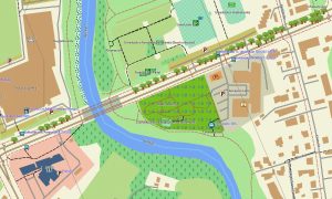
- Road coverage includes motorways, national roads, regional roads, city streets, rural lanes, mountain roads, bridges, tunnels, and border crossings
- Points of interest include monasteries, fortresses, old towns, museums, spas, viewpoints, ski areas, campsites, monuments, and national parks
- Routing support helps compatible maps for Garmin navigator devices guide travelers through cities, rural regions, highways, and mountain access routes
- Full compatibility is available for handheld Garmin GPS units, automotive navigators, outdoor devices, and supported models using a map for Garmin watch with OSM topographic maps
Only logged in customers who have purchased this product may leave a review.


Reviews
There are no reviews yet.