


Liechtenstein Garmin topographic map
$22
Liechtenstein topo map for Garmin
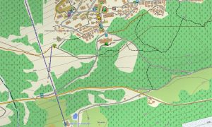
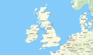
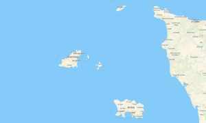
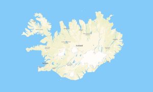
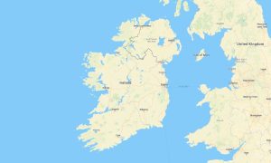
Explore Liechtenstein’s compact alpine territory with precise Garmin maps created for mountain roads, village streets, hiking paths, cycling routes, and cross-border travel. This Garmin GPS map covers Vaduz, Schaan, Balzers, Triesenberg, Malbun, Rhine Valley routes, and steep mountain landscapes between Switzerland and Austria.
Built as a detailed OSM map tourist Garmin solution, the map supports hiking, road travel, cycling climbs, cultural sightseeing, and outdoor navigation in a small but topographically complex country. These outdoor maps Garmin travelers depend on include streets, trails, tracks, rivers, forest paths, viewpoints, and tourist infrastructure.
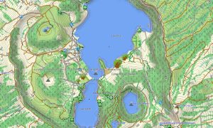
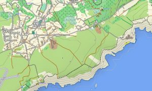
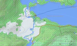
This Garmin GPS map works as an OSM topo map, showing elevation contours, mountain ridges, valleys, slopes, villages, watercourses, alpine paths, and access roads. The Garmin map is especially useful for understanding steep terrain around Malbun, Triesenberg, and the surrounding Alps.
Created from open street maps Garmin compatible data, the product offers high local detail for a compact navigation area. After purchase, users can download Garmin map files quickly and install them on compatible devices. Updated Garmin OSM maps help keep paths, roads, and points of interest current.
Maps for Garmin navigator devices are practical for driving through the Rhine Valley, reaching alpine trailheads, and planning routes into neighboring countries. A map for Garmin watch supports hikers, runners, and cyclists on mountain trails, village routes, and fitness activities.
Key Features:
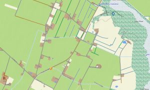
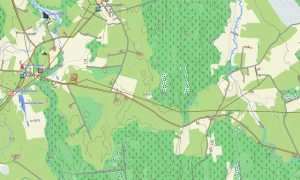
- Topographic maps for Garmin covering Liechtenstein include roads, tracks, hiking trails, rivers, forests, villages, alpine terrain, border routes, and elevation contours
- Natural features include the Rhine Valley, Alps, mountain ridges, forested slopes, alpine meadows, streams, valleys, and high panoramic viewpoints
- Road coverage includes main roads, village streets, mountain access roads, local lanes, cycling routes, border connections, tunnels, and rural tracks
- Points of interest include castles, museums, churches, ski areas, trailheads, viewpoints, historic villages, cultural sites, mountain huts, and tourist services
- Routing support helps compatible maps for Garmin navigator devices navigate compact road networks, alpine access routes, and cross-border journeys
- Full compatibility is available for handheld Garmin GPS units, automotive Garmin devices, outdoor units, and supported devices using a map for Garmin watch with OSM topographic maps
Only logged in customers who have purchased this product may leave a review.


Reviews
There are no reviews yet.