

Austria Garmin topographic map
$29
Austria topo map for Garmin
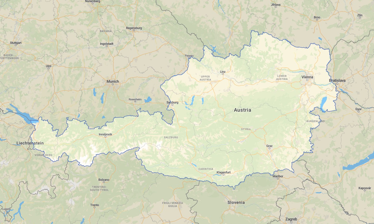
Discover Austria’s alpine landscapes, historic cities, river valleys, and scenic roads with detailed Garmin maps built for reliable offline navigation. This Garmin GPS map covers Vienna, Salzburg, Innsbruck, Graz, Tyrol, the Danube region, lake districts, mountain passes, and rural villages, making it useful for tourism, hiking, cycling, and road travel.
Developed as a versatile OSM map tourist Garmin solution, the map supports city exploration, alpine trekking, motorcycle touring, campervan routes, and long-distance cycling. These outdoor maps Garmin users trust include practical information for trails, highways, local roads, rivers, forests, viewpoints, and protected areas.
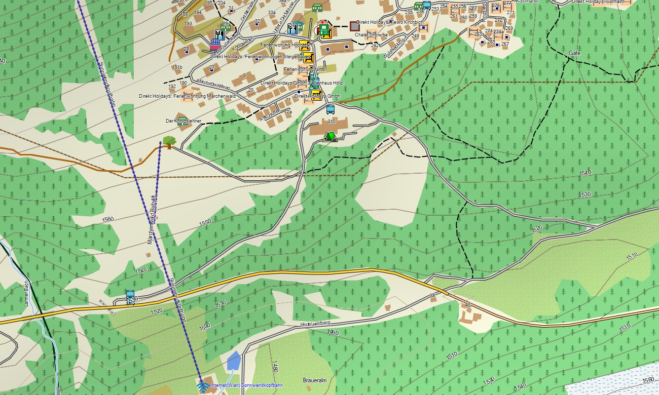
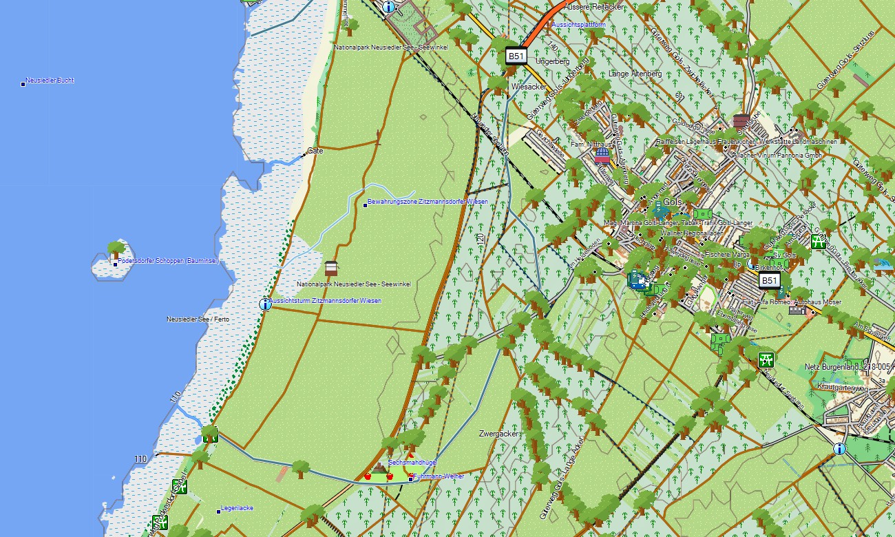
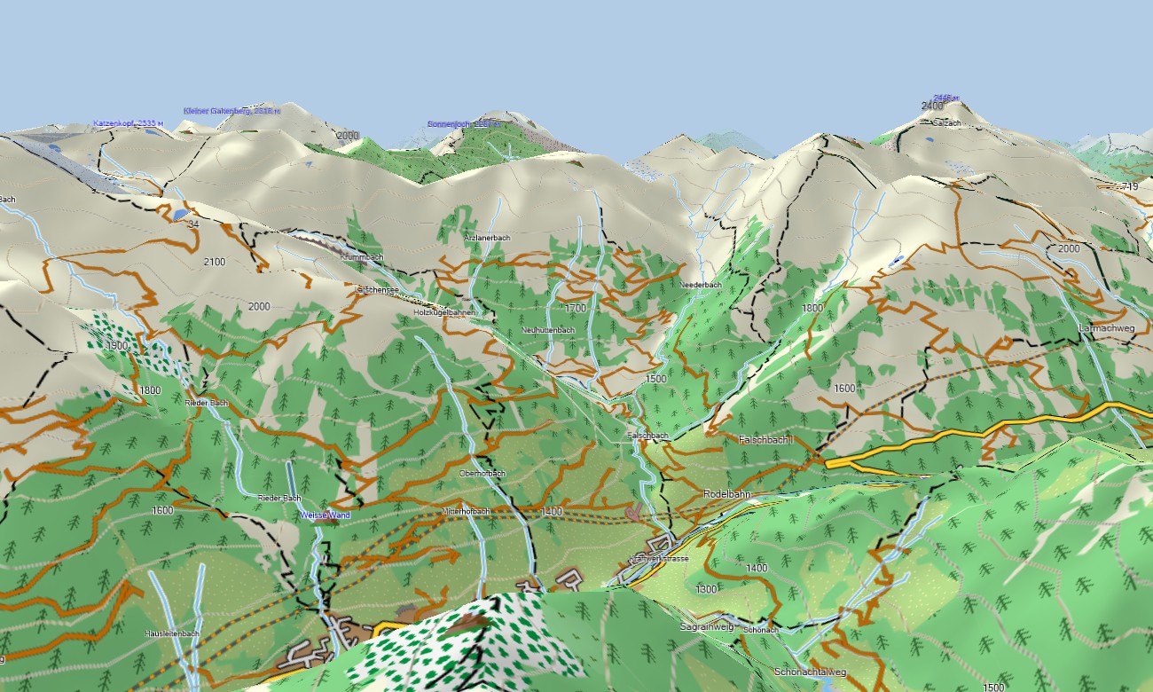
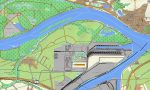
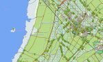
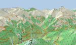
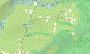
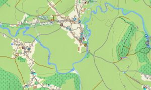
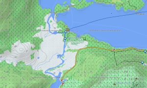
This Garmin GPS map functions as a detailed OSM topo map with elevation contours, peaks, valleys, ski areas, hiking paths, water features, and settlement layers. The Garmin map is especially useful in the Alps, where accurate terrain data helps travelers understand altitude changes, steep sections, and route difficulty.
Using open street maps Garmin compatible data, the product delivers rich local detail and strong coverage across both urban and remote areas. After ordering, users can download Garmin map files immediately and install them on compatible devices. Regular Garmin OSM maps updates improve accuracy for roads, trails, and points of interest.
Maps for Garmin navigator devices are suitable for driving through alpine passes, planning road trips, and navigating between cities and natural attractions. A map for Garmin watch is practical for hikers, runners, cyclists, and outdoor athletes following routes in mountain regions.
Key Features:
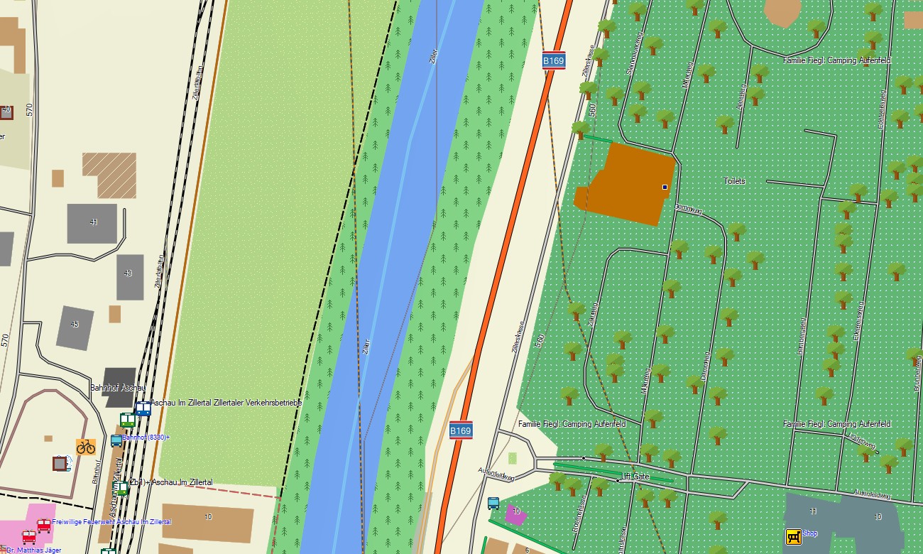
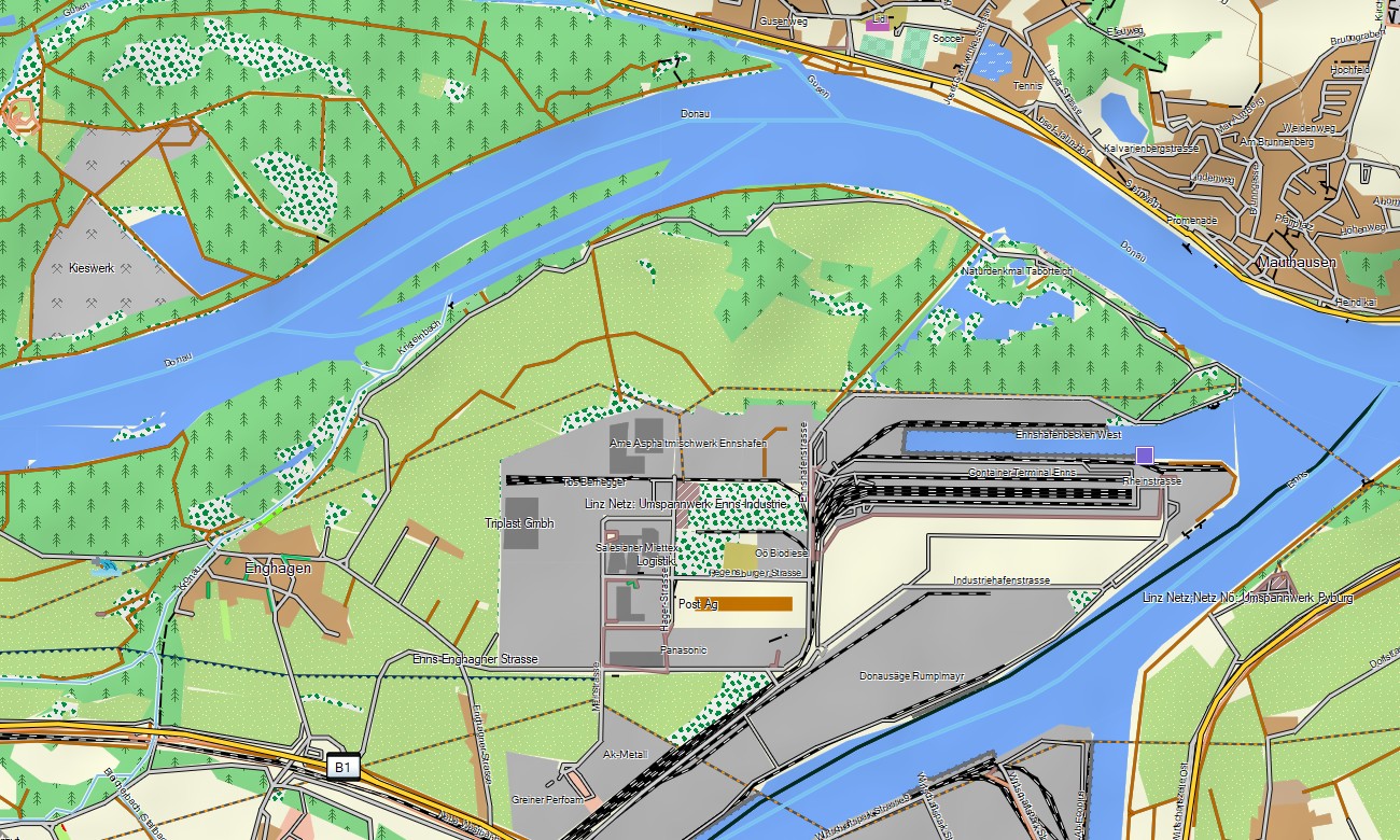
- Topographic maps for Garmin covering Austria include roads, tracks, hiking paths, rivers, lakes, forests, alpine terrain, settlements, and elevation contours.
- Natural features include the Eastern Alps, Danube valley, Salzkammergut lakes, glaciers, mountain meadows, forests, limestone ranges, and scenic river corridors
- Road coverage includes motorways, federal roads, local streets, mountain passes, rural roads, tunnels, cycling routes, and tourist access roads
- Points of interest include historic centers, castles, monasteries, ski resorts, mountain huts, cable cars, viewpoints, campsites, lakeside resorts, and cultural landmarks
- Routing support allows compatible maps for Garmin navigator devices to guide drivers, cyclists, and travelers across cities, valleys, and alpine roads
- Full compatibility supports handheld GPS units, automotive Garmin devices, outdoor navigators, and selected models using a map for Garmin watch with OSM topographic maps
Only logged in customers who have purchased this product may leave a review.






Reviews
There are no reviews yet.