

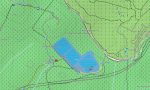
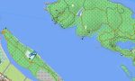

Singapore Garmin topographic map
$22
Singapore topo map for Garmin
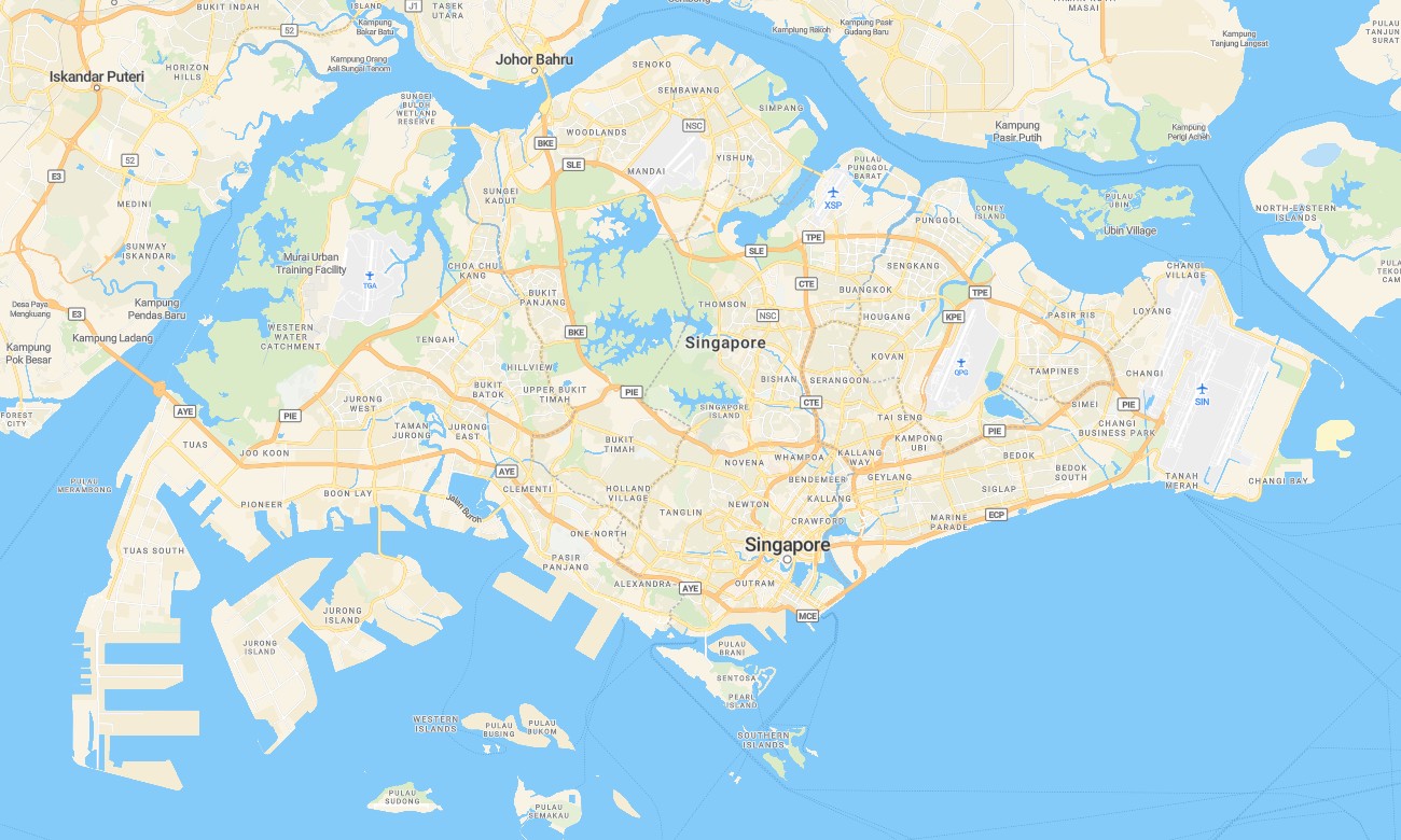
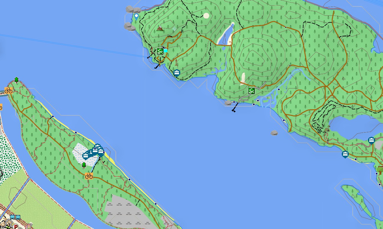
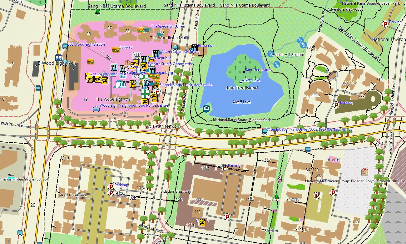
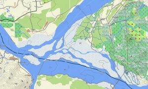
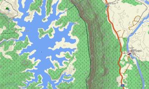
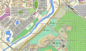
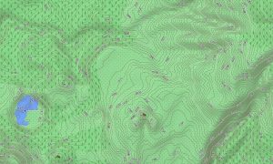
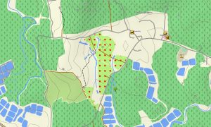
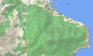
Navigate Singapore’s dense urban landscape, parks, and coastal zones with a high-detail topographic Garmin map optimized for a compact but complex city-state. This Garmin GPS map extends basic Garmin maps with OSM topographic maps that add contours, park trails, and shoreline detail across the island.
Designed as an OSM map tourist Garmin product, it supports commuting, professional routing, sightseeing, cycling, and running. These outdoor maps Garmin users rely on work fully offline, so your Garmin map remains available in high-rise areas, tunnels, and park connectors even when mobile coverage fluctuates.
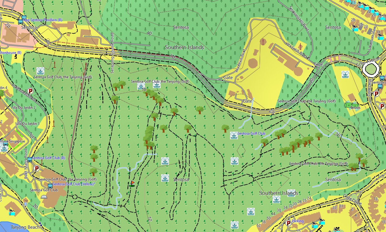
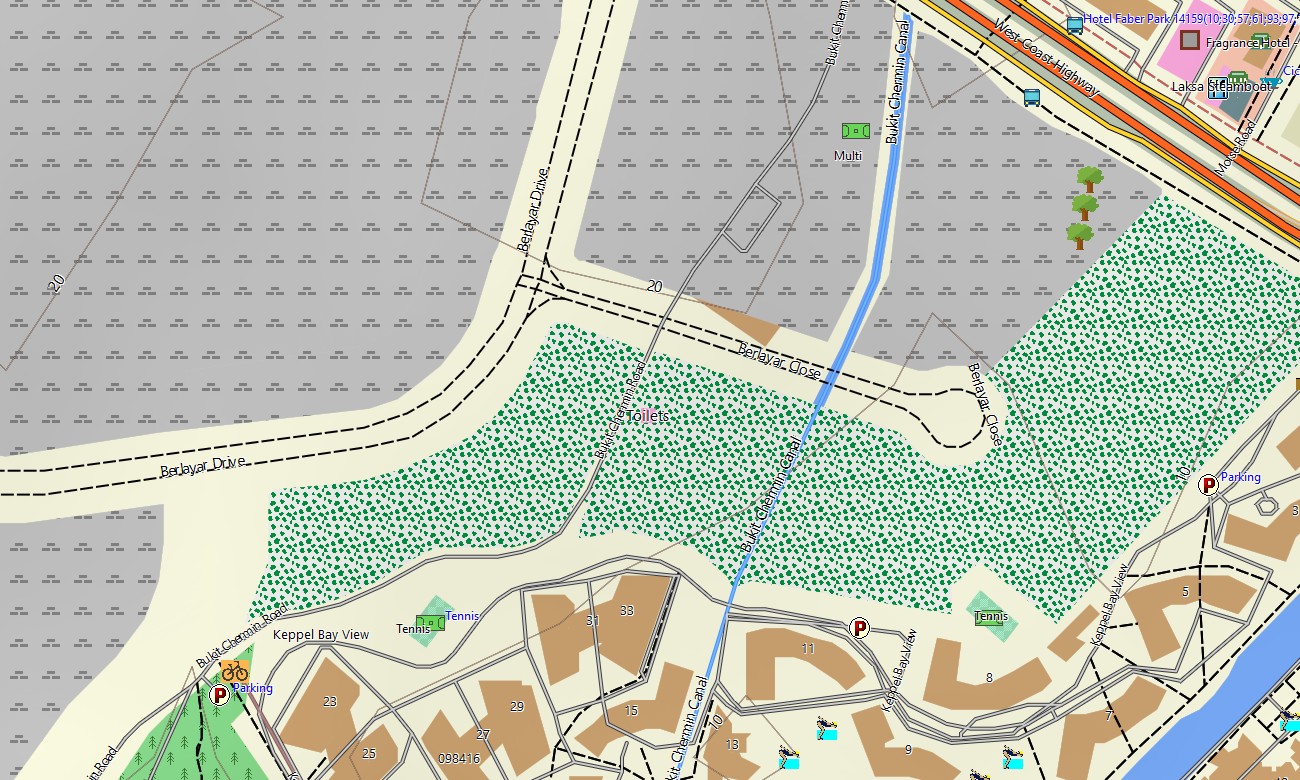
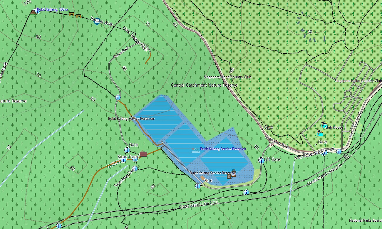
Operating as an OSM topo map, it overlays subtle elevation contours, park paths, stairways, reservoirs, canals, expressways, and dense street grids. Open street maps Garmin layers provide very fine-grained detail on roads, footpaths, building-access routes, and transport infrastructure, while OSM topographic maps emphasize slopes useful for fitness training and safety. Routing-capable maps for Garmin navigator devices calculate optimal routes for driving, cycling, or walking around the island. A single Garmin GPS map can handle everyday commuting, delivery operations, and visitor itineraries with offline turn-by-turn instructions.
Garmin OSM maps can also be used as a map for Garmin watch on compatible running, cycling, and outdoor models. Athletes and walkers can follow OSM topo map routes on the wrist across park connectors, nature trails, and urban circuits. Layered cartography fuses transport networks, relief, hydrology, and green spaces into one Garmin map, making topographic maps for Garmin a powerful tool for route planning, training, and general orientation in Singapore. Distributed as downloadable Garmin maps, the product is accessed via a download Garmin map link and updated frequently to match the city’s rapidly evolving infrastructure.
Key Features:
- Topographic maps for Garmin covering Singapore with expressways, arterial roads, local streets, park connectors, trails, cycle paths, canals, reservoirs, and elevation contours
- Natural and urban green features such as parks, nature reserves, coastal boardwalks, reservoirs, and hills are shown on the OSM topographic maps
- OSM topo map data supports gradient-aware planning for running, cycling, and walking routes.
- Open street maps Garmin layers provide extremely dense detail, including service roads, pedestrian links, and public-transport access points
- Routing on maps for Garmin navigator units supports car navigation, delivery routing, and pedestrian or cycling trips with offline guidance
- Outdoor maps Garmin users can download Garmin map tiles for the full island or selected activity zones depending on device storage
- Garmin OSM maps are compatible with handheld GPS units and can function as a map for Garmin watch on supported wearables
- The Garmin map, based on an OSM map tourist Garmin foundation, turns the Garmin GPS map into a rich navigation and training tool for residents and visitors in Singapore
Only logged in customers who have purchased this product may leave a review.

Reviews
There are no reviews yet.