
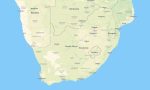
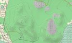
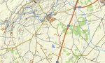
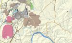
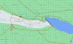
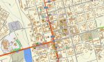
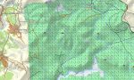
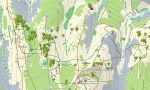
South Africa and Lesotho Garmin topographic map
$36
South Africa and Lesotho topo map for Garmin
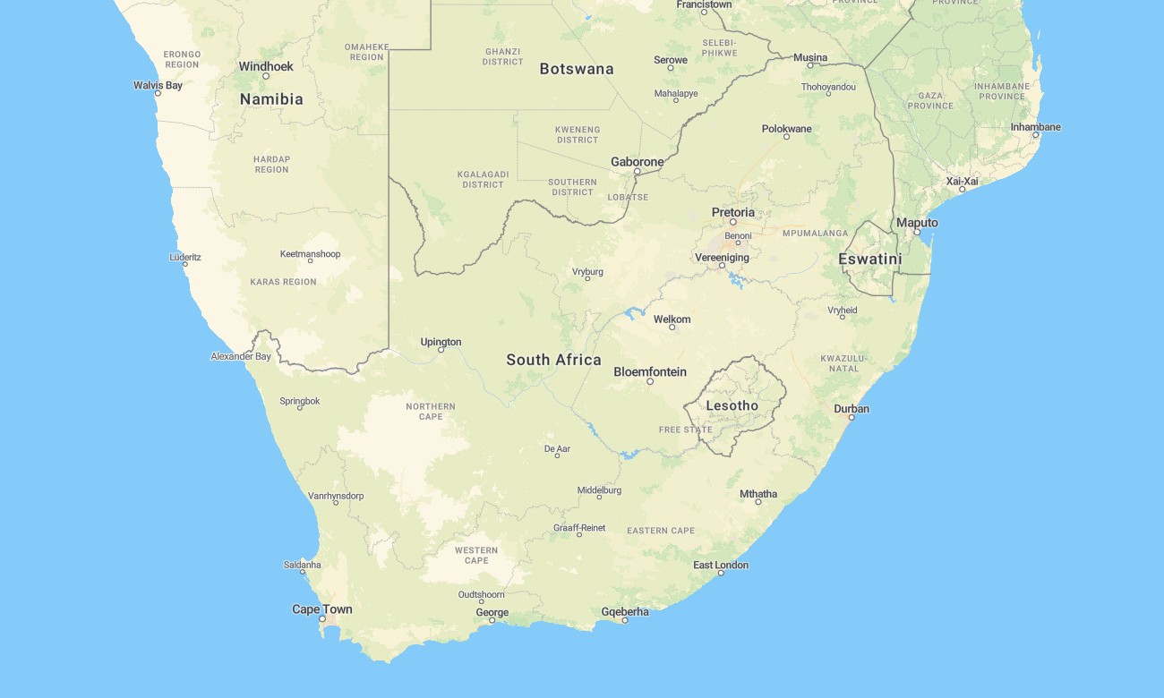
Discover the combined highlands and lowlands of South Africa and Lesotho with this detailed topographic Garmin map, created for seamless navigation across both nations. This comprehensive Garmin map covers all of South Africa and the enclosed kingdom of Lesotho, from the Cape coast through the Drakensberg escarpment and into the Maloti Mountains, providing reliable guidance for diverse regional travel.
Perfect for mountain adventures in the Drakensberg and extensive road trips across South Africa, this OSM map tourist Garmin solution uses OpenStreetMap data enhanced with detailed relief for major cities, the South African highway network, and Lesotho’s mountain passes. These outdoor maps Garmin users rely on operate fully offline. Instant download with regular updates included keeps your Garmin GPS map current for any cross-border expedition.
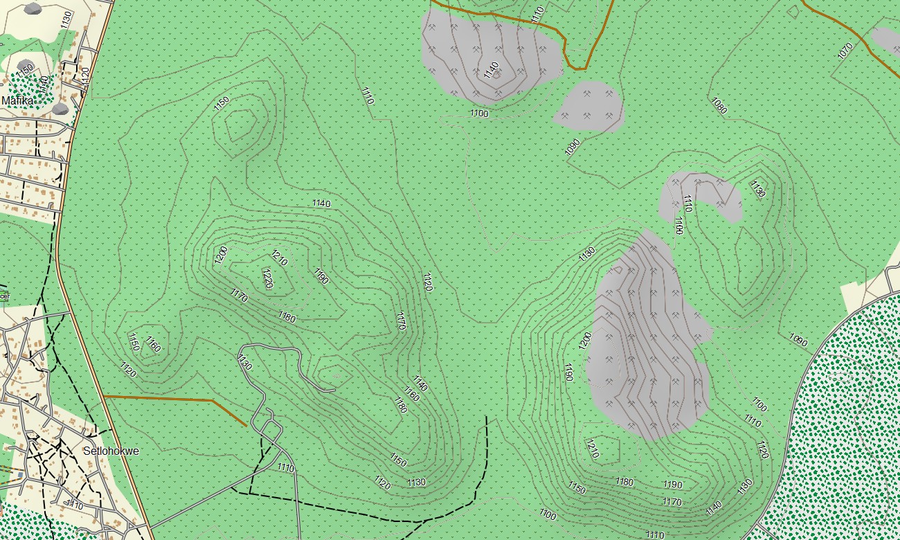
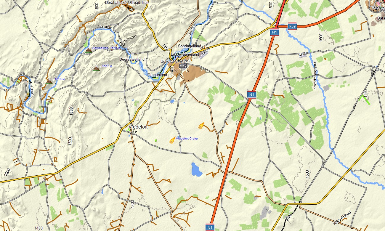
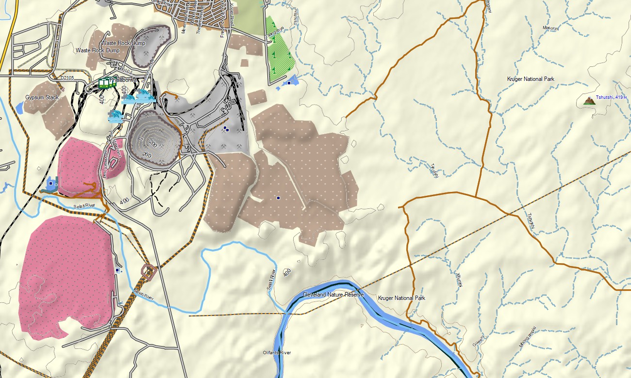
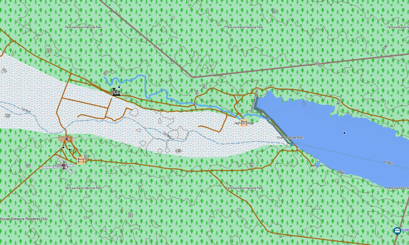
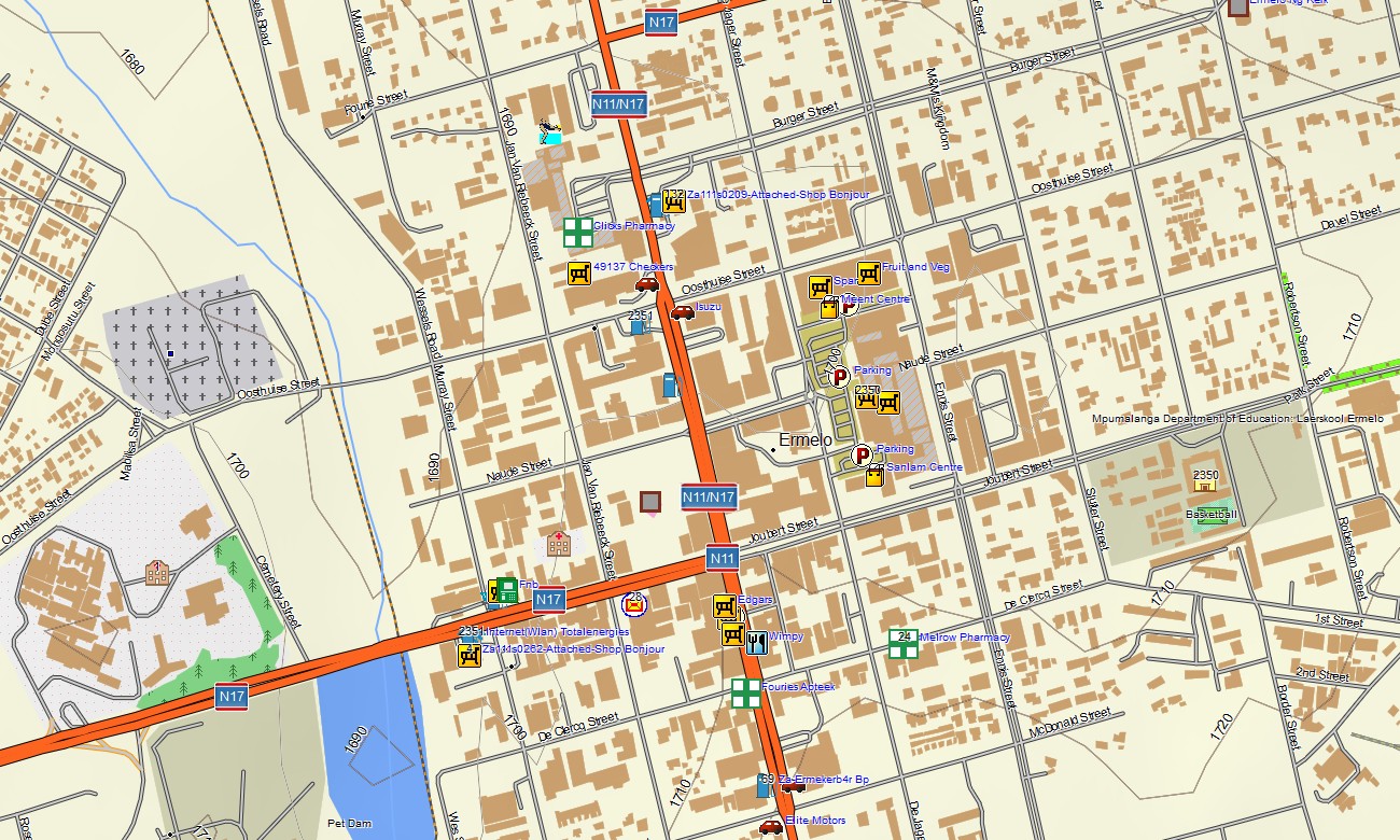
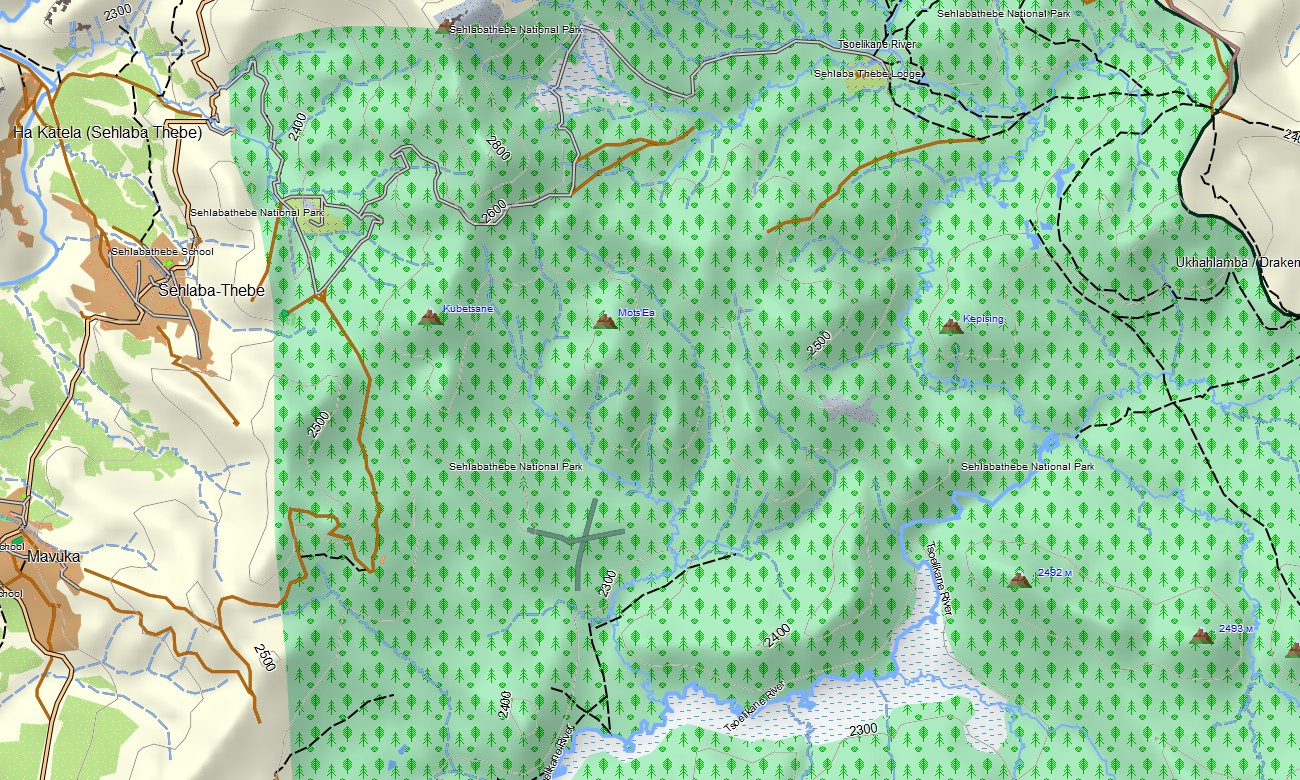
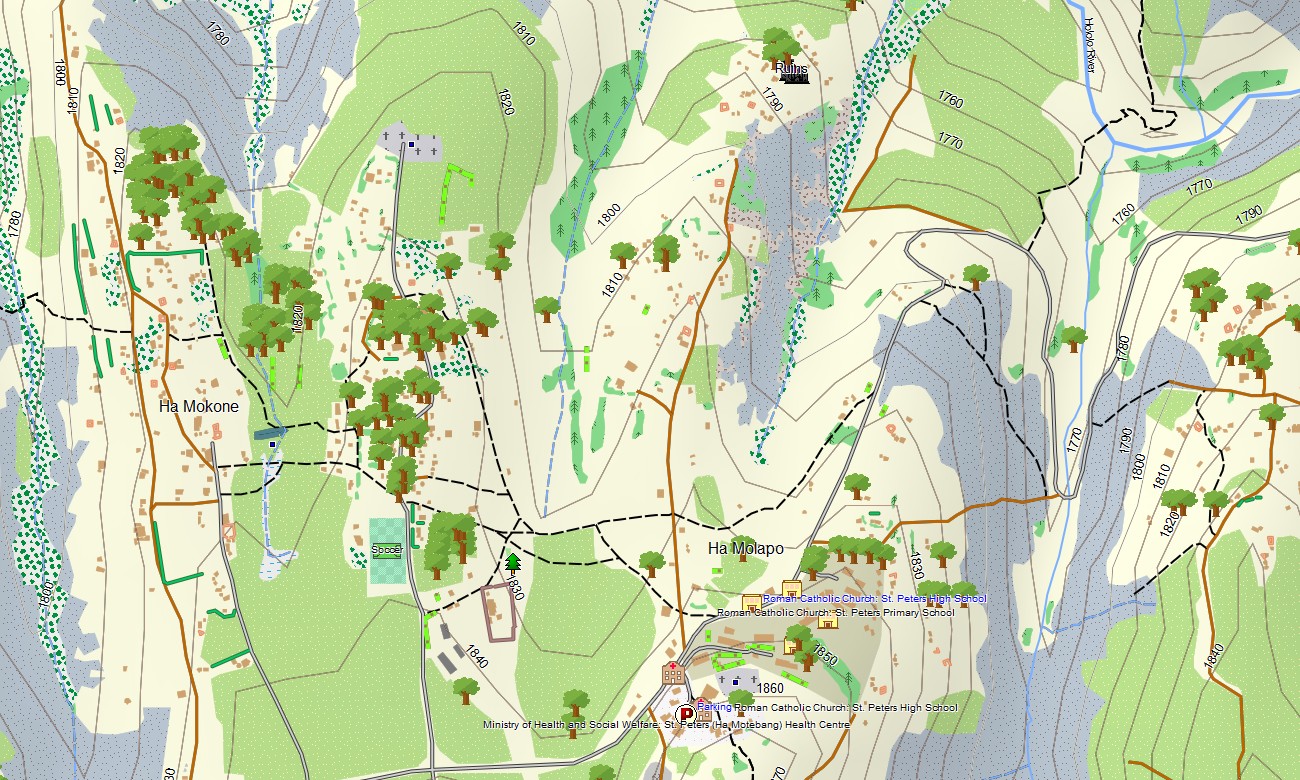
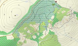
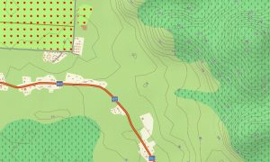
This product acts as a detailed OSM topo map, showing South Africa’s extensive road system, Lesotho’s mountain roads and tracks, hiking trails, major rivers, dams, and elevation contours. Natural features such as the Great Escarpment, the Drakensberg and Maloti ranges, the Karoo, coastal regions, and the high plateau of Lesotho are clearly shown. This makes these topographic maps for Garmin essential for exploring this region’s dramatic topographic contrasts.
Featuring integrated routing, these maps for Garmin navigator devices allow for planning and turn-by-turn guidance directly on your GPS unit. Whether driving across South Africa’s vast landscapes, navigating the Sani Pass into Lesotho, or traveling the mountainous routes within the kingdom, this Garmin map provides consistent, offline navigation.
The map contains several data layers: full integrated road coverage for both countries, detailed city and town maps, and comprehensive topographic information for mountains and lowlands. You receive an instant download link after purchase; setup is fast, and updates ensure your Garmin map for watch or handheld stays accurate.
Key Features:
- Topographic maps for Garmin covering South Africa and Lesotho with highways, regional roads, urban streets, mountain passes, tracks, trails, rivers, dams, and detailed elevation contours
- Natural features including the Drakensberg and Maloti mountain ranges, the Great Escarpment, the Karoo, the Lesotho high plateau, coastal regions, and major river systems
- Complete integrated road coverage of both countries’ networks, including South Africa’s N/R roads and Lesotho’s mountain routes
- Points of interest: urban infrastructure, airports, seaports, historical sites, museums, markets, cultural villages, churches, universities, government buildings, hospitals, clinics, hotels, lodges, restaurants, fuel stations, border posts, water towers, dams, viewpoints, mountain passes
- Routing support for driving and cross-border navigation on compatible Garmin devices
- Full compatibility with handheld GPS units, automotive navigators, and supported as a map for Garmin watch models
- The map contains contours of heights
Only logged in customers who have purchased this product may leave a review.
Reviews
There are no reviews yet.