
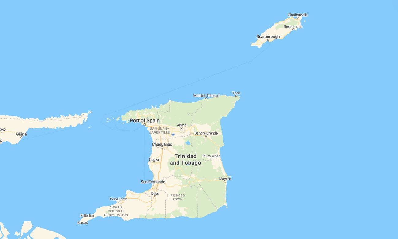
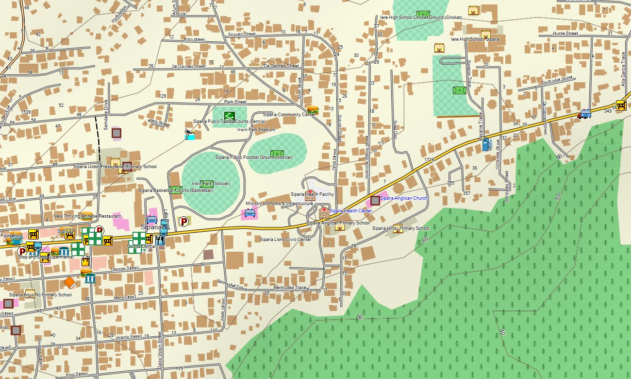
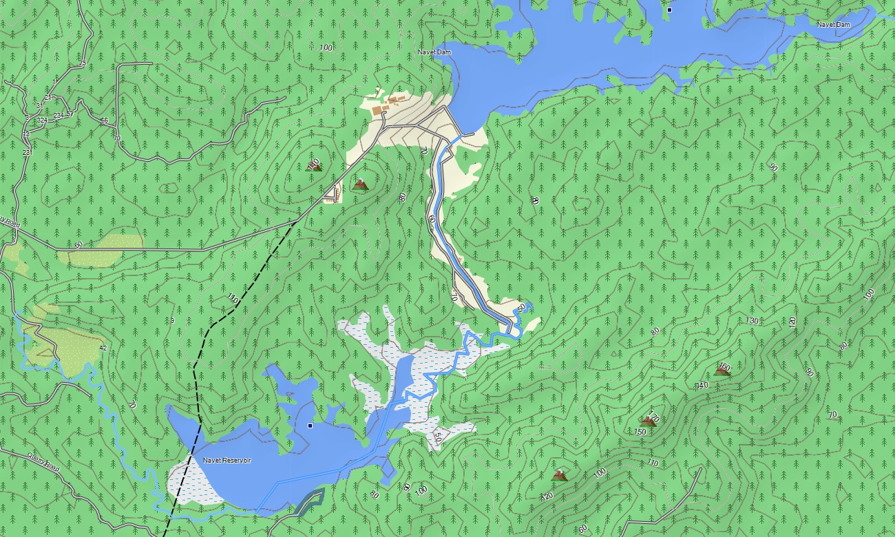
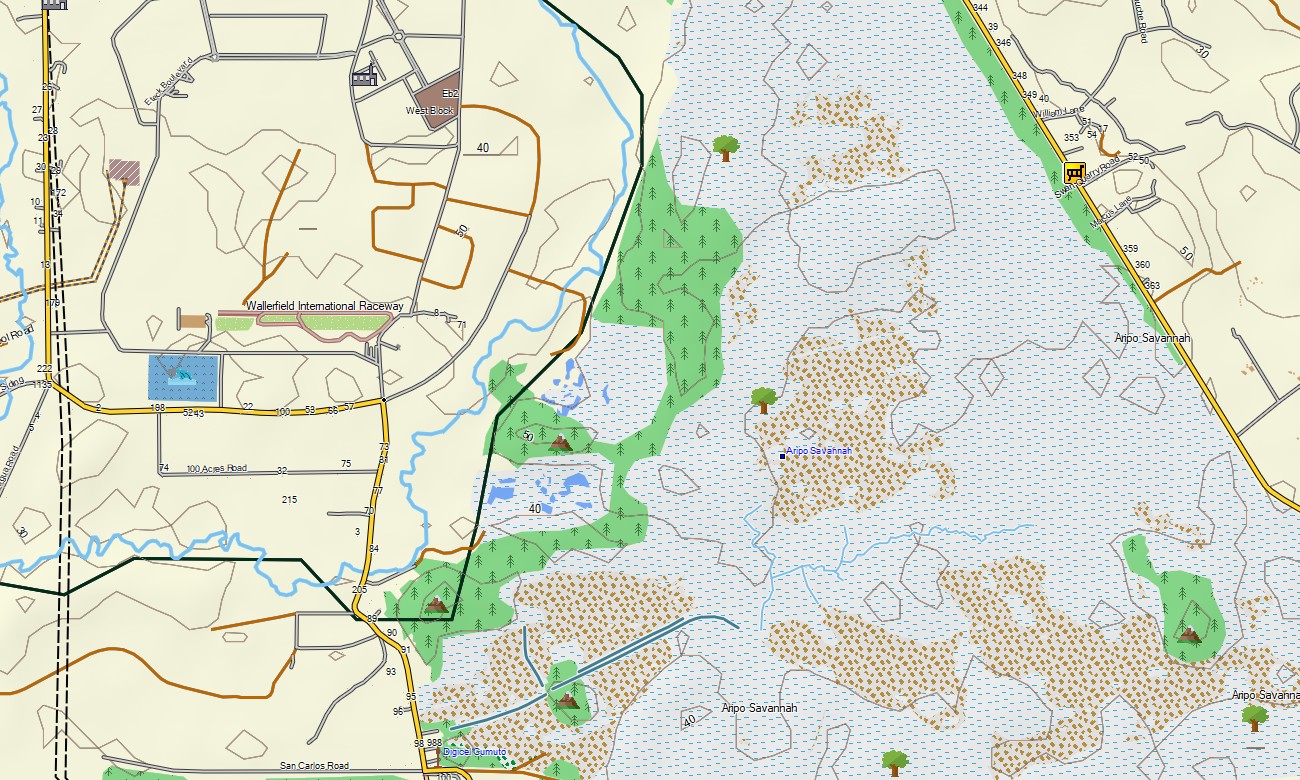
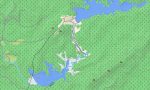
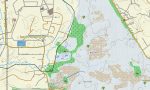
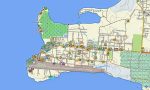
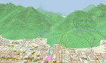
Trinidad and Tobago Garmin topographic map
$22
Trinidad and Tobago topo map for Garmin
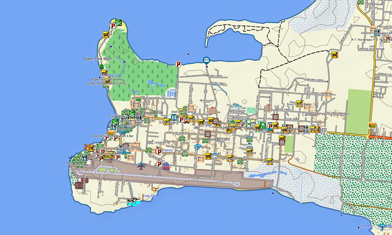
Explore the dual-island nation of Trinidad and Tobago with this detailed topographic Garmin map, engineered for navigating rainforest-covered mountains, swampy lowlands, and scenic coastal regions. This comprehensive Garmin GPS map provides full coverage from Trinidad’s Northern Range and Caroni Swamp to Tobago’s coral reefs and hills, ensuring precise guidance for diverse travel and nature discovery.
Perfect for birdwatching hikes and island-hopping road trips, these Garmin maps function as a complete OSM map tourist Garmin solution. Utilizing OpenStreetMap data, they support navigation in Port of Spain and Scarborough, along highways like the Churchill-Roosevelt, and on remote forest trails. These outdoor maps Garmin offer instant download with regular updates included and are optimized for handheld GPS devices, car navigators, and as a map for Garmin watch.
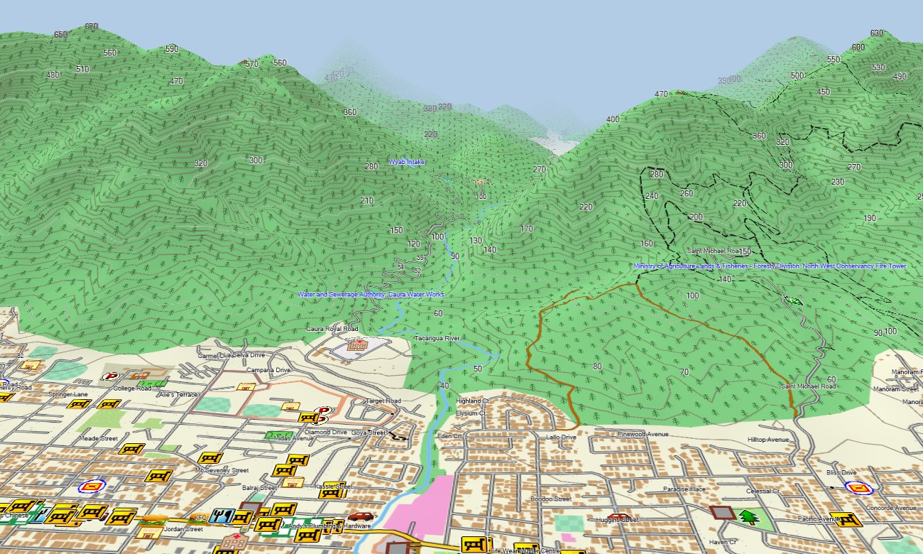
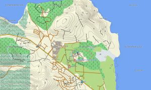
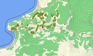
This detailed resource acts as an essential OSM topo map, charting roads, hiking paths, rivers, mangrove channels, and elevation contours. Natural features such as rainforests, swamps, offshore islands, waterfalls, and coral formations are clearly defined. The high level of detail in these topographic maps for Garmin makes them ideal for exploring the islands’ rich biodiversity and cultural sites.
With built-in routing, these maps for Garmin navigator devices allow for seamless planning and turn-by-turn guidance directly on your GPS. Whether crossing Trinidad’s central plains, touring Tobago’s coastal road, or accessing remote natural reserves, this Garmin map provides reliable offline navigation.
The map includes several layers: full road coverage for both islands, detailed street navigation for urban areas, and comprehensive topographic data for wilderness exploration. After purchase, you receive an instant download link, installation is quick, and regular updates keep your Garmin GPS map accurate.
Key Features:
- Topographic maps for Garmin covering Trinidad and Tobago with roads, trails, rivers, swamps, and elevation contours
- Natural features such as mountain ranges, rainforests, wetlands, mangrove ecosystems, beaches, and coral reefs
- Points of interest: urban infrastructure, archaeological sites, ruins, peaks, viewpoints, monuments, UNESCO sites, water towers, lighthouses, harbors, and notable landmarks
- Routing support for driving, hiking, and cycling trips
- Works fully offline — no internet connection required
- Full coverage of highways, main roads, and detailed urban streets on both islands
- Compatibility with handheld GPS units, vehicle devices, and supported as a map for Garmin watch models
Only logged in customers who have purchased this product may leave a review.
Reviews
There are no reviews yet.