

USA South Garmin topographic map
$39
USA South topo map for Garmin
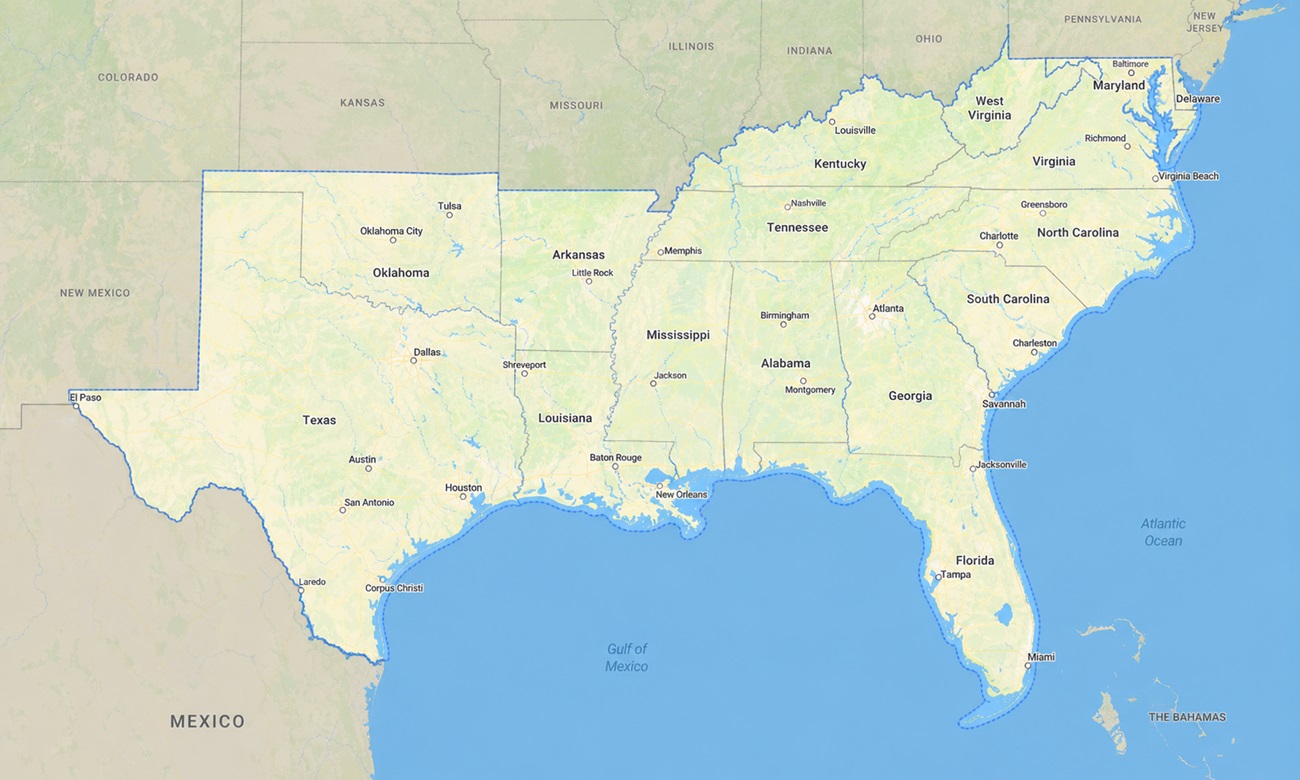
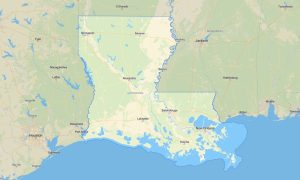
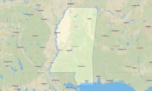
The map contains the following states of the USA: Delaware, Maryland, Virginia, West Virginia, North Carolina, South Carolina, Georgia, Florida, Kentucky, Tennessee, Alabama, Mississippi, Arkansas, Louisiana, Oklahoma, and Texas. Discover the immense variety of the American South with a detailed topographic Garmin map designed for coastal travel, mountain touring, swamp exploration, forest roads, and long interstate journeys.
Developed as a flexible OSM map tourist Garmin solution, it supports scenic drives on the Blue Ridge Parkway, hikes in the Great Smoky Mountains, beach trips along the Atlantic and Gulf coasts, and overland-style routes through rural Texas and Oklahoma. These dependable outdoor maps Garmin adventurers trust operate fully offline, making them valuable in bayous, national forests, mountain hollows, coastal marshes, and remote rural counties.
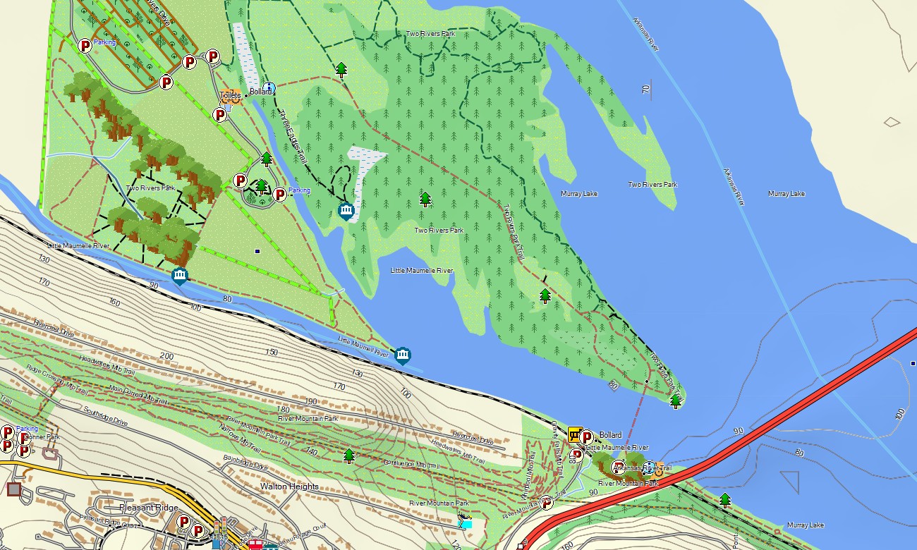
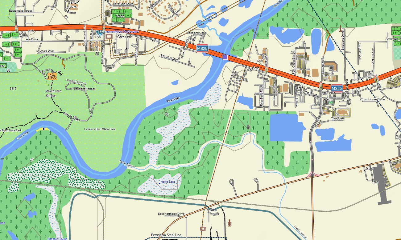
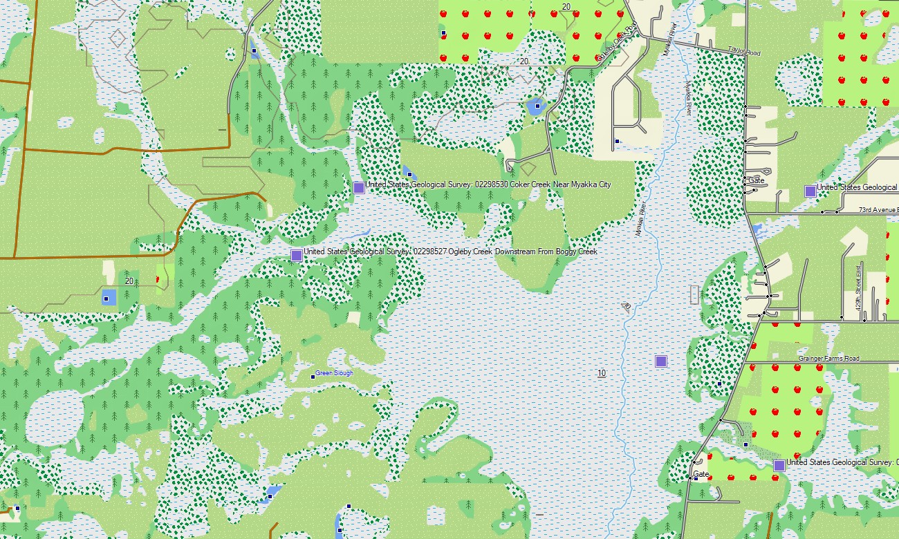
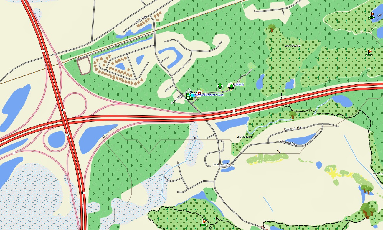
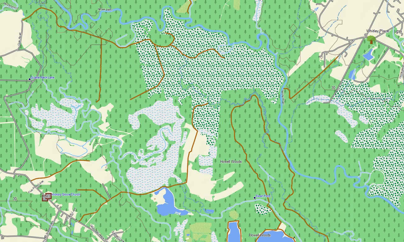
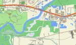
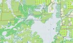
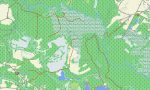
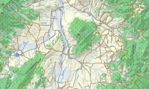
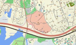
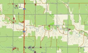
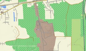
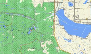
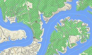
This Garmin GPS map works as a rich OSM topo map, integrating highways, state routes, city streets, rural roads, trails, rivers, lakes, reservoirs, wetlands, swamps, coastlines, islands, and elevation contours. The Blue Ridge, Cumberland Plateau, Outer Banks, Everglades, Louisiana bayous, Mississippi River, Ozark Plateau, Gulf barrier islands, and Texas Hill Country are clearly displayed. These OSM topographic maps provide terrain awareness across one of America’s most diverse travel regions.
With built-in routing, these maps for Garmin navigator devices help plan trips and provide turn-by-turn guidance on compatible units. Whether driving through Atlanta, Miami, Houston, Dallas, Nashville, New Orleans, Charlotte, or remote Appalachian roads, this Garmin map keeps navigation available even without mobile data.
Created from open street maps Garmin compatible data and included in our Garmin OSM maps series, the map combines detailed road networks, outdoor paths, POI layers, and terrain information. After purchase, you receive a direct link to download Garmin map files for quick installation on handheld GPS units, car navigators, and supported map for Garmin watch models.
Key Features:
- Topographic maps for Garmin covering the USA South with roads, trails, rivers, lakes, wetlands, swamps, coastline, islands, reservoirs, and elevation contours
- Natural features include the Appalachians, Blue Ridge, Great Smoky Mountains, Gulf Coast, Everglades, Mississippi Delta, Ozarks, bayous, barrier islands, plains, and Texas deserts
- Complete road coverage for interstates, state highways, scenic parkways, rural roads, coastal routes, urban streets, and park access roads
- Points of interest: beaches, campgrounds, historic landmarks, marinas, ferry terminals, viewpoints, monuments, dams, trailheads, ski areas, and national park locations
- Routing support for road trips, touring, and long-distance navigation on compatible Garmin devices
- Compatible with handheld GPS units, automotive navigators, and selected map for Garmin watch devices
Only logged in customers who have purchased this product may leave a review.

Reviews
There are no reviews yet.