
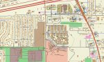
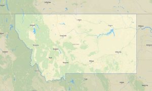
Wyoming Garmin topographic map
$25
Wyoming topo map for Garmin
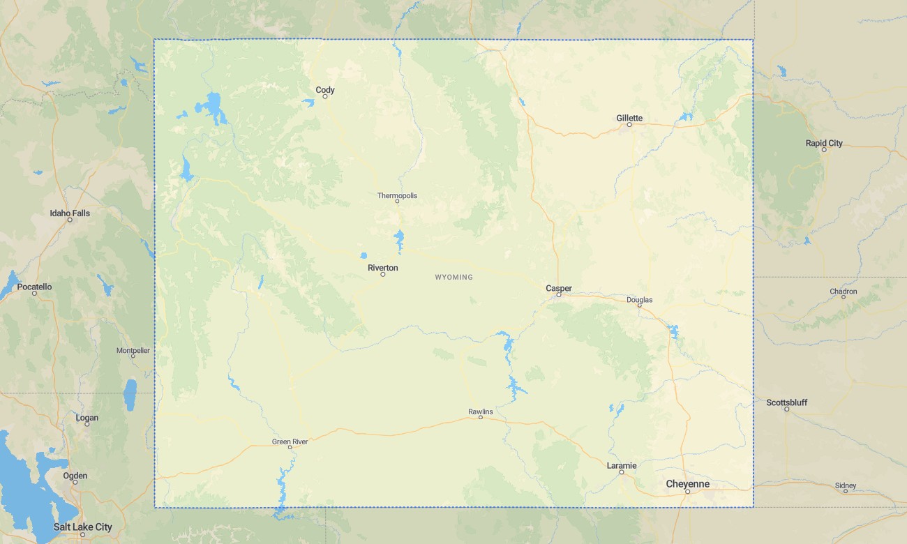
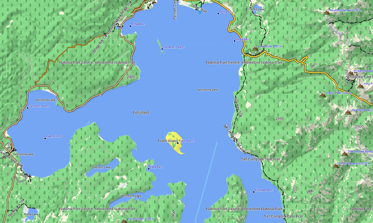
Explore Wyoming’s high mountain ranges, sagebrush basins, national park landscapes, river valleys, badlands, ranch country, alpine lakes, and remote highways with rugged Garmin maps for outdoor navigation. This Garmin GPS map covers Cheyenne, Casper, Laramie, Jackson, Cody, Gillette, Yellowstone approaches, Grand Teton region, Wind River Range, and rural communities.
Designed as a specialized OSM map tourist Garmin resource, it supports hiking, camping, fishing, hunting access, overland driving, scenic touring, and backcountry orientation. These outdoor maps Garmin users depend on operate offline, making the Garmin map essential across long empty distances, high passes, remote valleys, and mountain recreation areas.
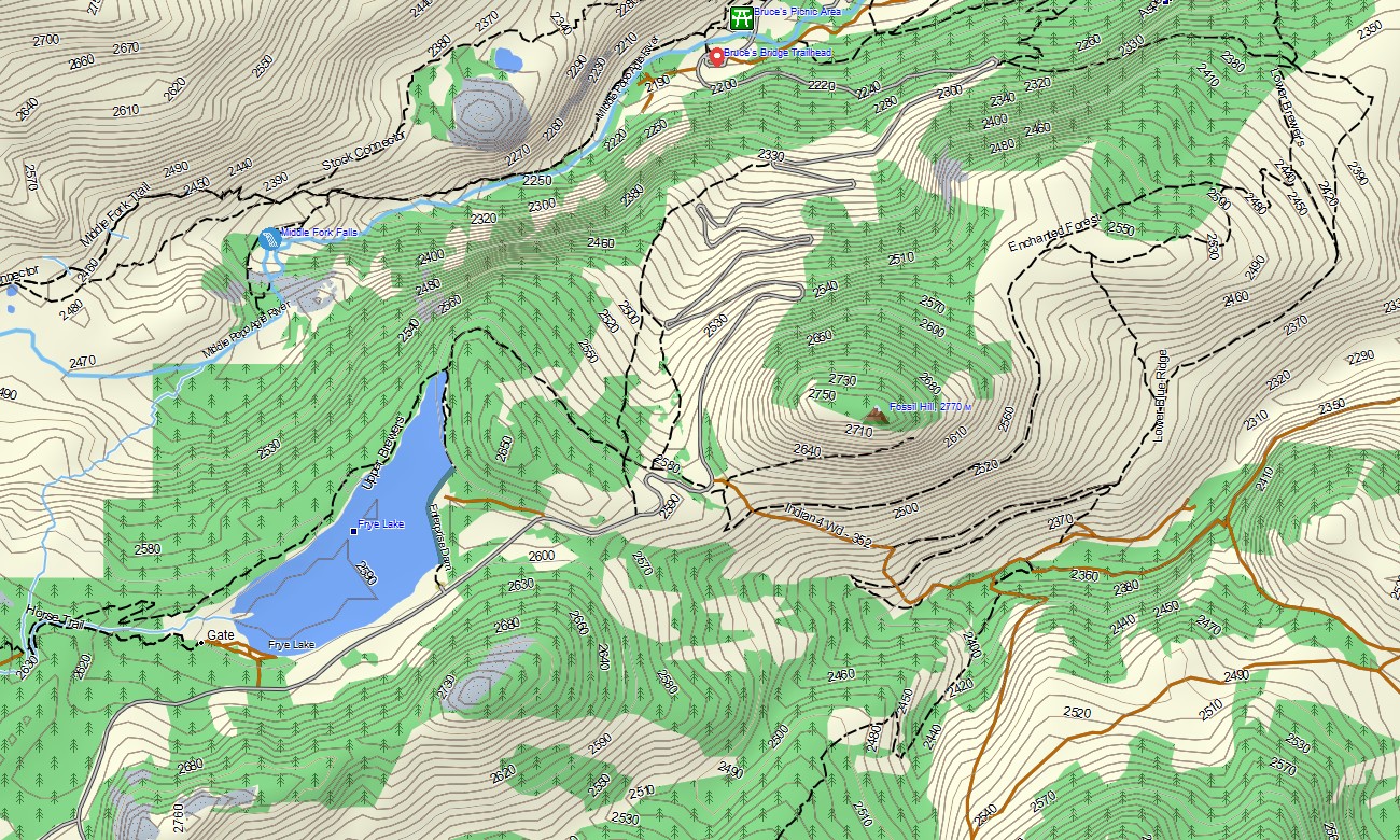
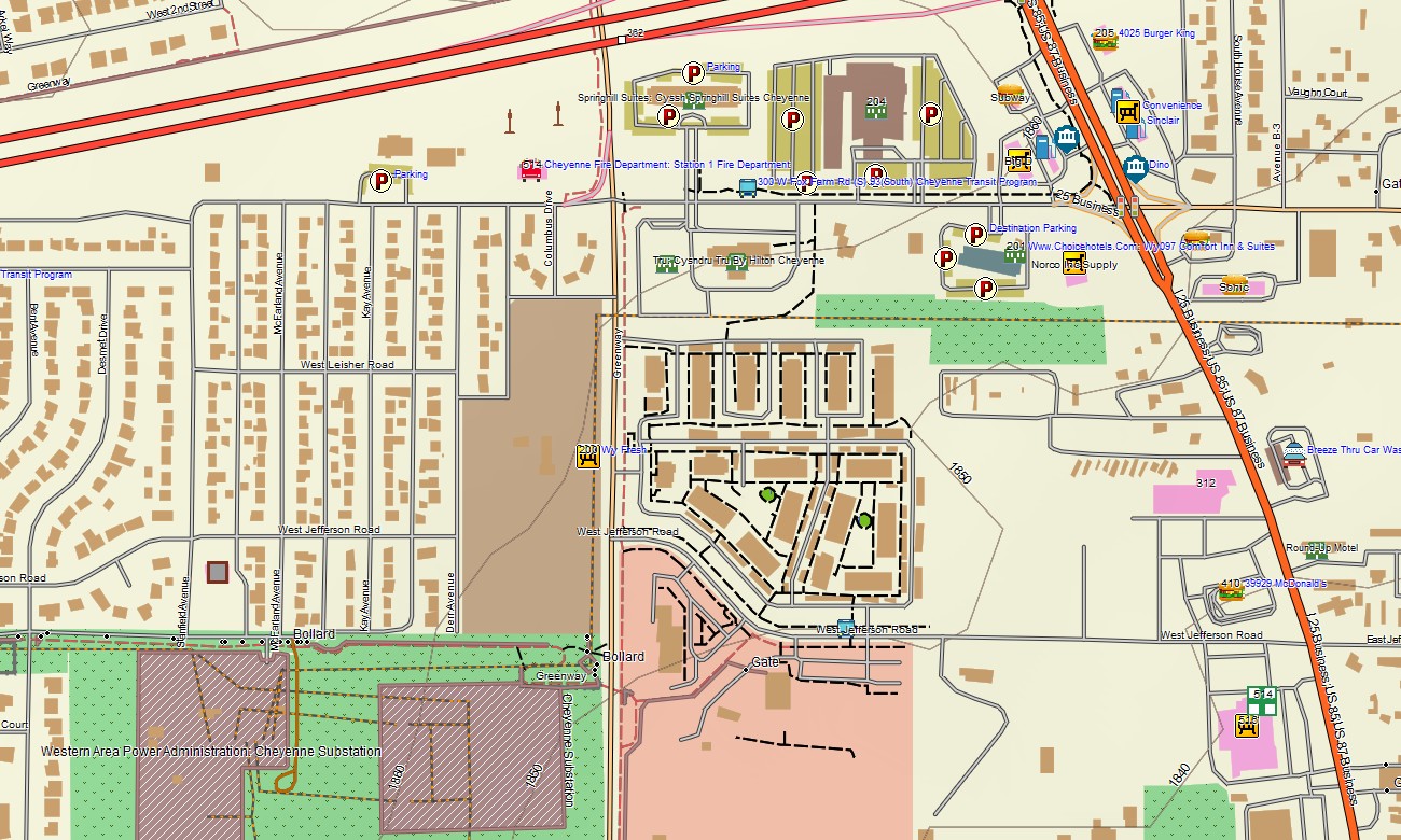
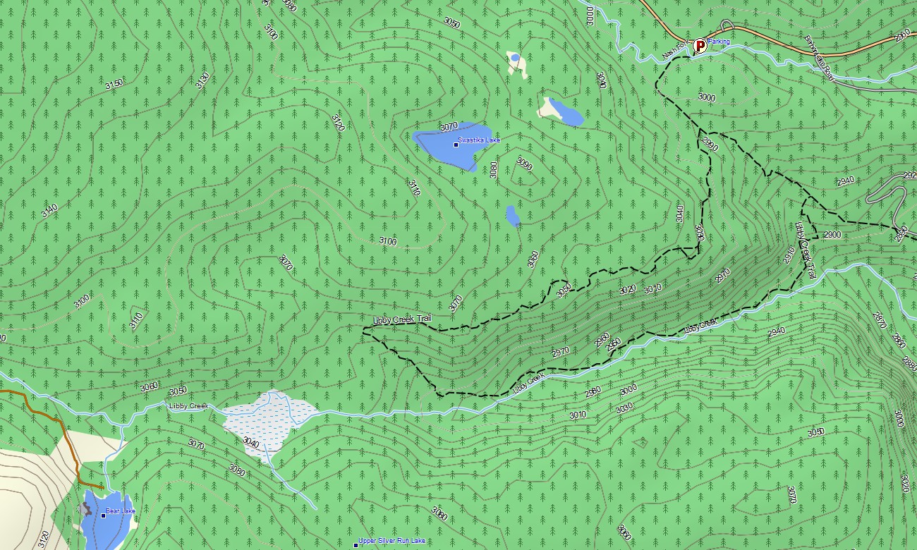
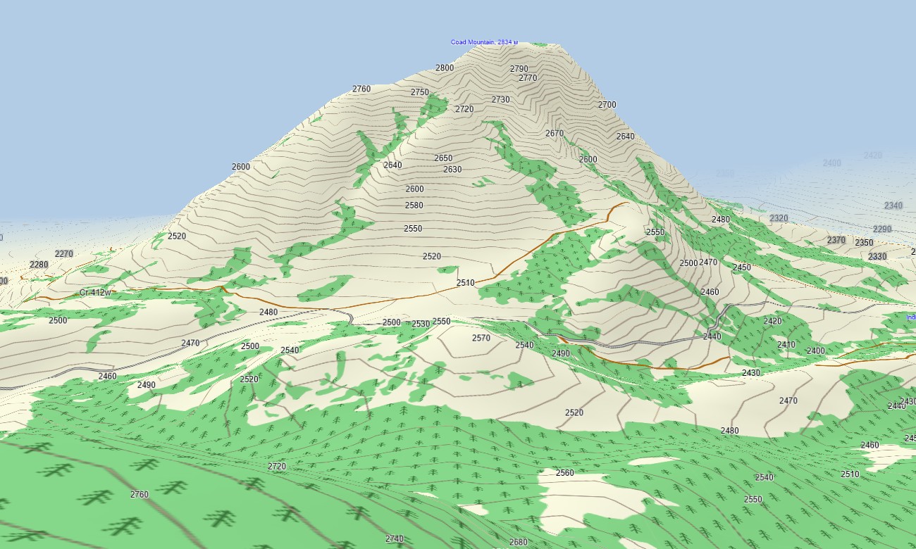
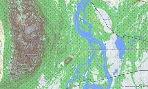
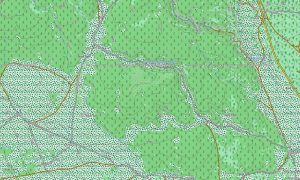
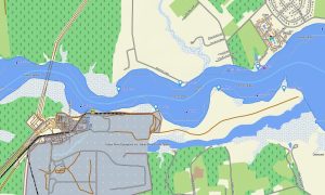
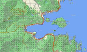
This Garmin GPS map works as an OSM topo map with city streets, ranch roads, state routes, forest roads, trails, rivers, lakes, reservoirs, ridges, passes, valleys, basins, canyons, and elevation contours. Built from open street maps Garmin compatible data, these OSM topographic maps provide strong terrain awareness for Wyoming’s wide-open and high-relief landscapes.
Maps for Garmin navigator devices support routing through towns, park gateways, ranch areas, forest access roads, and regional corridors where compatible. Whether navigating Jackson, approaching Yellowstone features, crossing sagebrush basins, or exploring mountain trailheads, this Garmin map delivers dependable offline guidance.
The product combines road networks, topographic elevation contours, hydrology, recreation trails, public-land access references, settlement detail, and natural landmarks. After purchase, use the download Garmin map link for installation on supported devices. Garmin OSM maps are practical for handheld GPS units, automotive receivers, outdoor devices, and selected models accepting a map for Garmin watch.
Key Features:
- Topographic maps for Garmin covering Wyoming with roads, ranch routes, forest tracks, trails, rivers, lakes, reservoirs, and elevation contours
- Natural features such as Rocky Mountain ranges, sagebrush basins, badlands, canyons, alpine lakes, forests, and high passes
- Road coverage including city streets, state roads, county routes, ranch roads, forest roads, and remote access tracks
- Points of interest: geyser areas, trailheads, campgrounds, viewpoints, historic sites, ranger stations, monuments
- Routing support for driving and outdoor navigation on compatible Garmin devices
- Compatible with handheld GPS units, automotive navigators, and selected Garmin watch models
Only logged in customers who have purchased this product may leave a review.
Reviews
There are no reviews yet.