
Yukon Garmin topographic map
$25
Yukon topo map for Garmin
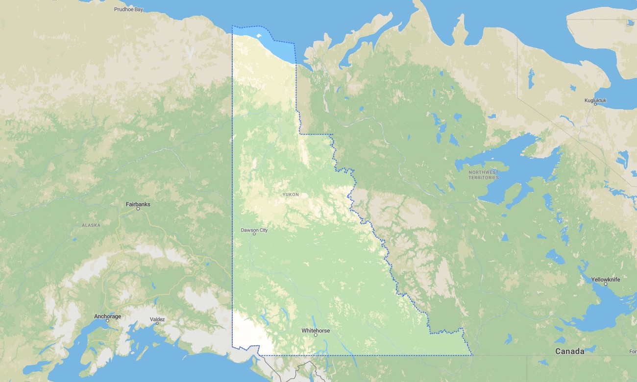
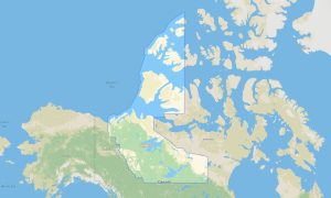
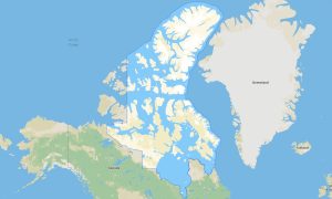
Yukon is a northern territory built for serious outdoor navigation, with vast wilderness, mountain ranges, historic gold rush routes, tundra landscapes, remote highways, and long distances between services. Detailed Garmin maps help travelers explore Whitehorse, Dawson City, Kluane National Park, the Klondike Highway, Dempster Highway, and Alaska Highway corridors. A reliable Garmin GPS map is essential where mobile service is limited or absent.
This Garmin map is designed for expedition driving, camping, hiking, wildlife viewing, cycling, paddling access, and remote touring. Created as an OSM map tourist Garmin solution, it includes important detail for gravel highways, wilderness access roads, trailheads, rivers, lakes, small communities, and protected areas. These outdoor maps Garmin users trust are valuable in a territory where preparation and offline navigation matter.
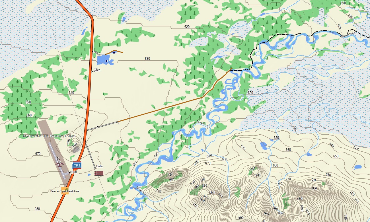
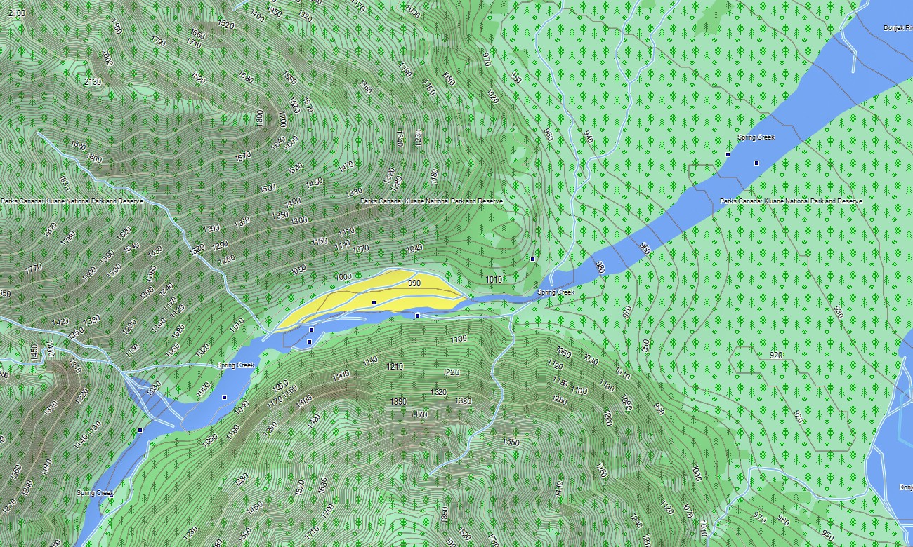
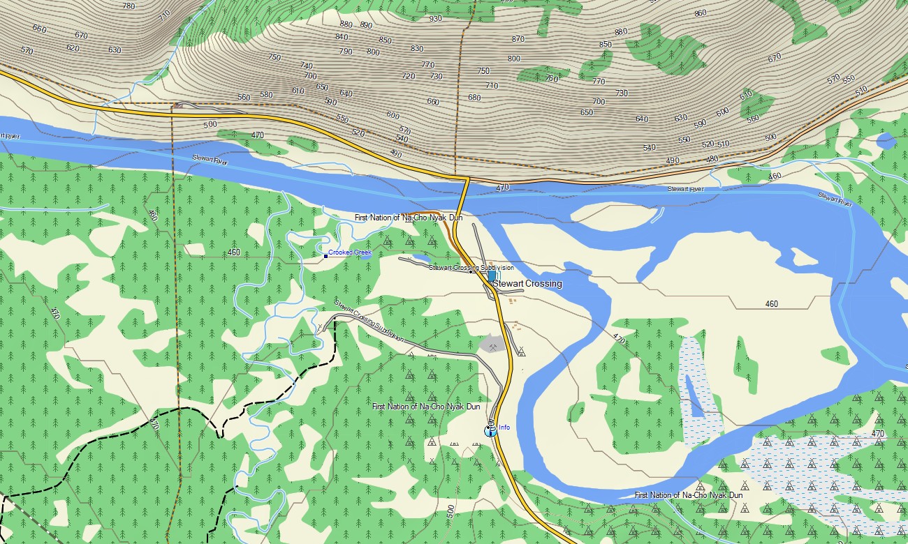
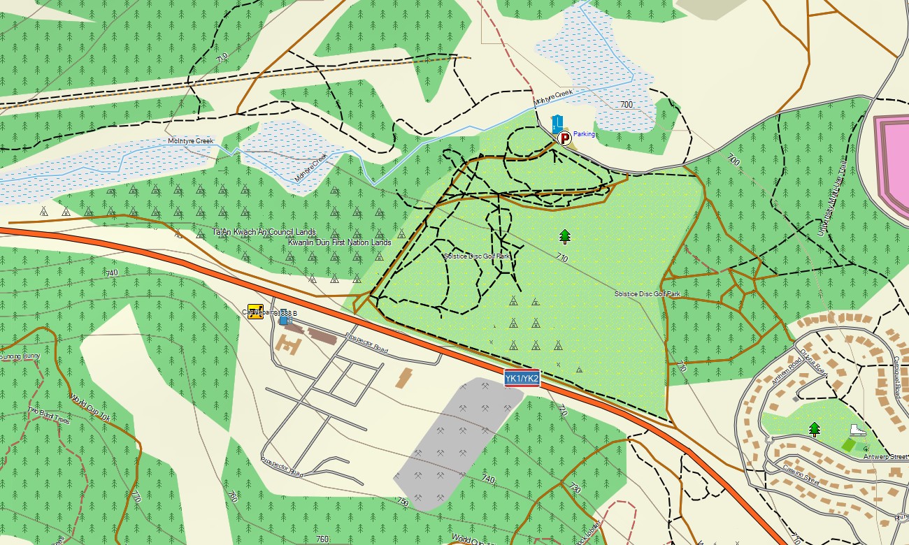
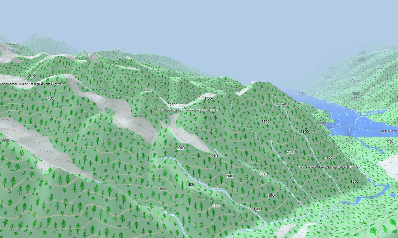
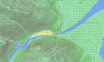
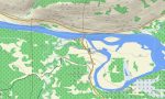
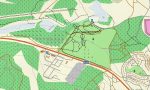
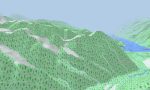
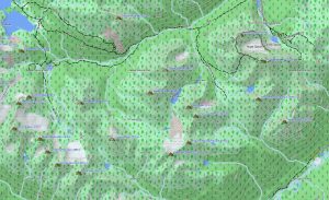
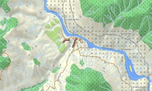
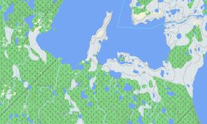
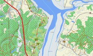
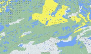
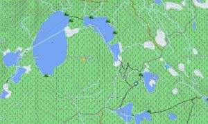
Yukon’s terrain includes glaciers, high mountains, boreal forest, tundra, river valleys, alpine lakes, and vast unpopulated areas. This Garmin GPS map functions as an OSM topo map, showing highways, rural tracks, trails, rivers, lakes, ferries, parks, peaks, and elevation contours. The OSM topographic maps help users understand passes, valley systems, river crossings, and remote route conditions.
Maps for Garmin navigator devices support long-distance driving on the Alaska Highway, Klondike Highway, and Dempster Highway. A map for Garmin watch is useful for hikers and cyclists following trails around Whitehorse, Kluane, Tombstone Territorial Park, and wilderness routes.
Based on open street maps Garmin compatible data and included in our Garmin OSM maps series, this product combines road, trail, water, POI, and terrain layers. After purchase, users can download Garmin map files for installation on compatible devices. These topographic maps for Garmin support safe offline navigation across Yukon.
Key Features:
- Topographic maps for Garmin covering Yukon with highways, gravel roads, rural tracks, trails, rivers, lakes, glaciers, ferries, parks, wilderness areas, and elevation contours
- Natural features include Kluane icefields, St. Elias Mountains, Tombstone ranges, Yukon River, boreal forests, tundra, alpine valleys, northern lakes, and mountain passes
- Road coverage includes Alaska Highway, Klondike Highway, Dempster Highway, local streets, community roads, park access roads, and remote travel corridors
- Points of interest include campgrounds, viewpoints, trailheads, historic gold rush sites, ferry crossings, visitor centers, hot springs, airstrips, and protected areas
- Routing support helps compatible Garmin devices provide offline guidance for northern touring and wilderness access
Only logged in customers who have purchased this product may leave a review.
Reviews
There are no reviews yet.